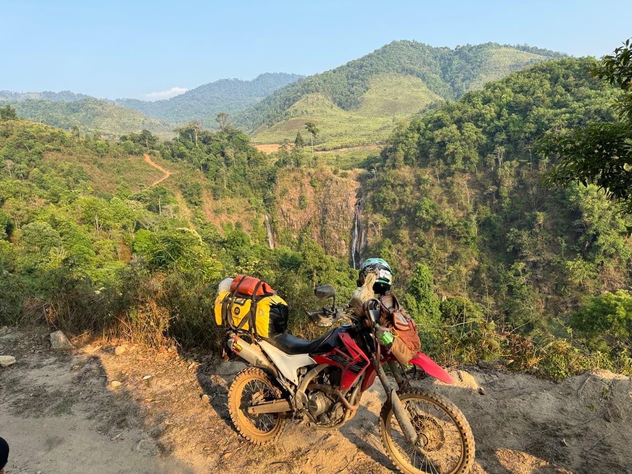
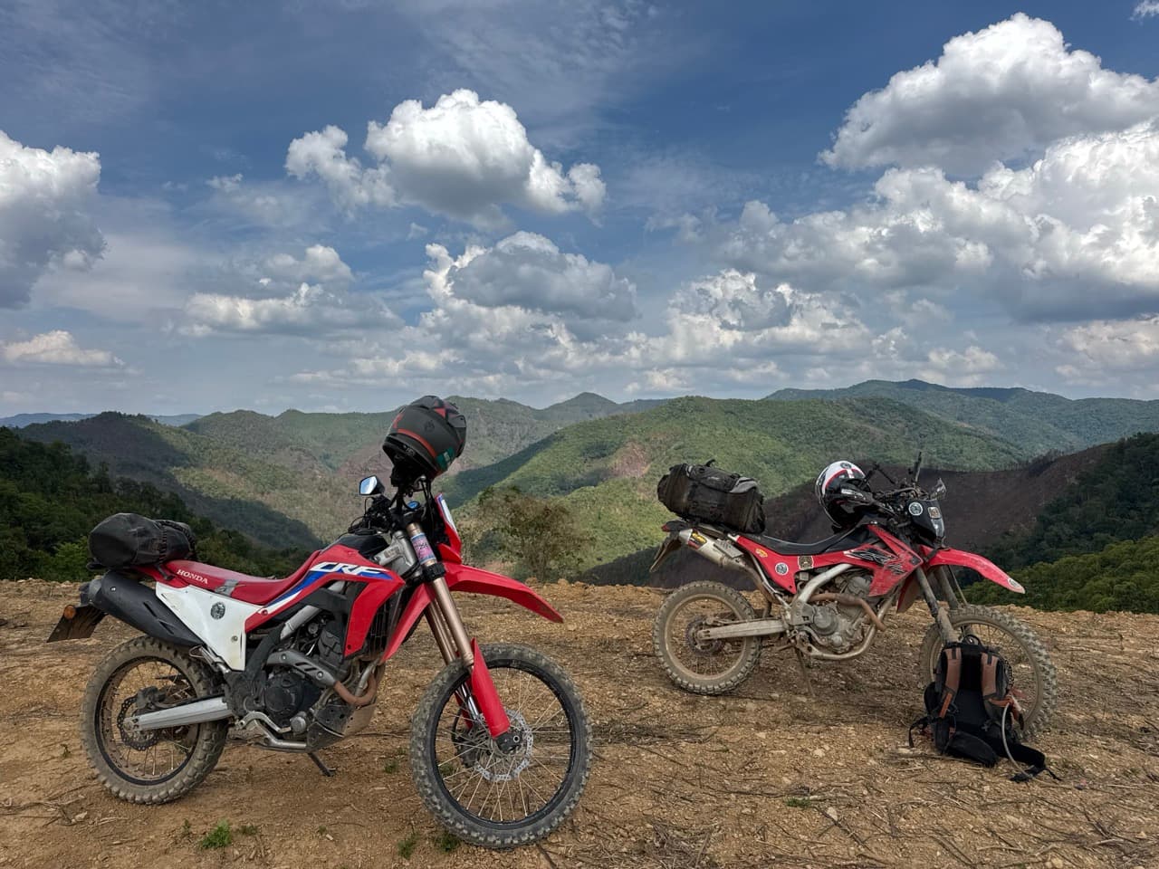
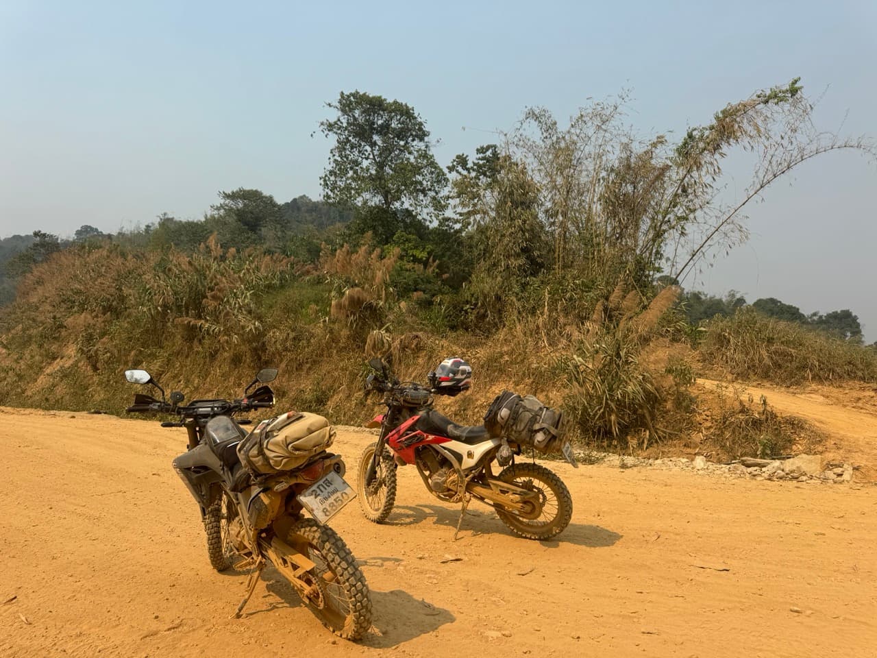
We left Chiang Mai after work on the Friday, which meant most of the 1095 happened in the dark. If you've ridden a CRF at night you know how that goes — the standard headlight puts a puddle of light not quite as far ahead as you'd like to be stopping from, and the 1095 is not a road that rewards arriving at a corner late. We got into Pai just after eight. We wouldn't do it that way again, and that is the single most useful thing in this report.
| Quick Facts | |
|---|---|
| Days | 3 |
| Distance recorded | 363.1 km — 112.7 km on day one, 134.3 km on day two, 116.1 km on day three |
| Not in the tracks | ~20 km out of Chiang Mai, ~45 km Pai to Ban Jabo, ~55 km back into Mae Hong Son, ~110 km Ban Wat Chan to home |
| Riders | 2 — a Honda CRF250L and a Honda CRF300L |
| Season | Late wet season (October) |
| Surface | Tarmac between the towns, then red clay, concrete farm lanes, gravel and river crossings |
| High point | 1,414 m on day one, 1,304 m on day two, 1,349 m on day three |
| Sleep | AI Pai (night one), B2 Mae Hong Son Premier Resort (night two) |
| Notable | Ban Jabo, the Loi Tai Leng checkpoint, Ban So Bae, the Mae Hong Son River Run, the Tail of the Elephant |
| Skill level | Easy to moderate — and a different ride entirely when it is wet |
The Whole Trip, in One Map
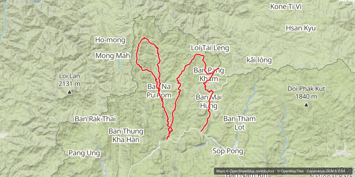
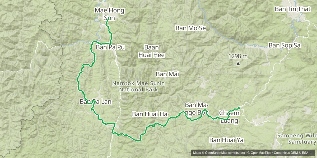
Three days, two nights, and four trails that were new to us. Day one is the transit up to Pai and nothing more. Day two works north out of Ban Jabo to the Myanmar border, comes back down, and goes straight out again on a second loop. Day three leaves Mae Hong Son heading south along the river, then cuts east over the hills to Ban Wat Chan and home.
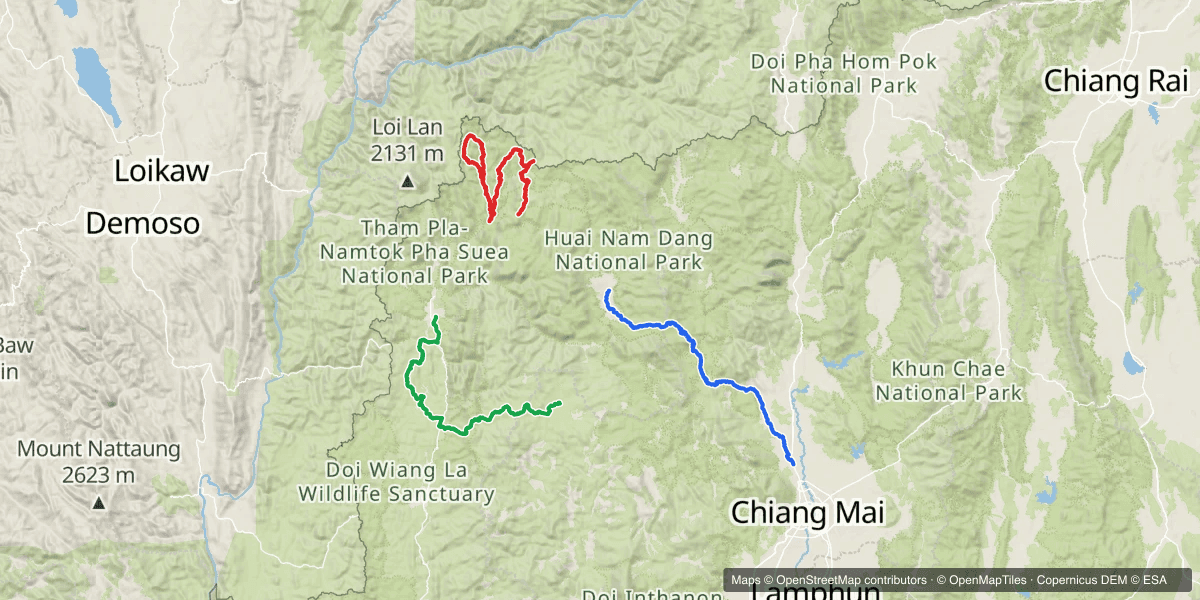
The Route at a Glance
| Day | Route | Distance | Sleep |
|---|---|---|---|
| Day 1 | Chiang Mai → Mae Rim → the 1095 → Pai | 112.7 km | AI Pai |
| Day 2 | Pai → Ban Jabo → the Myanmar border → Ban So Bae → Mae Hong Son | 134.3 km | B2 Mae Hong Son |
| Day 3 | Mae Hong Son → the River Run → Ban Wat Chan → Chiang Mai | 116.1 km | Home |
Why Not Just Ride the Mae Hong Son Loop?
Because the loop is tarmac, and the dirt is the part you have to go looking for. This trip uses Pai and Mae Hong Son as places to sleep and spends the daylight on four trails we had not ridden before, two of them within sight of Myanmar. The towns are the punctuation. The trails are the sentence.
Day 1 — Chiang Mai to Pai in the dark (112.7 km)
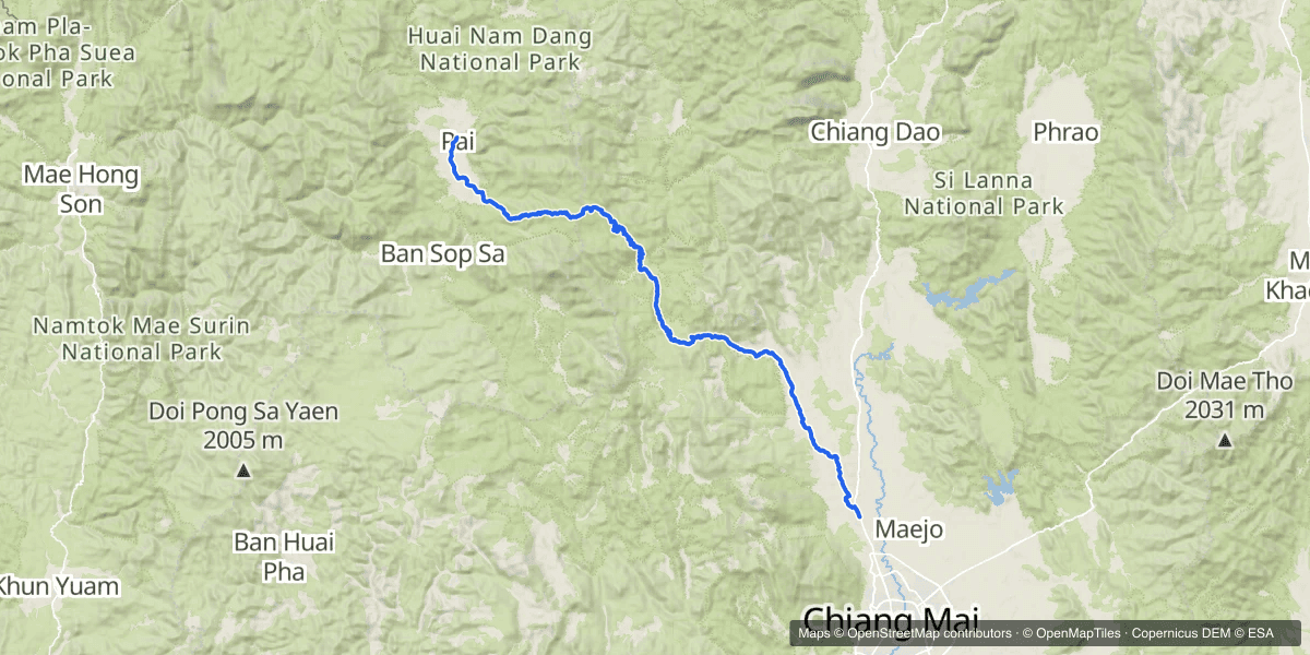
The track starts at Mae Rim. The twenty-odd kilometres from town out to there is suburb and dual carriageway, we ride it constantly, and neither of us thought to hit record until we were already past it.
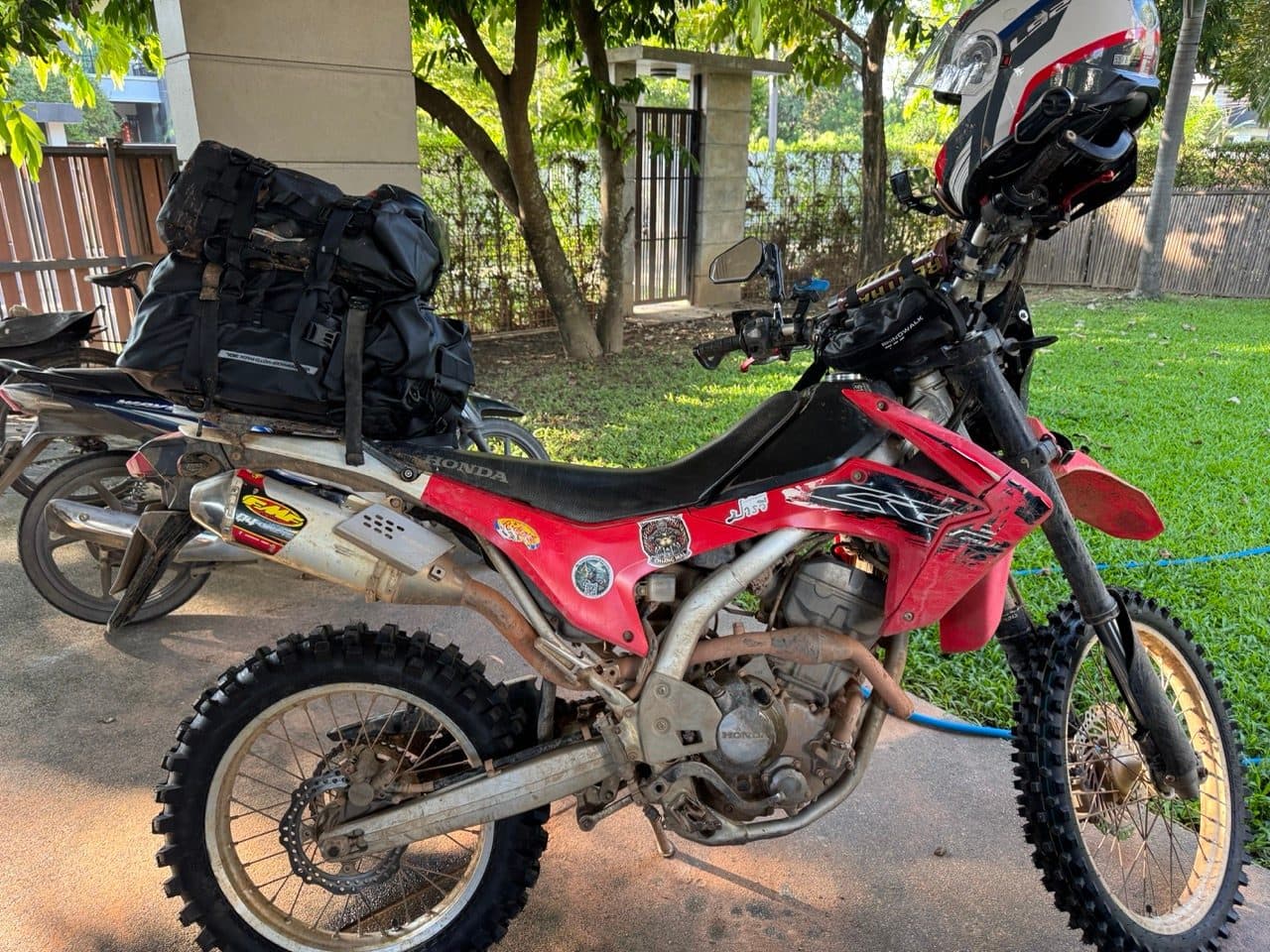
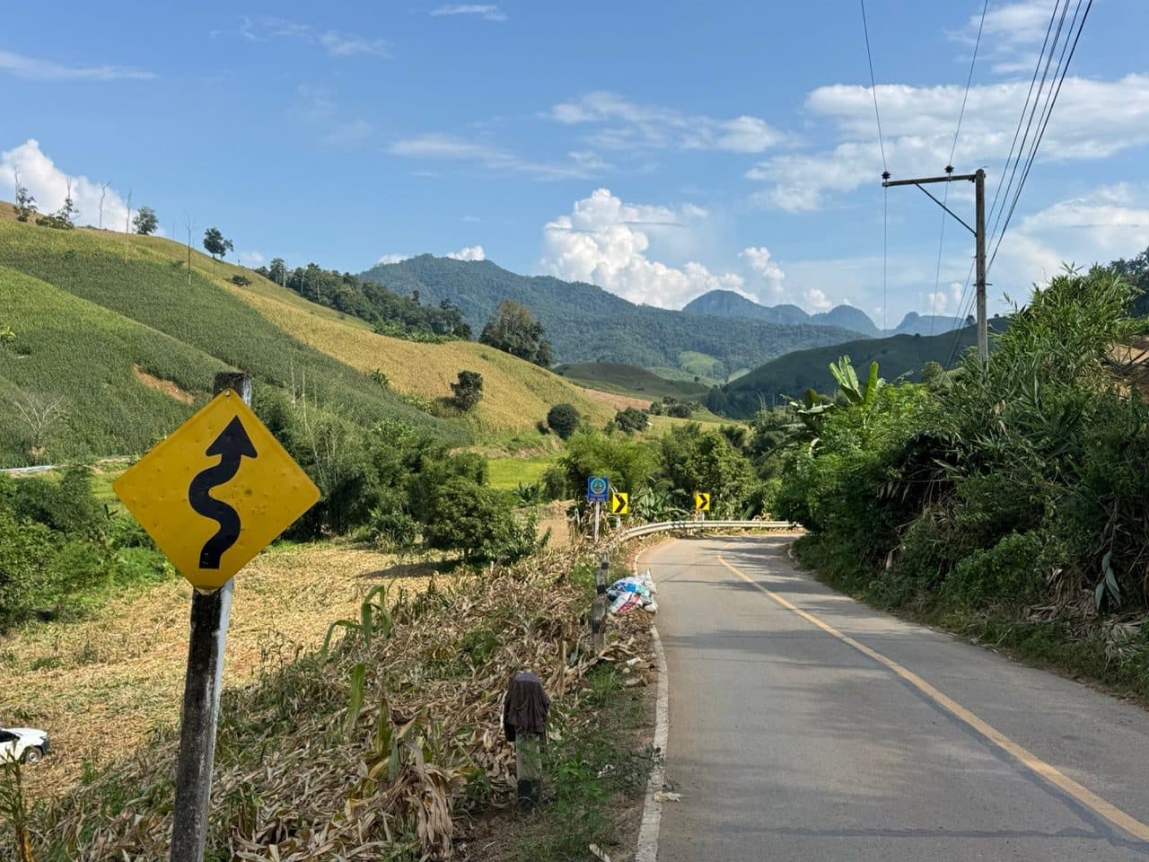
Then it is the 1095, which is a genuinely good road and was completely wasted on us. We left at five, the light went not long after six, and the remaining hour and a half was spent reading a mountain road neither of us could see far enough down. The CRF headlight is fine for getting home from dinner. It is not fine for this, and if you are doing this trip the one change worth making is to leave Chiang Mai at lunchtime instead.
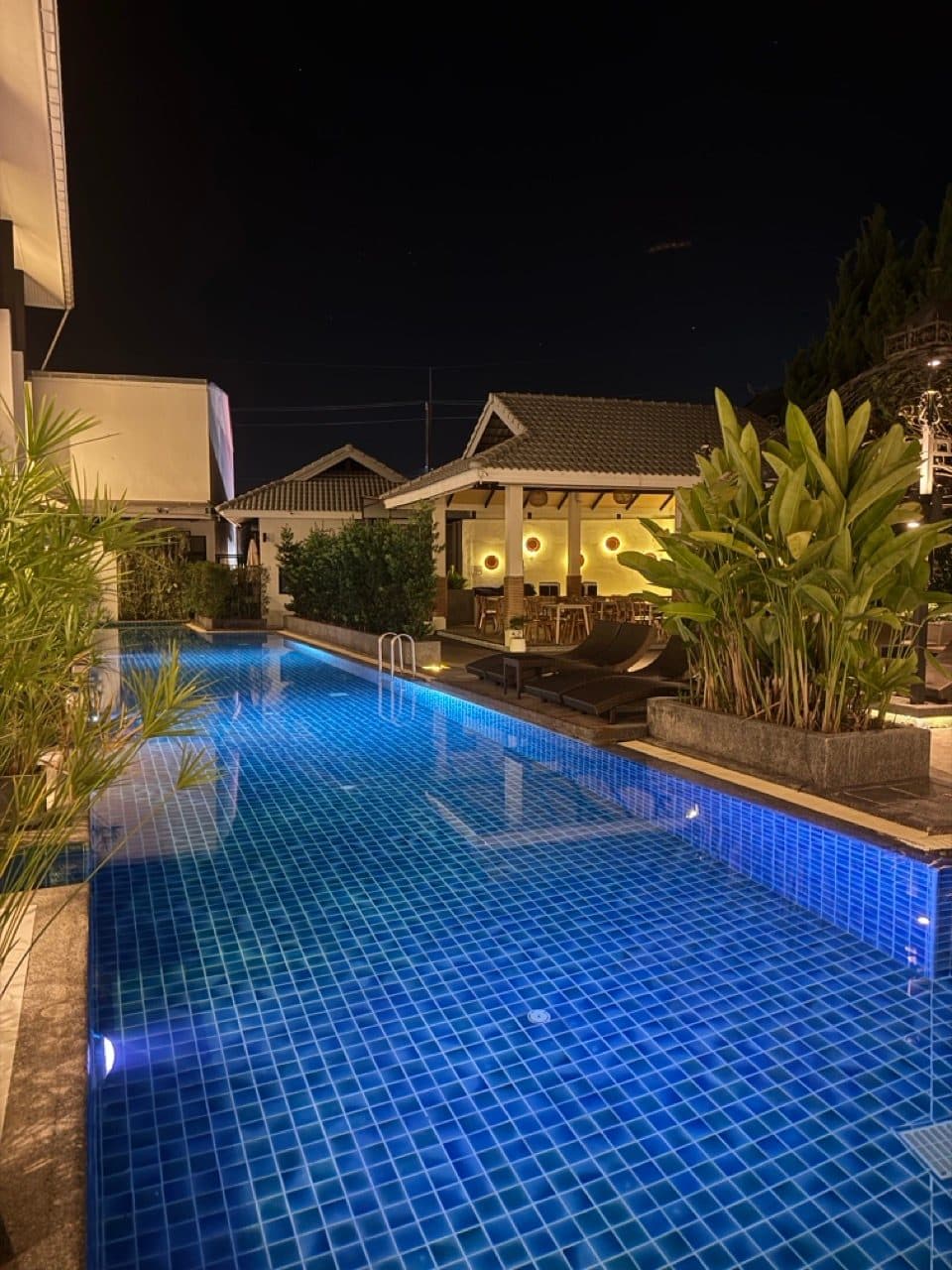
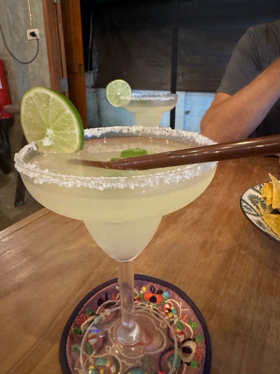
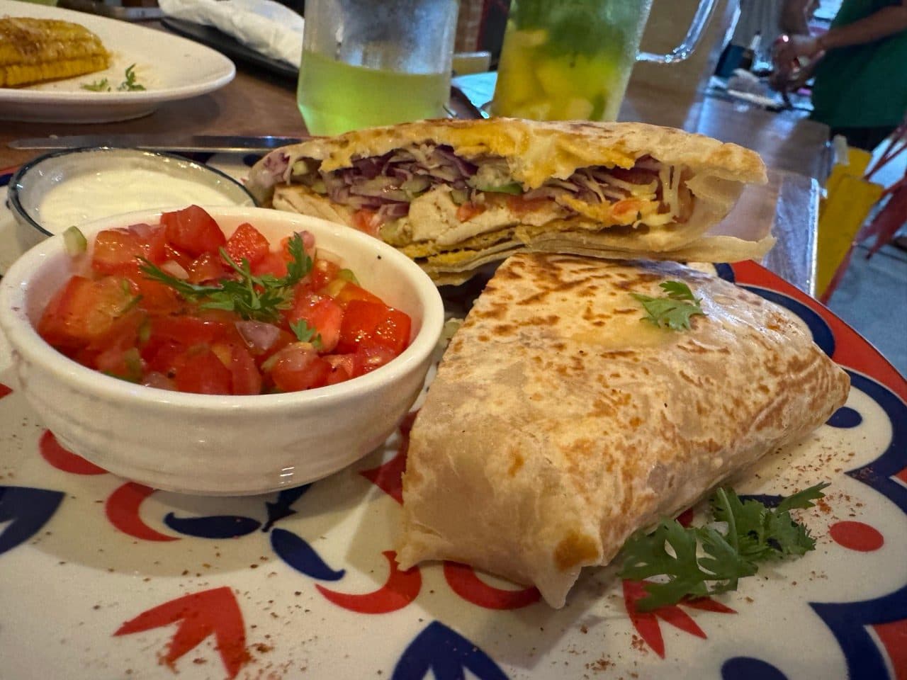
We got in just after eight, dropped the bags at AI Pai and walked out for Mexican at Centrico. Margaritas were involved. It had been that kind of evening.
Day 2 — Ban Jabo, the border and Ban So Bae (134.3 km)
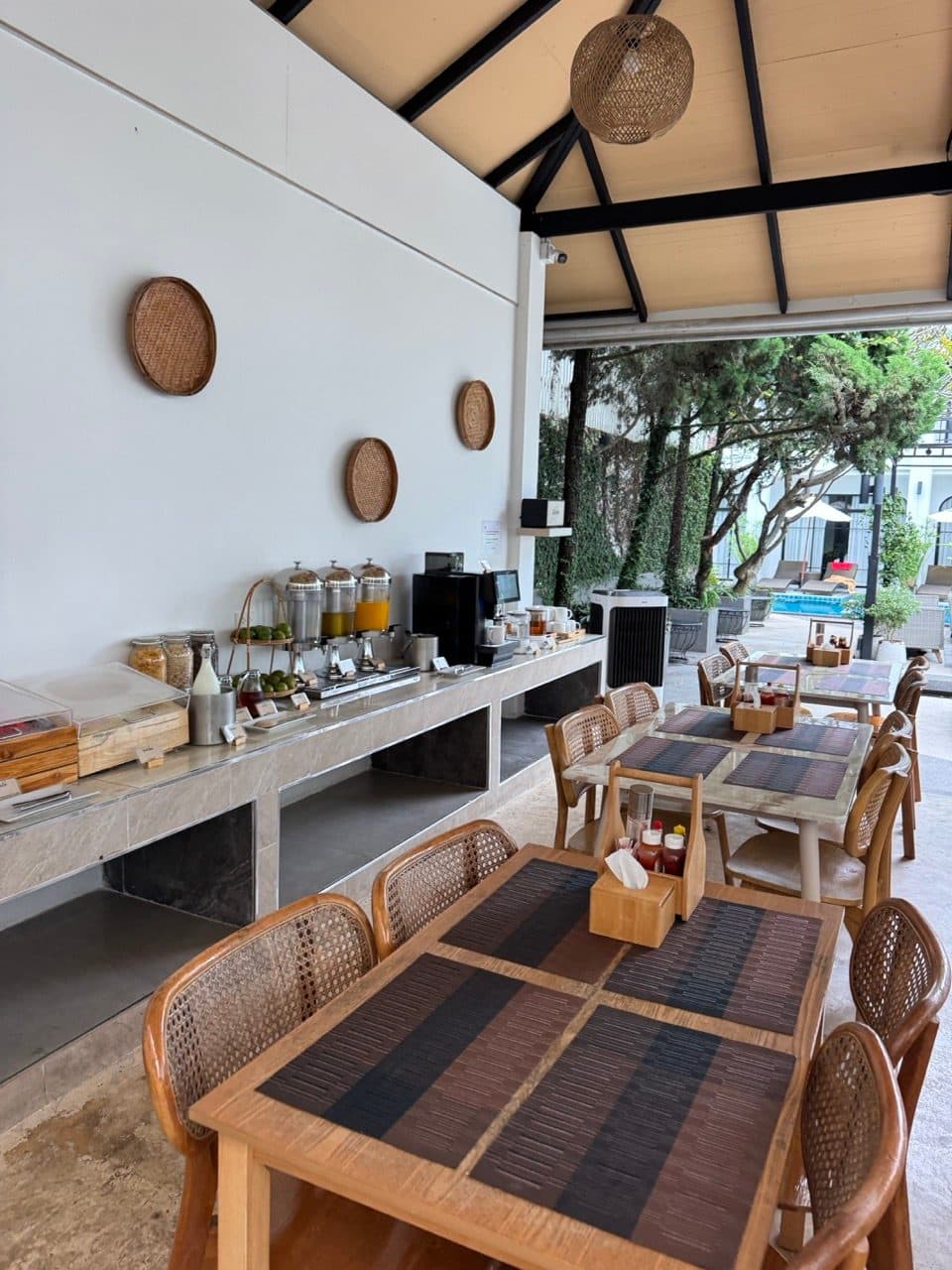
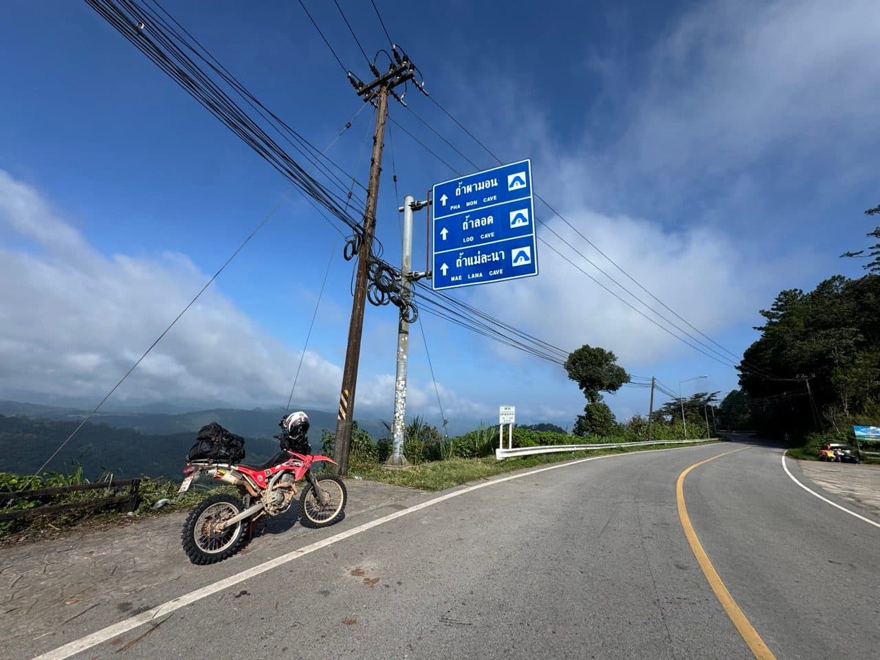
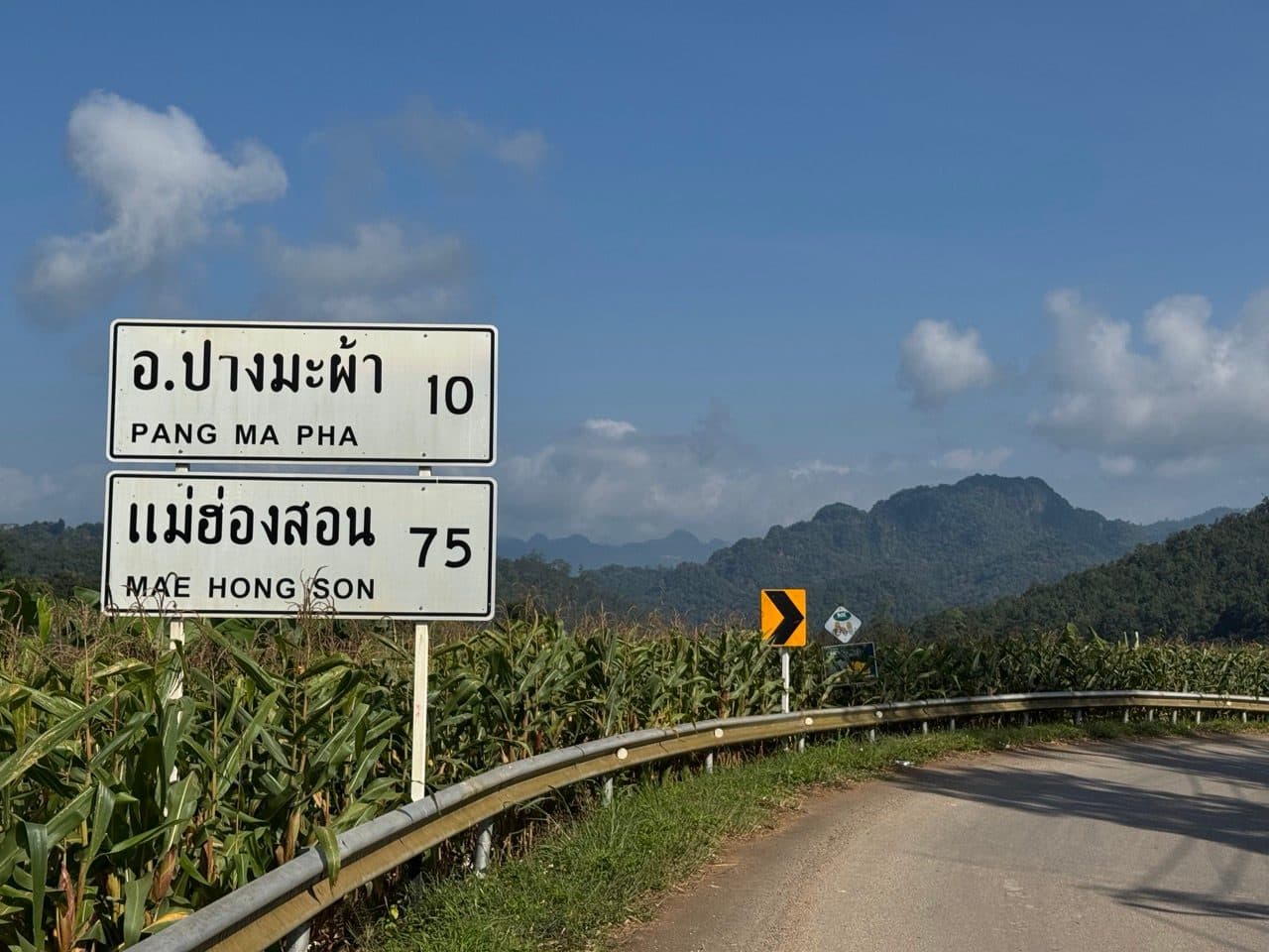
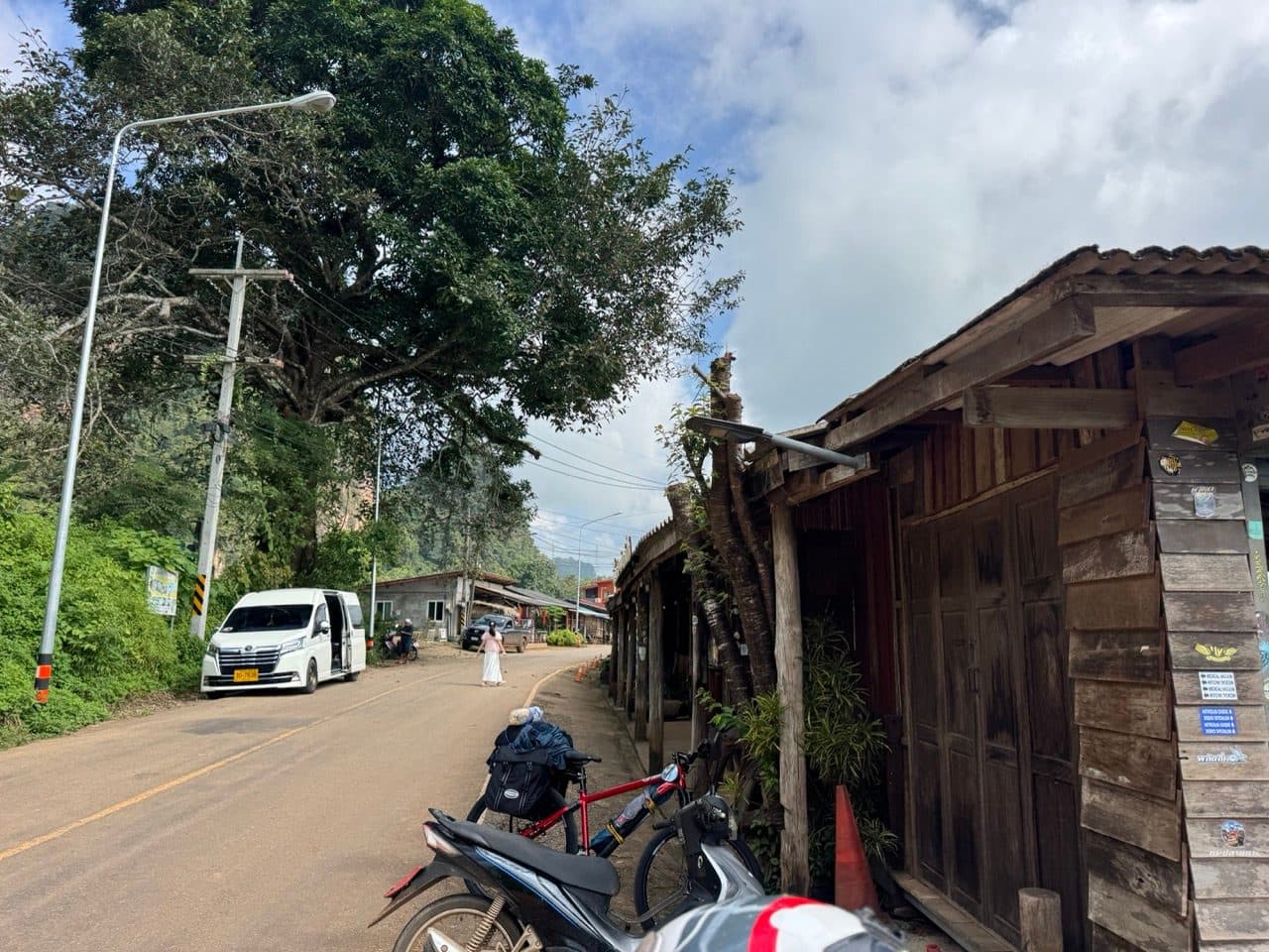
Breakfast at the hotel, then north on the 1095 toward Soppong. That stretch is unrecorded too — about 45 km of very good tarmac past the turnoffs for Lod, Pha Mon and Mae Lana caves, all signed off the same corner.
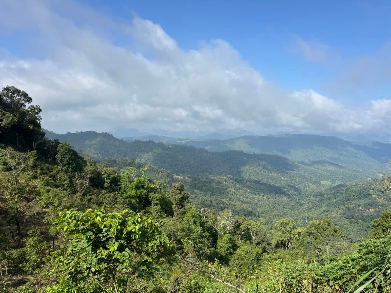
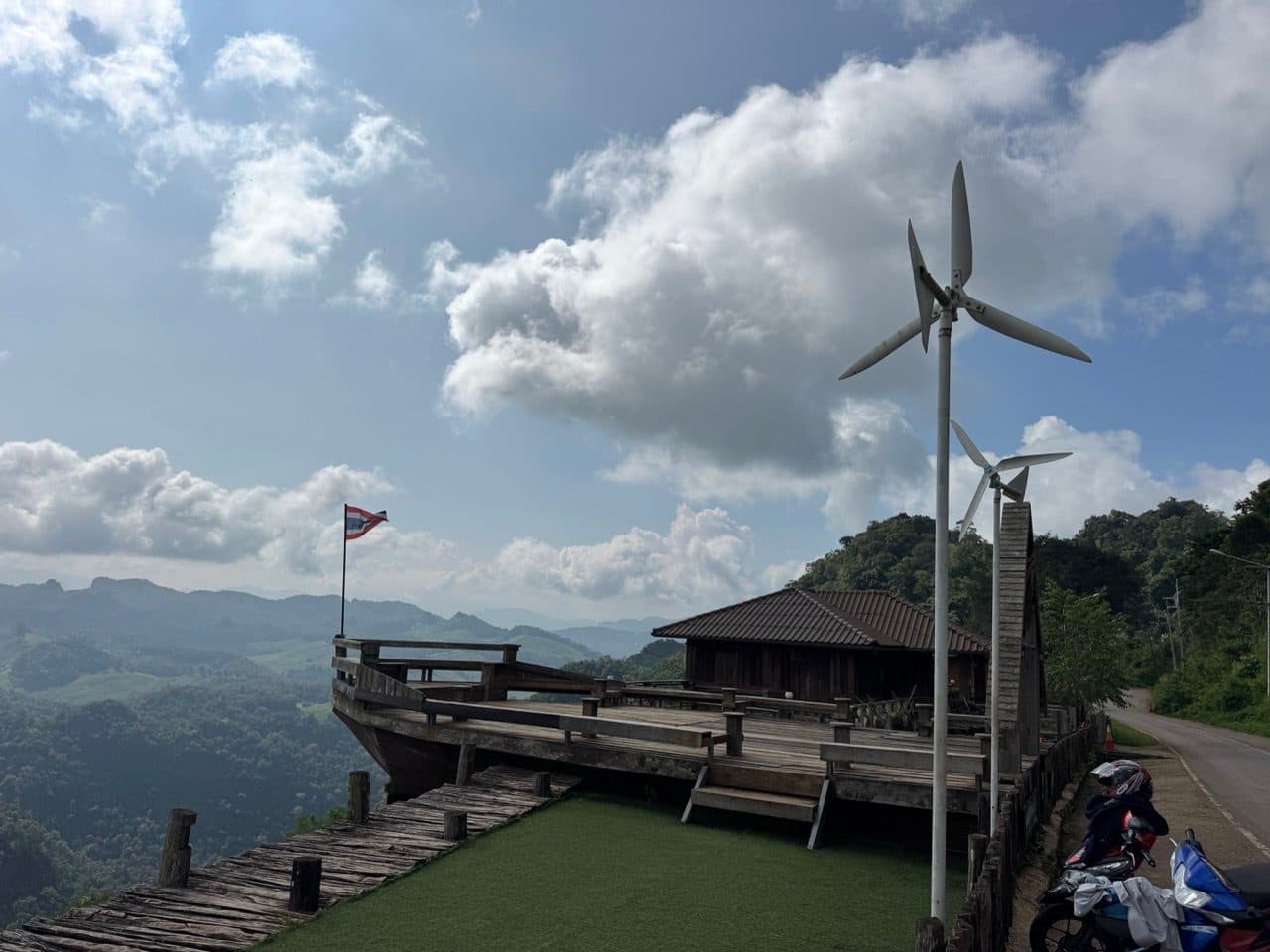
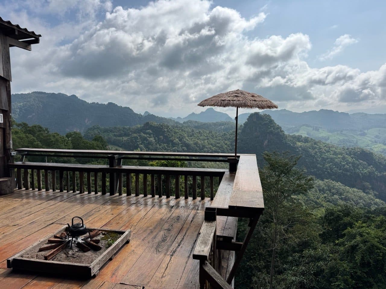
Coffee at Ban Jabo. If you have not been, it is a village on a ridge north of Soppong with a noodle place built as a wooden deck hanging off the edge of it. You sit on the floor with your feet over nothing and the karst goes on as far as you can see. It is the most photographed breakfast in Mae Hong Son province and it has earned that.
From there we went north toward the Myanmar border, on what we have since written up as the Phang Ma Pha Border Loop. The plan had been a military road running along the border itself. The border guards turned us around — politely, and with no argument available — so we took the road toward Loi Tai Leng instead.
About twenty kilometres short of the border there is a checkpoint. They stopped us and asked where we were going, and once it was established that we were not trying to ride into Myanmar they were entirely friendly about it. We could carry on, they said, provided we turned left onto a track a little further along and looped back south rather than continuing to Loi Tai Leng. That seemed more than fair. We did exactly that.
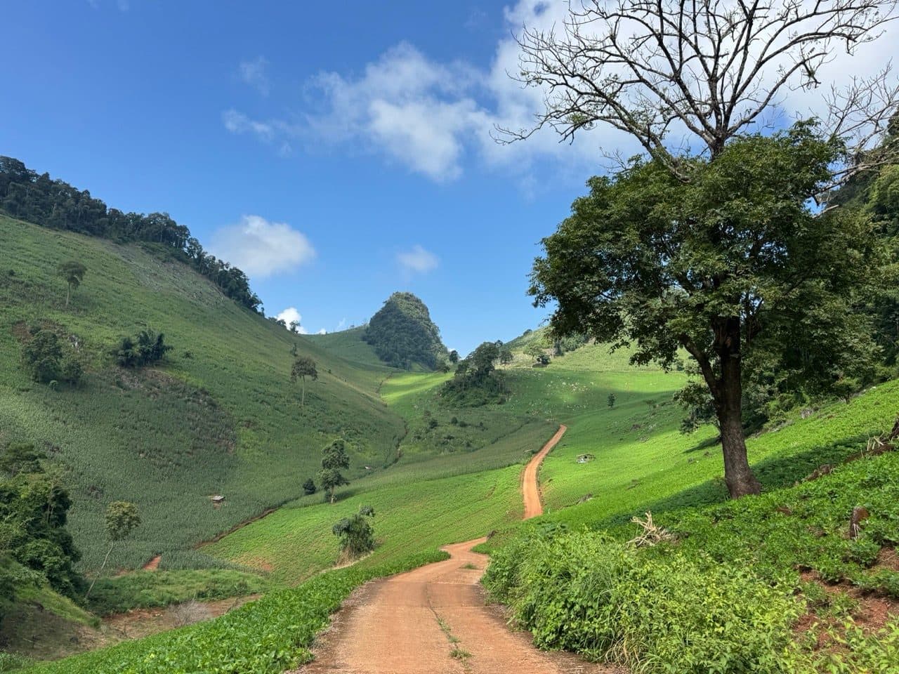
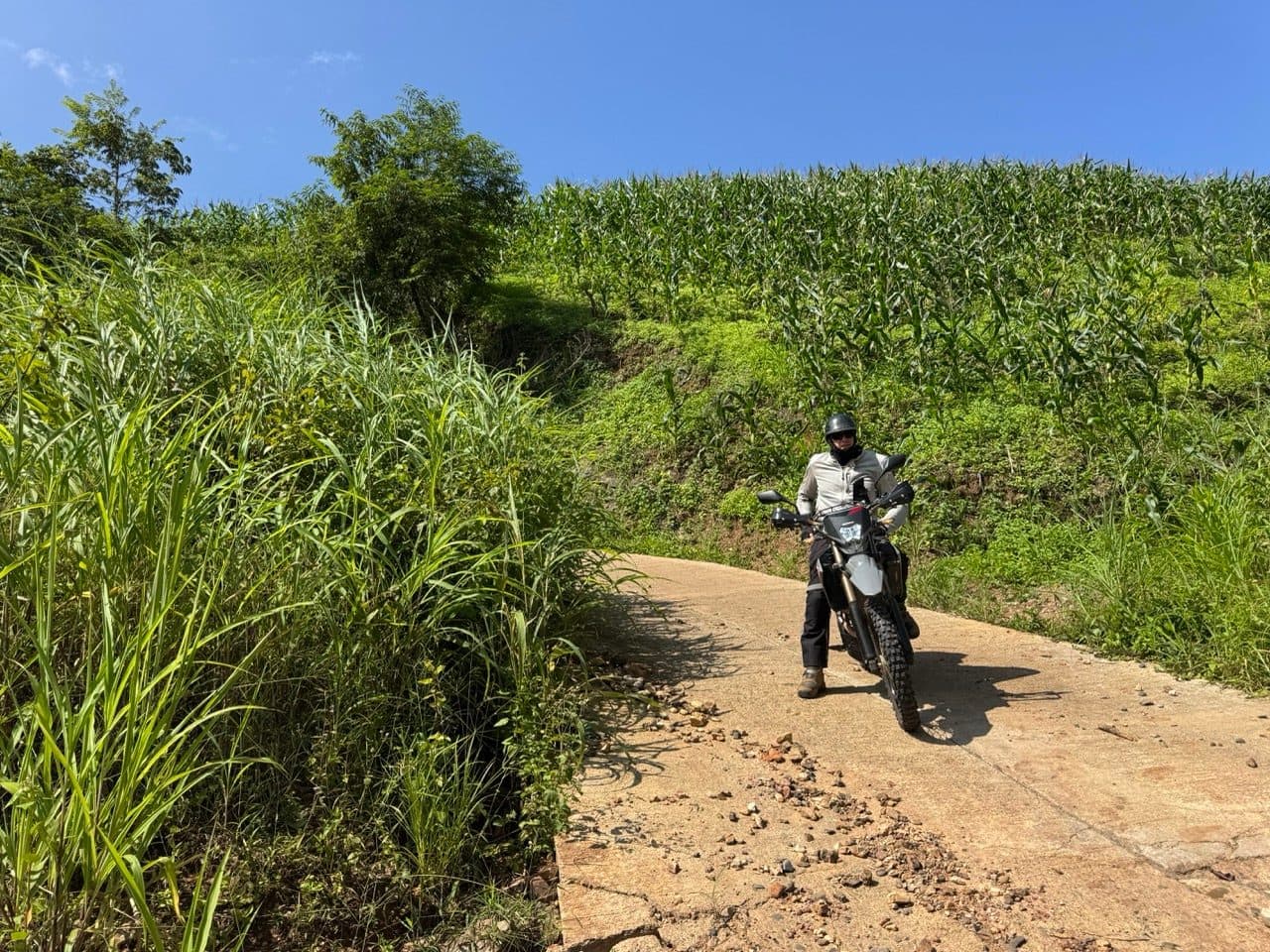
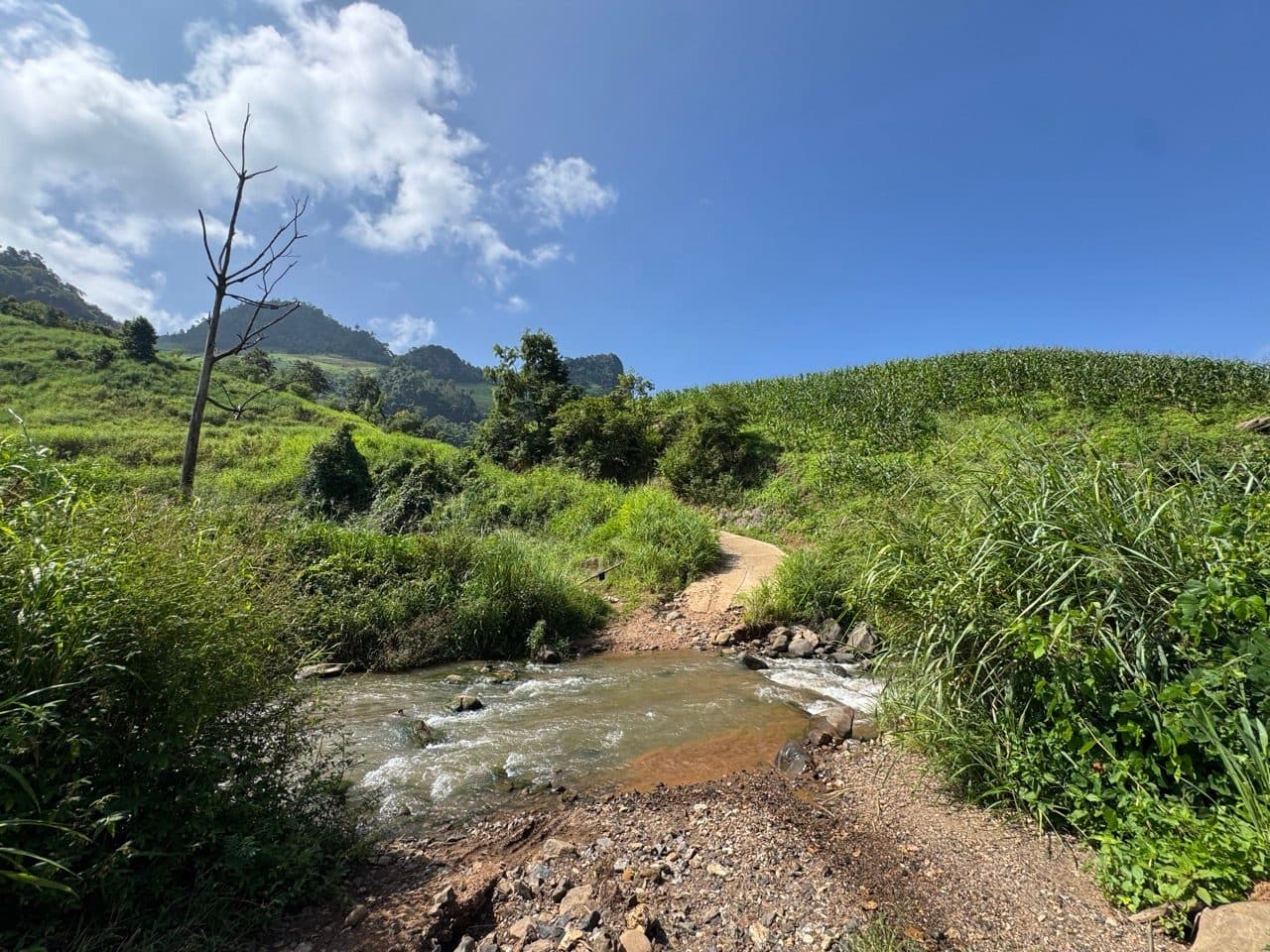
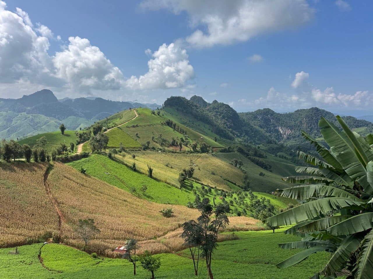
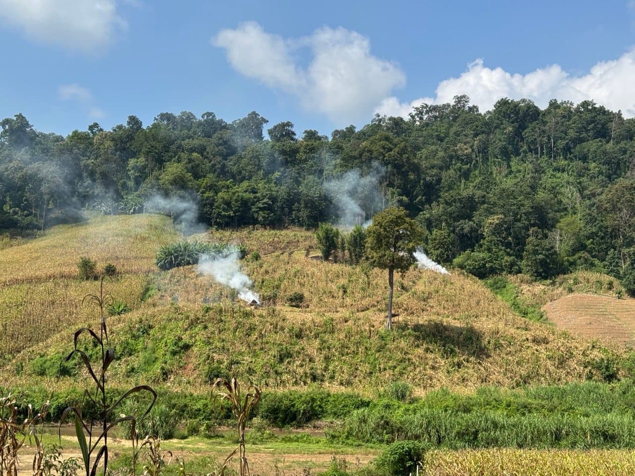
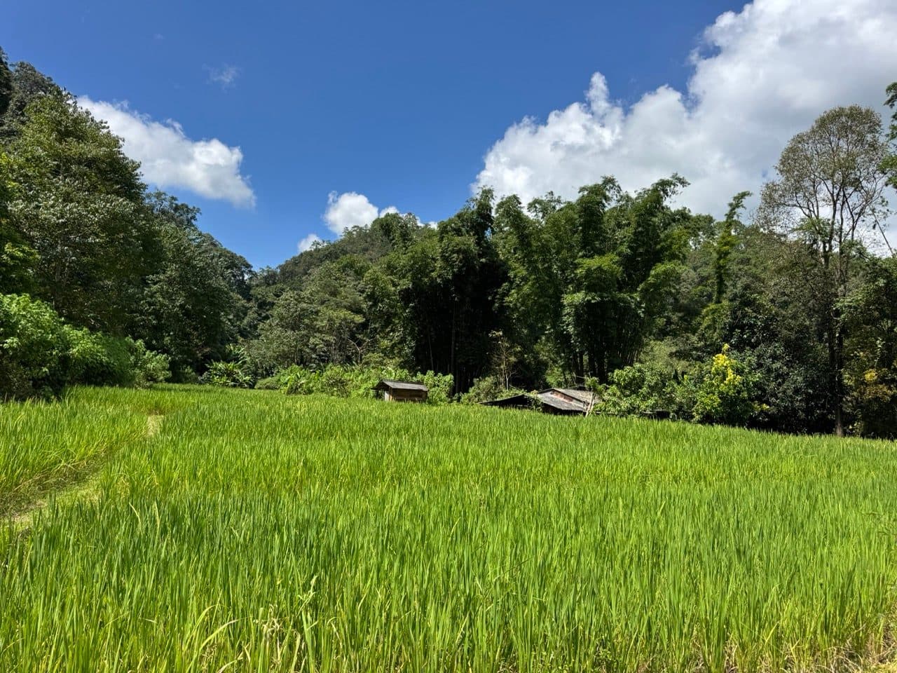
What is in between is the reason to come up here. Red clay and concrete farm lanes threading between hill-tribe villages, rice terraces in the bottoms, corn up every slope that will hold it, and a ridge section where the track runs along the top with karst peaks stacked up behind.
One section is being actively rebuilt. We came over a rise into a few hundred metres of churned clay with a tipper truck sitting in it and a Kubota with a dozer blade pushing the mess around. Everyone waved. Riding through it was slow rather than hard — first gear, pick a rut, keep moving — though it would have been a different proposition in the wet. Our read is that the construction traffic was headed into Myanmar, but that is our read and not something anybody told us.
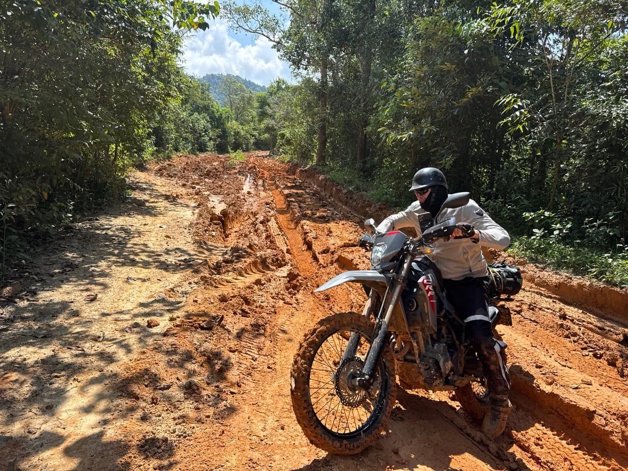
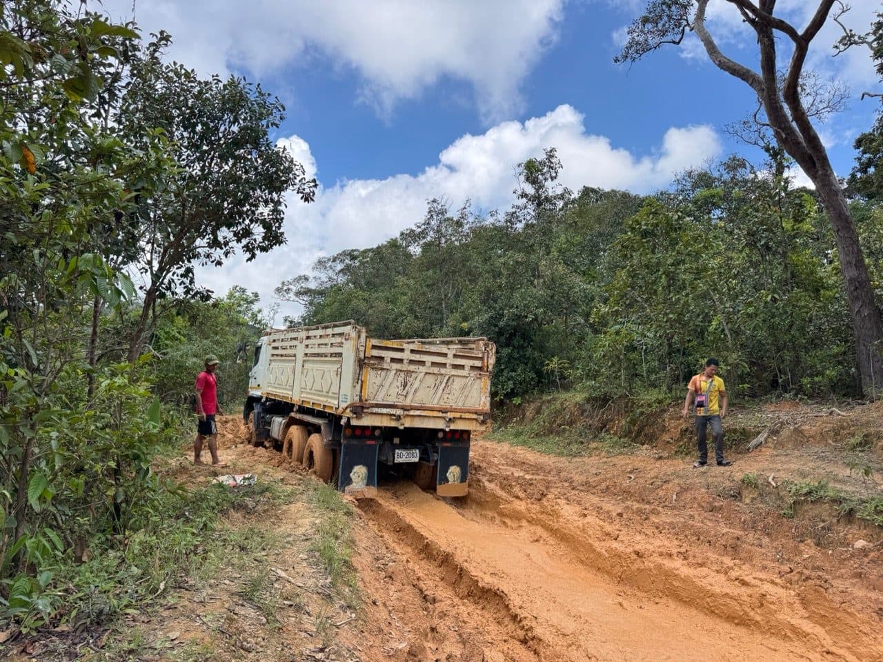
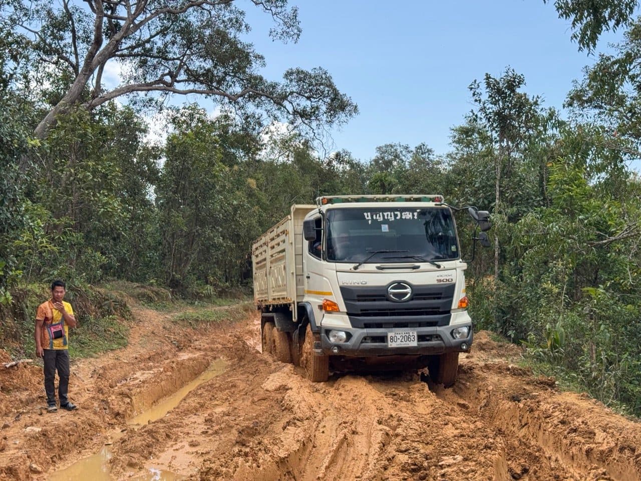
Past the works it goes quiet again — forest tracks climbing through big trees, then back out into the corn and down.
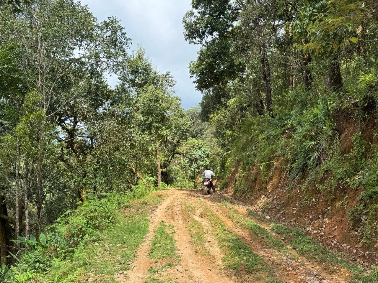
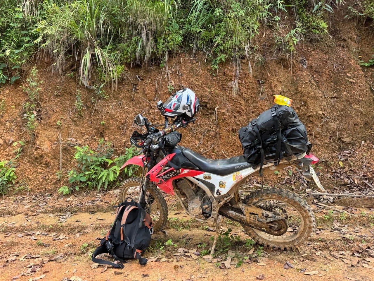
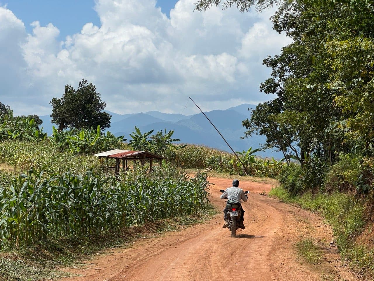
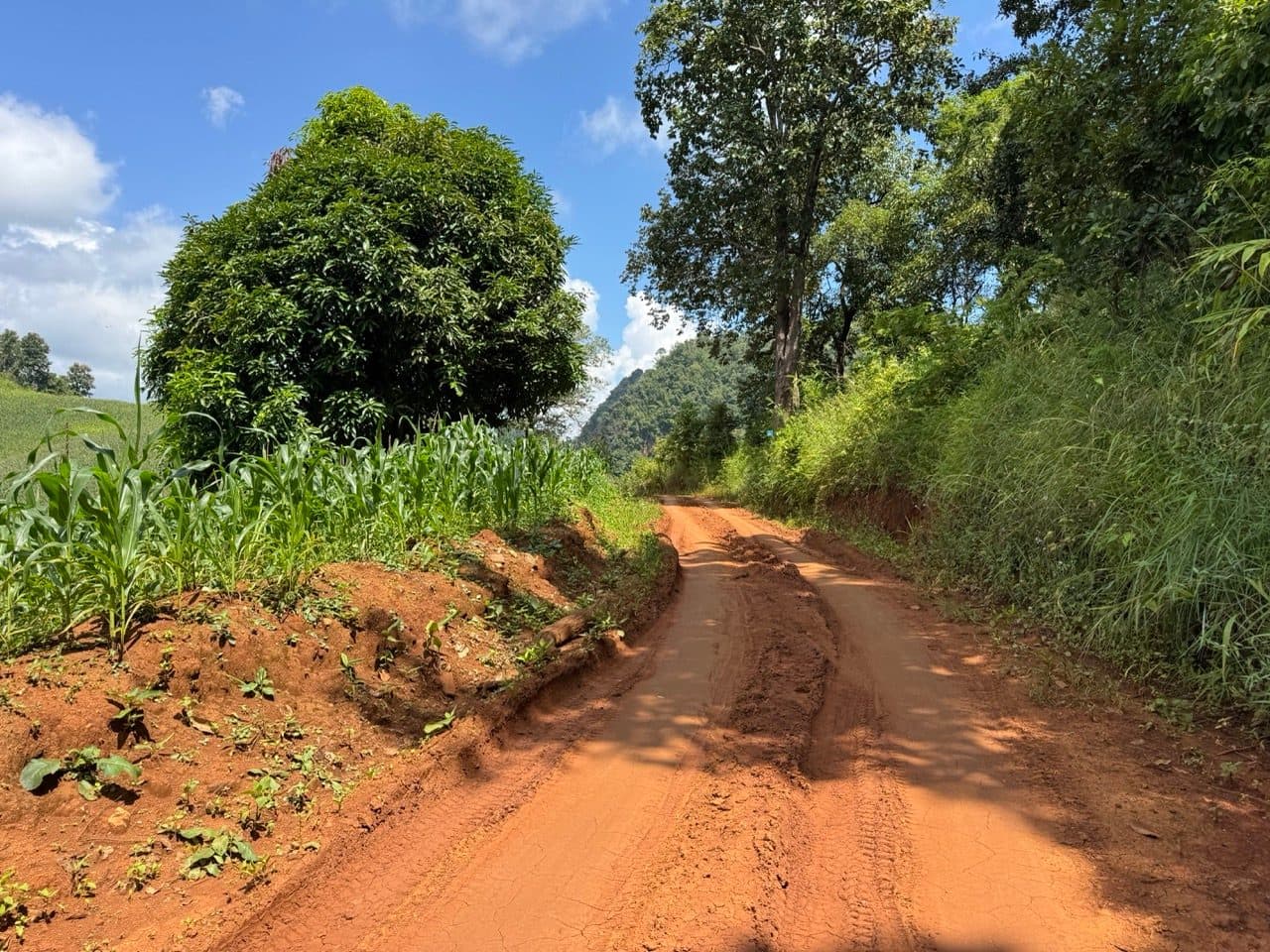
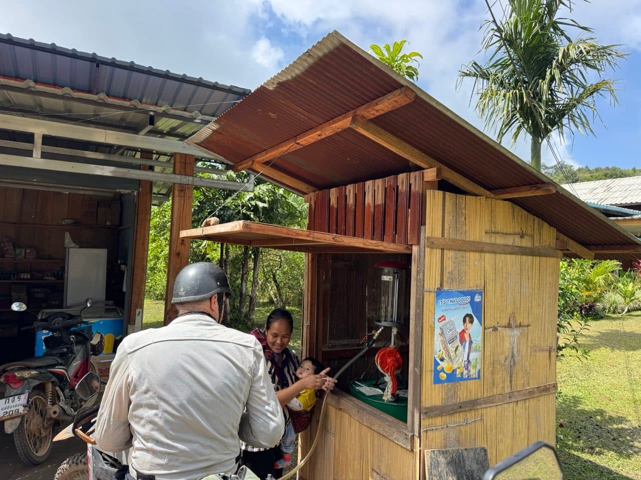
Lunch was at a Lahu village, in a restaurant with a gold gourd-and-rat sculpture in the dining room captioned The Genesis of Lahu. The Pad Kra Pow was outstanding. There is a fuel pump next door, which is worth knowing about, because there is very little else out there.
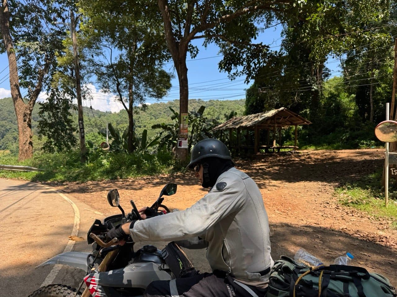
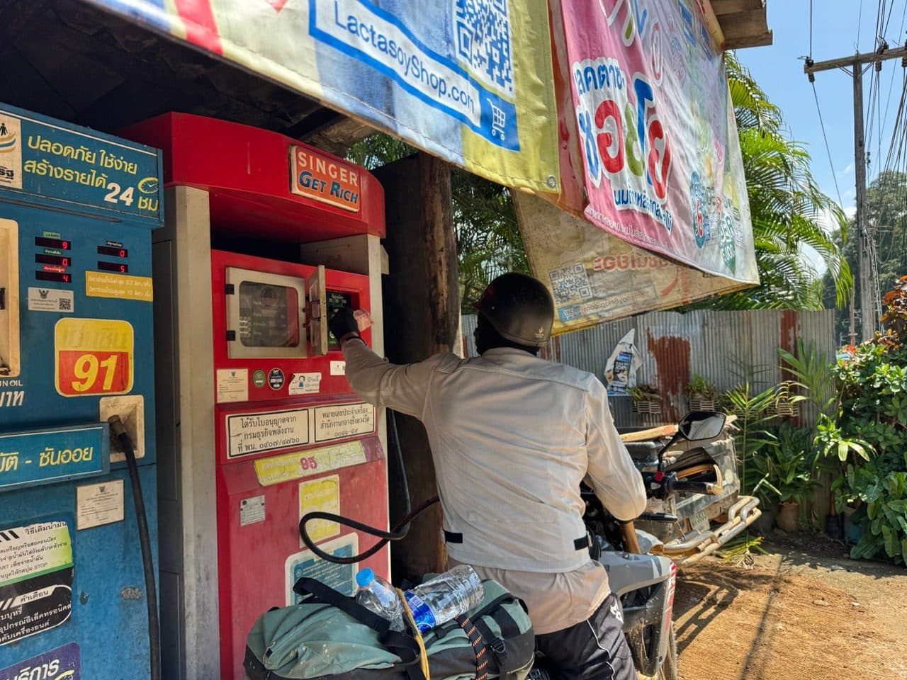
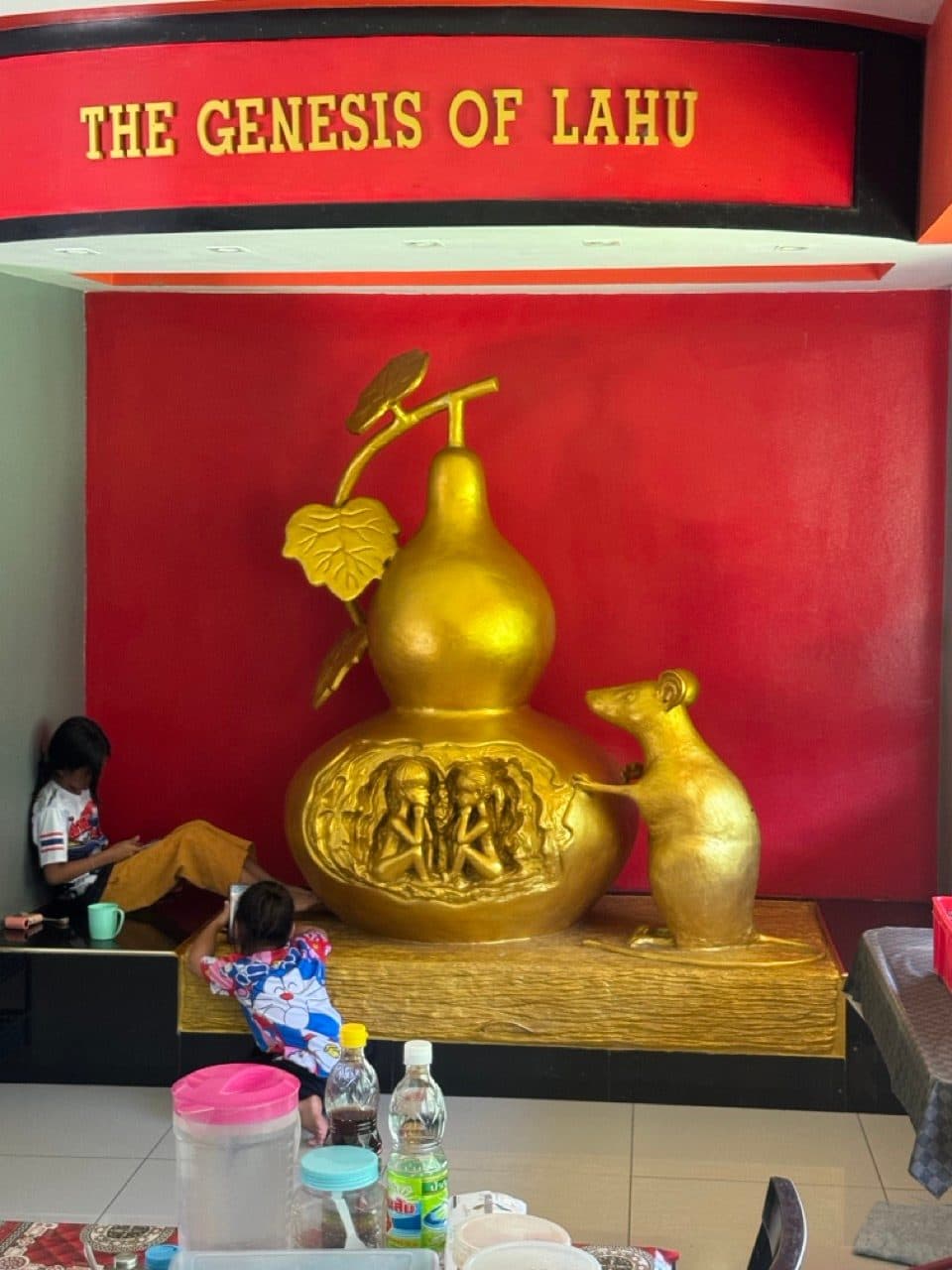
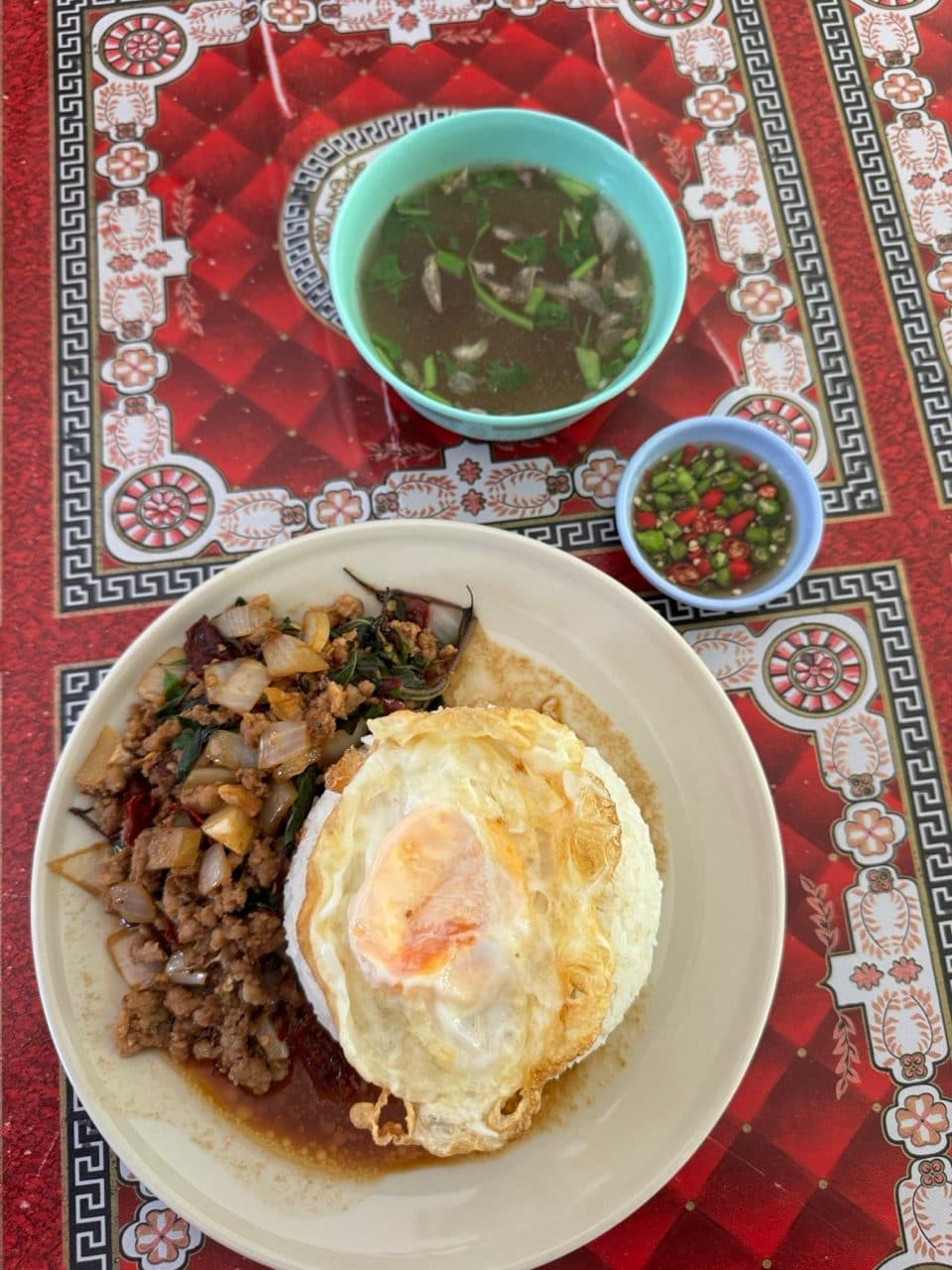
Then straight out again on the second loop of the day, the Ban So Bae loop. It is the gentler of the two — farm roads through corn, a long dirt climb into the hills near the border, villages in the valley bottoms. Nothing whatsoever happened on it, which is sometimes exactly what you want from an afternoon.
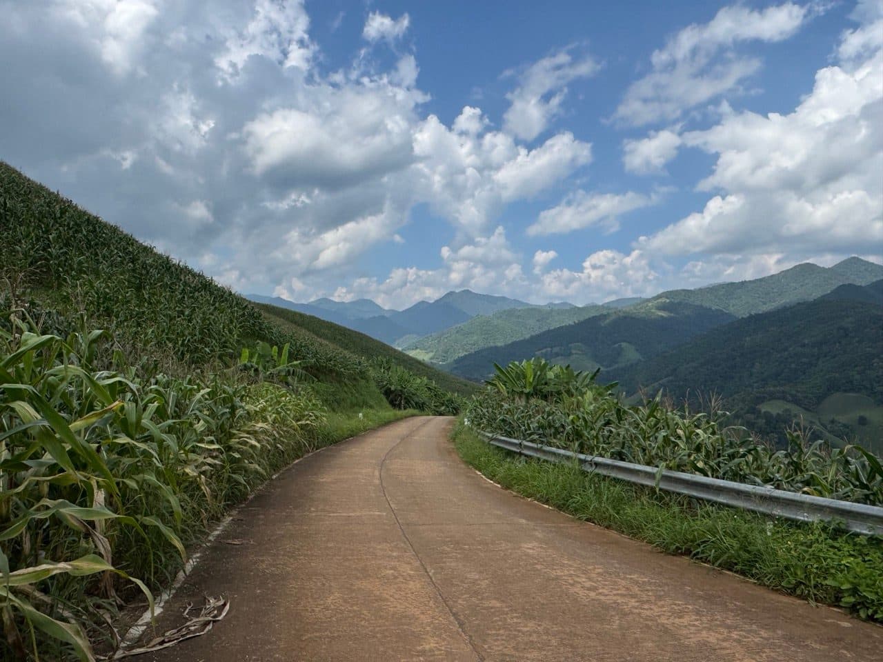
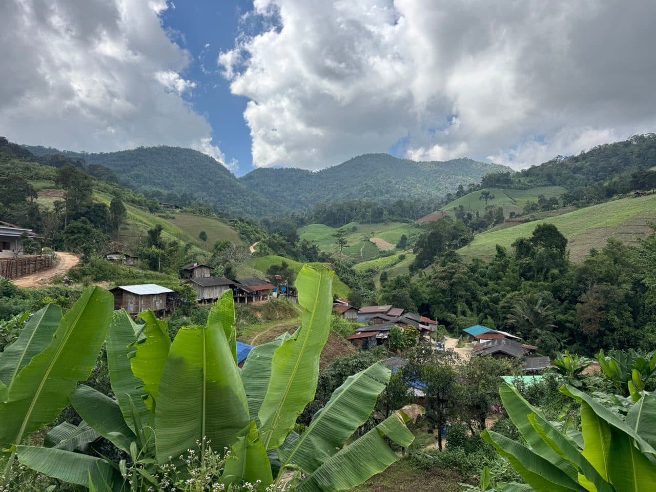
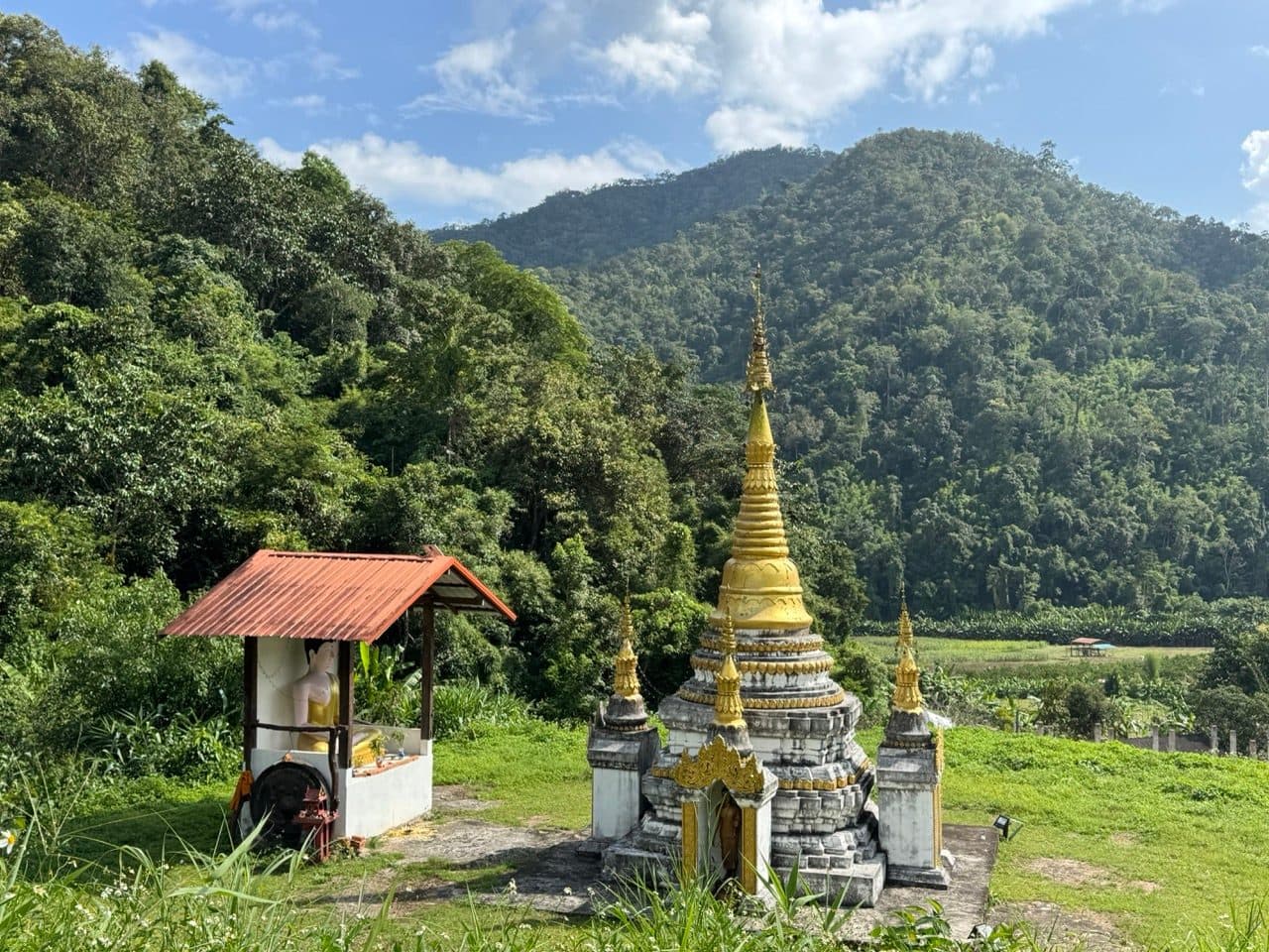
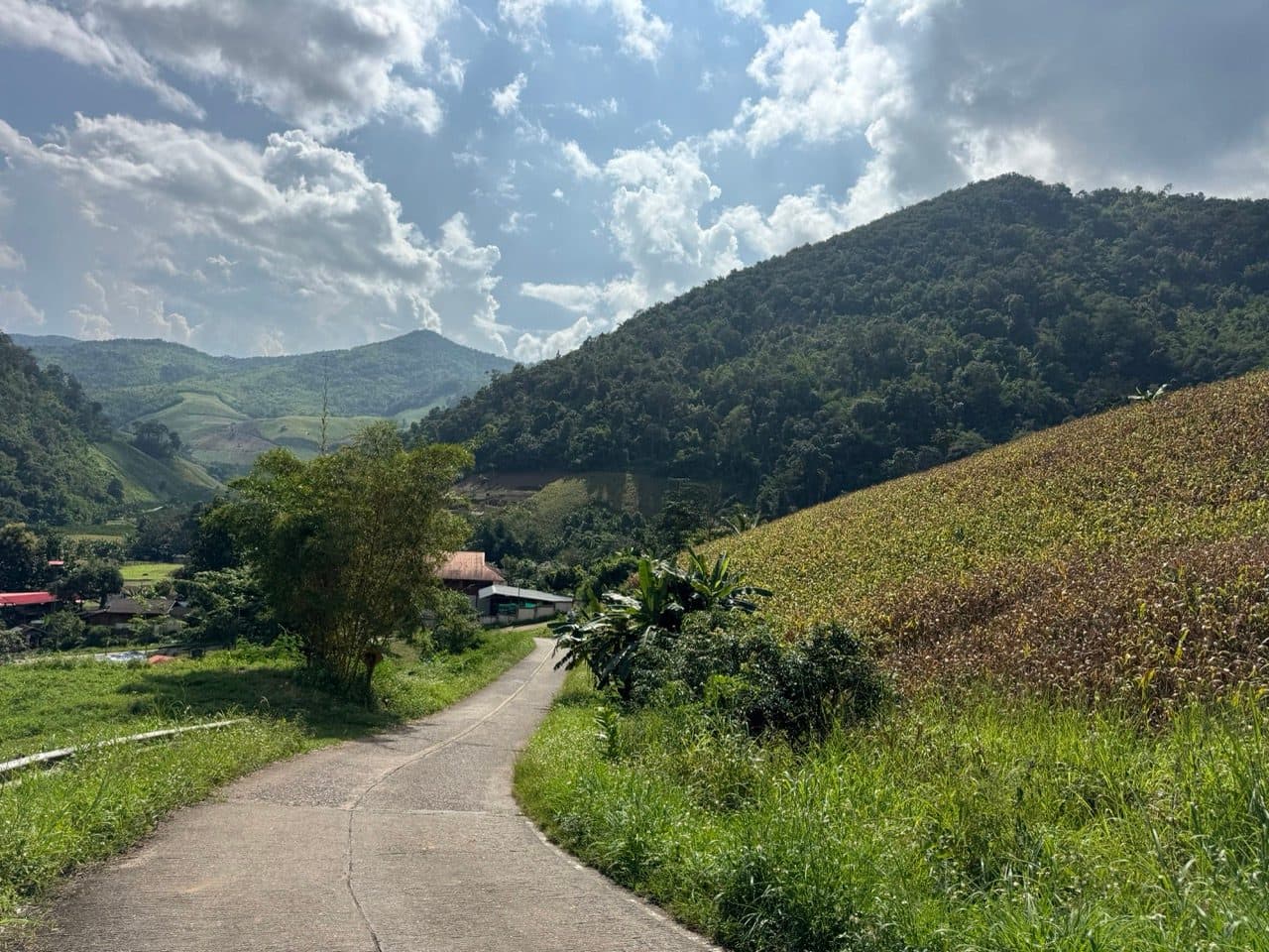
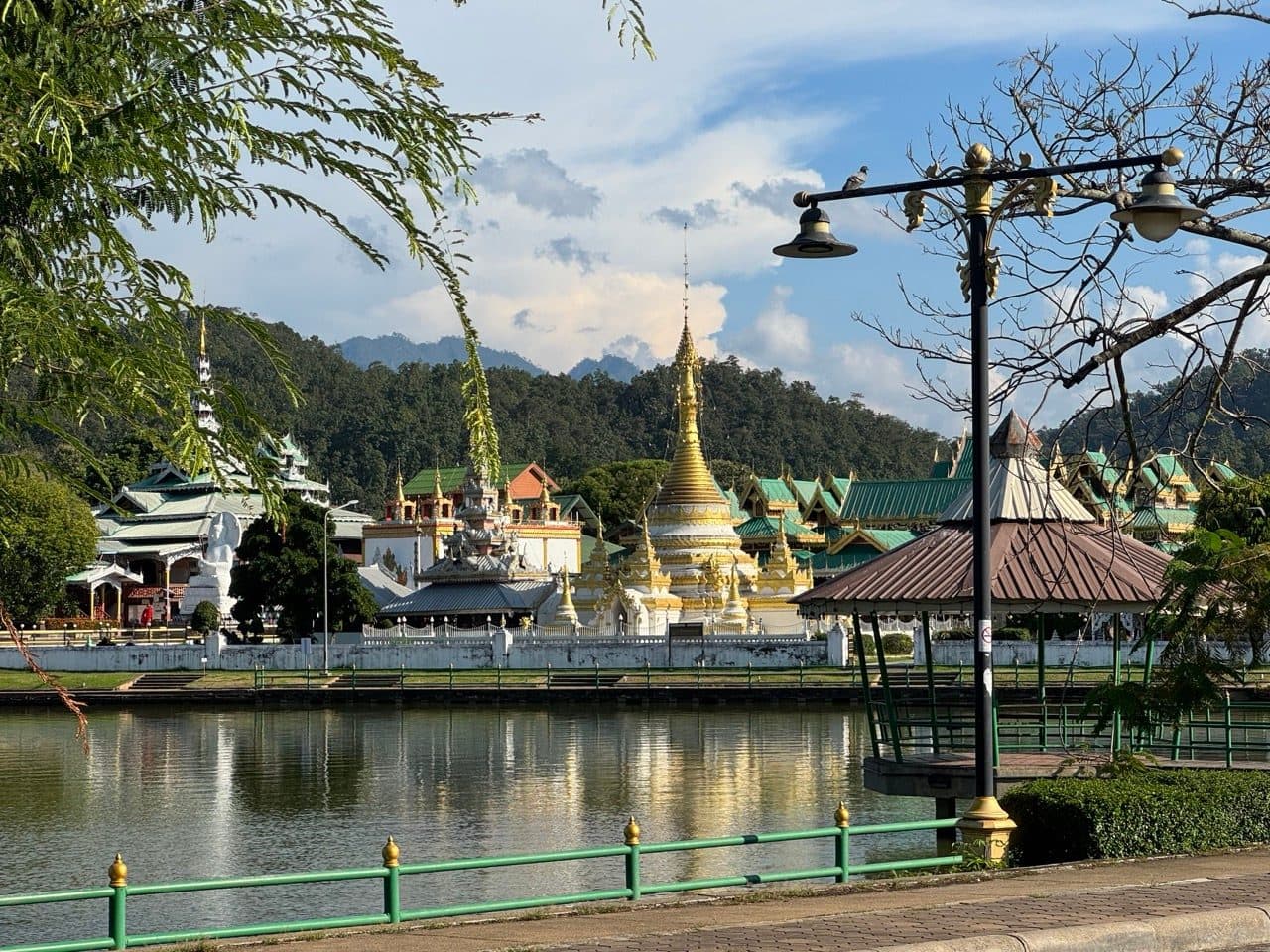
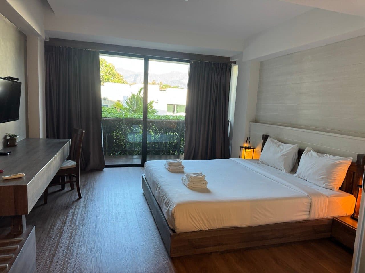
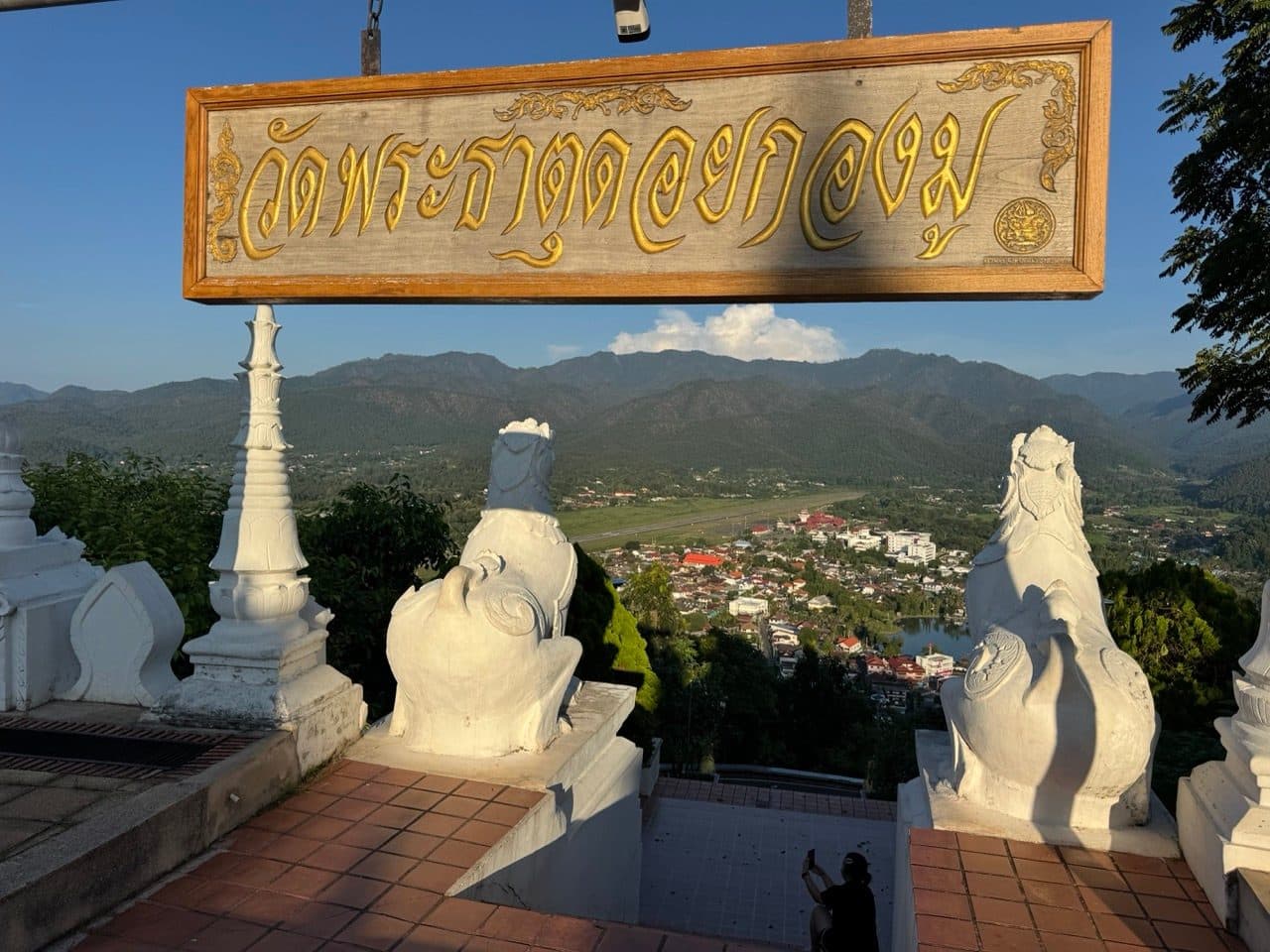
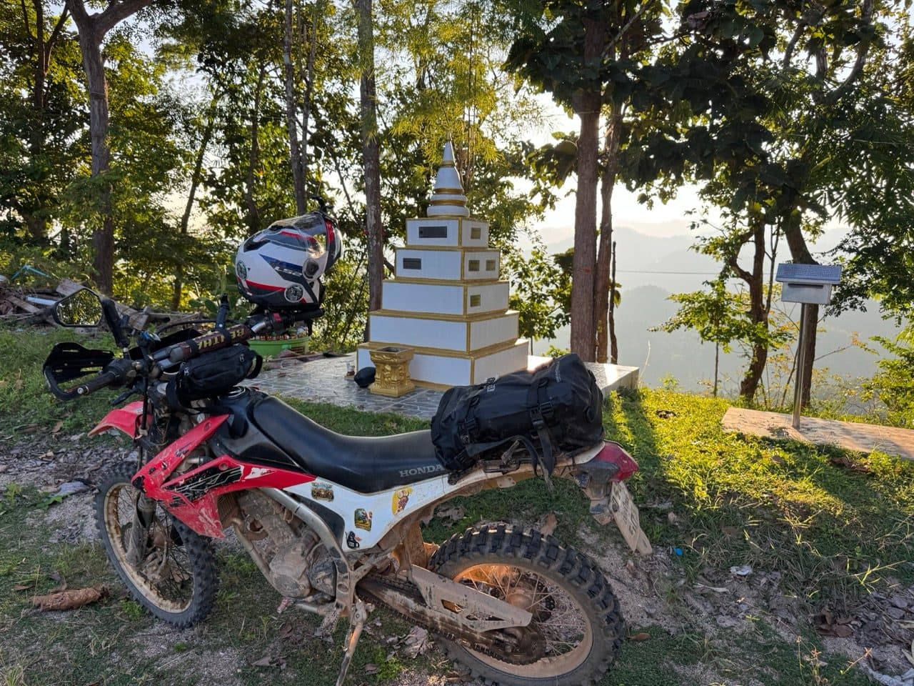
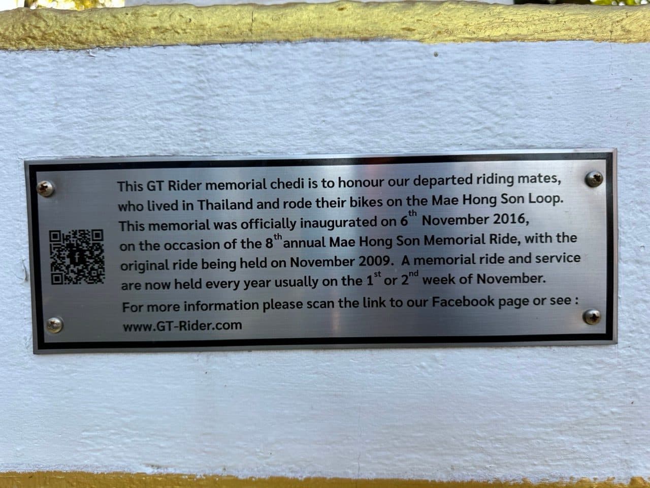
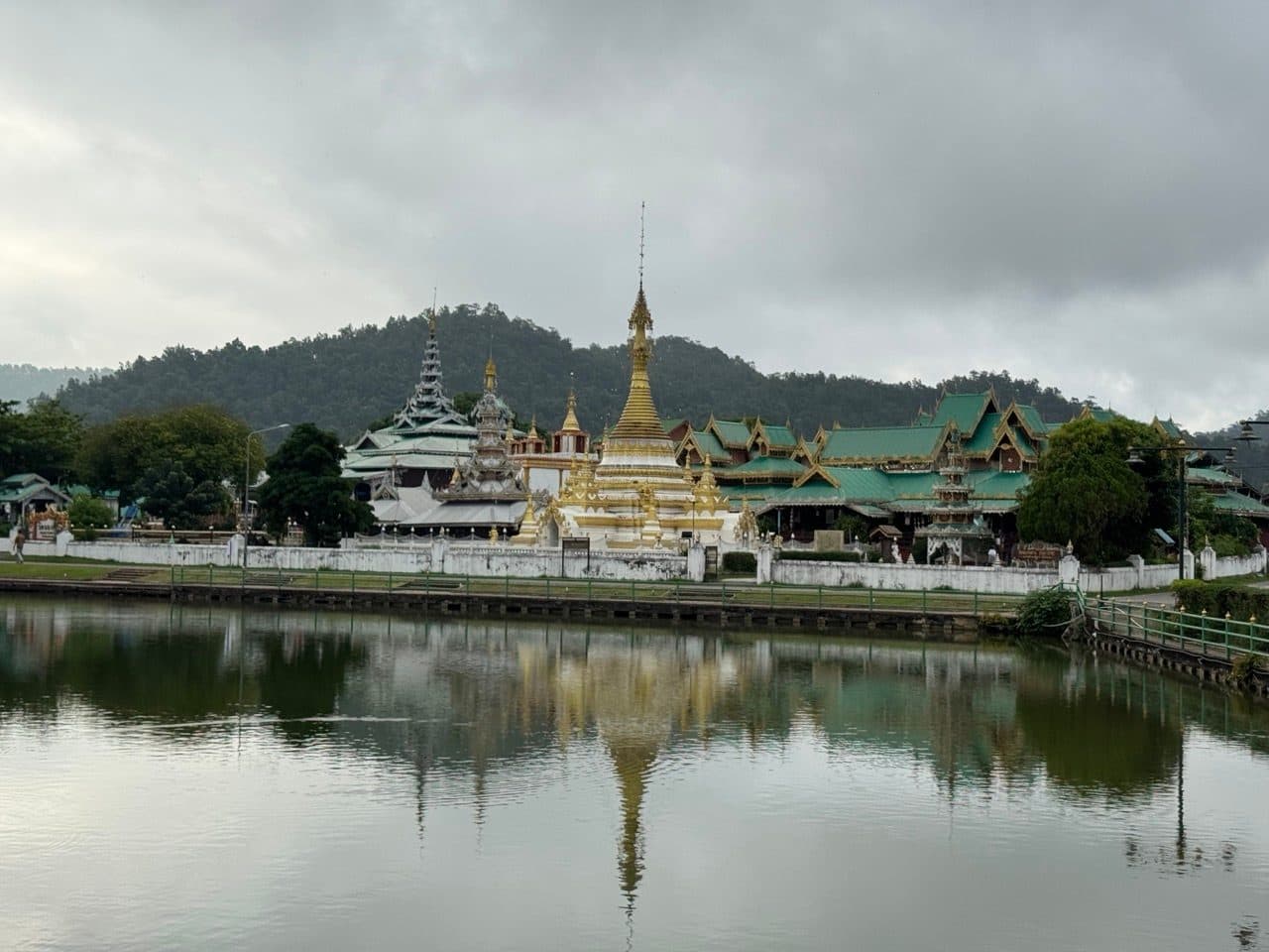
Tarmac from there into Mae Hong Son, about 55 km and also unrecorded. We got in around four, checked into B2, and then rode back out and up Doi Kong Mu for the evening — the white chedis on the hill above town, the whole valley and the airstrip laid out underneath, and the GT Rider memorial chedi for riders who rode this loop and are not around to ride it again. Dinner afterwards at Mr. Joe's House.
Day 3 — The River Run and the Tail of the Elephant (116.1 km)
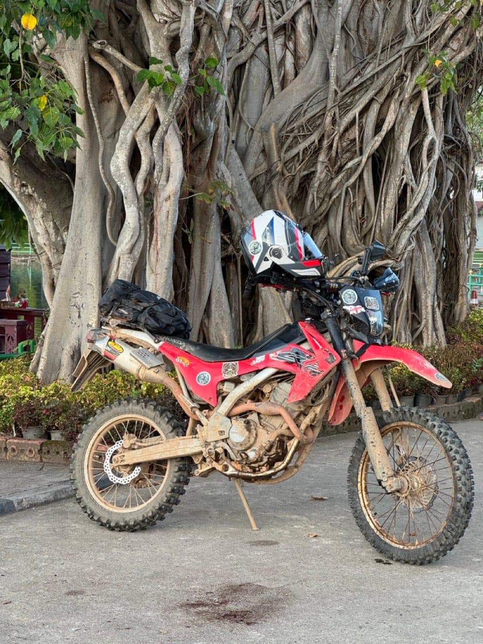
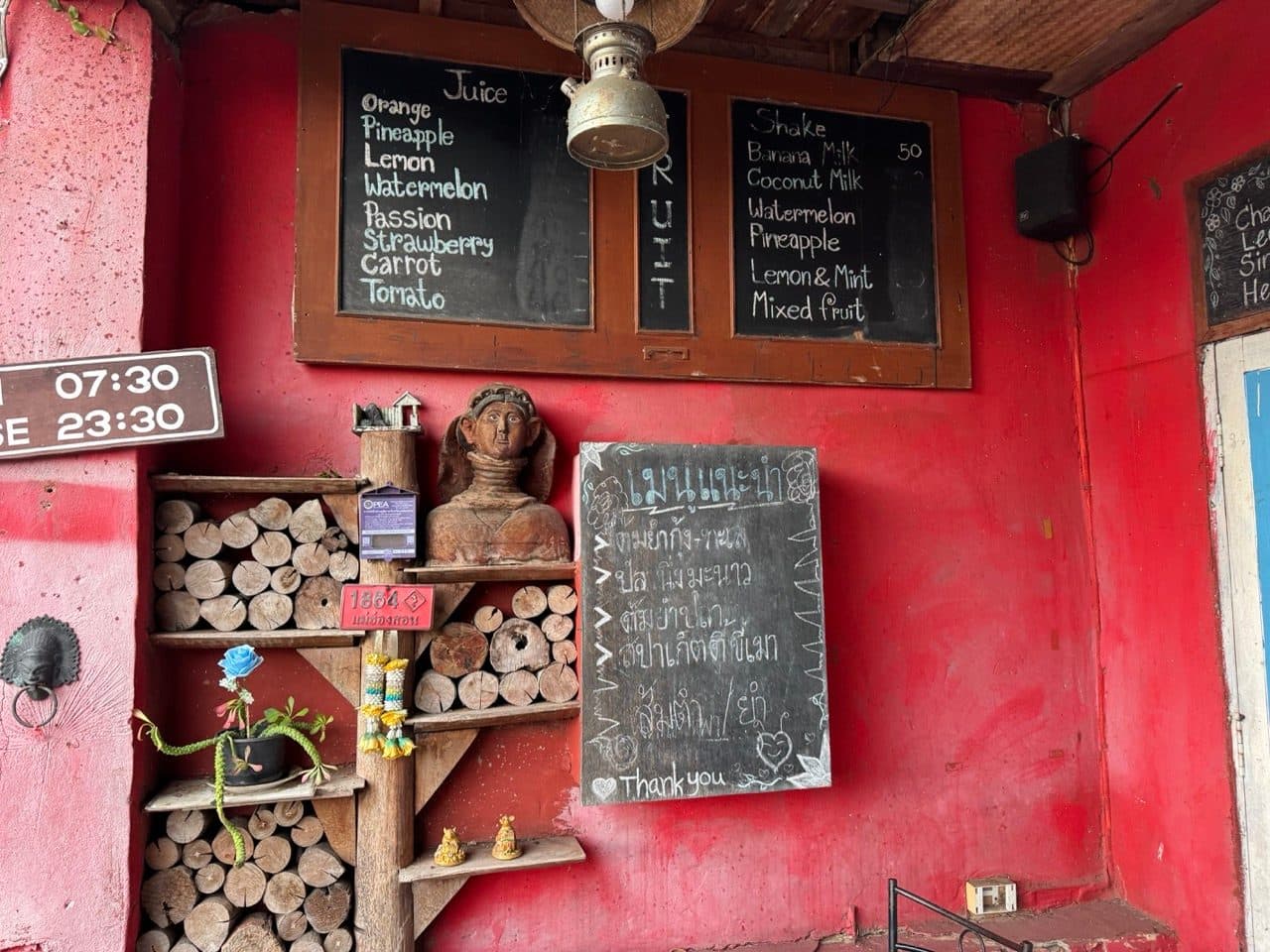
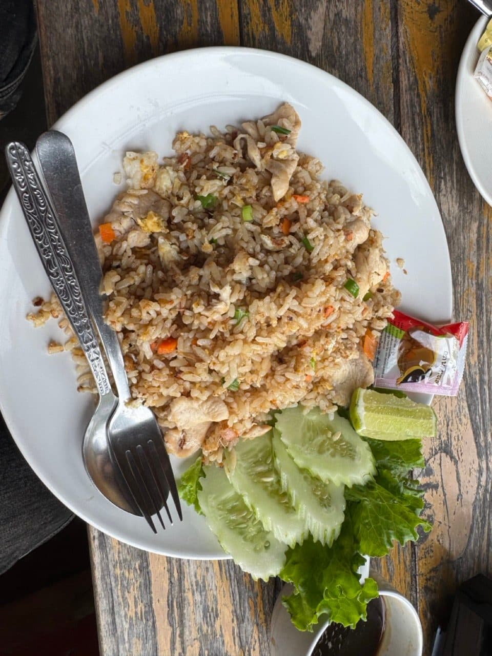
Breakfast at the Coffee Bar Restaurant by the lake, a red-walled wooden place with the juice list chalked up on the wall, and then south.
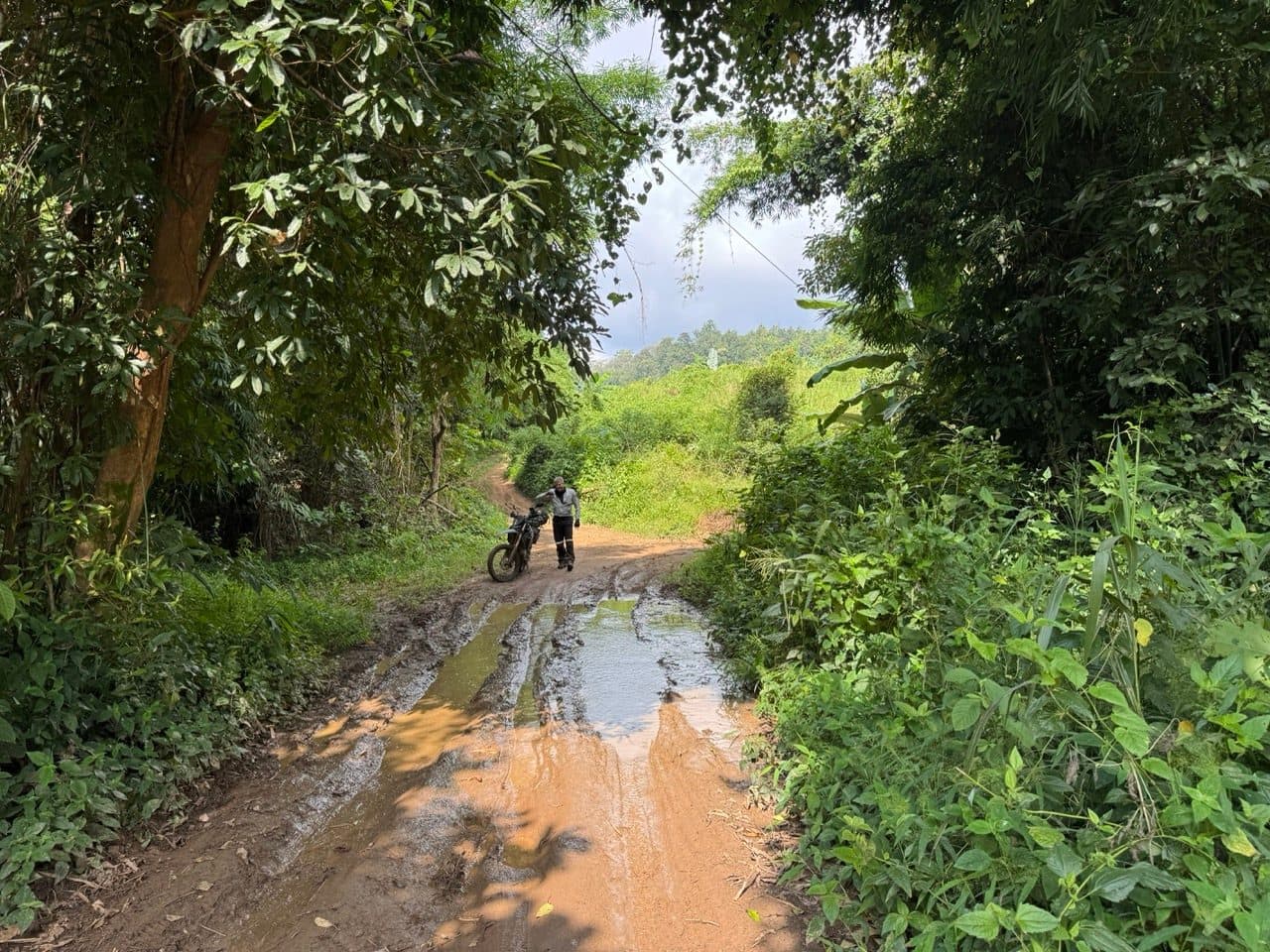
The route south of Mae Hong Son was new to us and we have called it the Mae Hong Son River Run, because that is what it does — it follows water. Fords, villages, paddy, bamboo, and long stretches of dirt that never climb much at all. It drops to 175 m at its lowest, which makes it both the easiest riding of the three days and, we think, the prettiest.
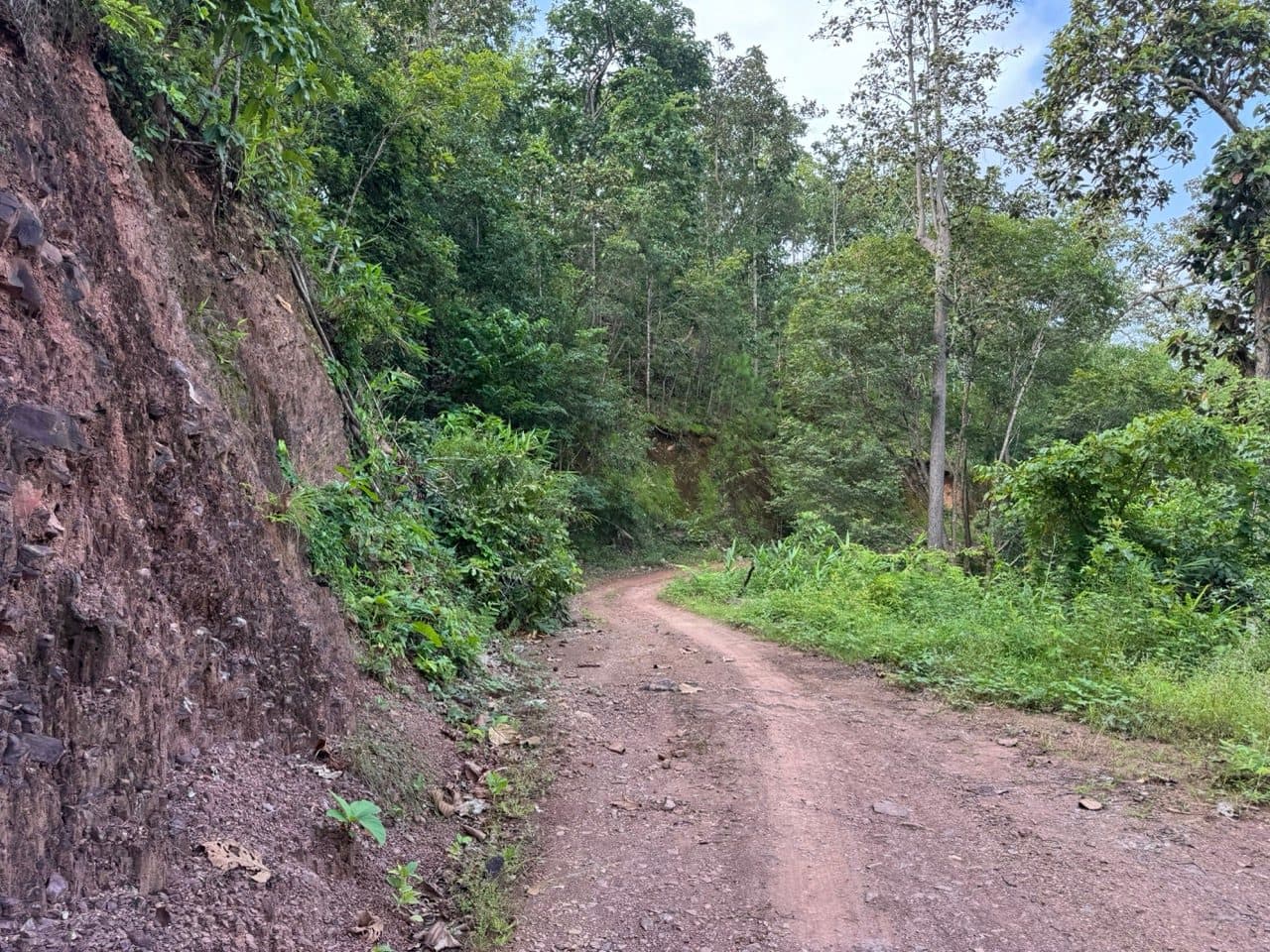
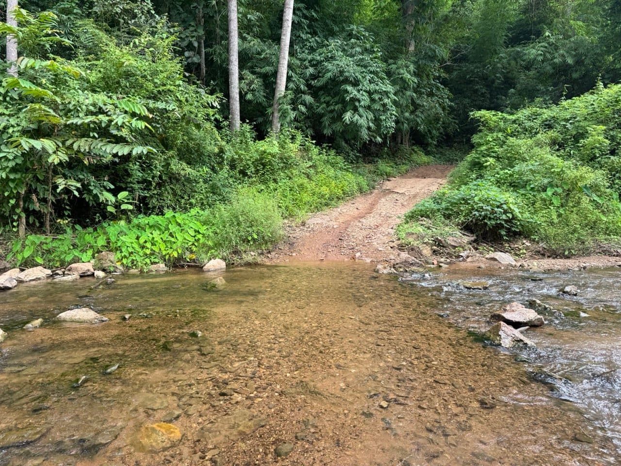

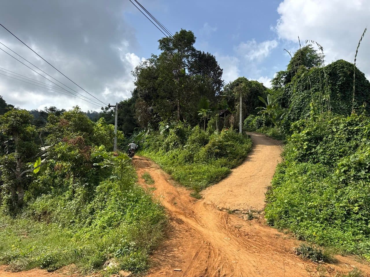
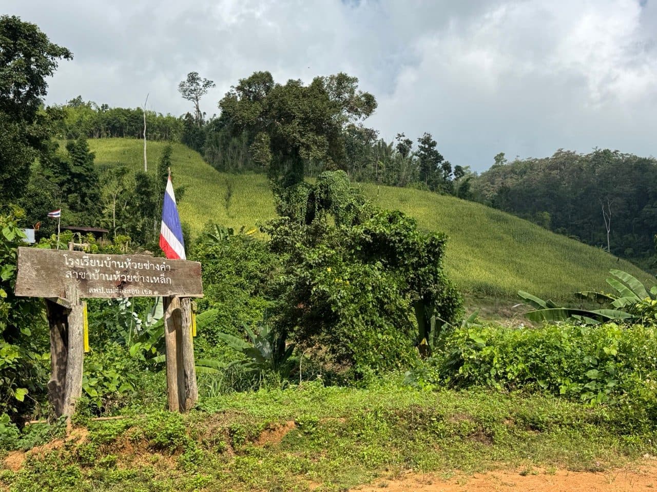
Some of the standing water is deeper than it looks and there is one proper stretch of mud. In October that is a wet patch you ride around. In August it would be the entire character of the trail.
Then we picked up the 108 briefly and went looking for a way east to Ban Wat Chan. The old Elephant Trail has been paved, which is a sentence that has been written about a lot of trails up here lately. What we found instead runs a similar line through much the same country with much the same feel, so we have called it the Tail of the Elephant.
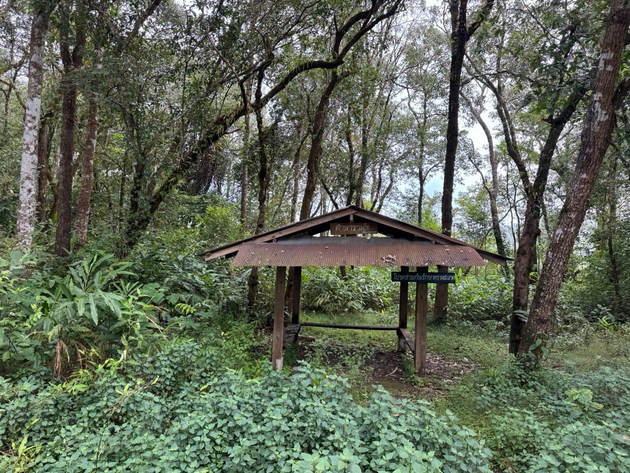
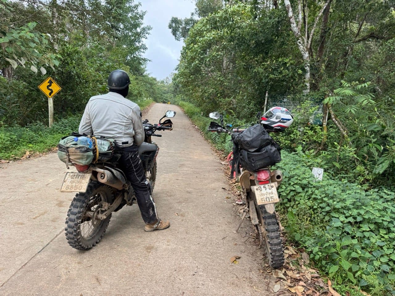
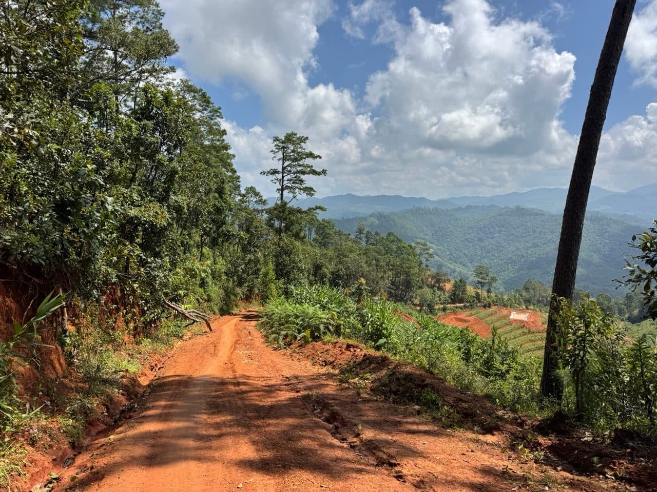
It starts in oak and then turns into the pine forest Ban Wat Chan is known for — orange dirt, tall pines, and long views out across the ridges. There is a plank bridge over a river partway along that photographs far worse than it rides. The timber was solid and we went straight over it without stopping to think about it.
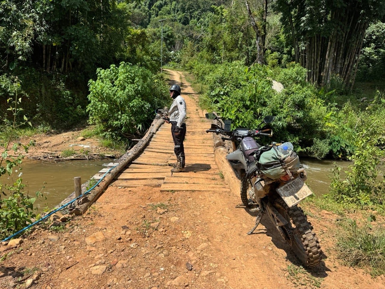
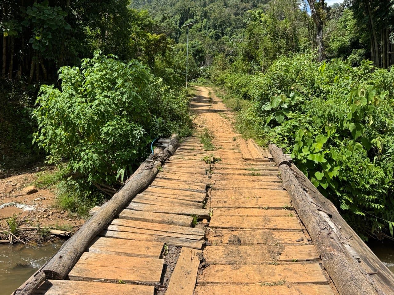
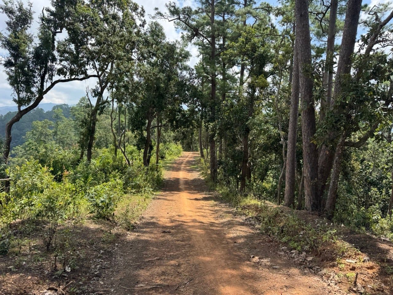
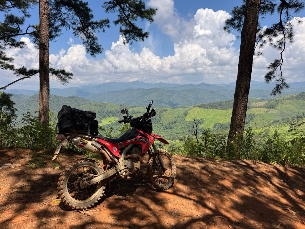
There is one stretch of fresh bulldozed cutting near the end — soft, deep, and the only place on day three where you want to be paying attention. After that it is paddy, bamboo lanes, and then the road home.
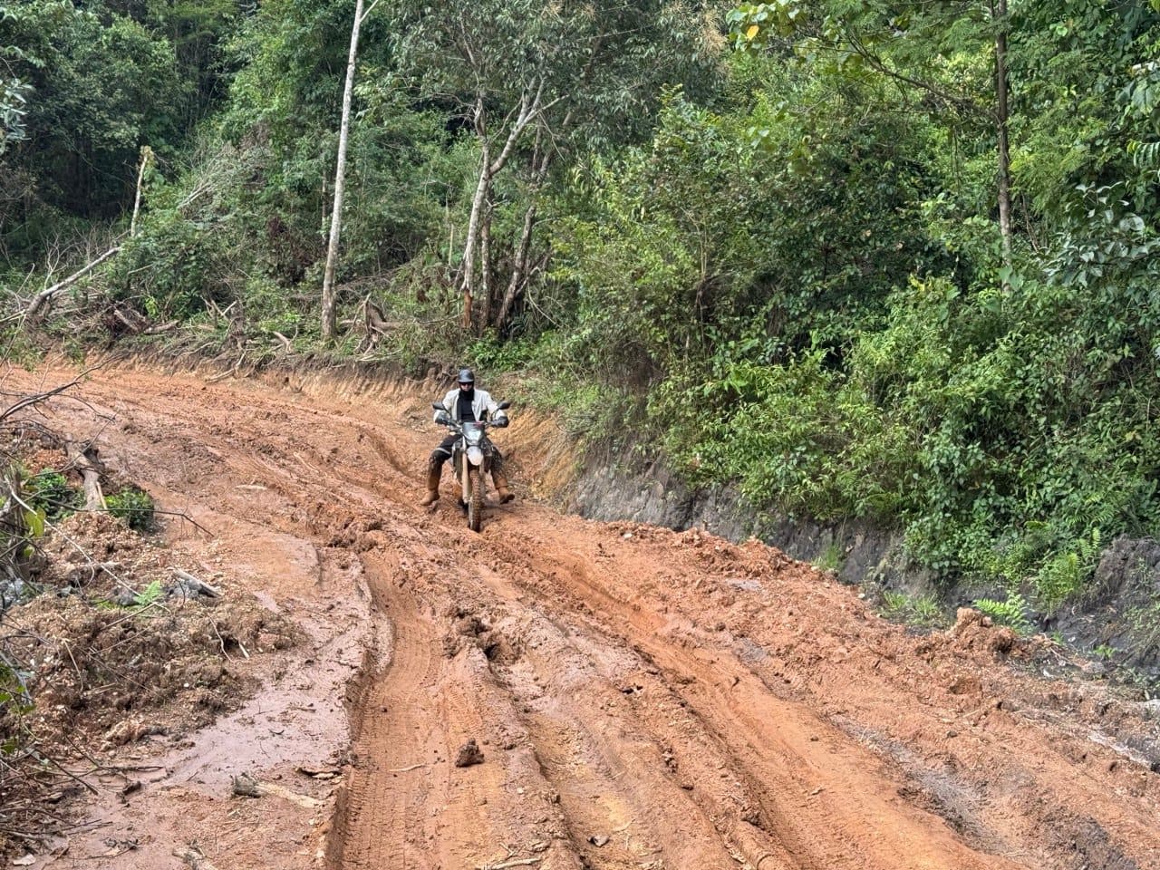
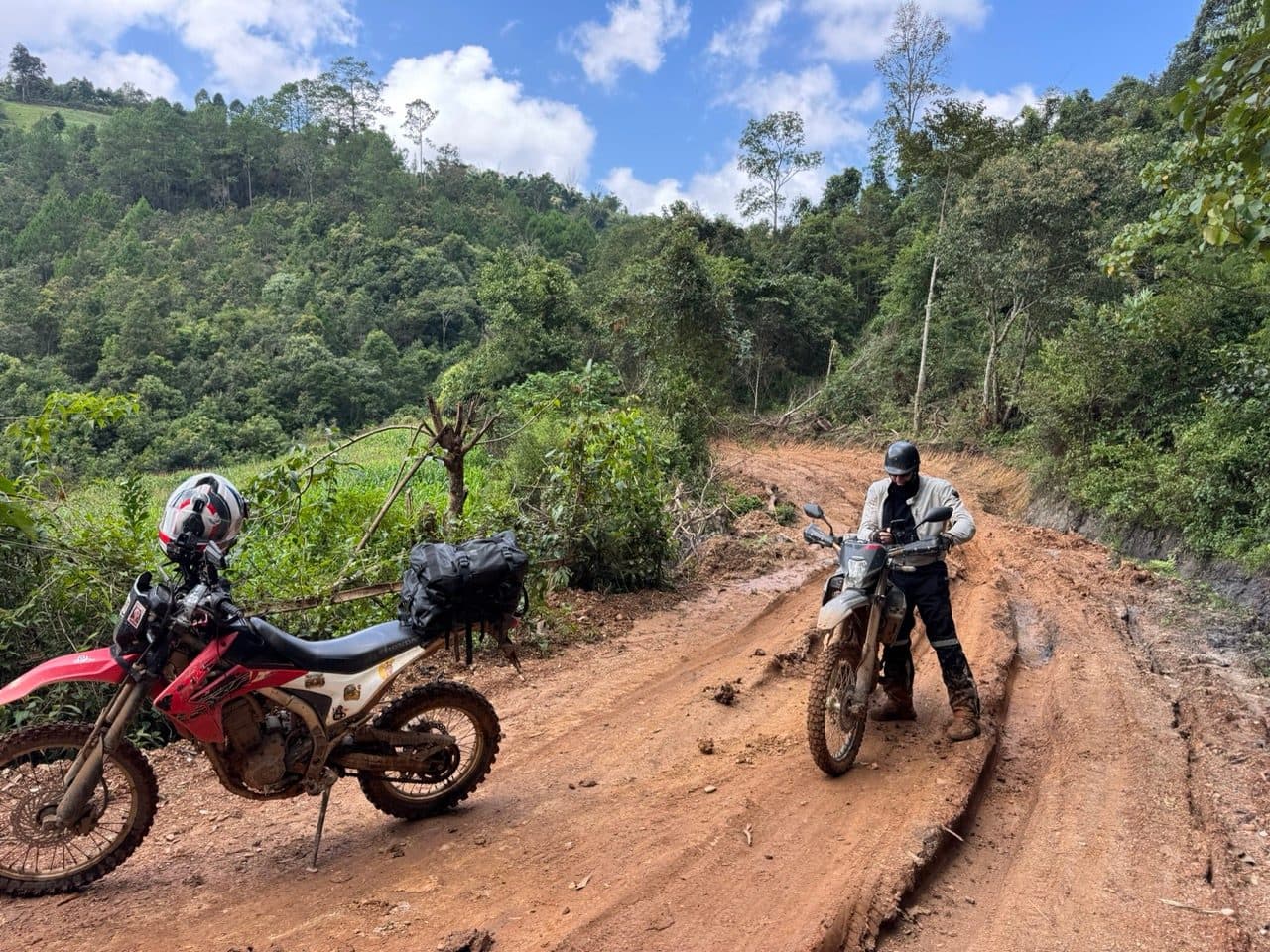
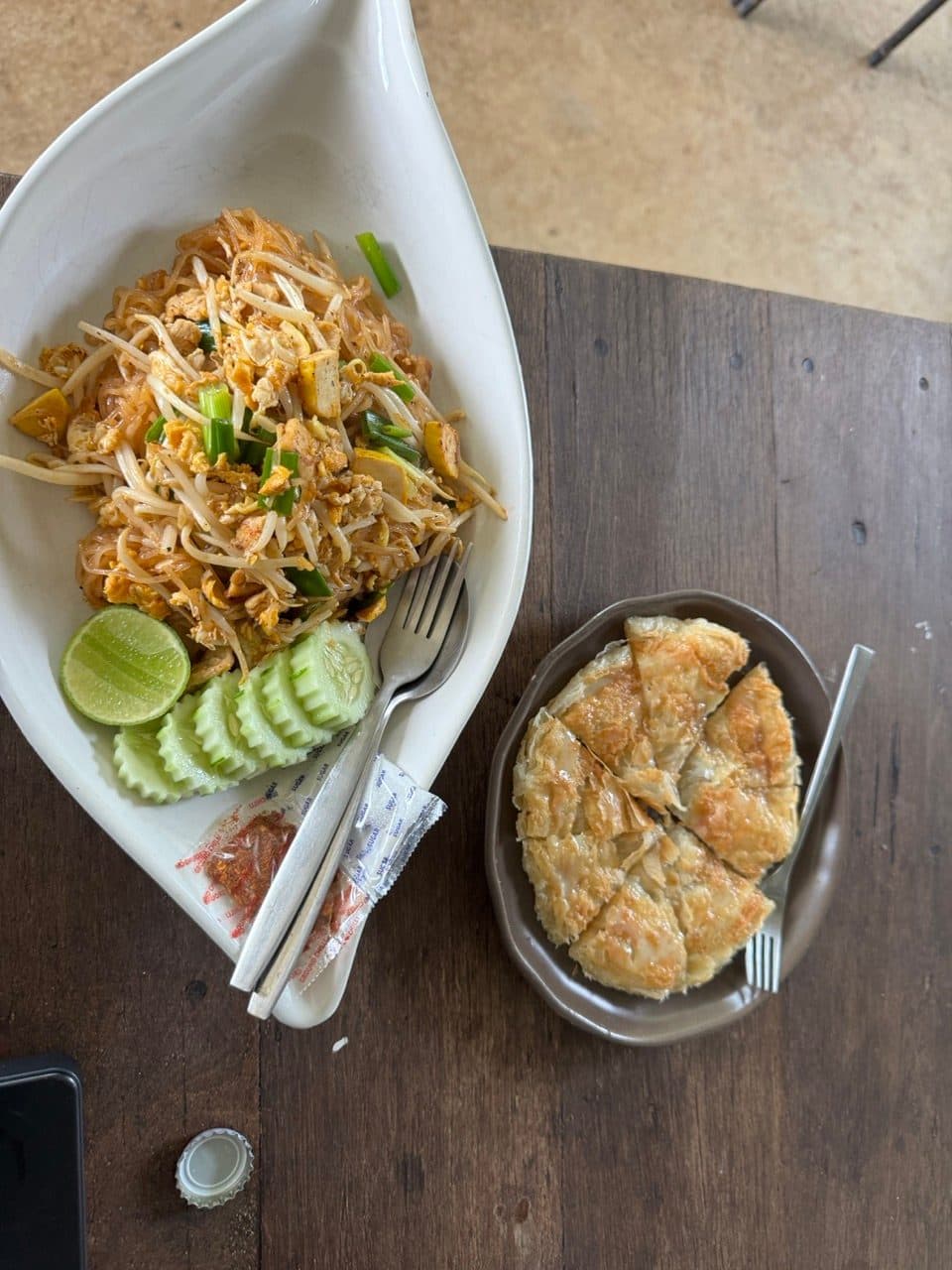
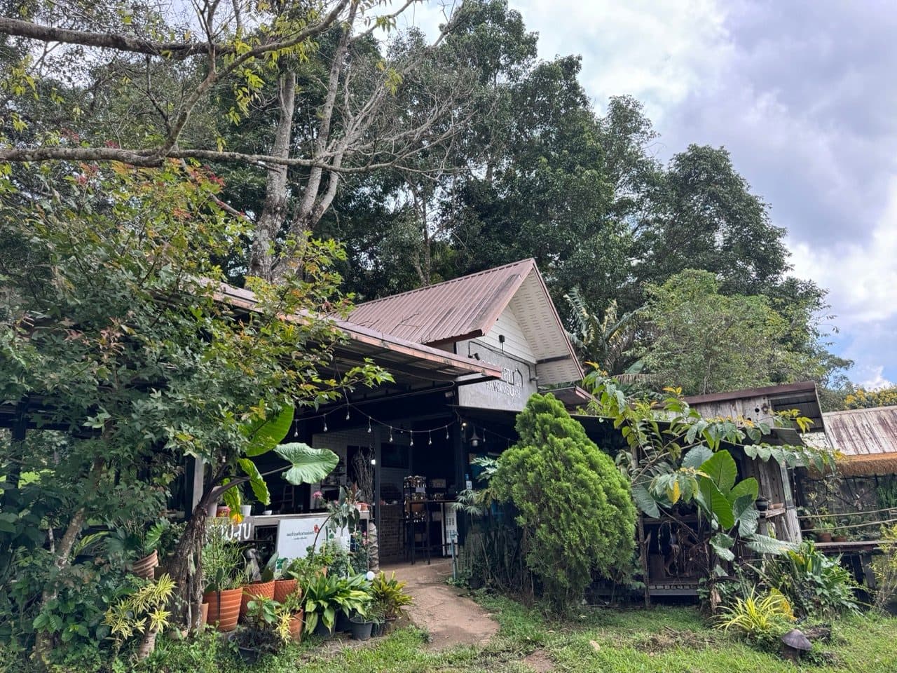
We stopped for a late lunch at khwamsukh cafe on the way back, and got rained on for the first time all weekend somewhere after that. Three days, four trails that were new to us, and one wet jacket is a good return.
If You're Thinking About Doing This
- ·Leave Chiang Mai in daylight. The 1095 after dark on a standard CRF headlight is the one thing about this trip we would actually change.
- ·Fuel in Pai and again before the border loops. There is a village pump by the Lahu village lunch stop and not a great deal else out there.
- ·Carry your passport. There is a manned checkpoint about 20 km from the border and they will ask where you are going.
- ·Do not plan on the border road itself. It is a military road, we were turned around at it, and the Loi Tai Leng road is the way through.
- ·Knobblies or decent dual-sport tyres. Most of this is easy on anything, but the roadworks on day two and the cutting on day three are soft and deep.
- ·Early October is the sweet spot — everything green, corn still standing, and dry enough. A month earlier and the clay sections are a different ride.
- ·Soft bags on a rear rack are plenty. We ran dry bags and nothing else.
- ·Phone signal is patchy to absent across both border loops. Download your maps before you leave Pai.
FAQ
- How hard is this ride?
- Easy to moderate in the dry. Most of the dirt is hard-packed clay, concrete farm lanes and shallow fords that any competent rider on the right bike will enjoy rather than survive. Two sections lift it: a few hundred metres of churned roadworks on day two, and a stretch of fresh bulldozed cutting on day three. Wet, the whole trip is harder — the clay here goes greasy quickly.
- What bike do you need?
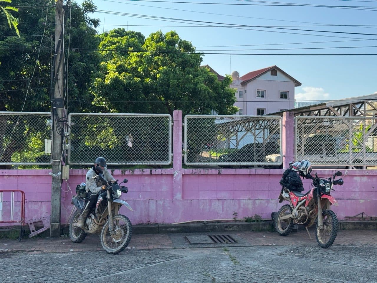
- We rode a Honda CRF250L and a CRF300L, which is about right. A dual-sport with proper tyres will do it. A scooter or a road bike will not — there are fords, deep ruts and a plank bridge.
- Is it safe to ride this close to the Myanmar border?
- The checkpoints are routine and the guards we met were friendly. You will be asked where you are going. You are not permitted on the military road along the border itself, and you should not attempt to cross. Being turned around is a normal part of riding up here, not a sign anything is wrong.
- How many days do you need?
- Three works well. Two is possible if you ride to Pai on the Friday evening as we did, but you would have to drop one of the four trails.
- When is the best time of year?
- October through February. We rode in early October, right at the end of the wet — everything green, the corn still up, dry enough underfoot, and nobody else on the trails.
- Is the Elephant Trail still worth riding?
- The old Elephant Trail has been paved. The Tail of the Elephant is what we found instead, running a similar line through the same pine country to Ban Wat Chan, and it is still dirt.
GPX Downloads
3 files · 1.8 MB
All four trails are on the routes page as standalone rides, with the GPX and the detail.