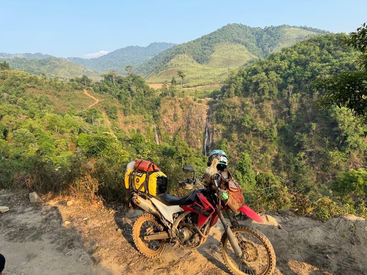
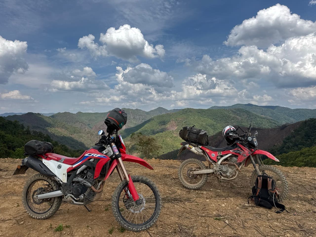
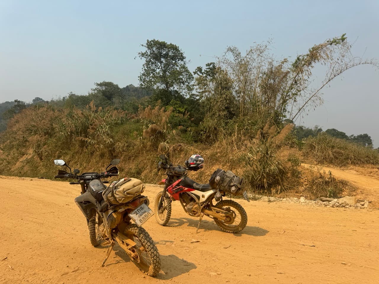
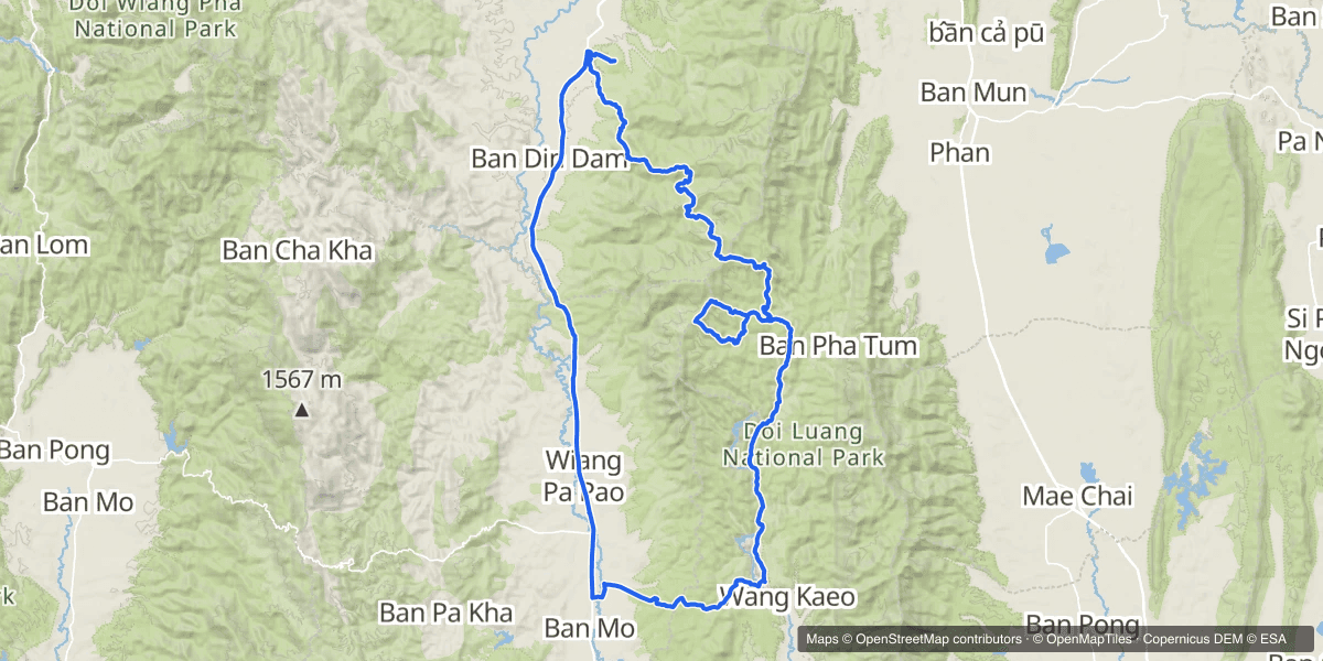
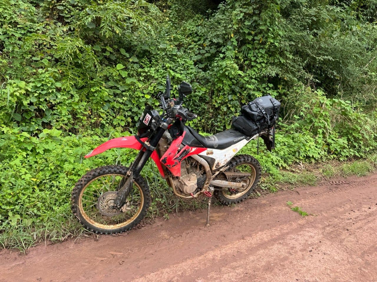
Eleven in the morning is a late start by most standards, but it had rained most of the night and I was in no rush to be the first thing to touch the clay. The loop is 129 km out of Pa Ngio — up the east side of Doi Luang, back down the west — and it is farm road almost the whole way. One CRF250L, nobody to wait for, and a sky that looked like it had not finished.
| Quick Facts | |
|---|---|
| Date | Sunday 11 October 2026 |
| Distance | 129.3 km |
| Time | 11:02 to 16:00 — about 3 h 50 m actually moving |
| Elevation | 476 m to 1,171 m, around 3,224 m of climbing |
| Riders | 1 — a Honda CRF250L |
| Season | End of green season (October) |
| Surface | Graded farm road, red clay, a little forest singletrack |
| Water crossings | Several, plus one plank bridge |
| Weather | Overnight rain, cloud all morning, clearing after lunch |
| Notable | Tham Sam Na, a tree down at km 56, Wat Saeng Kaeo Phothiyan |
Out of Pa Ngio
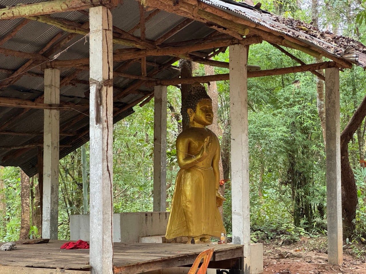
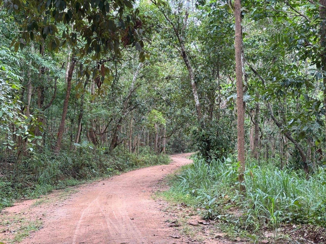
It starts and finishes in the same place, which is convenient when you have driven up from Chiang Mai and want to leave the truck somewhere you will recognise later. Four kilometres in there is a gilded Buddha under a tin roof in the trees, a red cloth folded on the platform in front of it. After that the forest road simply runs — hard packed, wide enough for a pickup, dappled the entire way.
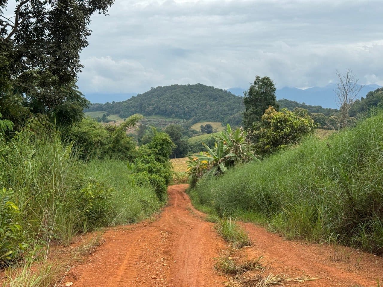
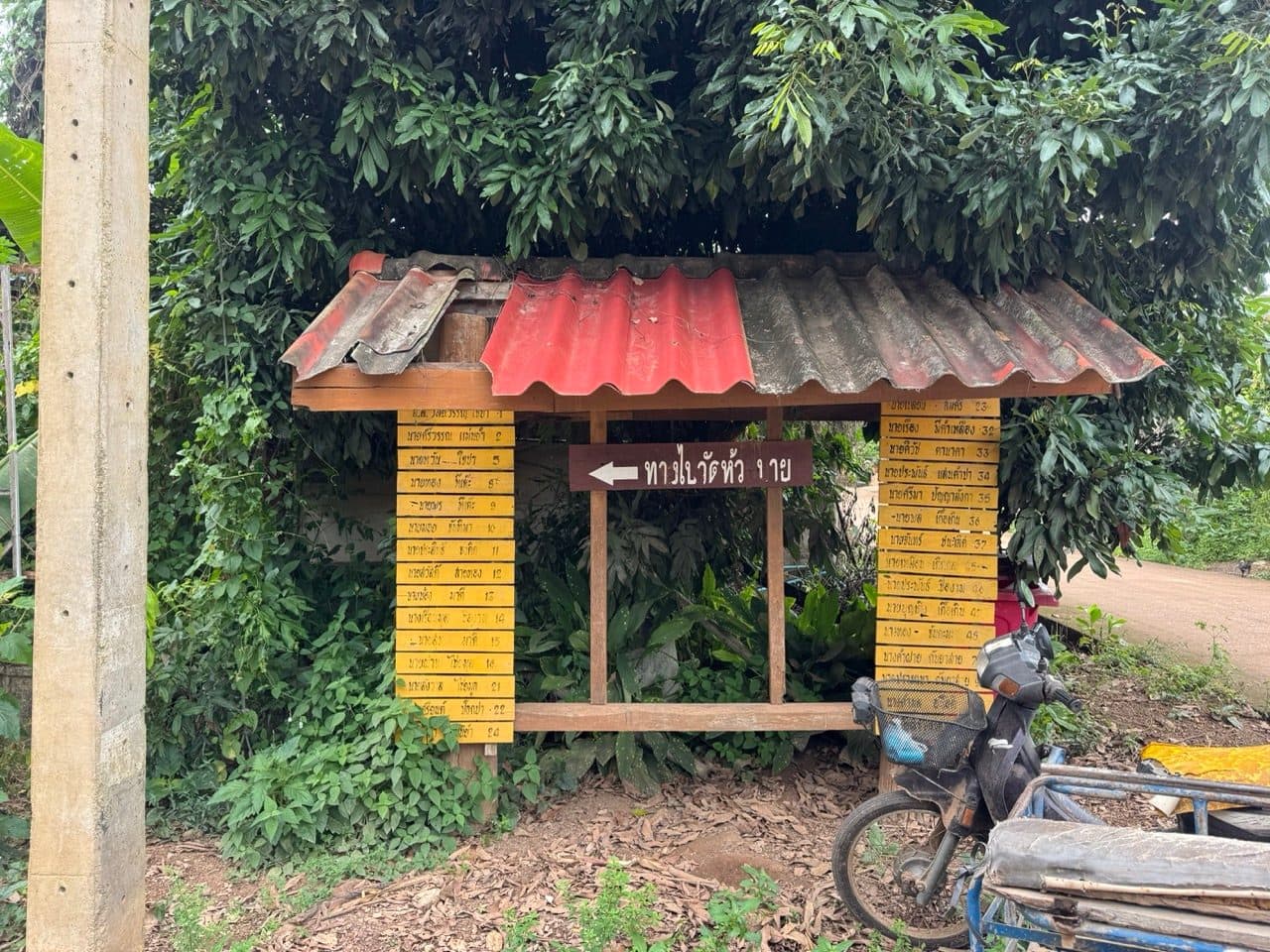
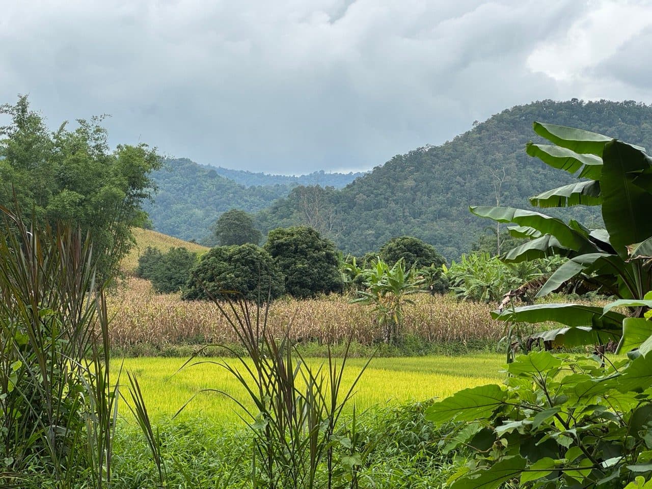
By ten kilometres the trees open up and you can see exactly where the day is going: ridgelines stacked away to the north, every one of them with cloud sitting on it. At fifteen there is a signboard with about thirty yellow plates nailed to it, each one a village and a number. I could not have placed a single one of them, which felt like the correct way to begin.
Wet clay, and the first crossings
The first third of the loop was still carrying the night before. Not deep — this is graded farm road, not a rut — but every low spot held standing water the same colour as the road, and the clay had that greasy top skin that starts moving about a second after you have committed to something. It is the kind of surface that is entirely fine as long as you stop asking it questions.
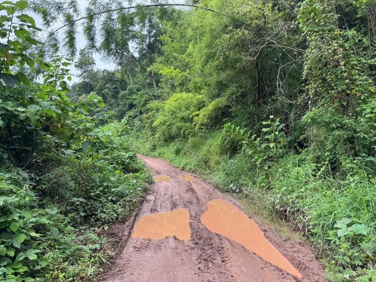
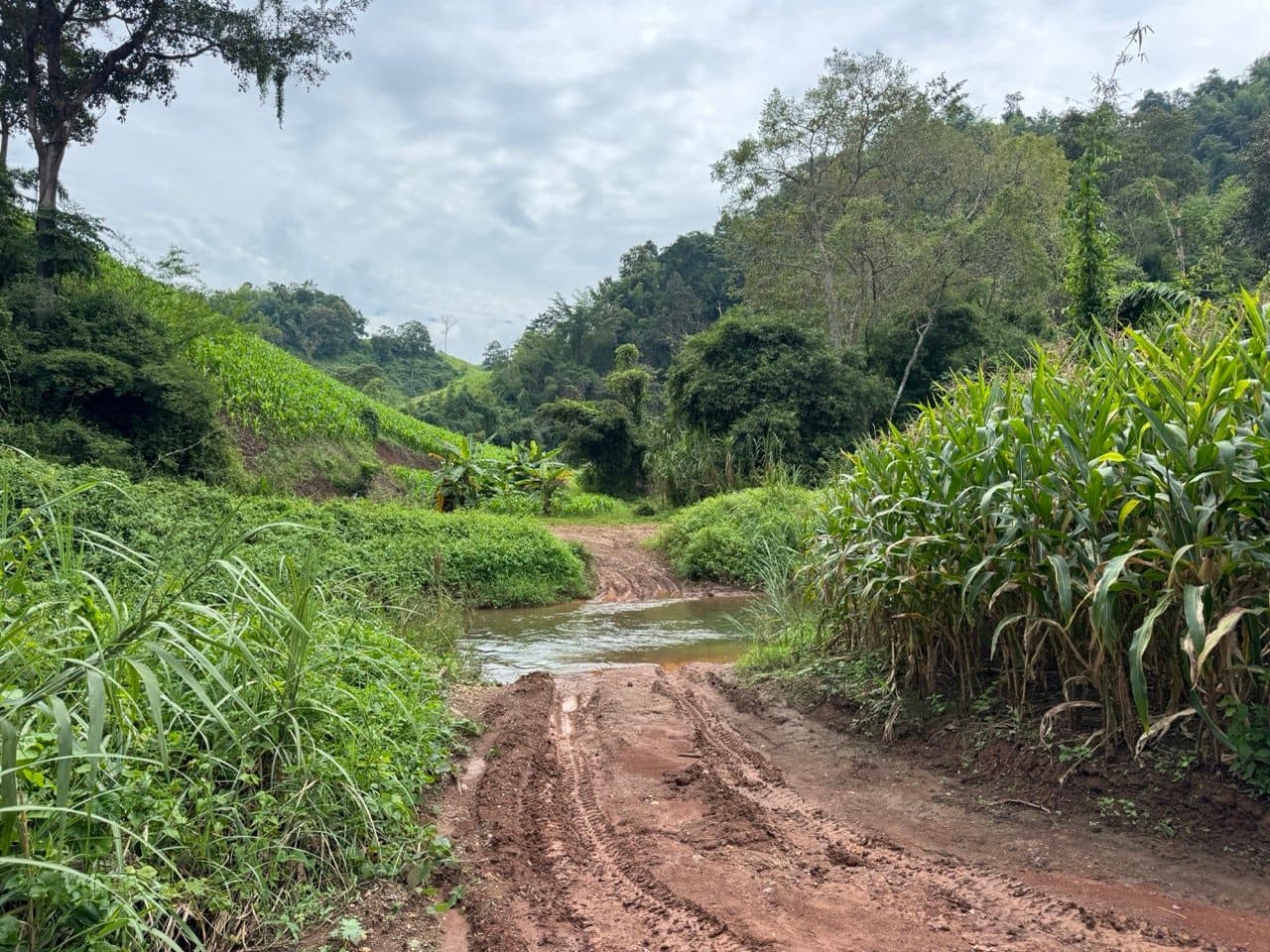
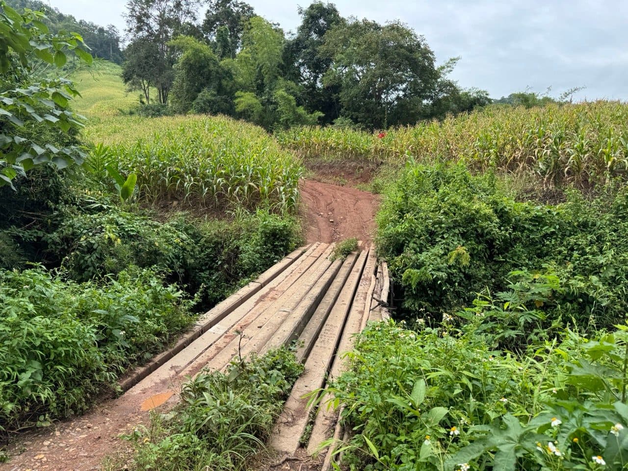
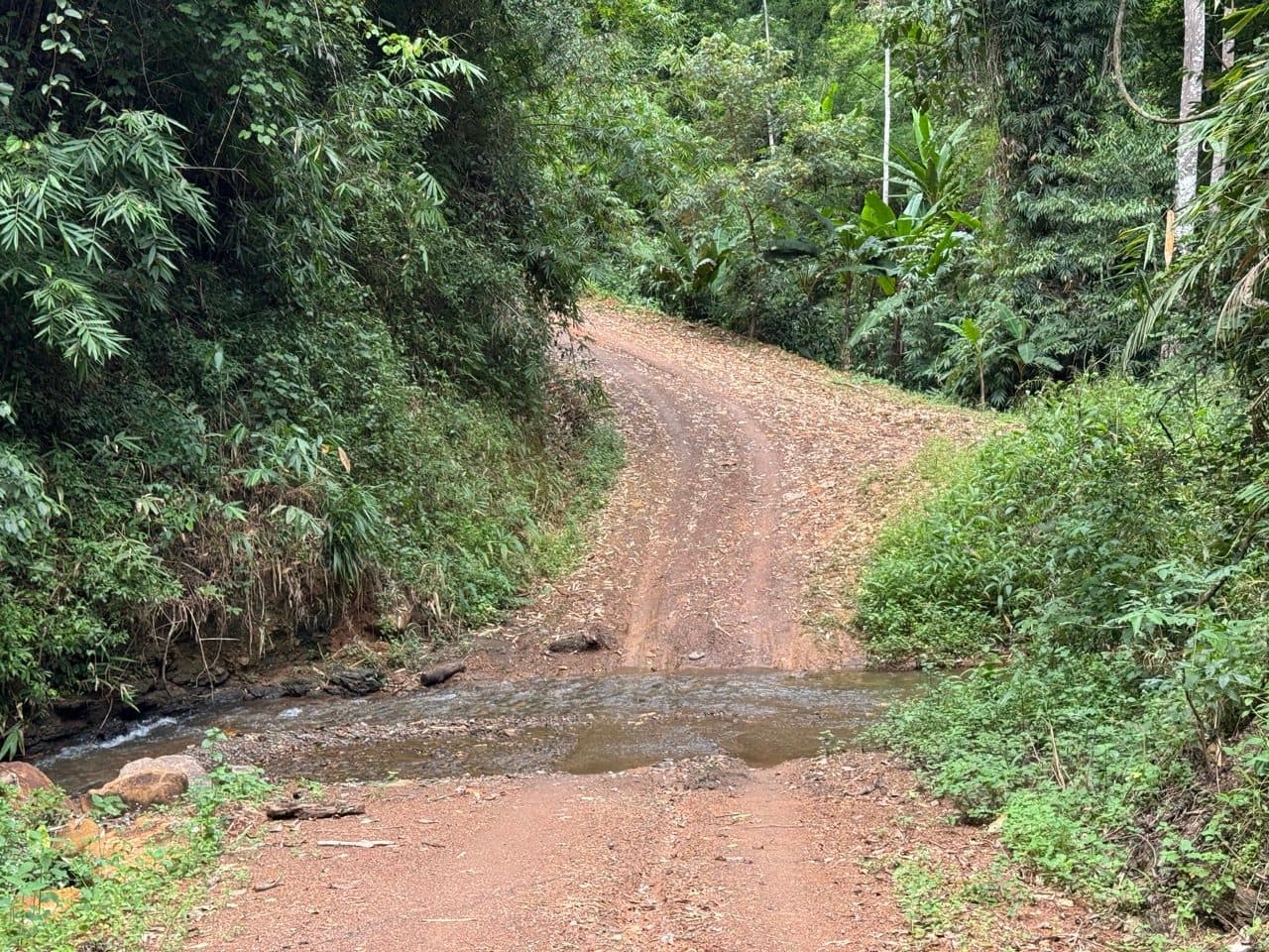
There is a lot of water on this loop. The route page says some of the crossings are deep, and in the wrong month I believe it. The first proper ford arrives around 28 km with corn growing down to the water on both sides, and a hundred metres after it there is a bridge built of planks laid across a stream — the sort you ride at a steady speed rather than stop and assess. In October both were unremarkable. In August they would be a different conversation.
Tham Sam Na
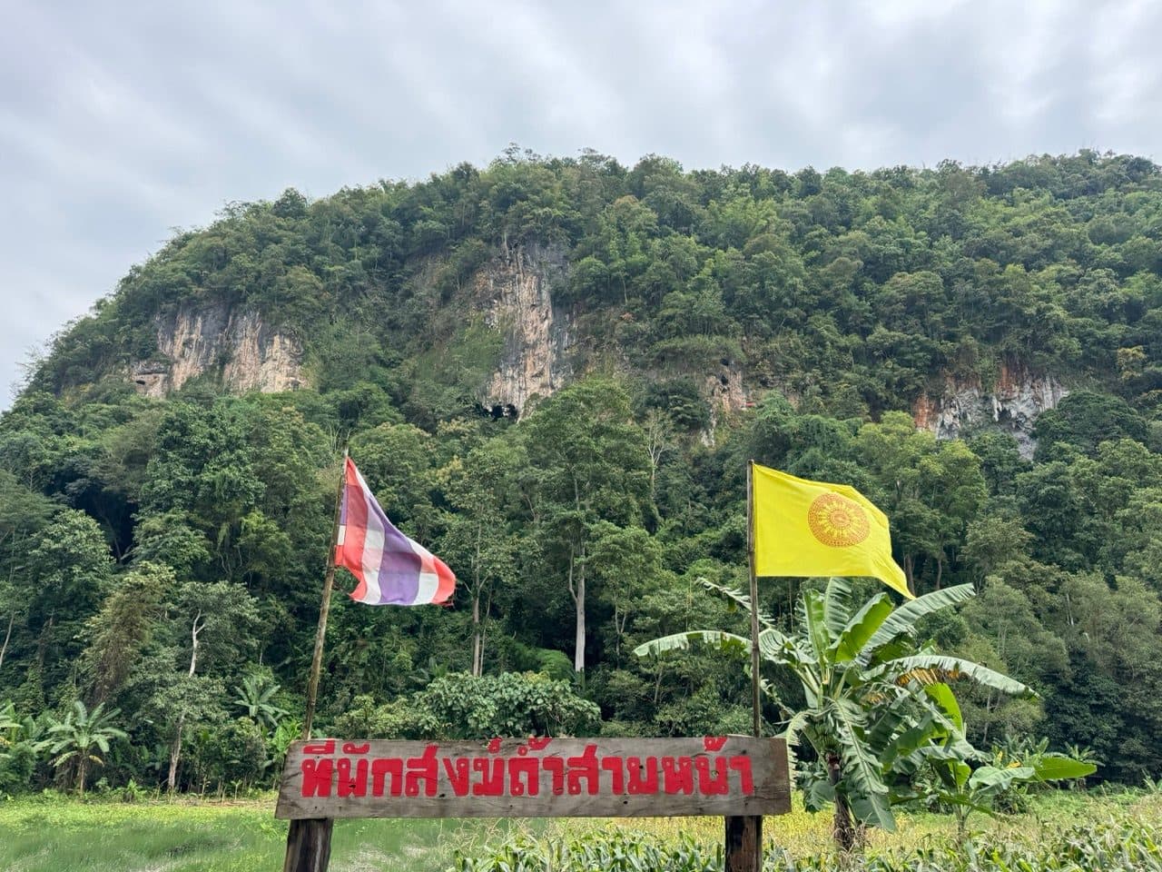
Around 30 km the valley flattens into paddy and dry corn, and then a limestone cliff comes straight up out of the trees with a monastery sign planted in the field in front of it — Tham Sam Na. Thai flag on one side, Buddhist flag on the other, both of them horizontal. It is the first thing all morning that made me stop for a reason other than a photograph.
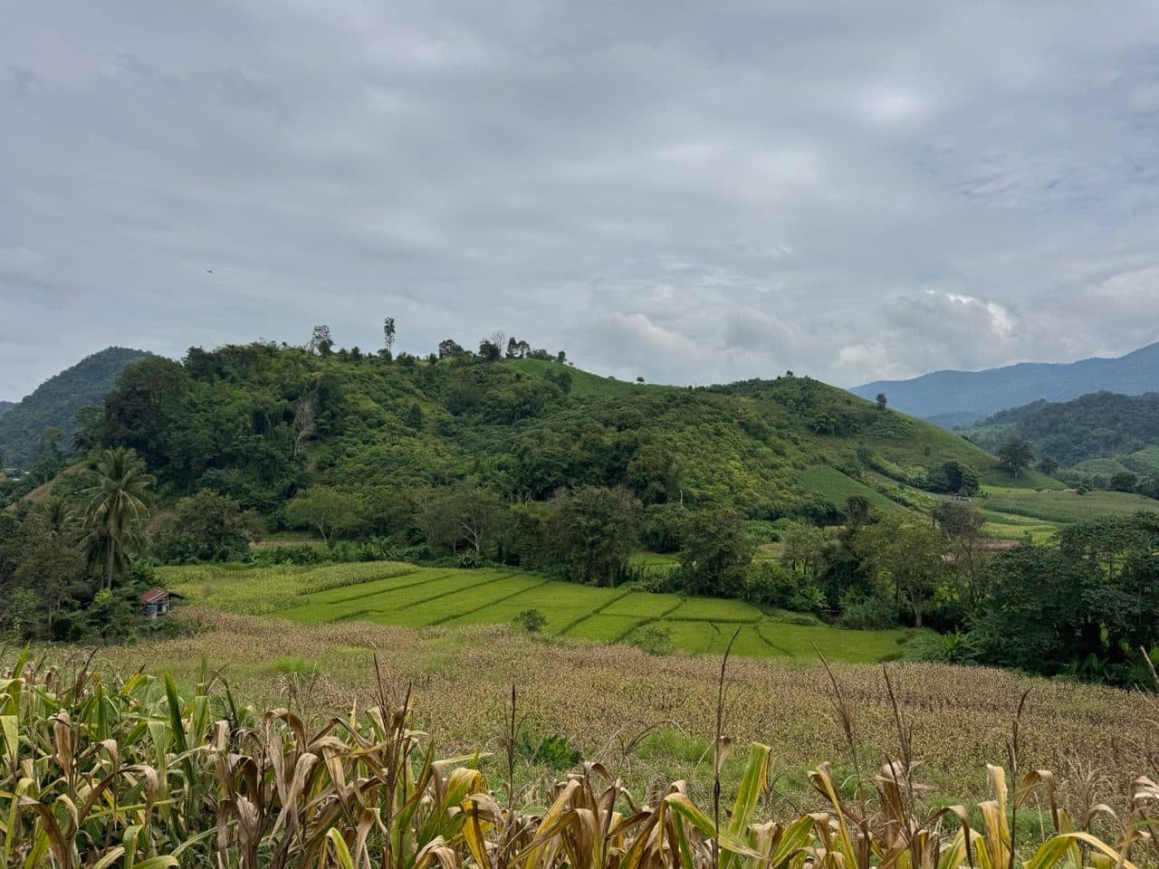
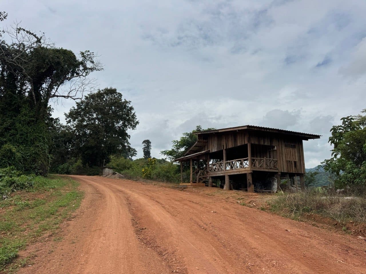
From there the road climbs north through Pa Hung, past wooden stilt houses sitting right on the edge of the orange, with the hills going blue behind them. There is another crossing at about 40 km, this one with the track lifting straight out of the water on the far side — wet enough that it wants a bit of momentum and not much else.
The tree
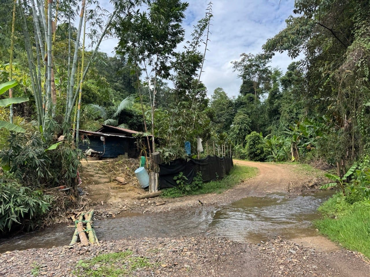
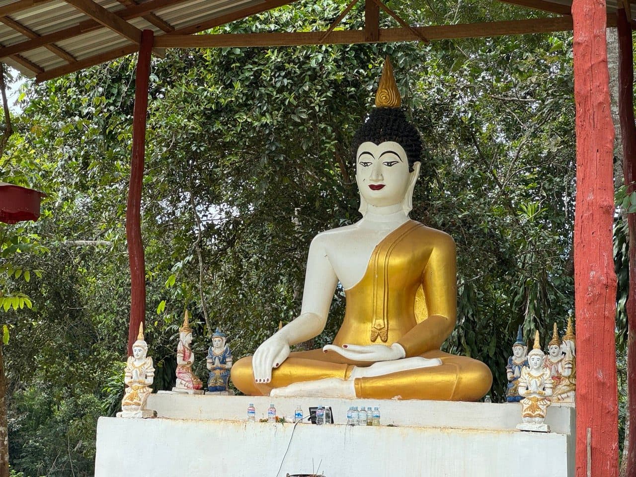
At 52 km the road runs through water again, this time past a bamboo shelter with a tarpaulin wall, and a few hundred metres later there is a seated Buddha under an open roof with a row of small painted figures lined up at the front and a few bottles of water left as offerings. Then the road stops being a road.
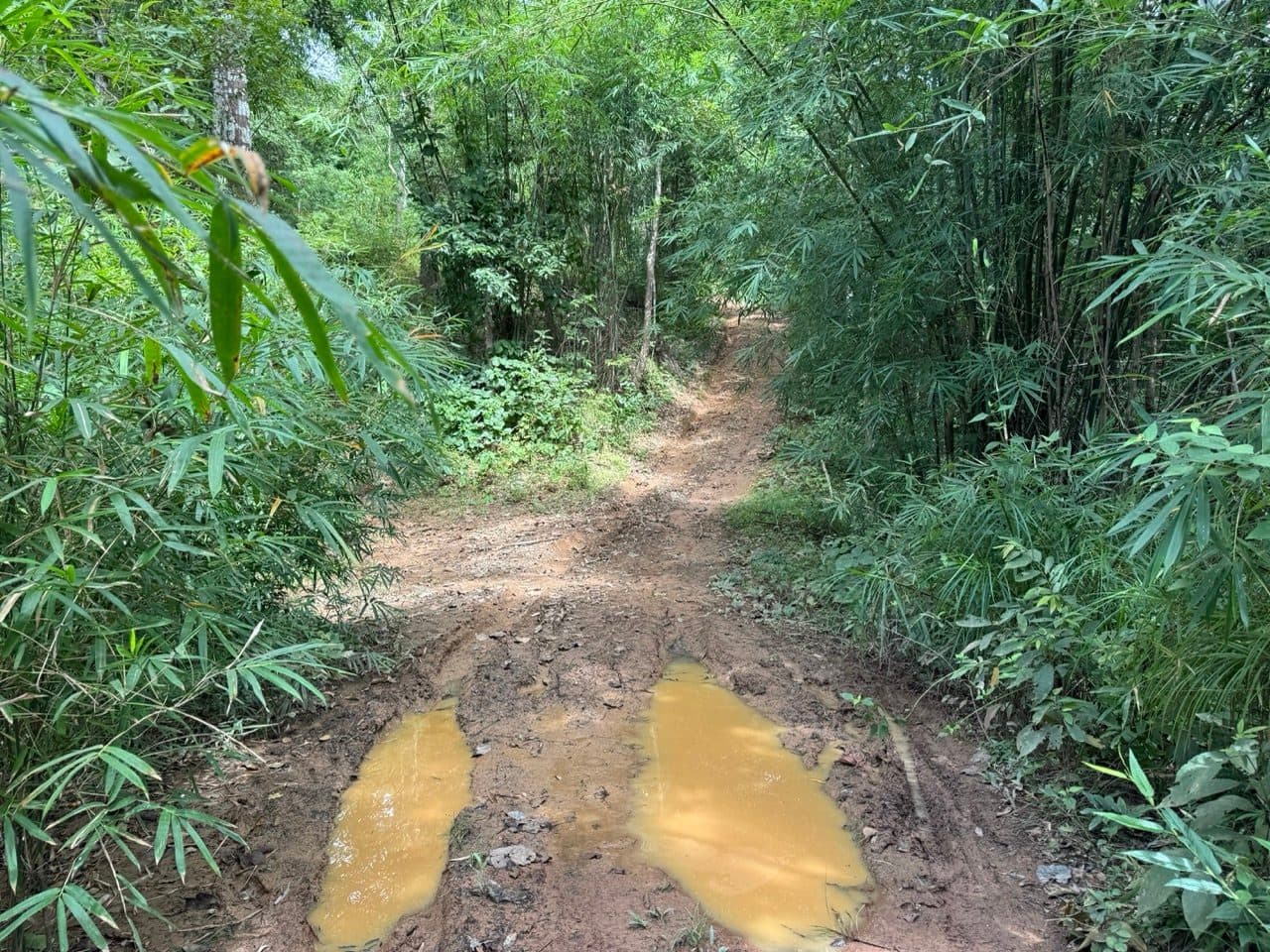
It narrows into bamboo, still holding water in the ruts, and three kilometres after that there is a tree across it.
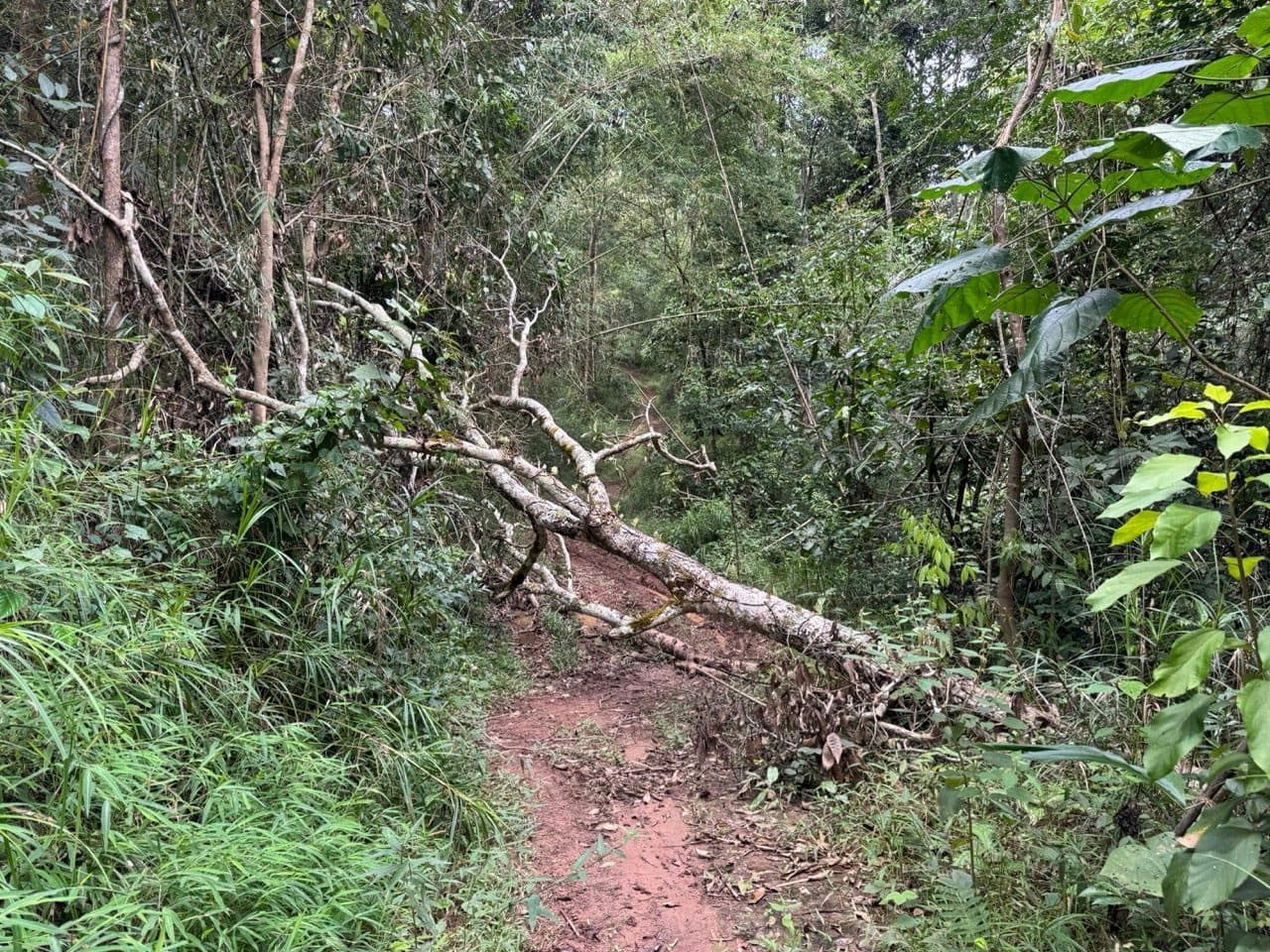
Not a branch. A tree — the main trunk lying diagonally across the trail at roughly chest height, with its smaller limbs scattered over the ground on the far side. The trunk I got the bike under by ducking it through underneath. The limbs beyond it had to be lifted over, one at a time, which took a while because there was nobody to hold the bike while I moved the wood. That is the part worth thinking about if you are riding this alone in green season: the obstacle is not difficult, it is just slow when you are on your own. A small folding saw would have turned twenty minutes into five.
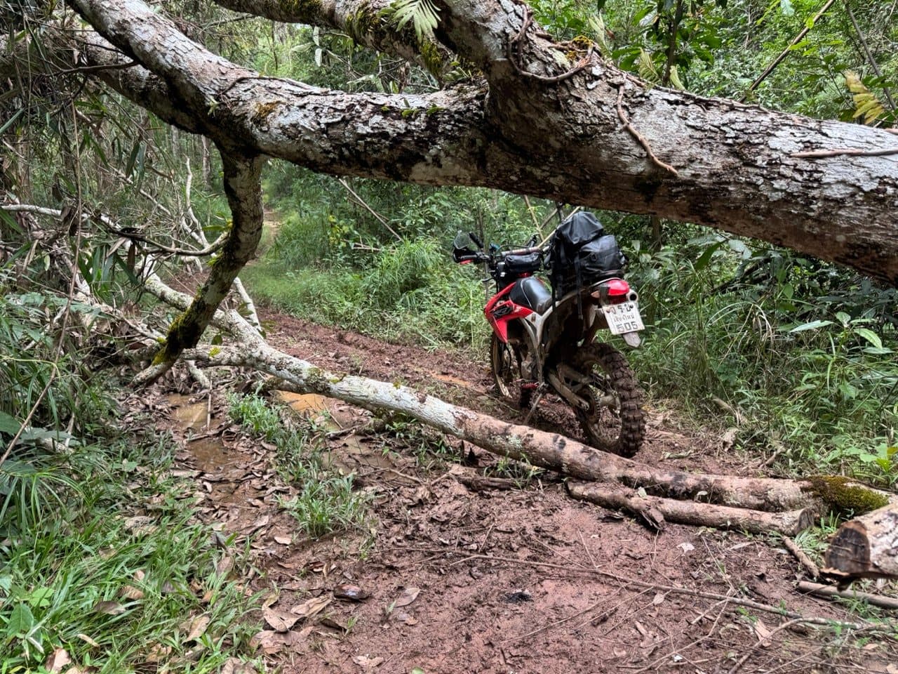
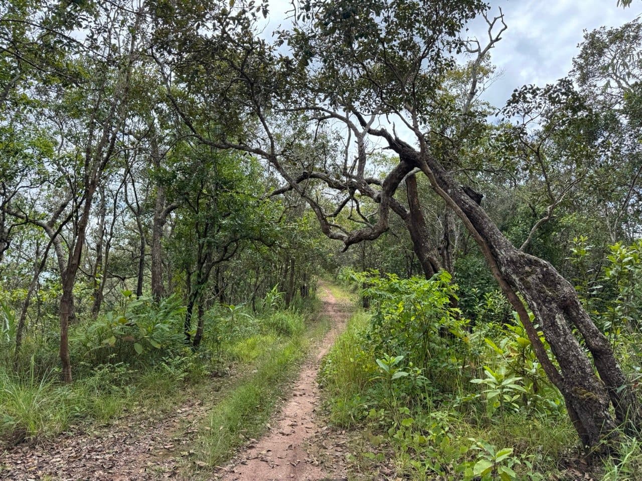
Three minutes later the trail is clear again and arching through old trees, as though none of it had happened.
The sky opens up
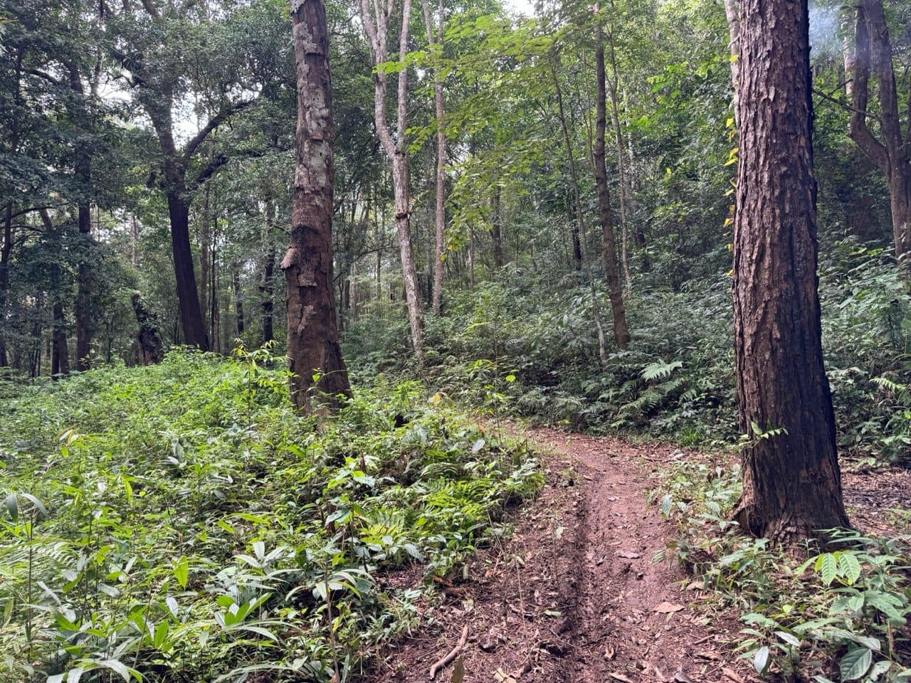
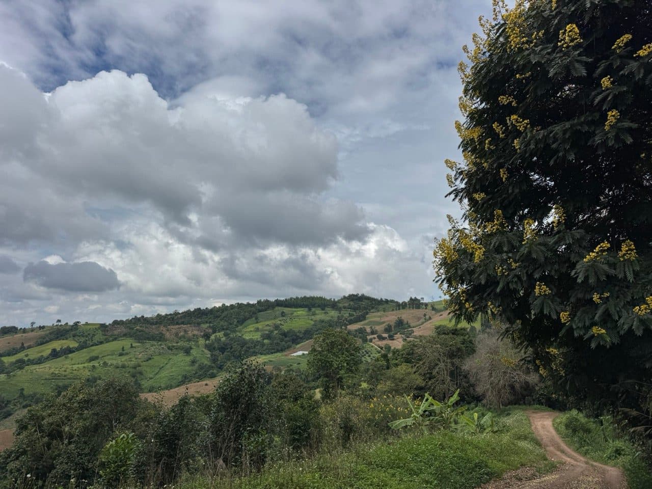
Somewhere around 60 km the weather finally gave up on the idea. It happened quickly — one section of forest singletrack through ferns, a tree in full yellow flower at the top of a rise, and suddenly there was blue behind it. From that point the loop turns into a completely different ride.
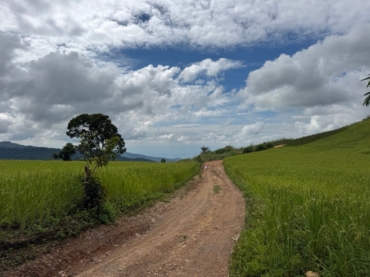
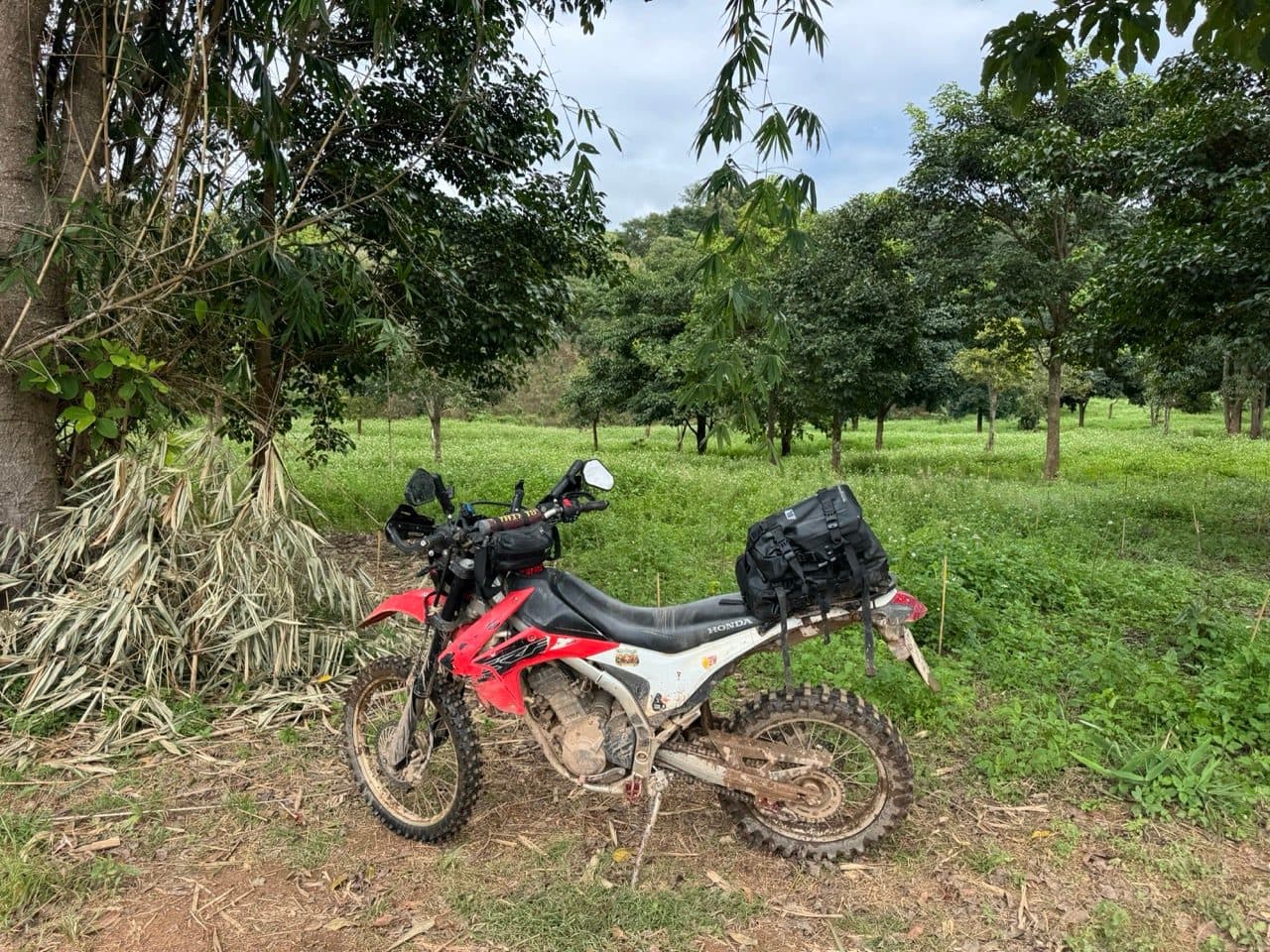
At 62 km the track runs dead straight between two fields of green rice with a single tree standing in the left-hand one, and that was the moment the whole day paid for itself. I stopped twice in about four hundred metres. The second time was to park the bike in an orchard and just stand there for a bit.
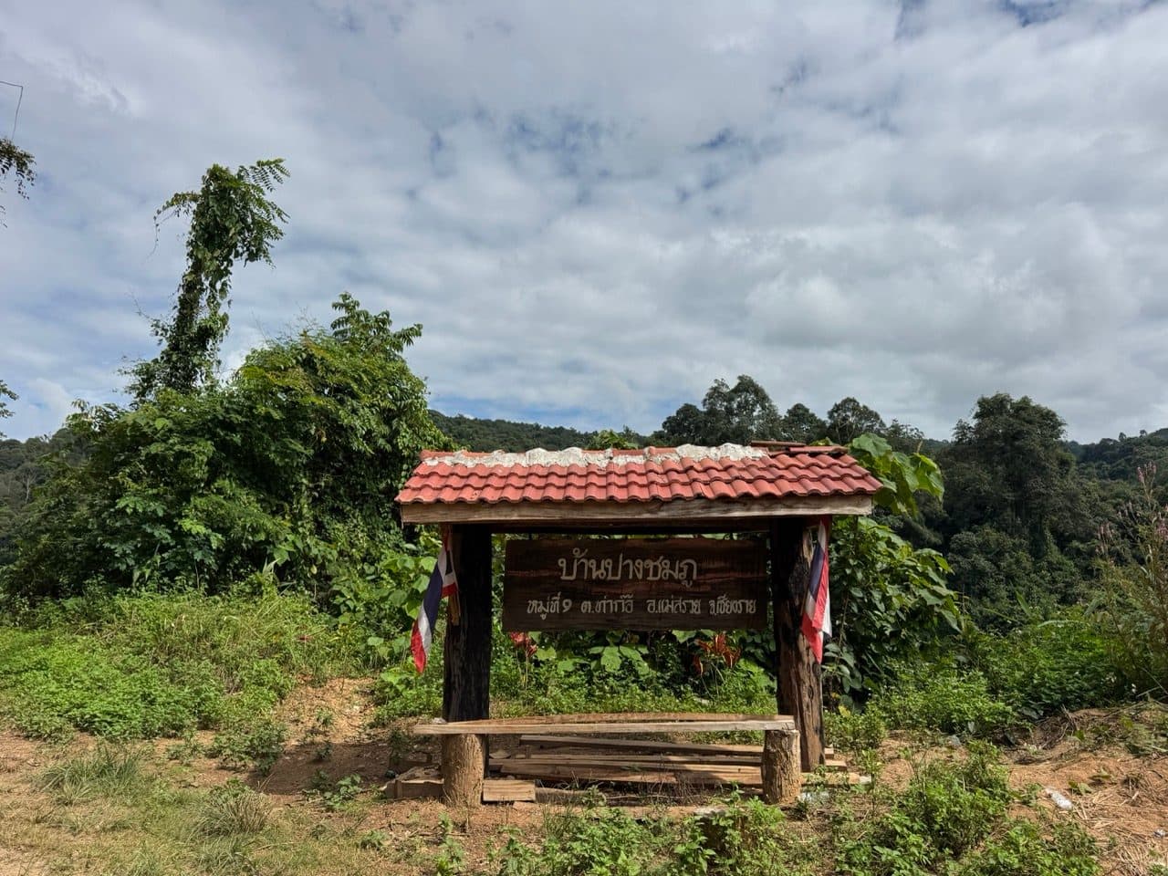
A few kilometres on there is a village gate with a tiled roof and a bench under it: Ban Pang Chomphu, Moo 1, Tha Ko, Mae Suai, Chiang Rai. Useful, if you had lost track of which province you were in. I had, slightly.
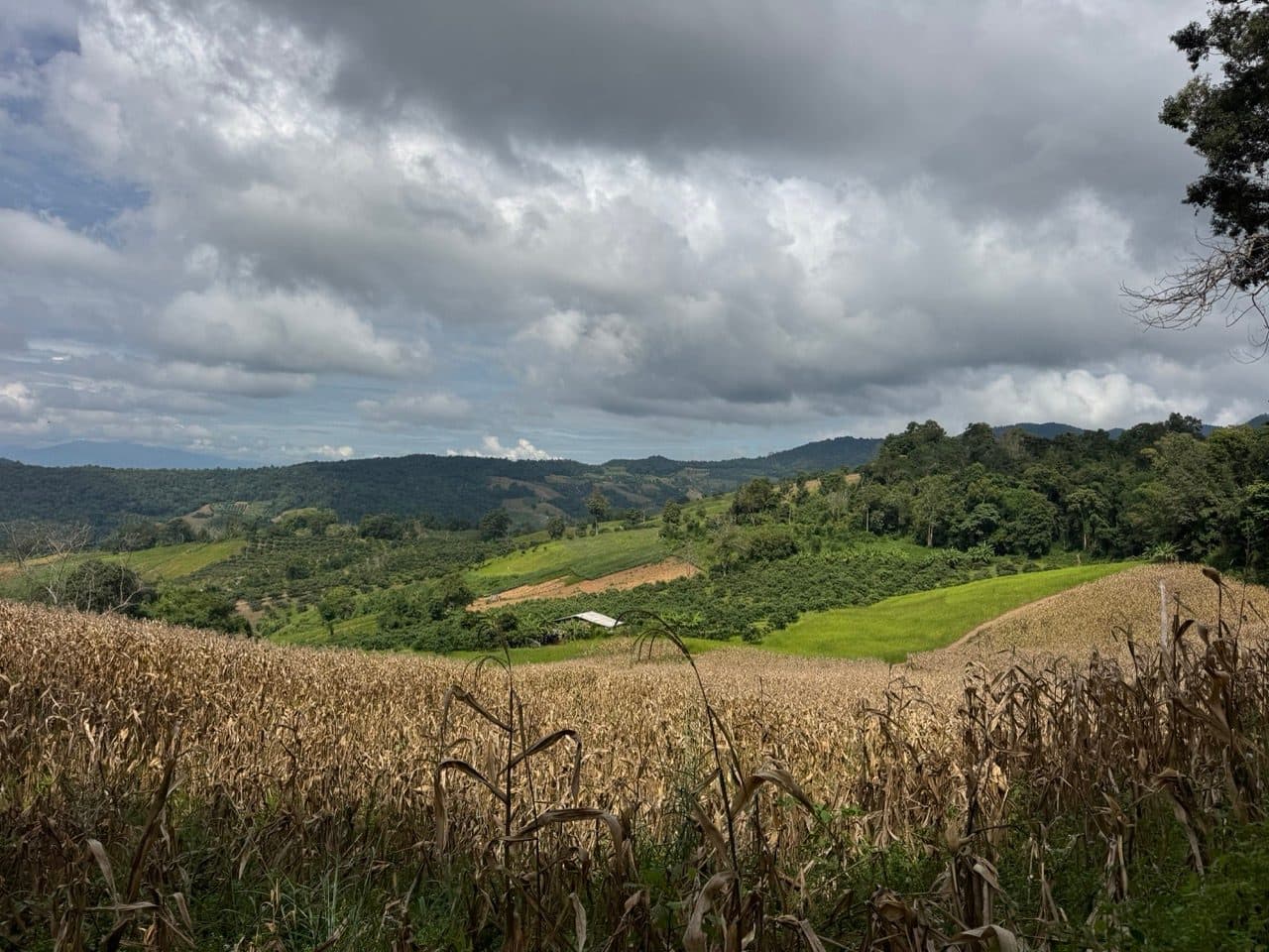
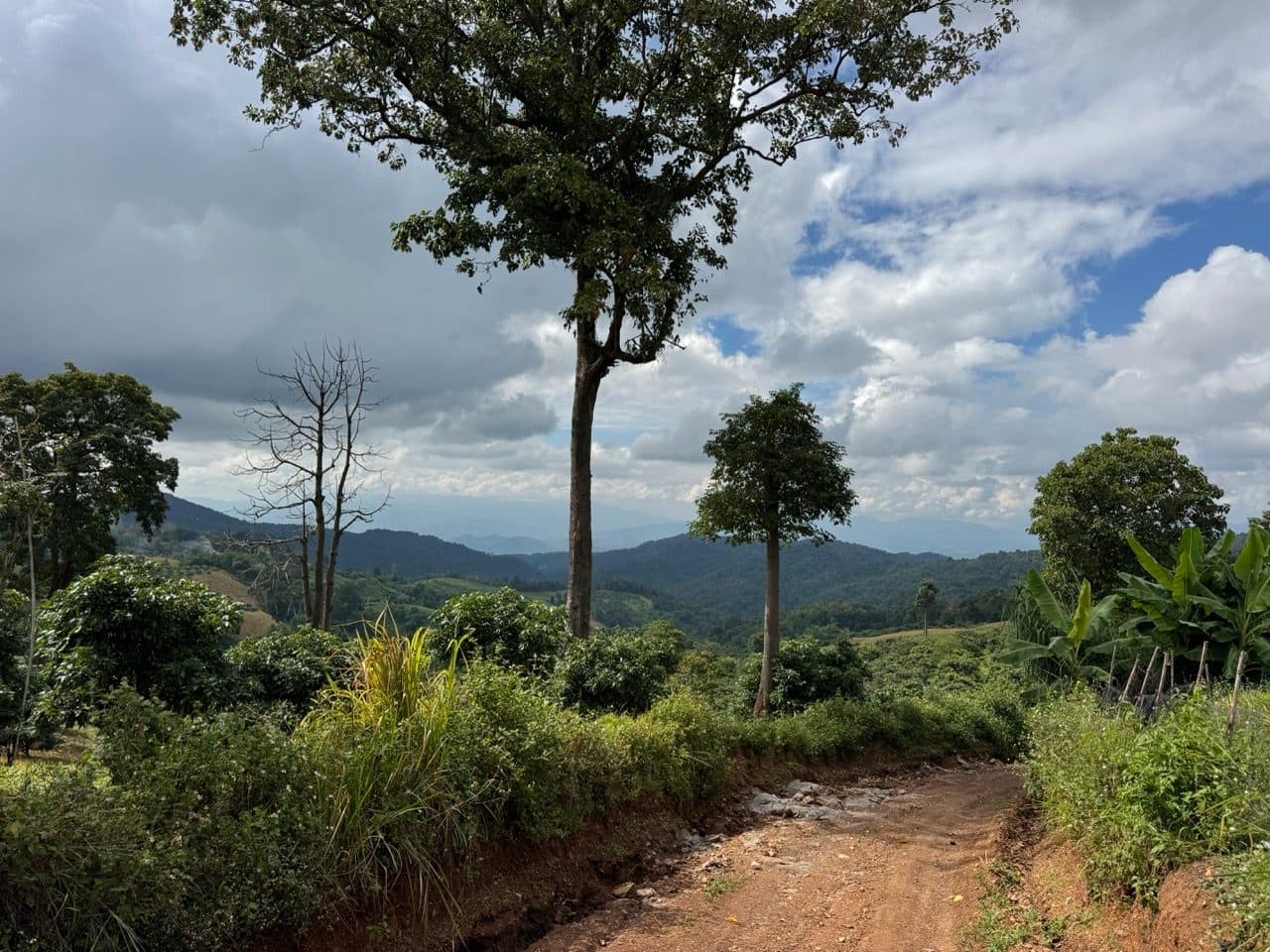
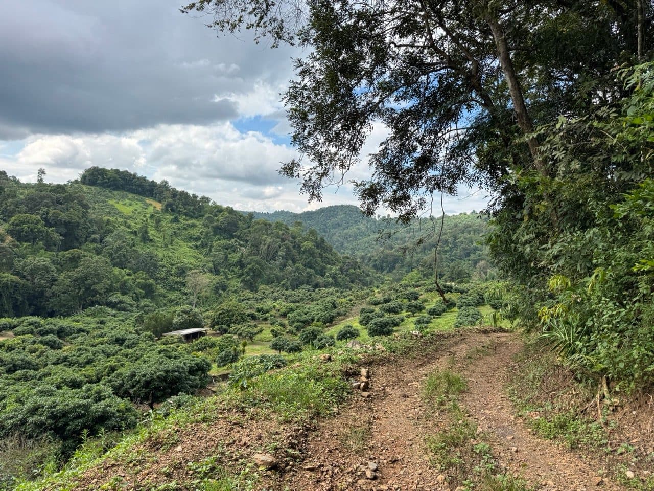
The next ten kilometres are the best riding on the loop and also the slowest, because the track spends them running along the tops of things. Dry corn in the foreground, weather still piled up behind, ridges going away west in about five shades of blue, then a long drop into a valley of coffee and orchard.
The long way back
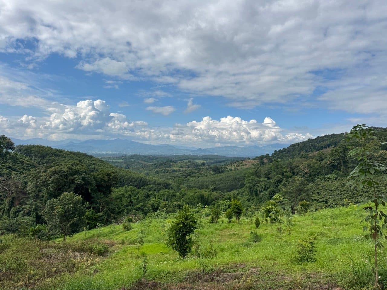
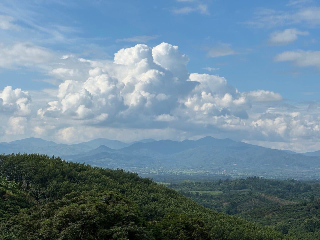
From about 80 km the loop turns for home, and the views get greedy on the way. The cloud that had sat on everything all morning had reorganised itself into the kind you actually want — stacked white over the mountains, with the whole plain open underneath.
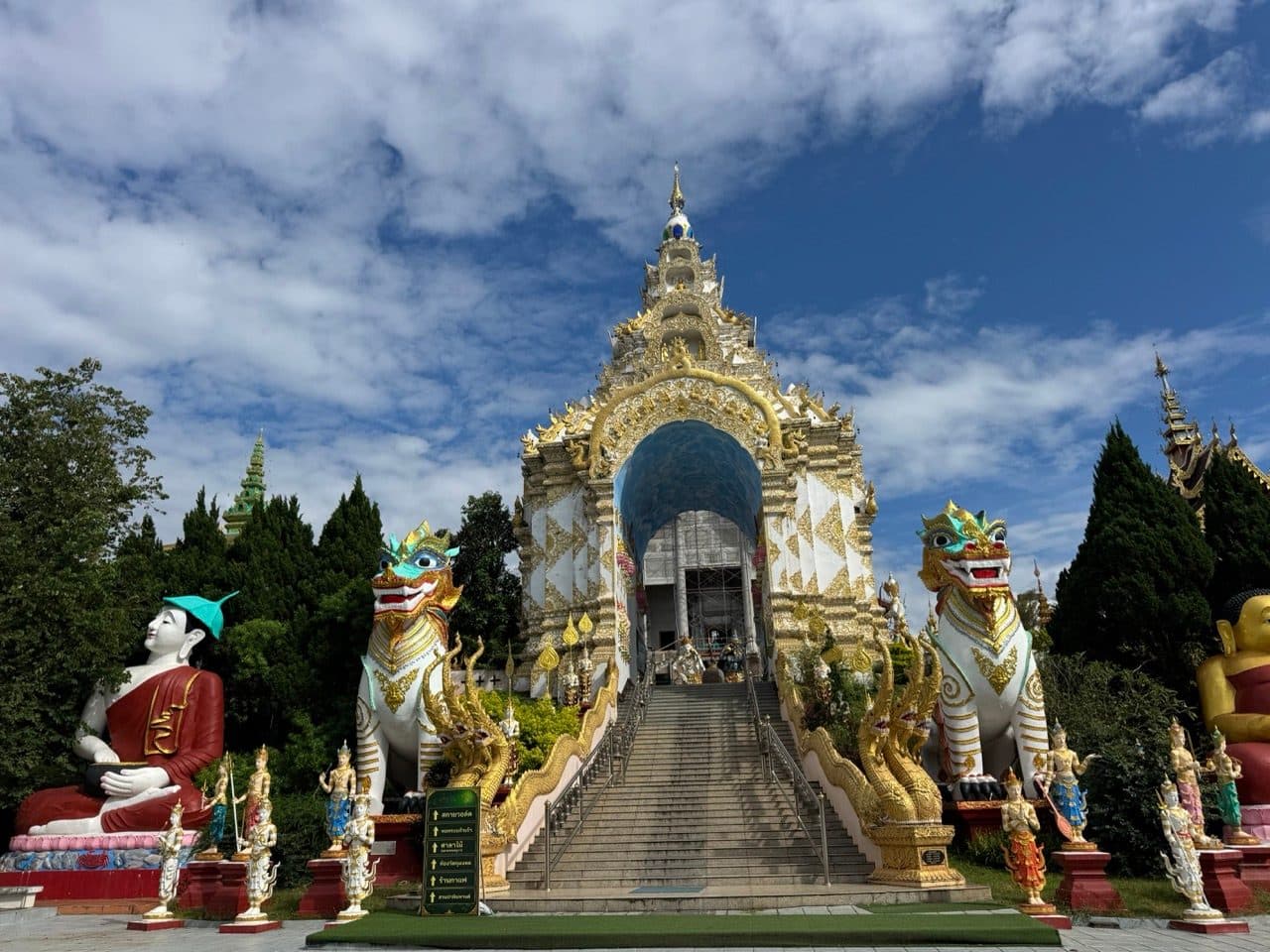
At 88 km, near Chedi Luang, the dirt gives way and Wat Saeng Kaeo Phothiyan appears on the right — white and gold, two enormous singha on the steps, a blue-domed arch over the entrance. After five hours of orange clay it is a lot to take in at once.
After the temple there are forty kilometres of getting back to Pa Ngio, and I have no photographs of any of it. By then it was four in the afternoon and I was thinking about food.
Pizza at Cabbages and Condoms
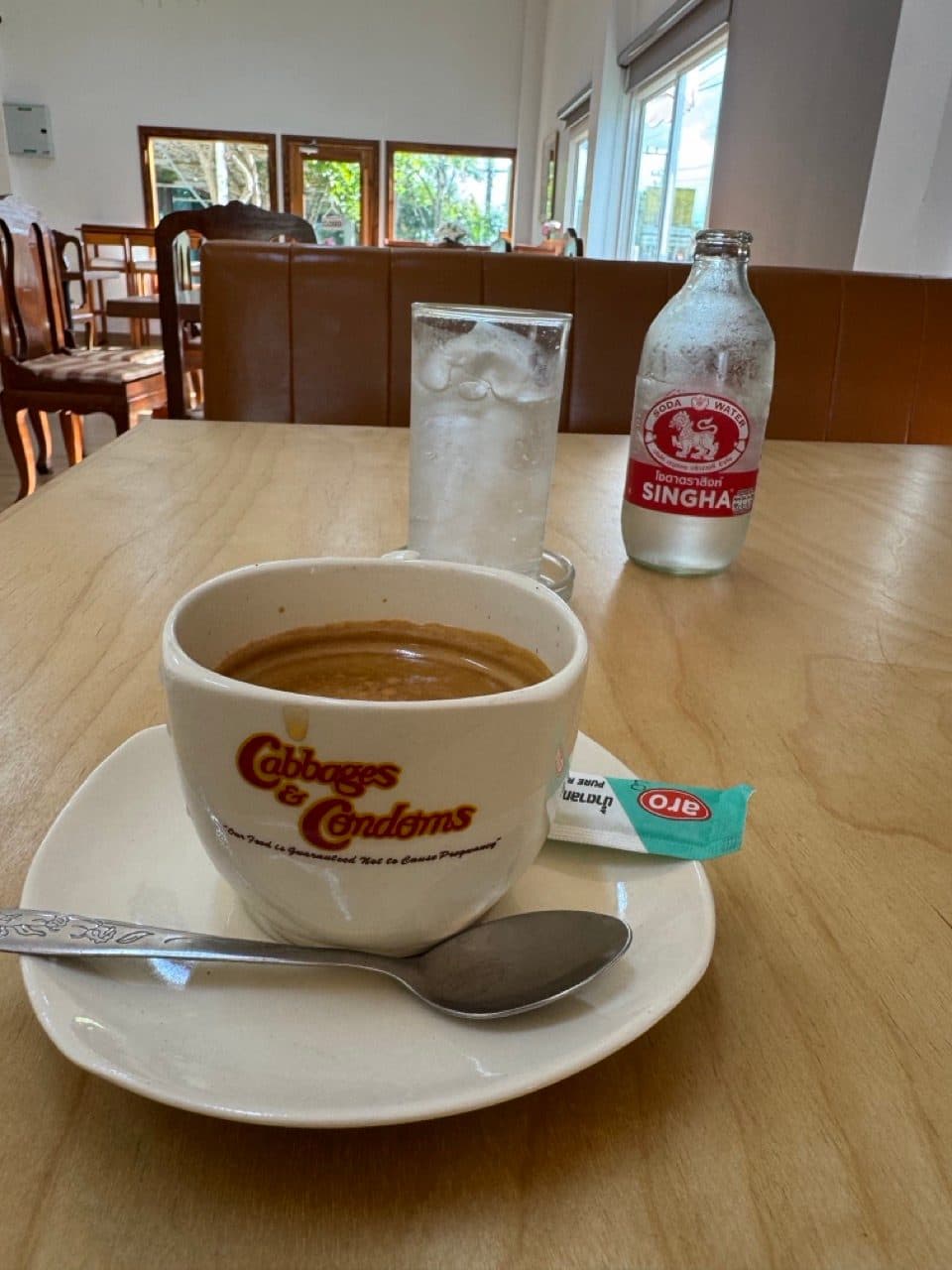
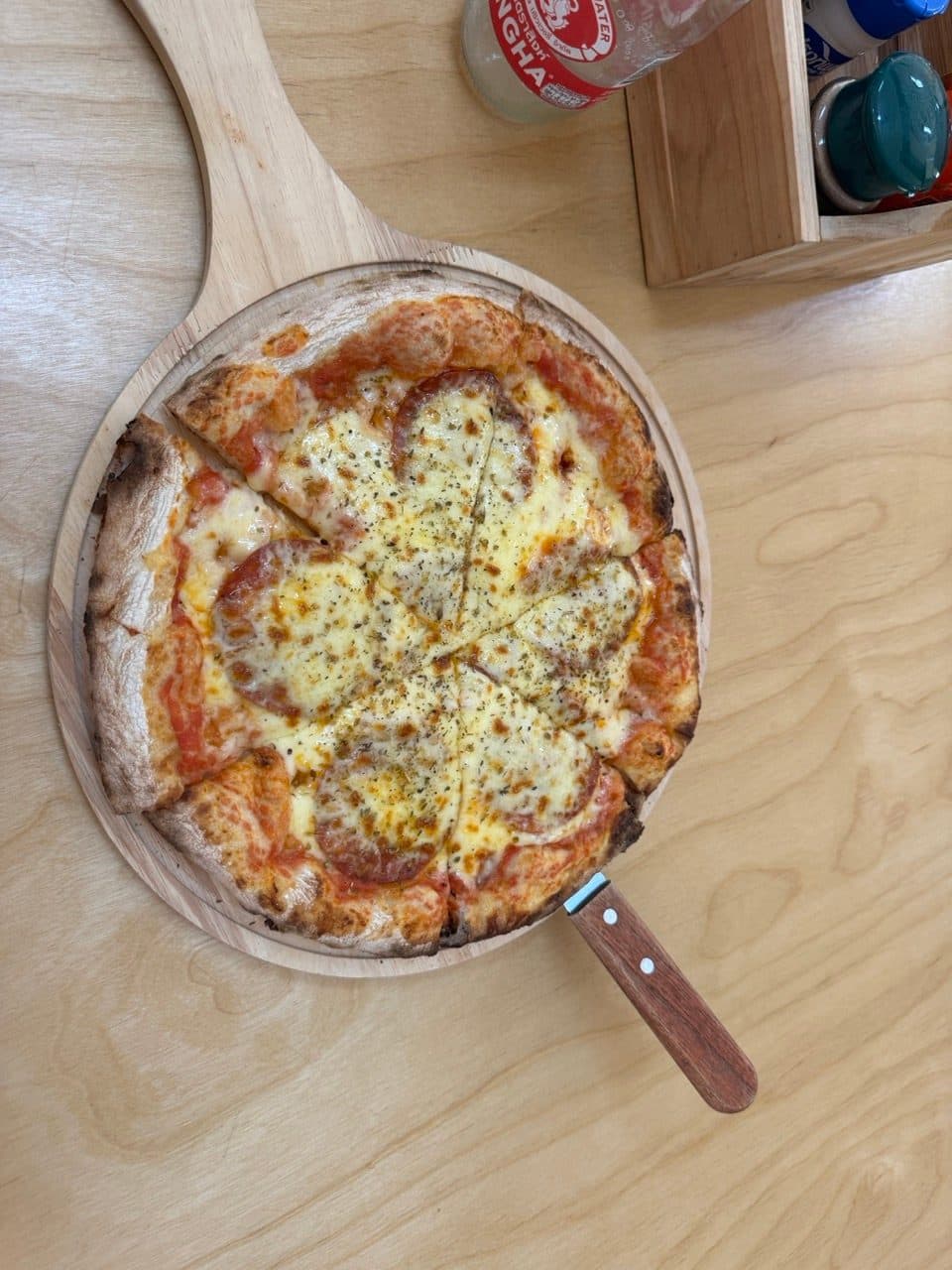
The loop closes where it opened, and more or less on top of the finish there is a place with a pizza painted across the entire upper wall and a red-striped awning that says C&C Cafe. The cup it arrives in says Cabbages and Condoms, which clears up what the two Cs are for.

Practical notes
- ·Bike — a CRF250L is more than enough. This is graded farm road for most of its length and the bike was never working hard.
- ·Skill level — genuinely beginner friendly, with the caveat that wet clay is the whole difficulty. Nothing on the loop is technical when it is dry.
- ·Tyres — green season means clay. Something with knobs left on it.
- ·Saw — a small folding saw is the single most useful thing you could add to this loop in October. I found one tree down and it cost me twenty minutes without one.
- ·Water crossings — several, plus a plank bridge. Fine in October; treat them with more respect earlier in the wet season.
- ·Fuel — villages along the way sell it, but there is nothing resembling a station in the middle. Start full.
- ·Riding it solo — fine, and quiet, but it changes what an obstacle costs you. Budget more time than the distance suggests.
- ·Time — 129 km took five hours door to door with about three hours fifty of that moving. Allow the full day if you intend to stop properly, and you will want to.
FAQ
- How long is the Doi Luang Chiang Rai loop?
- 129.3 km, starting and finishing at Pa Ngio near Wiang Pa Pao. It took five hours elapsed, of which about three hours fifty was actually moving. There is roughly 3,224 m of climbing, between a low point of 476 m and a high point of 1,171 m.
- What bike do you need for it?
- Nothing special. This was a solo run on a Honda CRF250L and the bike was never stretched. The loop is farm road and forest track, with only a short section of singletrack in the middle.
- Is it suitable for beginners?
- Yes, in the dry. It is graded dirt road connecting farming villages, and the gradients are long rather than steep. Wet clay is the thing that makes it harder, not the terrain.
- Can you ride it in the rainy season?
- This ride was mid-October, on trails that had taken rain all the previous night, and it was fine throughout. Earlier in the wet season the water crossings get deeper and the clay gets considerably more slippery. October to February is the comfortable window.
- What is there to see along the way?
- The limestone cliff and monastery at Tham Sam Na, several roadside shrines and Buddha images, the village gate at Ban Pang Chomphu, and Wat Saeng Kaeo Phothiyan near Chedi Luang towards the end. There is also a C&C Cafe at the finish that does pizza.
GPX Downloads
1 file · 672 KB
Want this as a standalone route? It is on the routes page with the GPX and the full detail.