Two Honda CRFs on a red dirt road in karst country between Phonsavan and Vang Vieng, Northern Laos
Route

Northern Laos by Dirt Bike: 7 Days from Chiang Mai to Vientiane and Back

A 7-day, ~1,700 km dirt bike loop from Chiang Mai through Pak Beng, Luang Prabang, the Plain of Jars, Vang Vieng and Vientiane — riding into Laos at Chiang Khong, back out through Phu Doo, and learning Pi Mai (Lao New Year) the hard way.

20 min readApril 2026

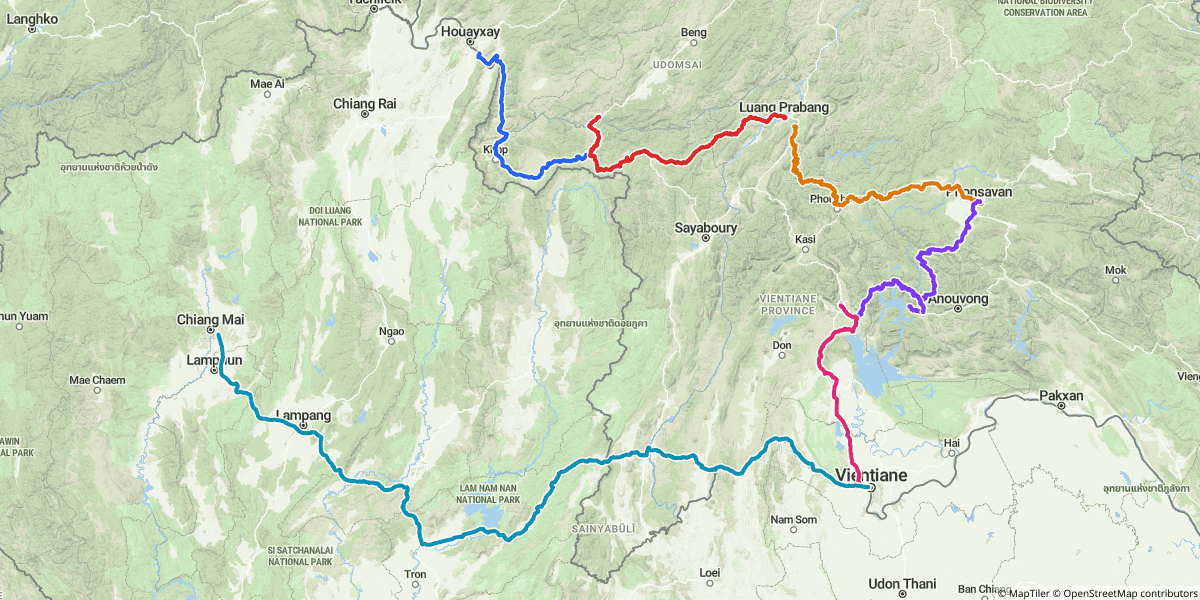
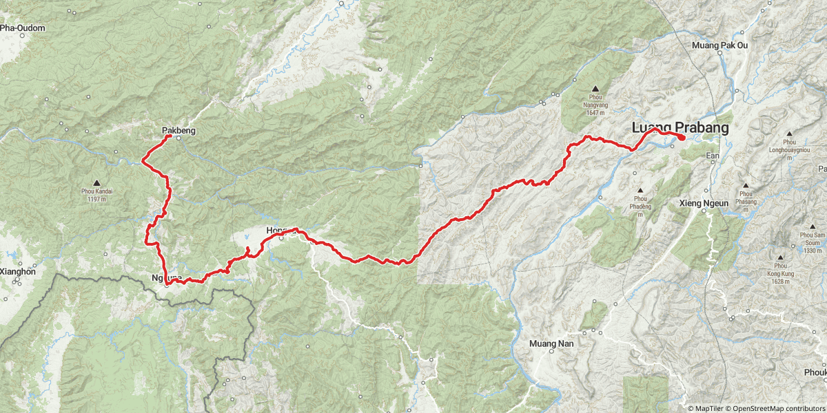
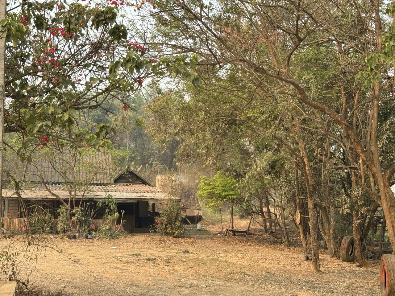
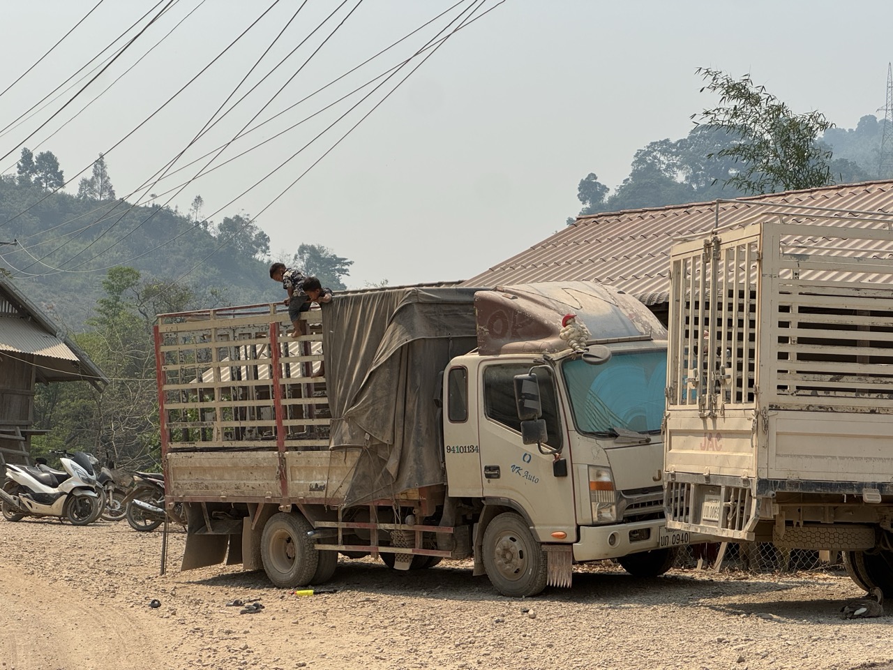
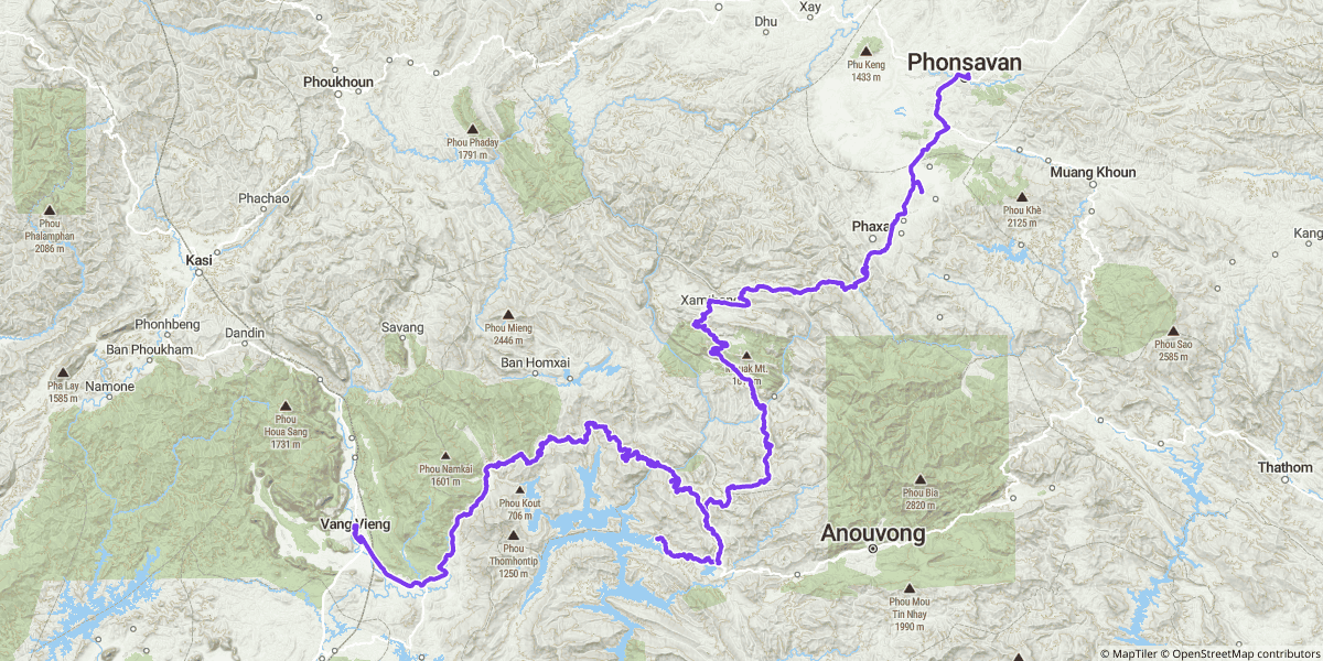
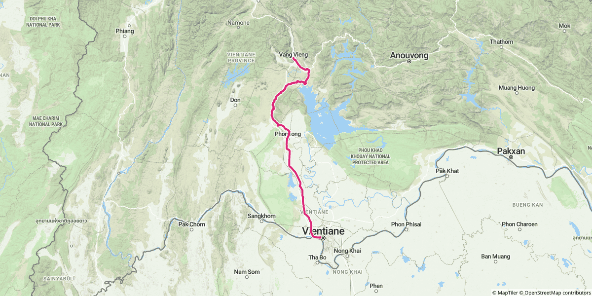
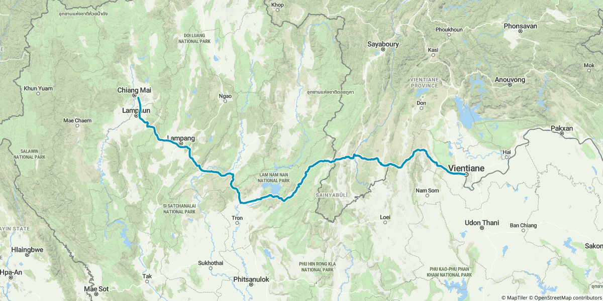
Northern Laos is one of those places that feels like a step back in time the moment you cross the border. The villages are wooden, the roads are dirt more often than they are paved, the petrol comes out of glass-bowled hand pumps in the smaller towns, and the rhythm of a riding day is set by what you find around the next ridge — not by anything you planned the night before. We rode it on two CRFs in mid-April: out of Chiang Mai, into Laos at Chiang Khong, up to Pak Beng on the Mekong, across to Luang Prabang, east to Phonsavan and the Plain of Jars, south through Vang Vieng's karst country to Vientiane, and back into Thailand at the Phu Doo crossing. Seven days, six nights, ~1,715 km on the GPS.

And we did it during Pi Mai — Lao New Year, the country's biggest annual water festival, which the calendar dropped right into the middle of our trip whether we'd planned for it or not.

Loaded up at the Bangchak station in Chiang Mai, day one. The first photo of any long trip always looks the most optimistic.

The Whole Loop, in One Map

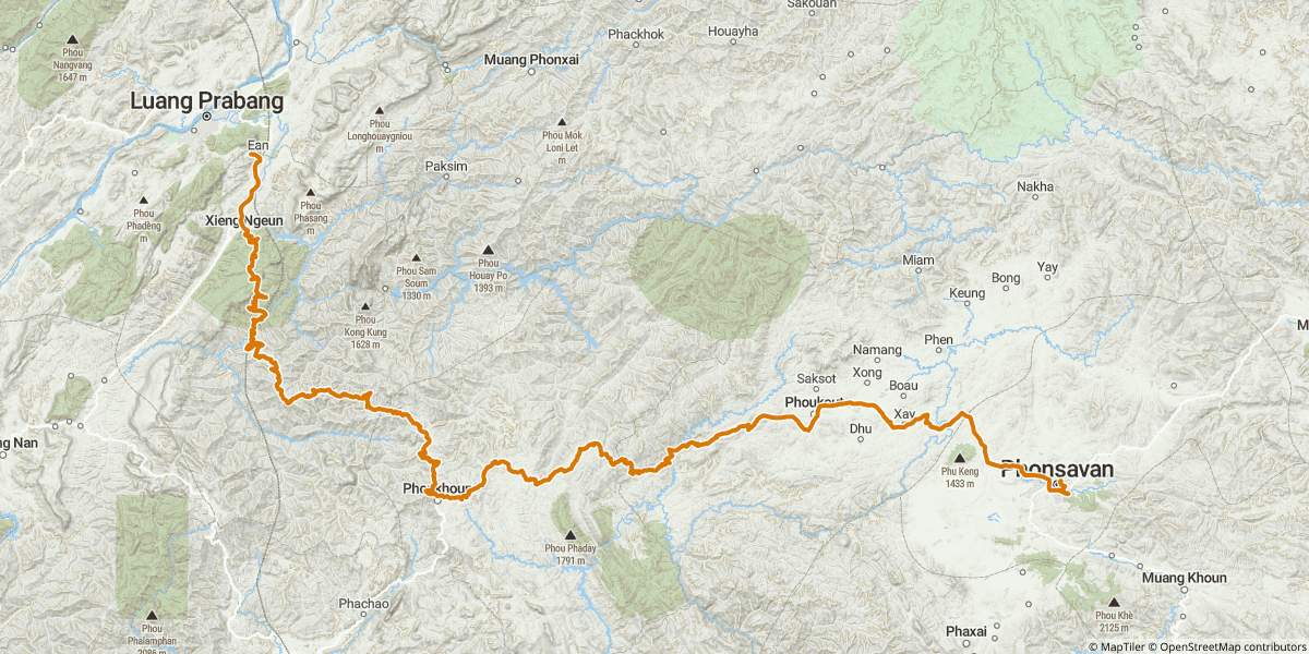
Here's all six riding days plotted together — Day 3 was a forced rest day in Luang Prabang (more on that below) so it doesn't appear here. The colour coding follows the per-day maps further down.

The full 7-day loop — Day 1 (blue), Day 2 (red), Day 4 (amber), Day 5 (violet), Day 6 (pink), Day 7 (cyan). About 1,715 km total. Day 3 was a rest day in Luang Prabang.

The Route at a Glance

DayRouteDistanceSleep
Day 1 (Sun)Chiang Mai → Chiang Khong → Huay Xai → Pak Beng~216 kmLe Grand Pakbeng Resort
Day 2 (Mon)Pak Beng → Oudomxay → Luang Prabang~218 kmPha Nya Residence, Luang Prabang
Day 3 (Tue)Luang Prabang — bike repair + Pi MaiRest dayPha Nya Residence, Luang Prabang
Day 4 (Wed)Luang Prabang → Xieng Khouang → Phonsavan~259 kmVansana Plain of Jars Hotel, Phonsavan
Day 5 (Thu)Phonsavan → Vang Vieng (the dirt road day)~292 kmAmari Vang Vieng
Day 6 (Fri)Vang Vieng → Vientiane~153 kmHoliday Inn Vientiane
Day 7 (Sat)Vientiane → Phu Doo border → Chiang Mai~577 kmHome

The Border Crossings (the Honest Bit)

Crossing into Laos by motorcycle is straightforward but it isn't trivial — there's paperwork for the bike, paperwork for you, and the Lao side moves at its own speed. We won't reproduce the full bureaucracy here because Riders Corner already wrote the definitive guide, and theirs is kept up to date.

Read this before you go: Crossing Into Laos by Motorcycle — riderscorner.net/guides/crossing-into-laos-by-motorcycle. It walks you through the visa, the temporary import for the bike, the insurance you'll be sold (or not) at the border, and what cash to carry.

Two practical things from our trip that aren't always obvious in the guides: enter Laos at Chiang Khong (the Friendship Bridge IV crossing into Huay Xai). It's the most established crossing for foreign-registered bikes, the staff on both sides see motorcycles every day, and it's the most direct route to Pak Beng and the rest of the north. And come back via Phu Doo (ภูดู่) in Uttaradit — the smaller permanent border checkpoint south of the obvious Nong Khai option. We rolled across in under thirty minutes with almost no other traffic. If you're planning the loop in either direction, the Phu Doo end of the journey is the one to optimise around.

Why This Loop on a Dirt Bike?

Northern Laos can absolutely be done on a road bike — there's a paved spine running Huay Xai → Luang Prabang → Vang Vieng → Vientiane, and plenty of people ride it that way. But you give up most of the country if you do.

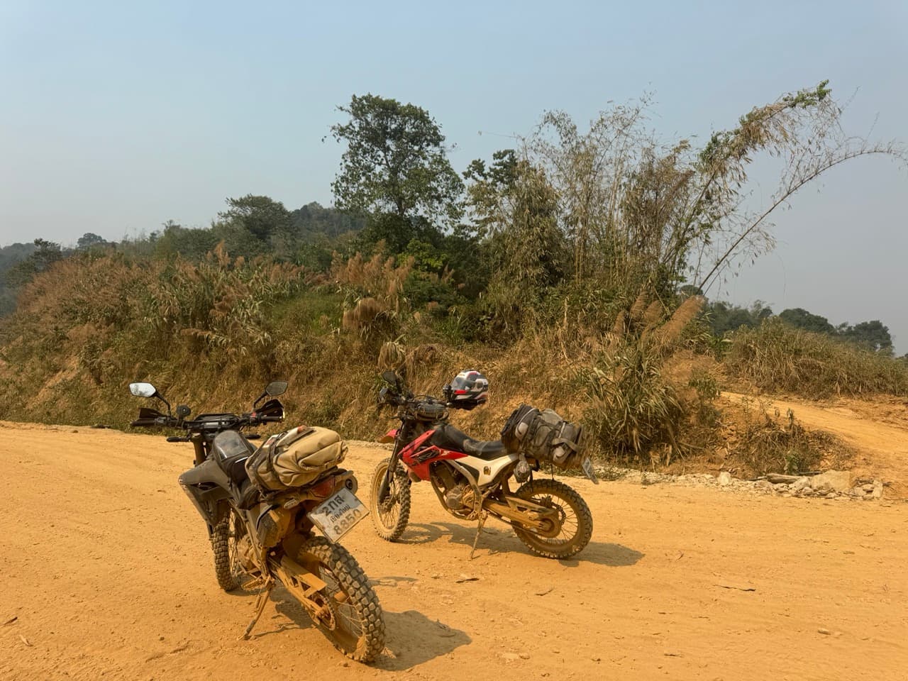
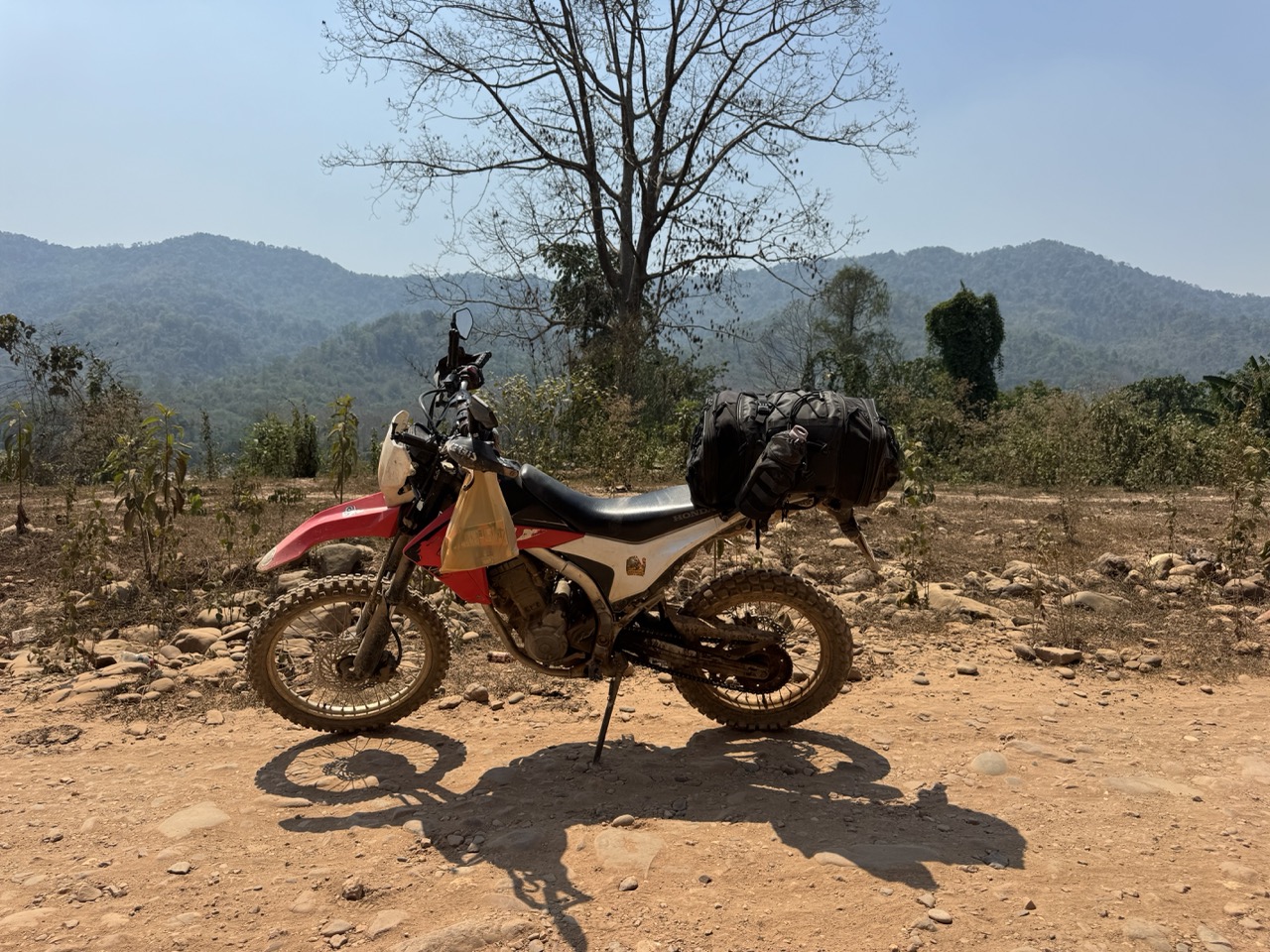
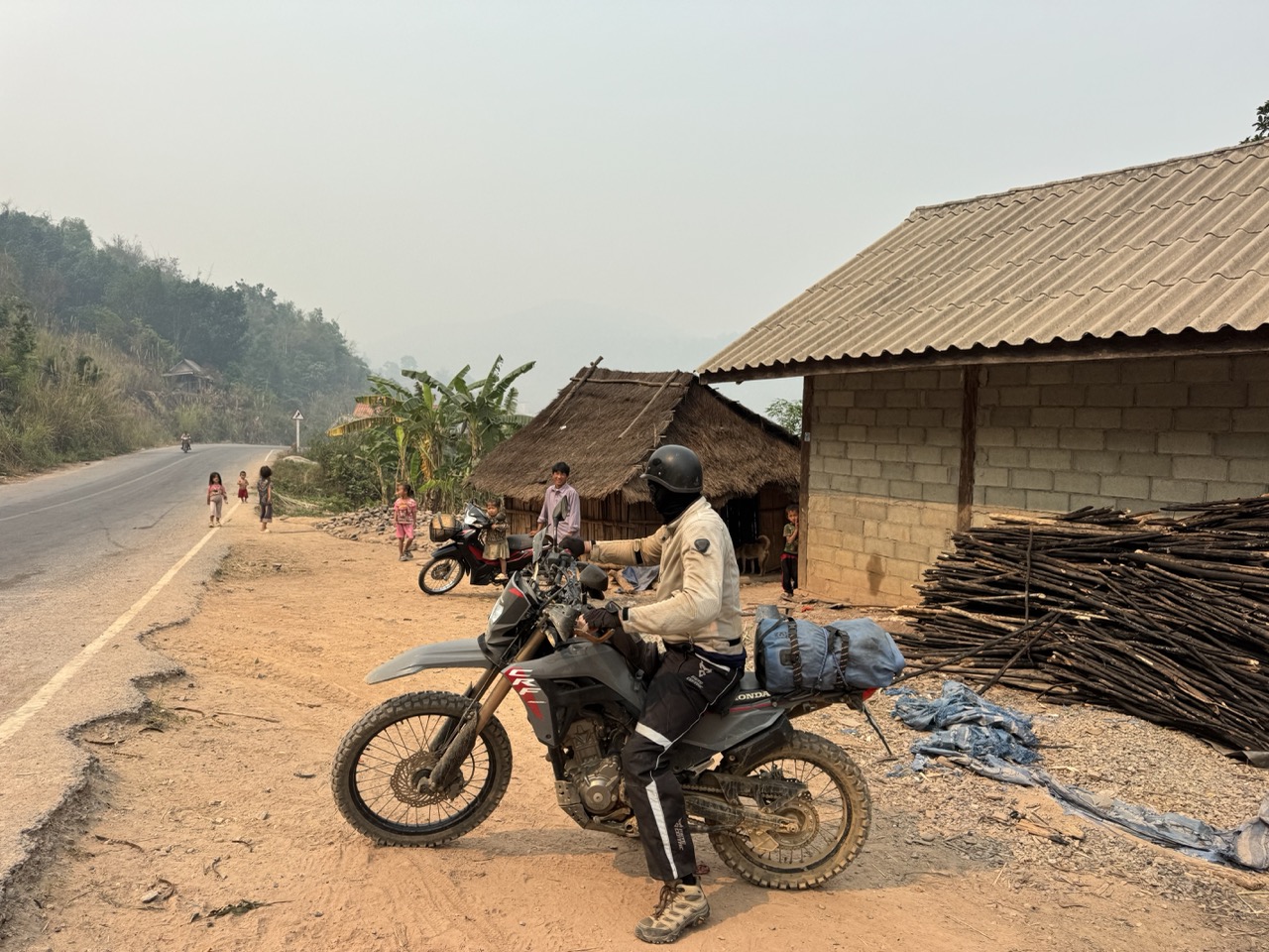
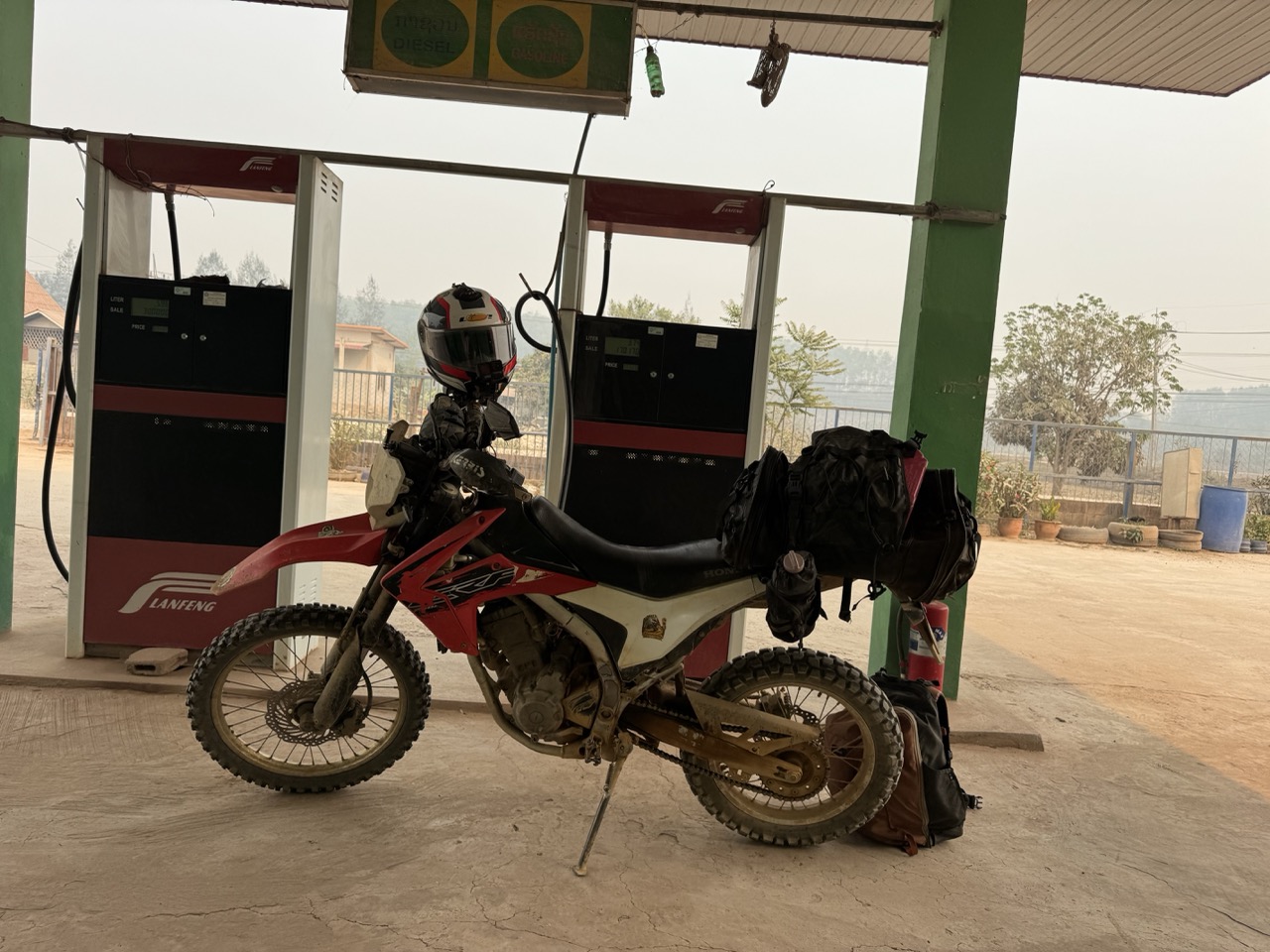
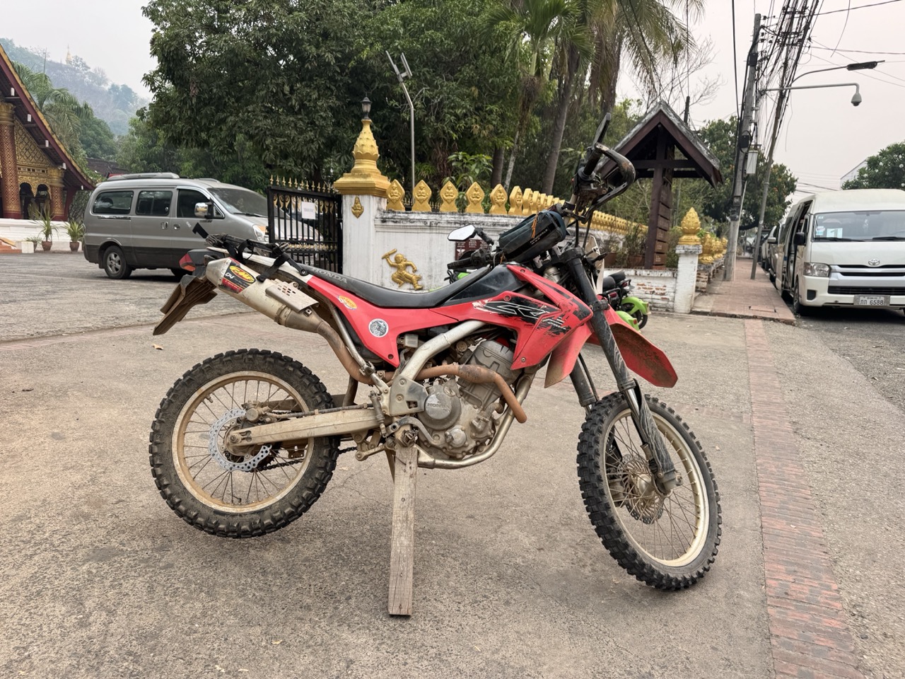
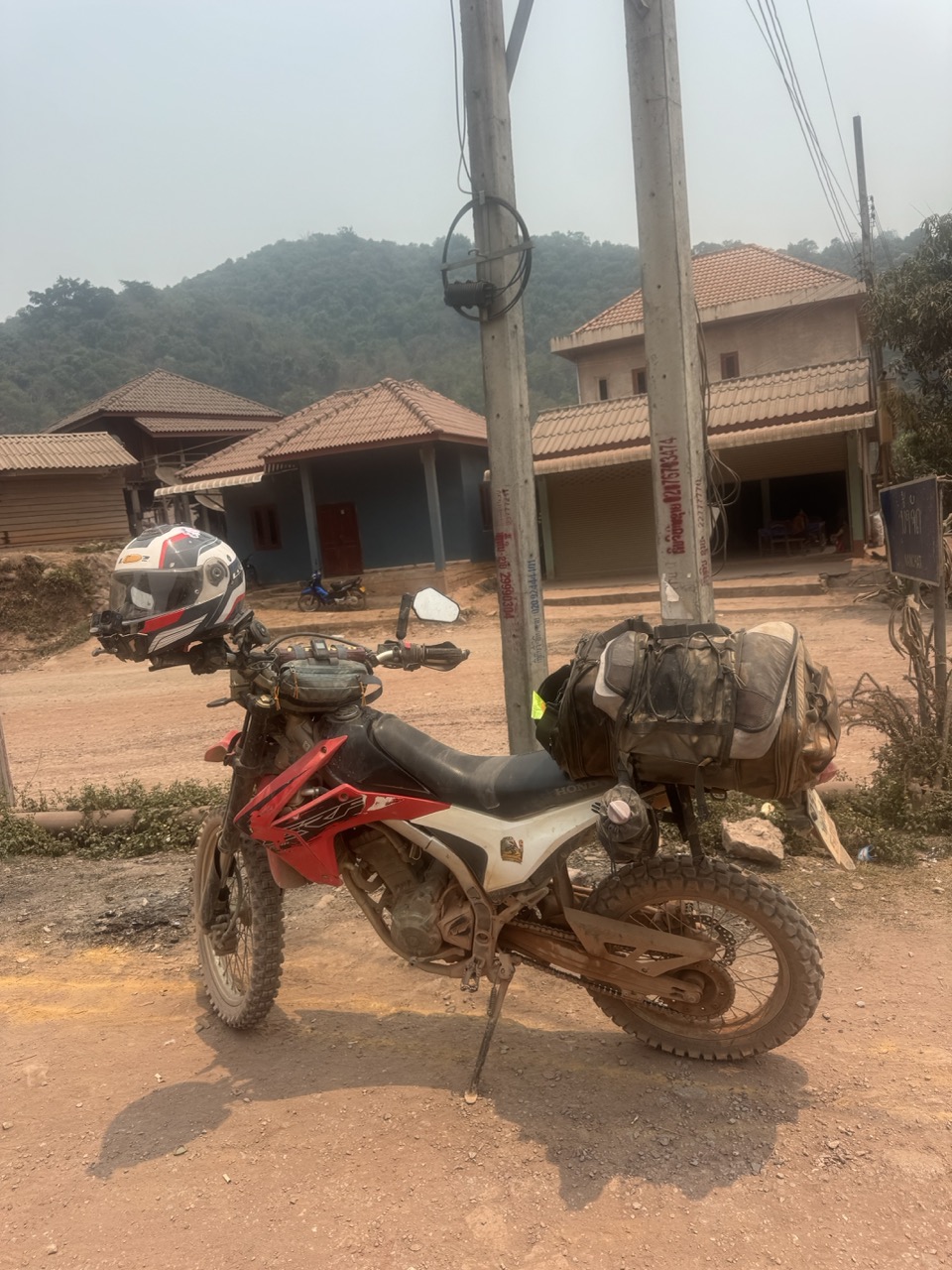
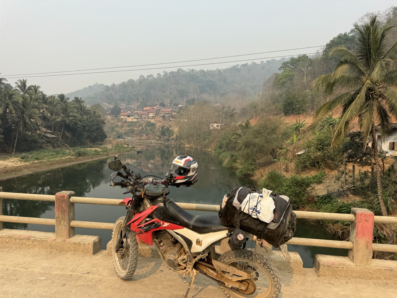
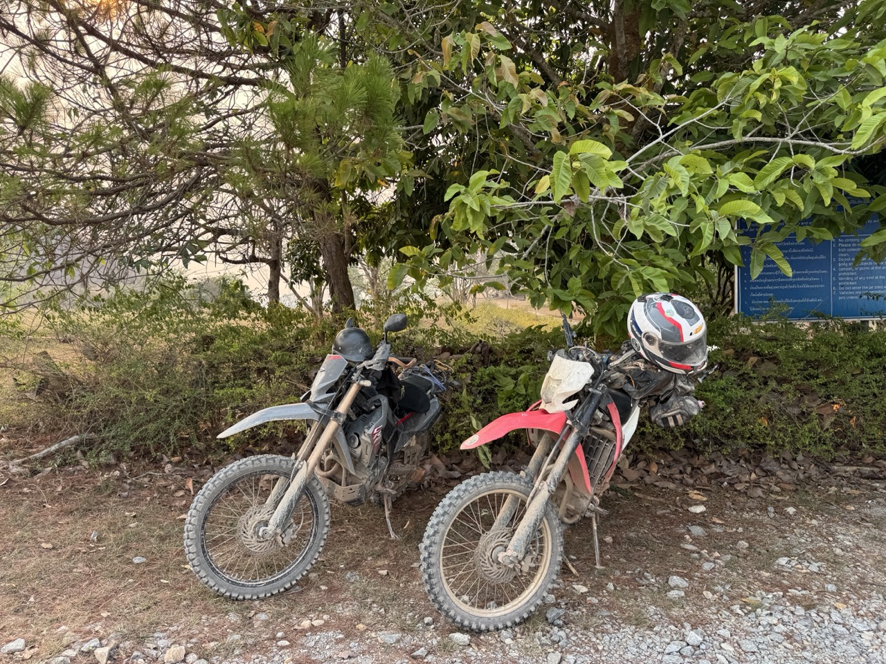
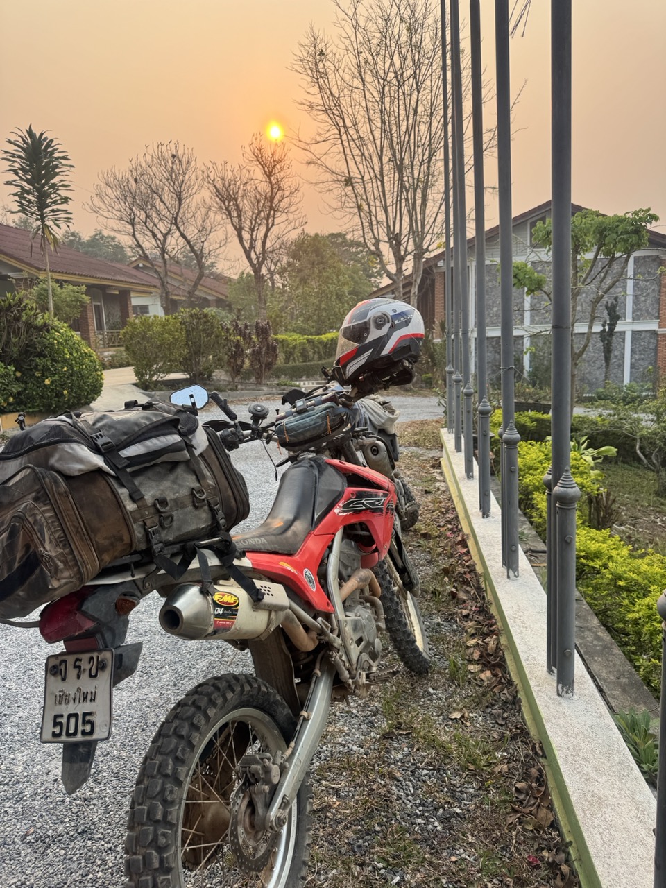
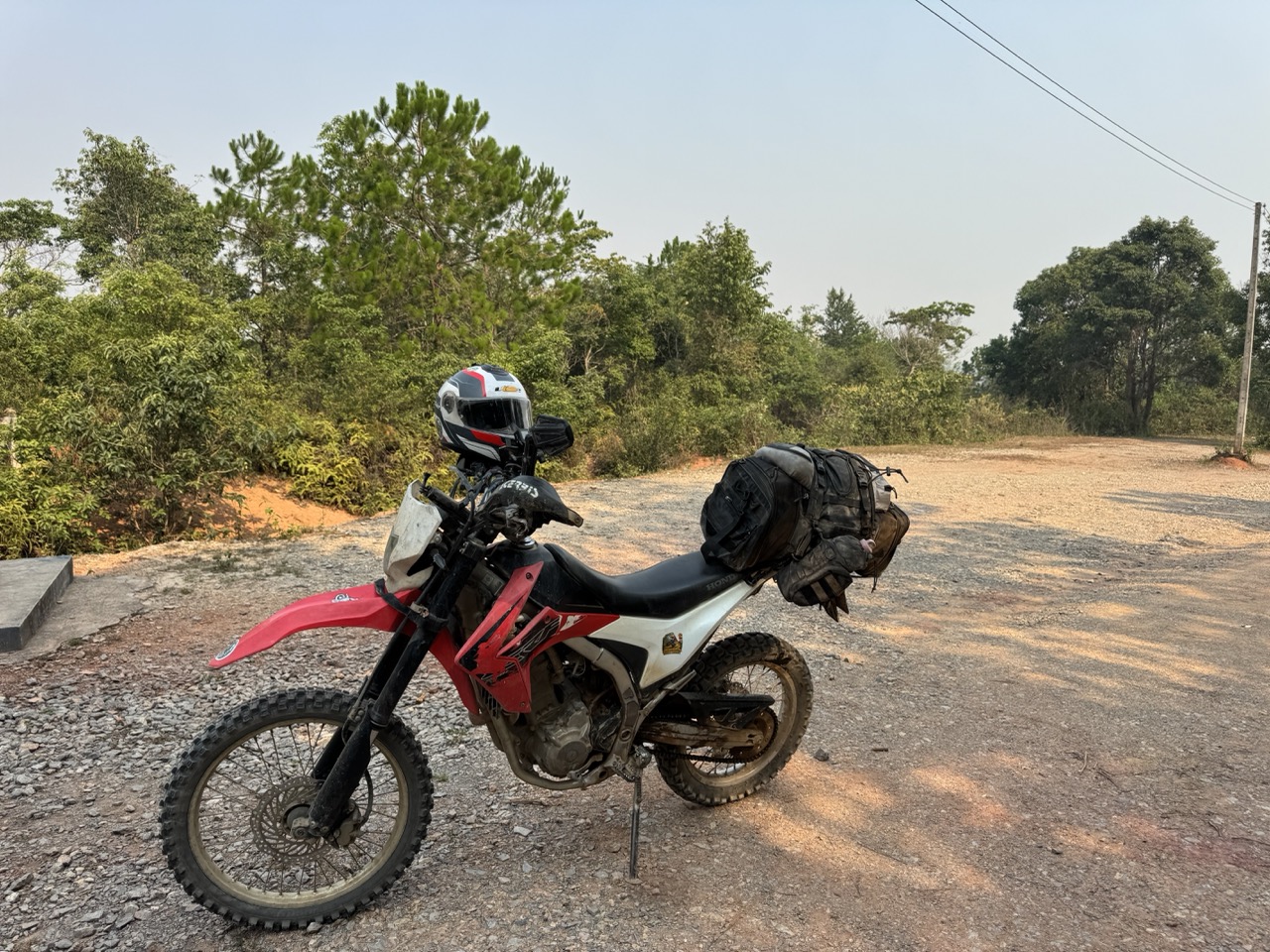
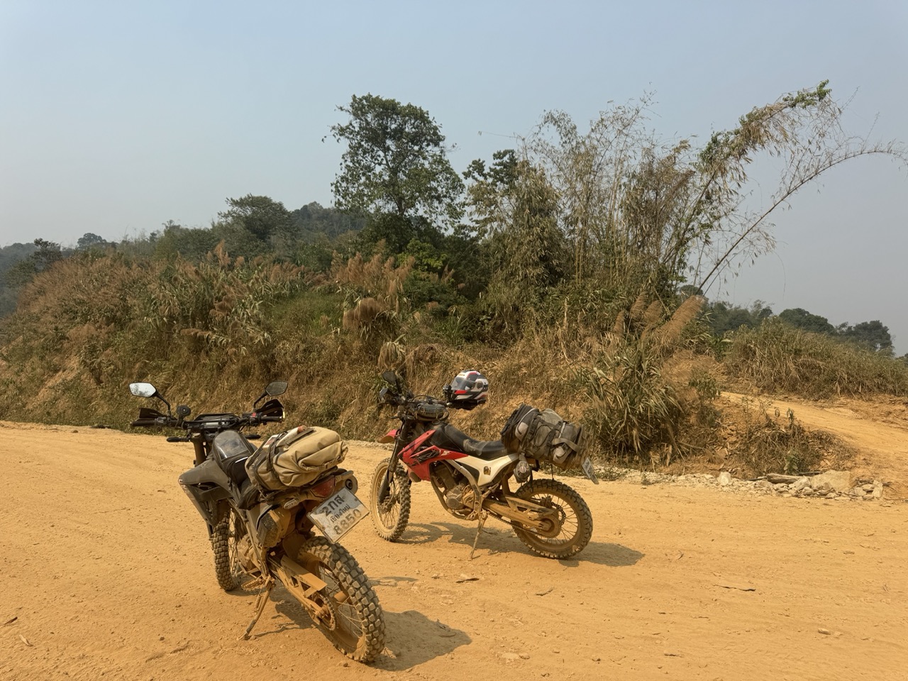
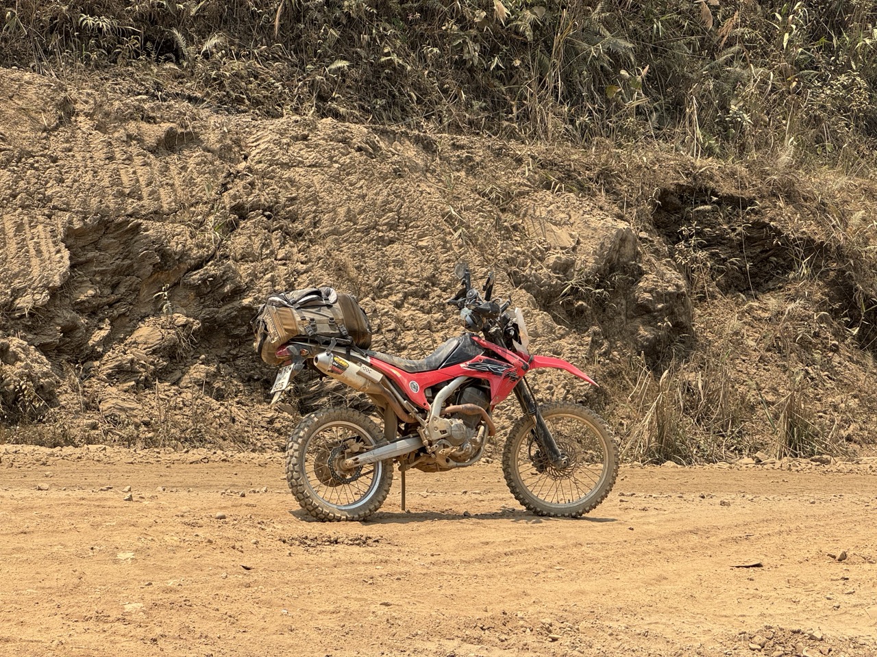
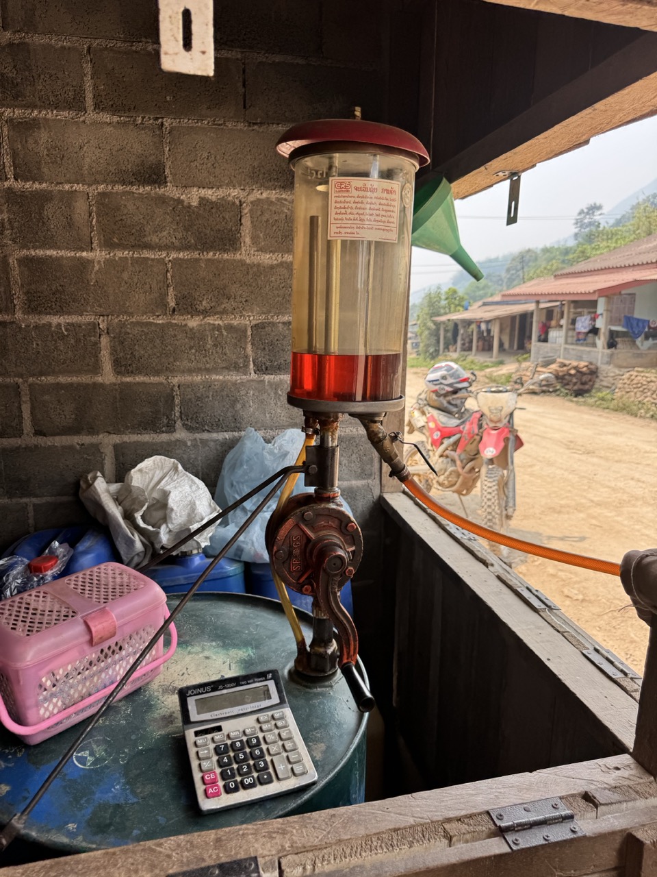
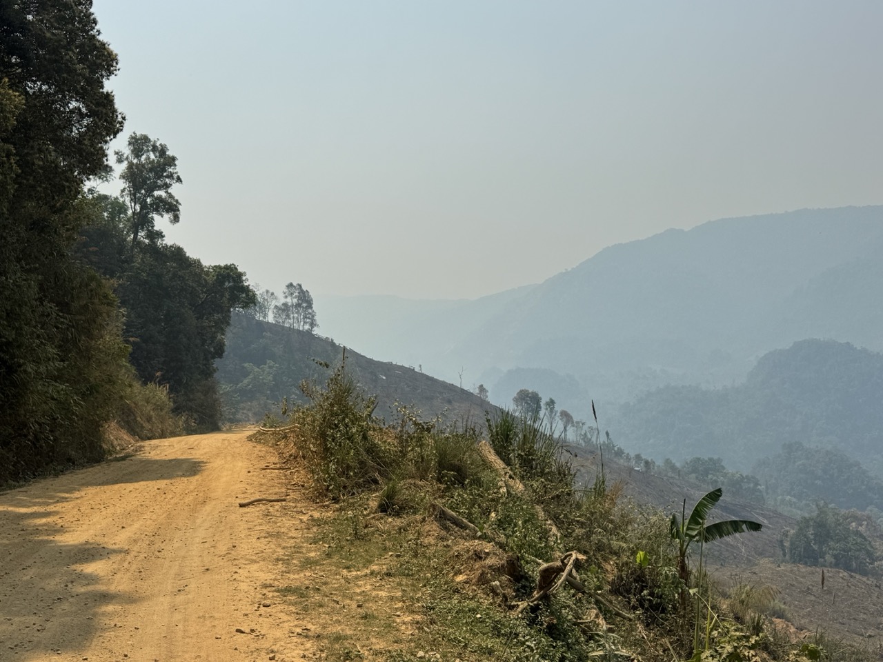
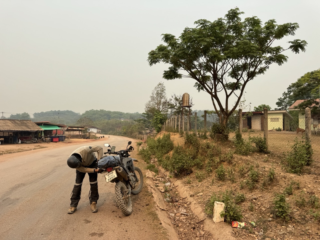
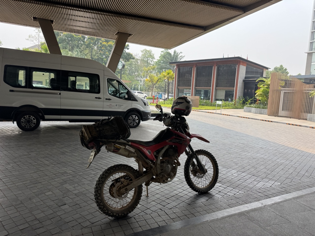
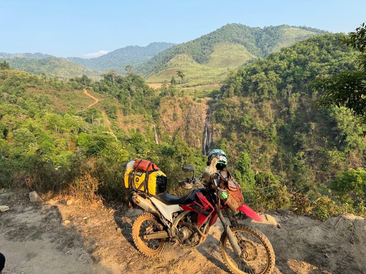
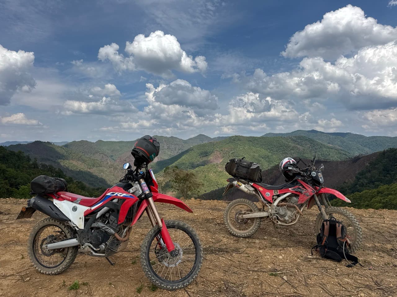
The interesting riding here lives off the spine: the dirt connector from Phonsavan down to Vang Vieng, the unpaved climbs in Oudomxay, the village tracks that branch off the main roads into Hmong and Khmu communities that sit kilometres off any tourist itinerary. A CRF250L or CRF300L (we ran two CRFs the whole way) is the right tool for this — light enough to handle the loose, dusty switchbacks, comfortable enough on the long sealed transits, and a tank range that gets you between the smaller fuel stations of central Laos without panic.

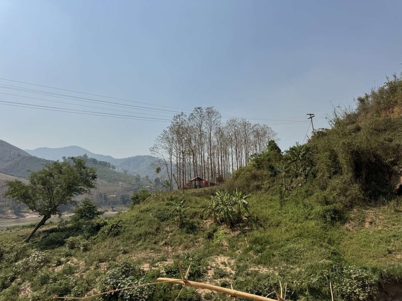
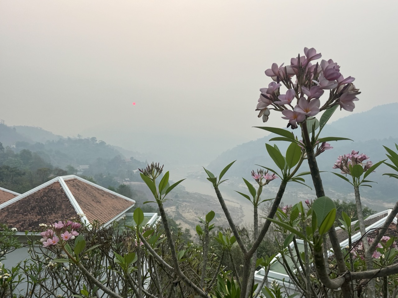
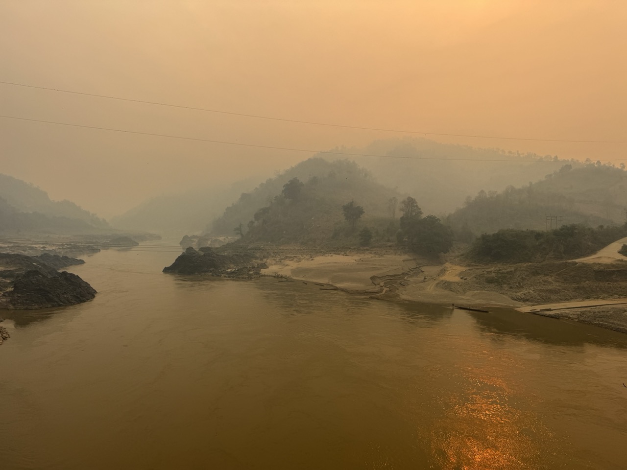
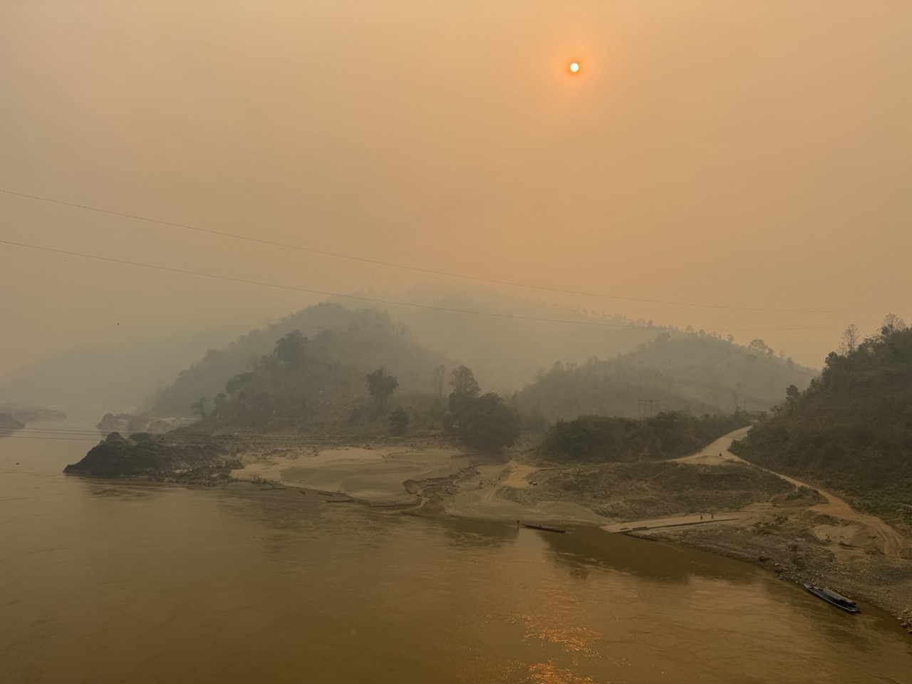
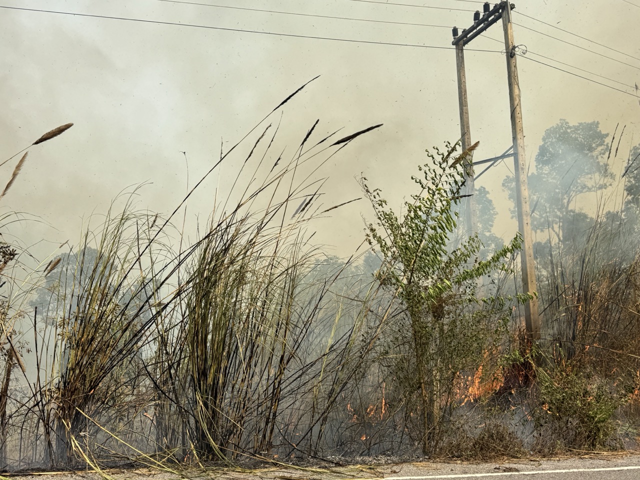
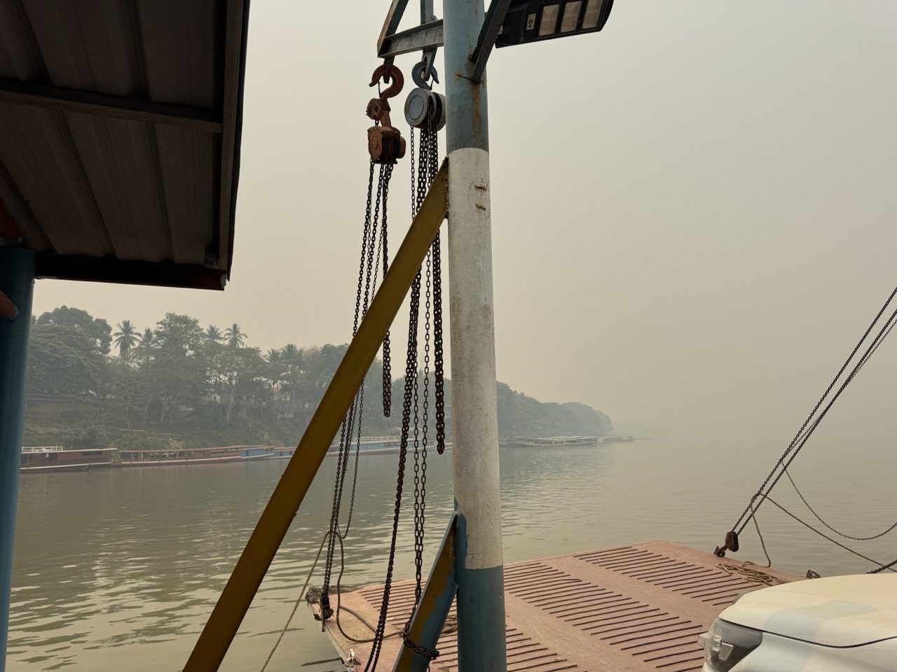
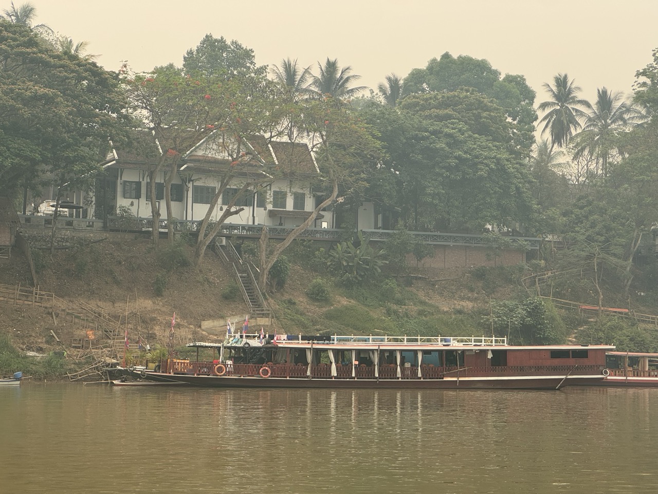
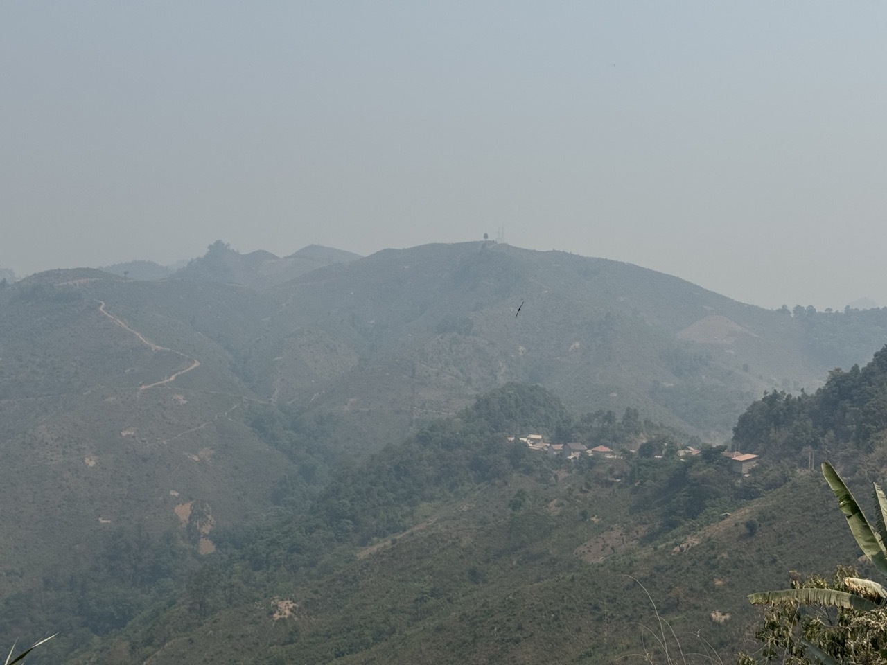
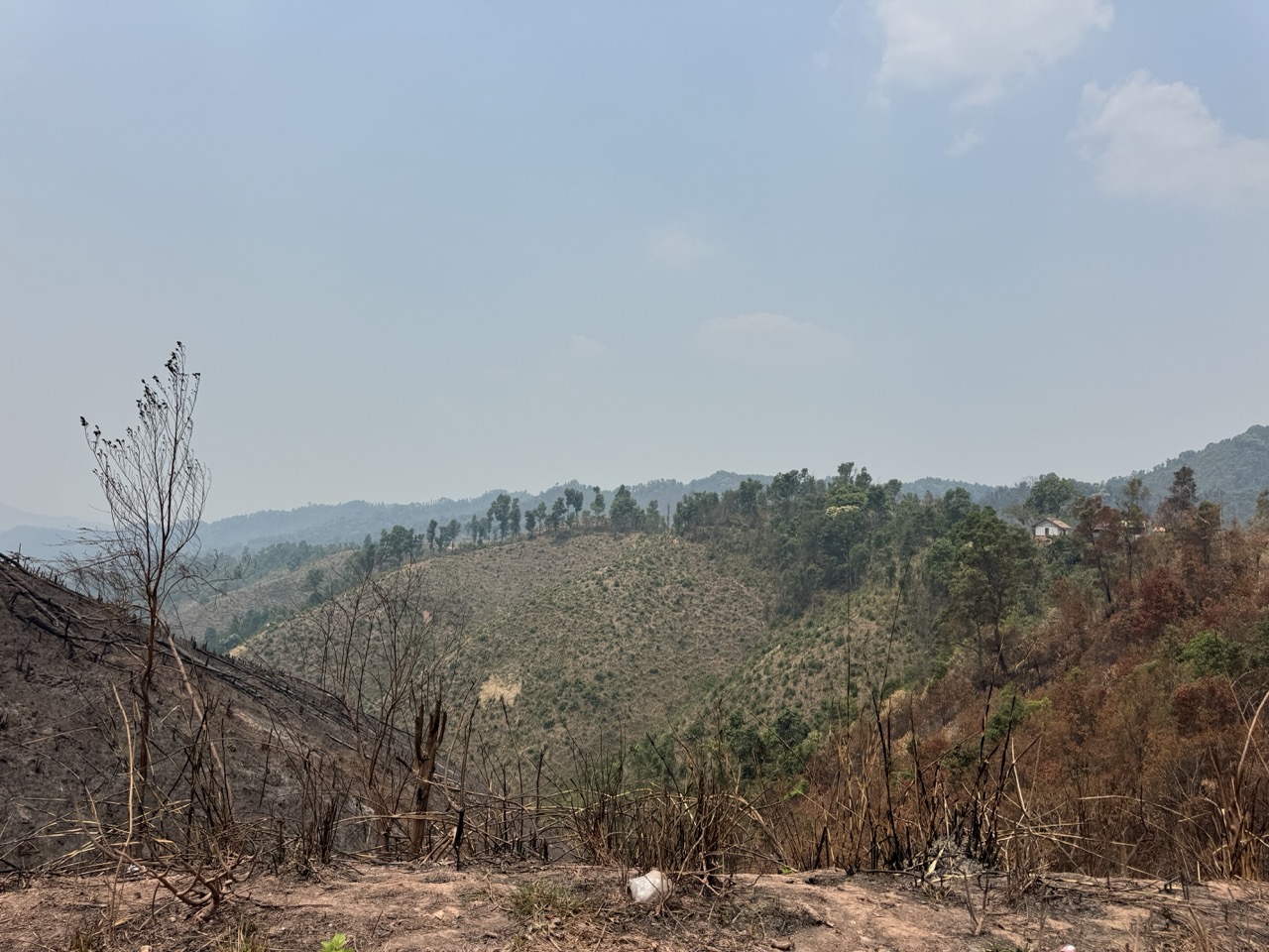
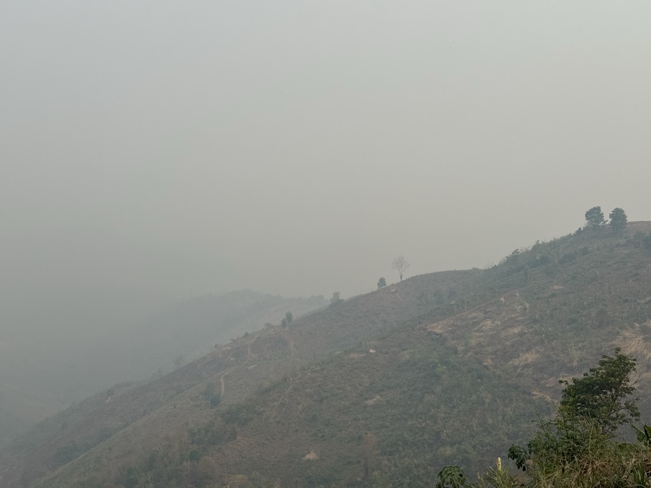
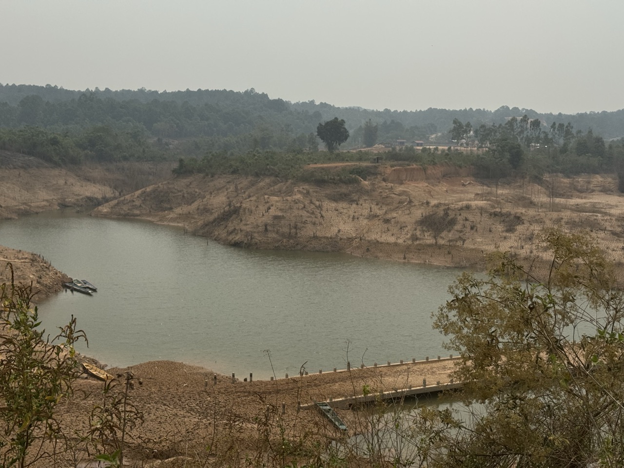
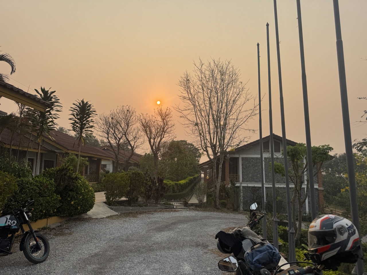
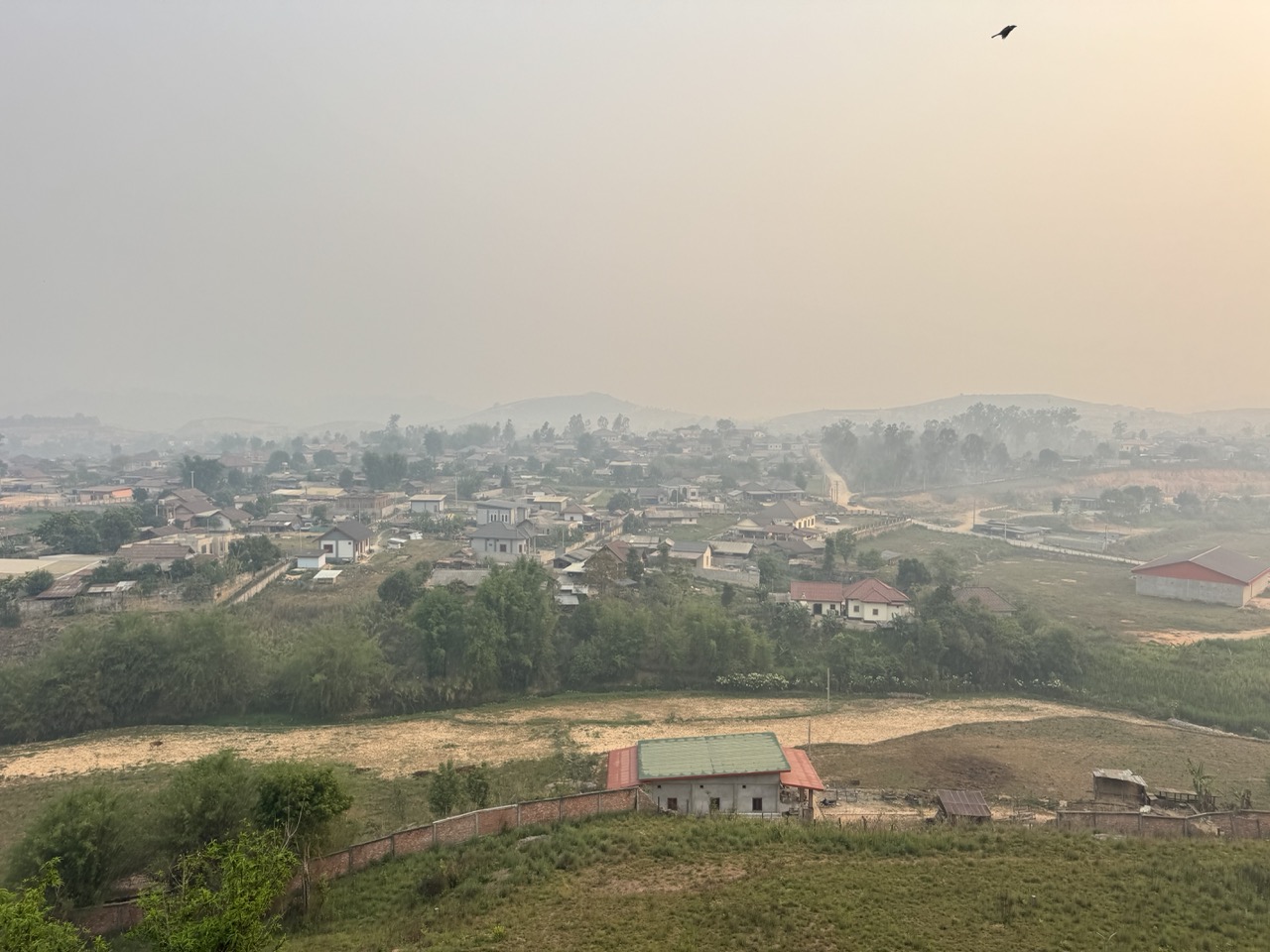
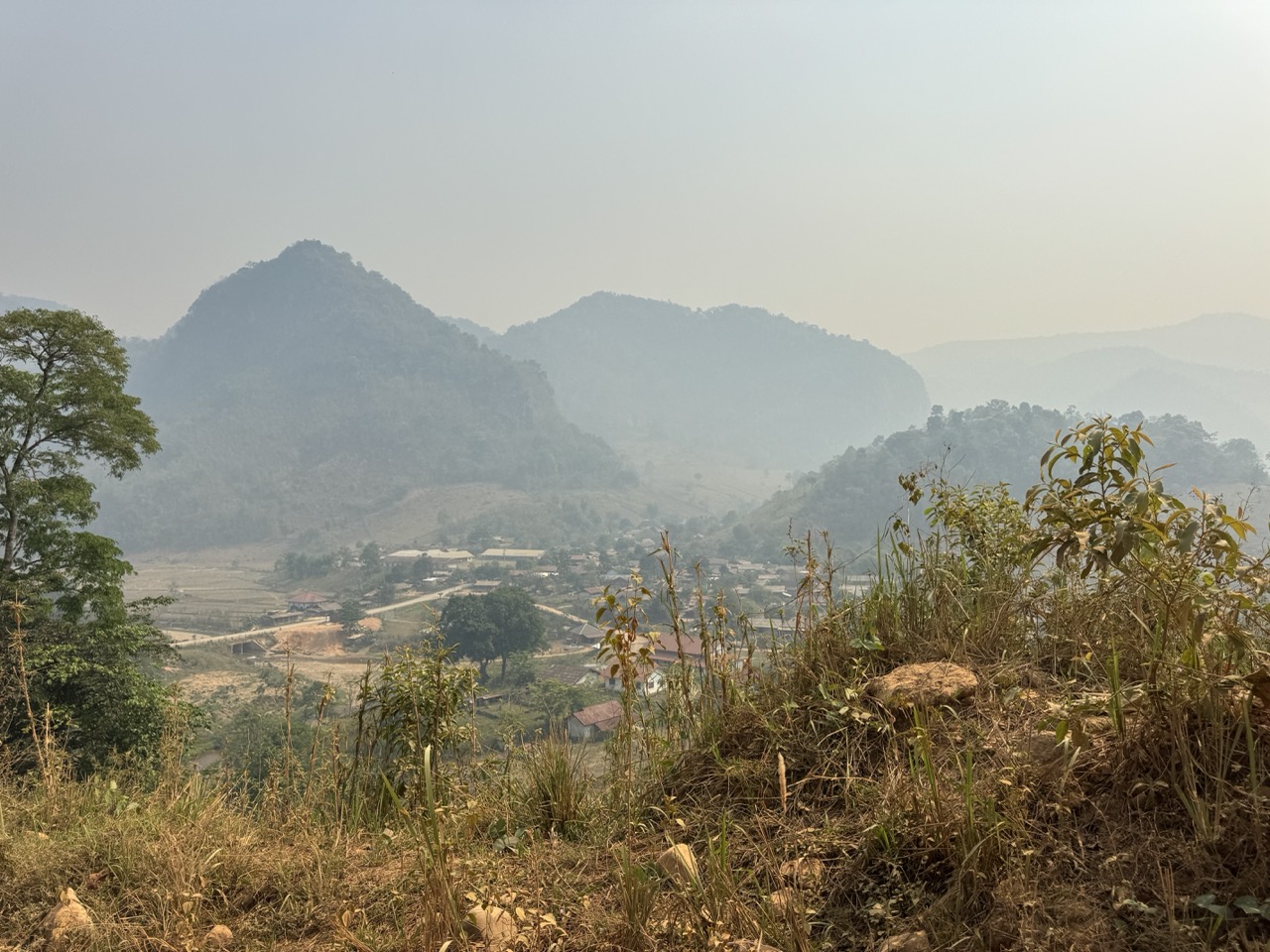
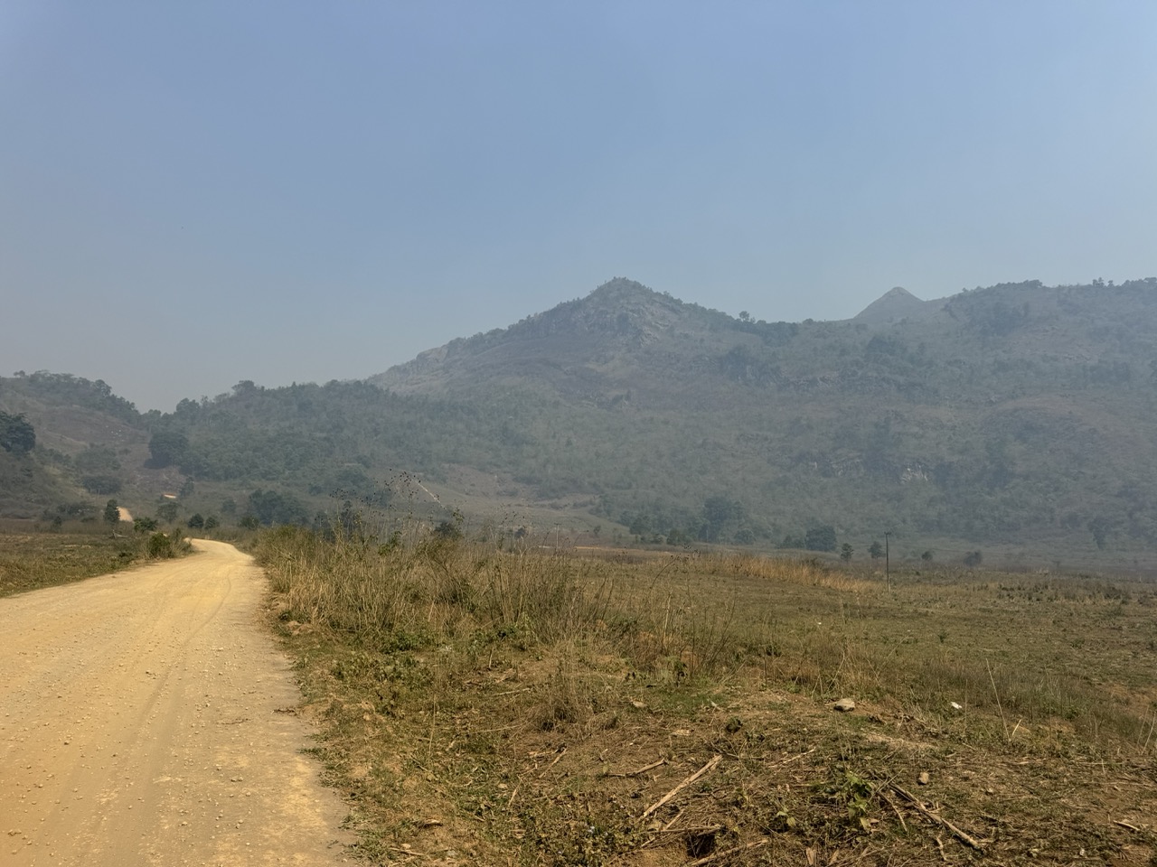
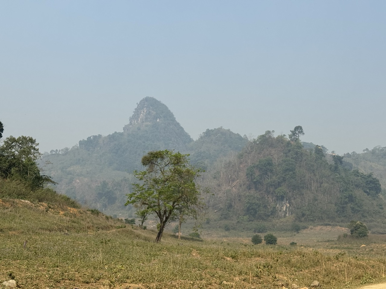
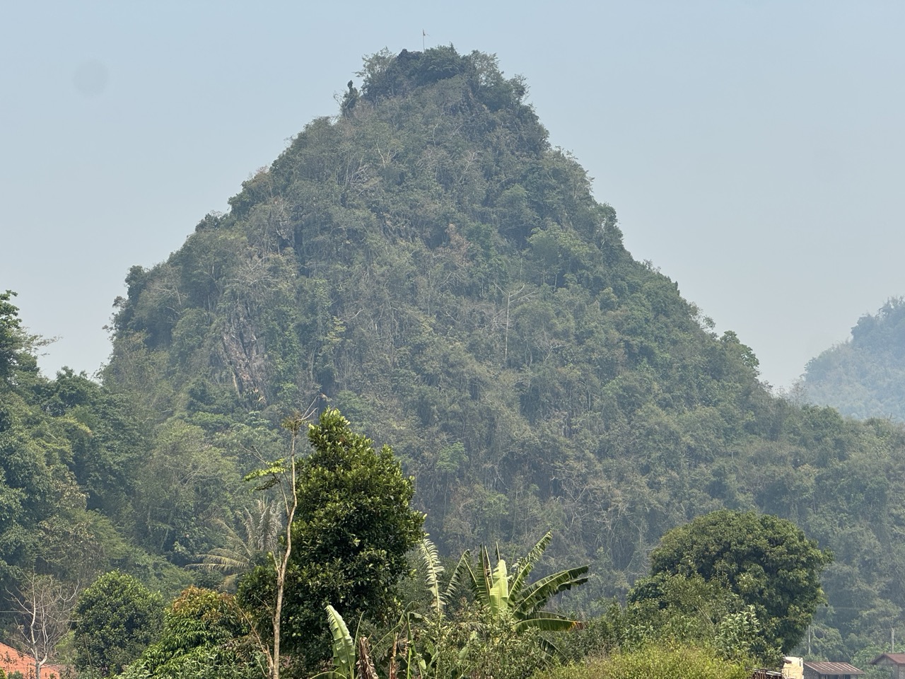
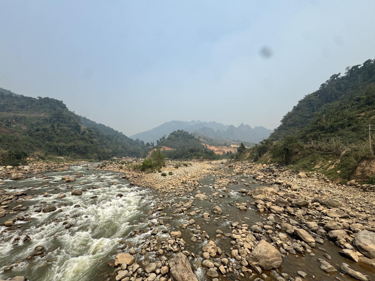
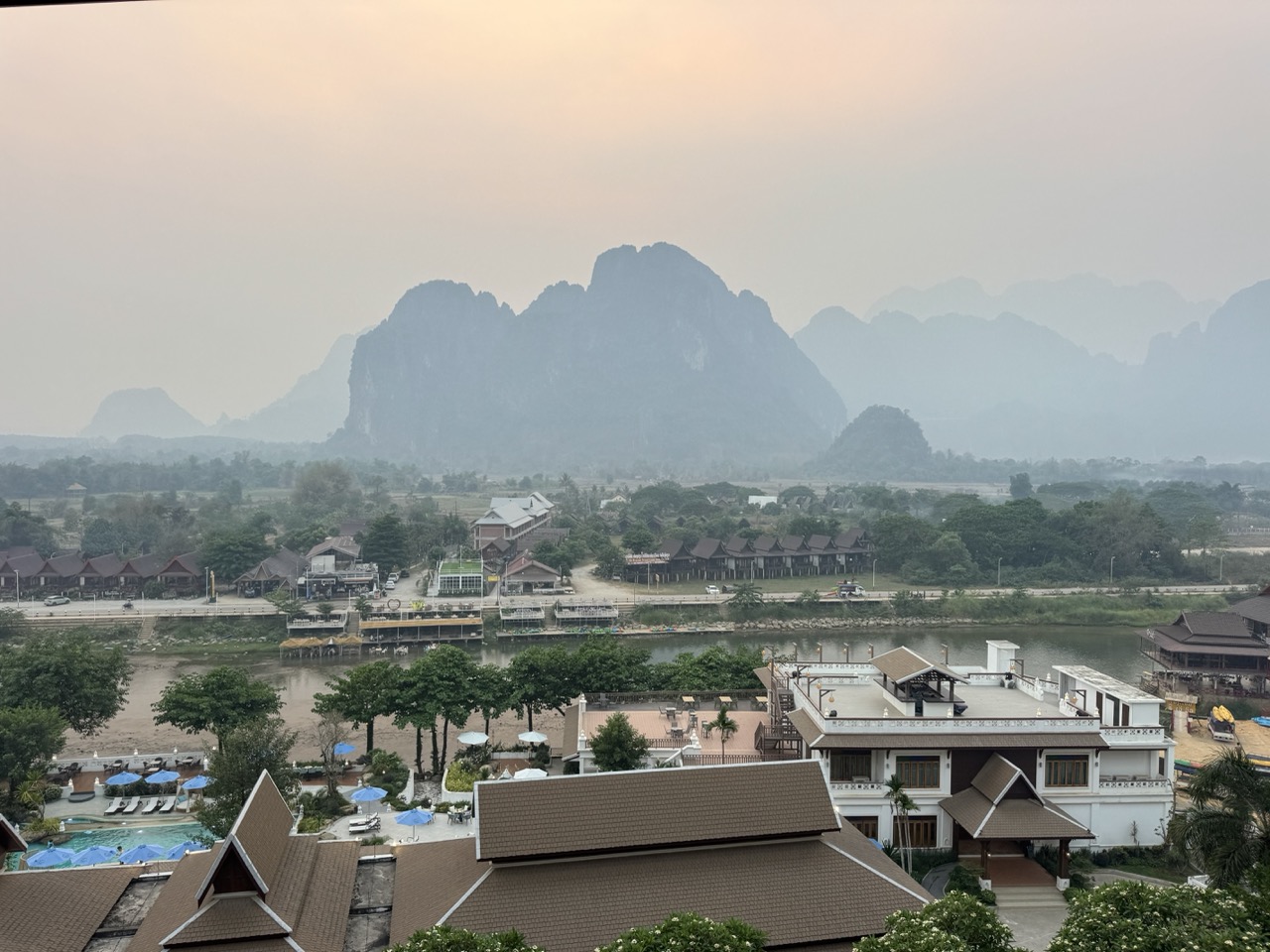
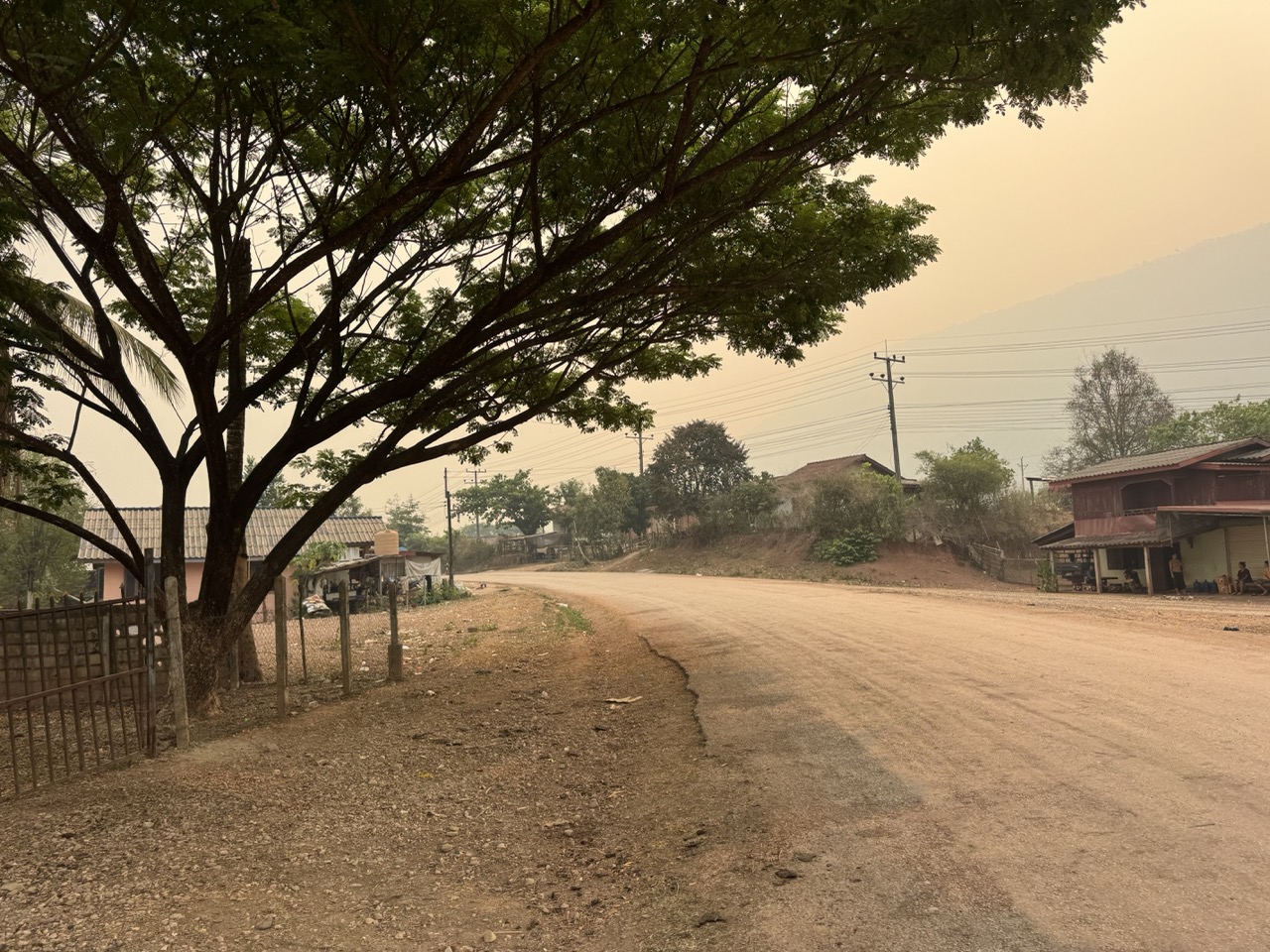
Heads up on the season: we rode in mid-April, which is the absolute peak of burning season across Northern Thailand and Laos. Visibility was poor on most ridge sections — the layered mountain shots in this article are all hazy because the air really was that hazy. The trade-off was bone-dry trails and almost no traffic. December through February is the textbook window if you want clean air and clear views.

Day 1 — Chiang Mai to Pak Beng (~216 km)

Day 1: Chiang Mai → Chiang Khong border → Huay Xai → Pak Beng. The Lao section is the eastern half — most of the actual riding is on the Lao side of the Mekong.

Day 1 is mostly logistics. You ride from Chiang Mai up to Chiang Khong on Route 118 — a few hours of well-known tarmac via Wiang Pa Pao and Mae Suai — and then everything stops while you do the border. Allow a couple of hours, including the queue at Lao immigration on the far side.

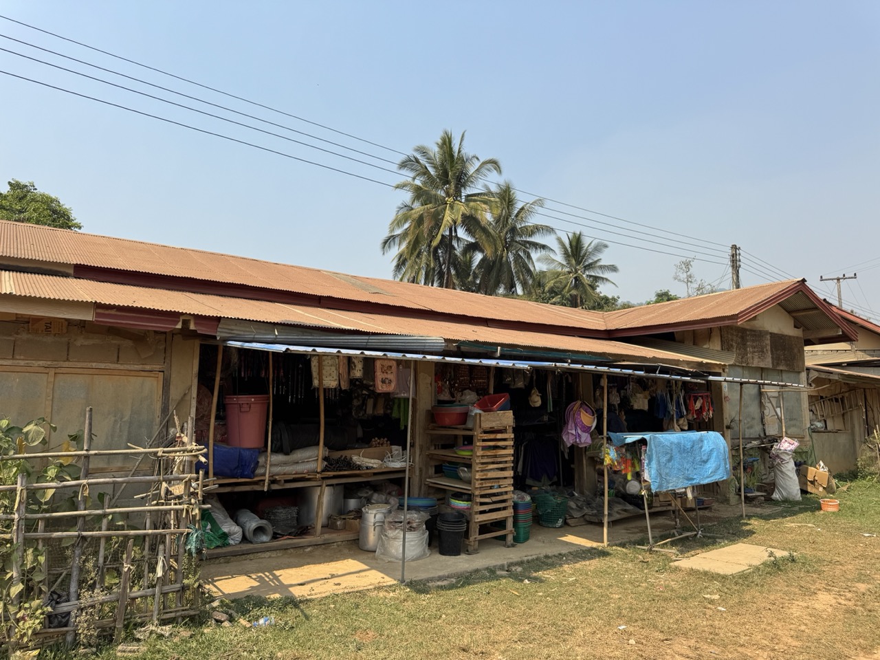
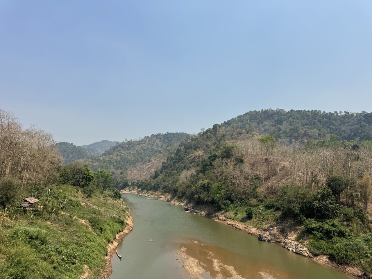
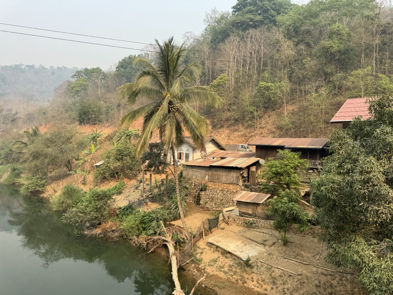
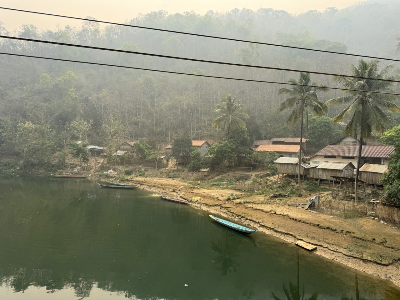
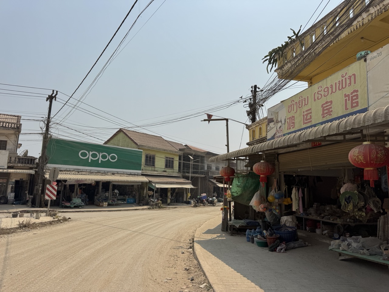
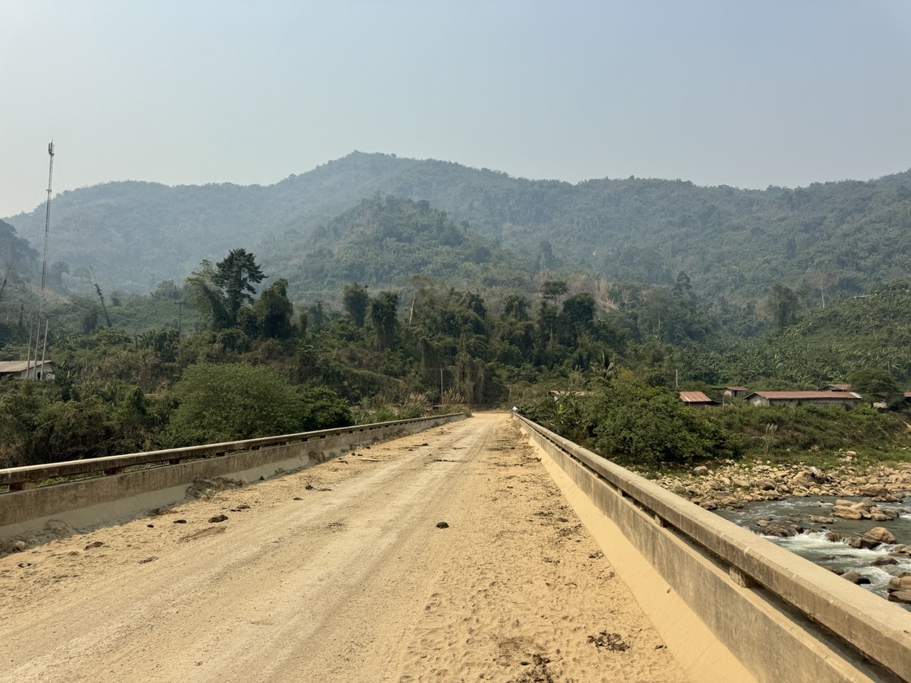
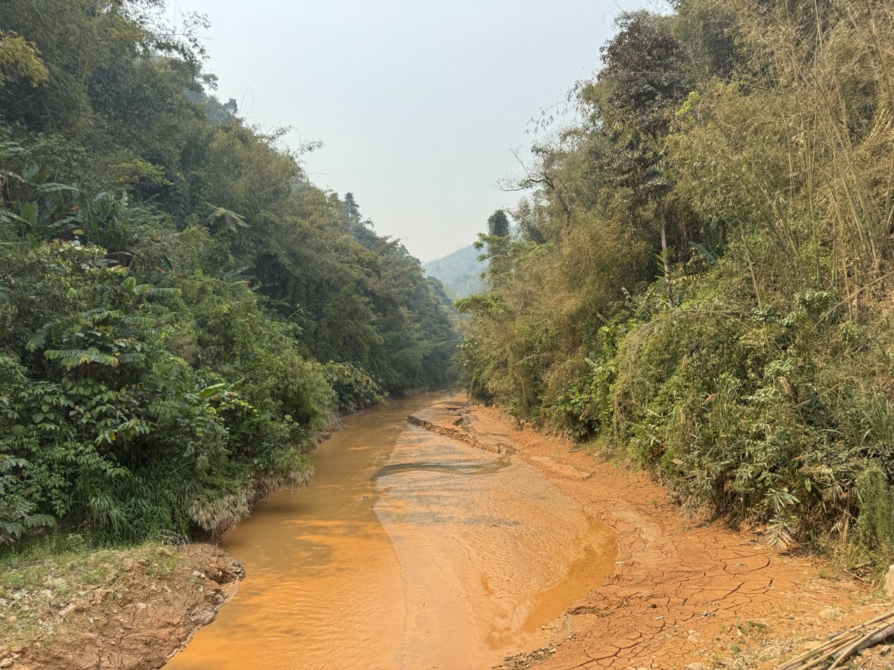
Once you're across the bridge into Huay Xai, the trip really starts. The road south to Pak Beng (Route 4) is part sealed, part very dusty. The villages get progressively more wooden, the cars get progressively rarer, and the Mekong is somewhere off to your right behind the ridges, occasionally appearing through a gap.

Riding the dusty Lao section on the way down to Pak Beng.
A water stop on a dusty mountain road. You drink water on the hour, every hour, in April.
A hillside village hut nested in the trees. Most settlements you pass on this leg are like this — small, wooden, working.
The 'main' road through a typical Lao village. Slow down, wave, keep going.
A village shophouse with the standard Lao corrugated roof. Cold drinks inside, snacks if you're lucky, a charging socket if you ask nicely.
River bend viewed from one of the many small bridges on the way down.
Wooden truss bridge — wait your turn for the truck. Half the bridges in northern Laos are still single-lane affairs.
A breather in a rocky clearing about an hour out from Pak Beng.
The drop into Pak Beng at golden hour.

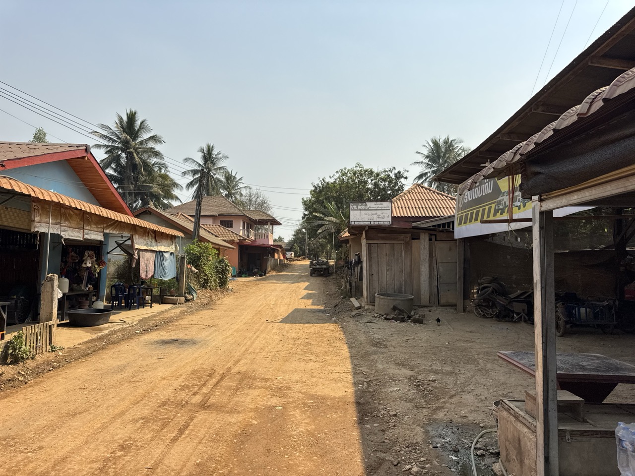
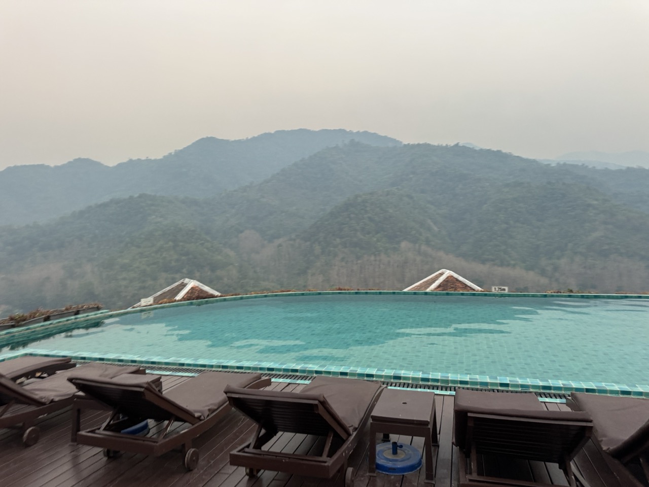
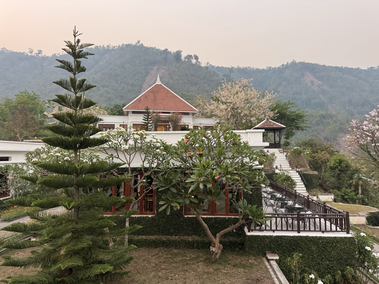
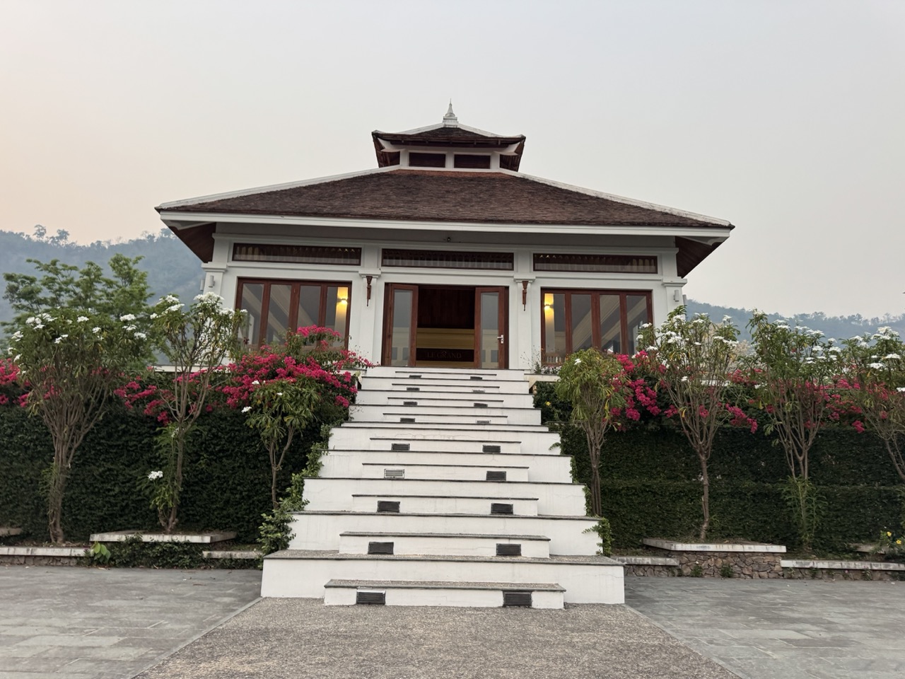
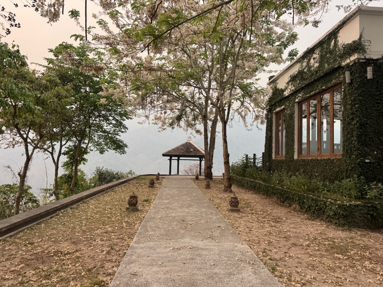
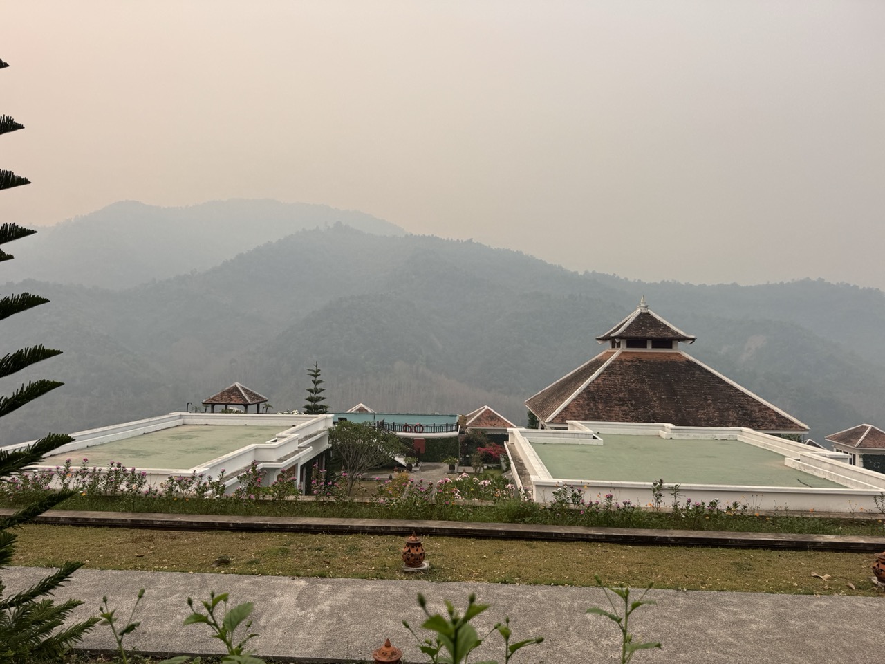
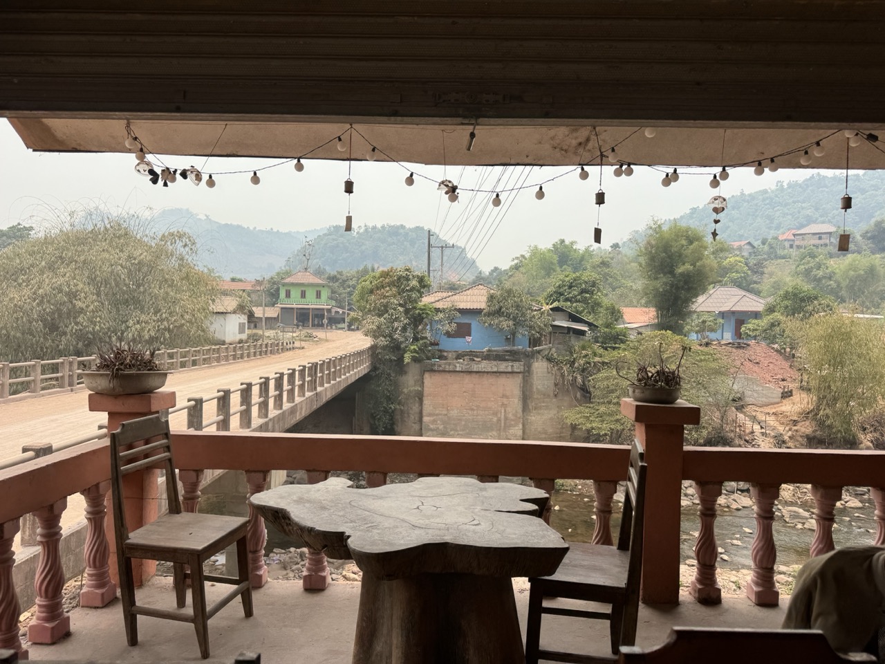
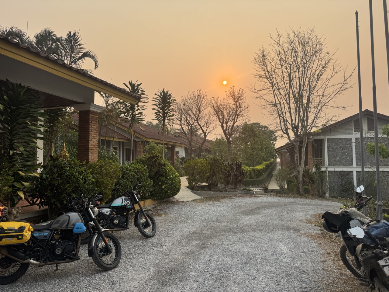
We rolled into Pak Beng tired, dusty, and ready to see the end of the day. Pak Beng is a small Mekong river town that exists mostly because the slow boats from Huay Xai stop here on their way to Luang Prabang — half of it is guesthouses for boat passengers, half of it is the actual life of the town. We checked into Le Grand Pakbeng Resort, which sits up on the slope above the river with an infinity pool that points across the Mekong toward the Thai bank. After a 200km dusty day this is exactly the kind of overcorrection your body wants.

Le Grand Pakbeng's infinity pool above the Mekong — the misty mountains on the far side are Thailand.
The main building, framed by frangipani.
Spa pavilion. We did not visit the spa pavilion. There were noodles to eat.
Lao soup and sticky rice at the resort restaurant. The first proper Lao meal of the trip.
Fried Mekong fish skewers. Eat them while they're hot.
Evening at Le Grand Pakbeng. The Mekong somewhere out there beyond the lights.

Day 2 — Pak Beng to Luang Prabang (~218 km)

Day 2: Pak Beng → Oudomxay → Luang Prabang. A long, varied day with a stop in Oudomxay province in the middle.
Sunrise from the resort terrace, day two.
Pathway through the resort grounds on the way to breakfast.
Terrace pavilion roofline against the morning sky.

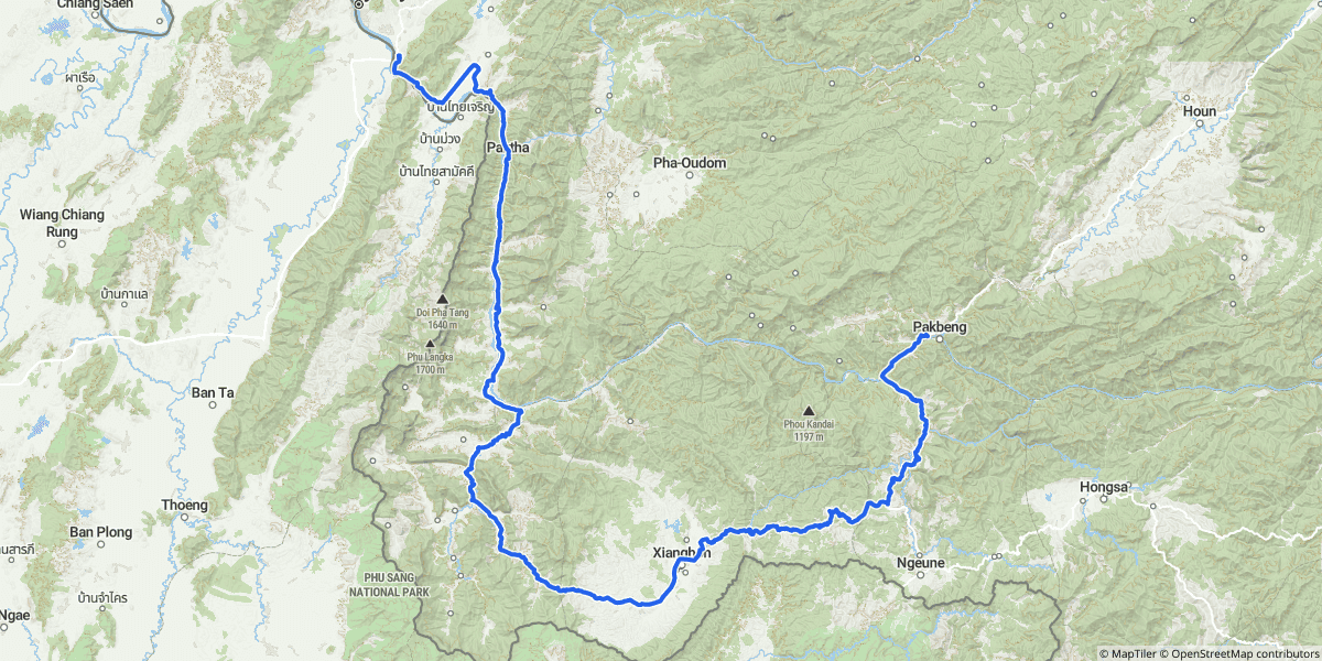
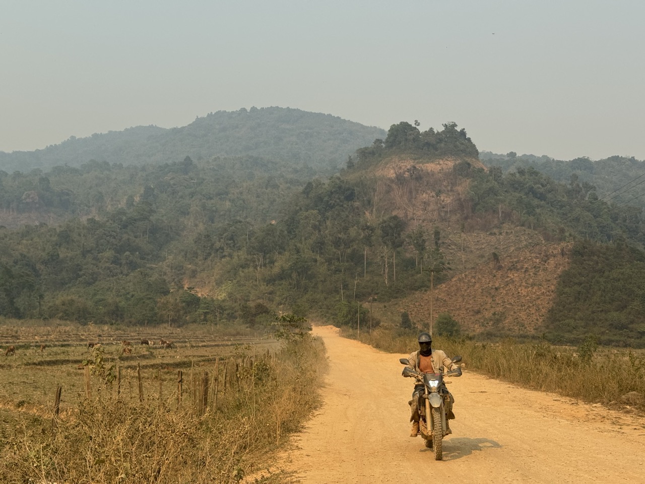
We left Pak Beng in the cool of the morning. The road climbs immediately out of the river valley, switchbacks up onto the ridge, and runs east through Oudomxay province with the Mekong dropping further and further behind you. The first hour or two is some of the best riding of the trip — empty road, low sun through smoke haze, mountain air that's still cool.

Hazy dawn river bend, viewed from a cliff pull-out climbing east out of Pak Beng.
Sunrise over the Mekong, climbing east.
Red sun through smoke haze. April in northern Laos is unambiguous about what season it is.
A mountain pass deep in Oudomxay province.
Roadside grass fire — the source of half the haze. You ride past, you don't stop.
A village stop in Oudomxay. Kids appeared out of nowhere the moment the engines went quiet.
A Lan Feng gas station fuel stop in Oudomxay. The Chinese chains have largely replaced the old hand-pump operations on the main highway.
The approach to Luang Prabang, late afternoon.

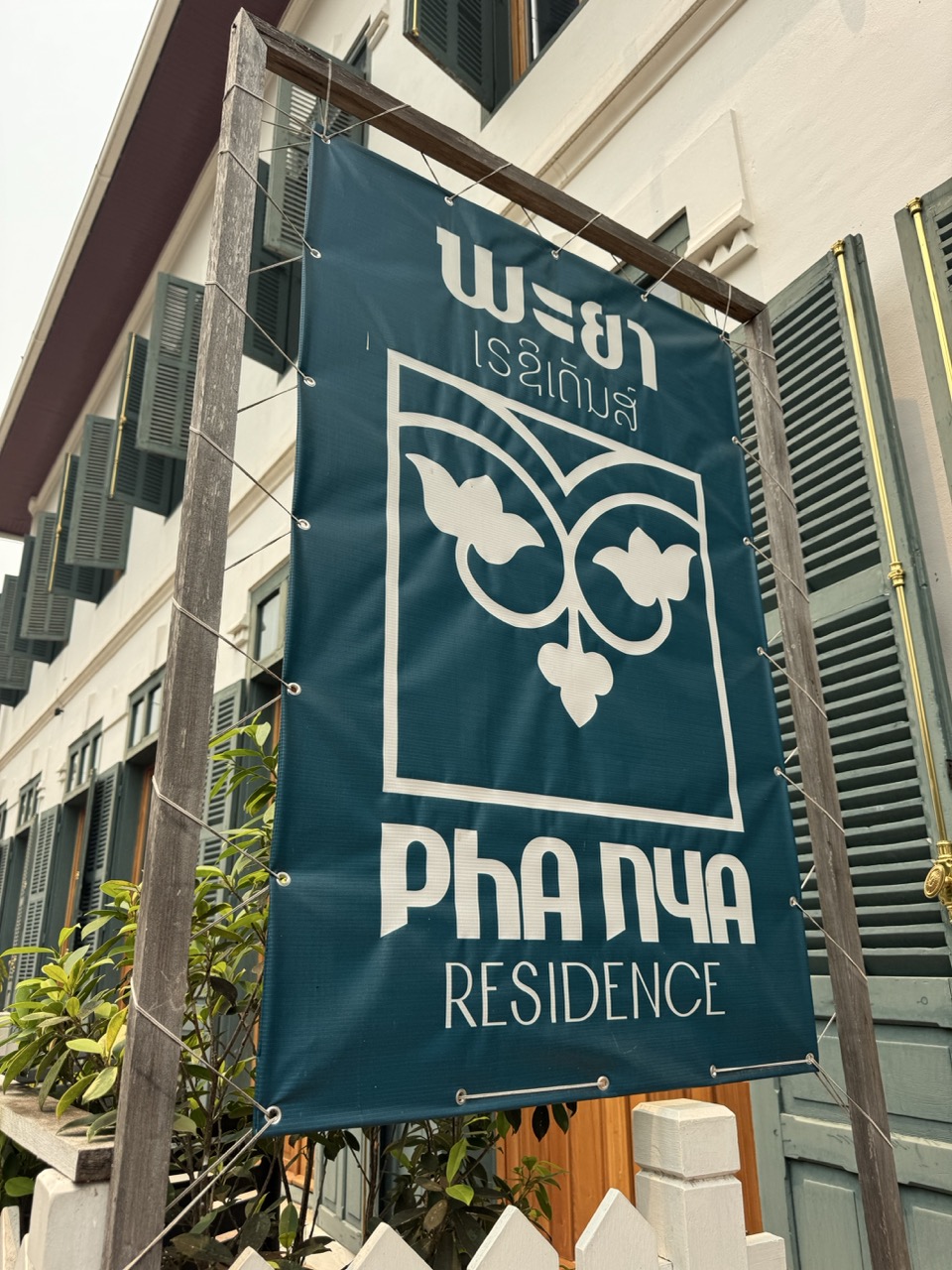
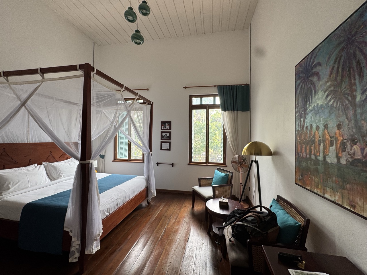
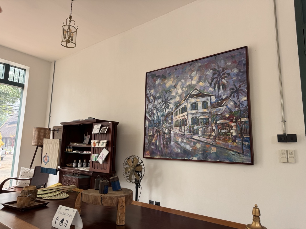
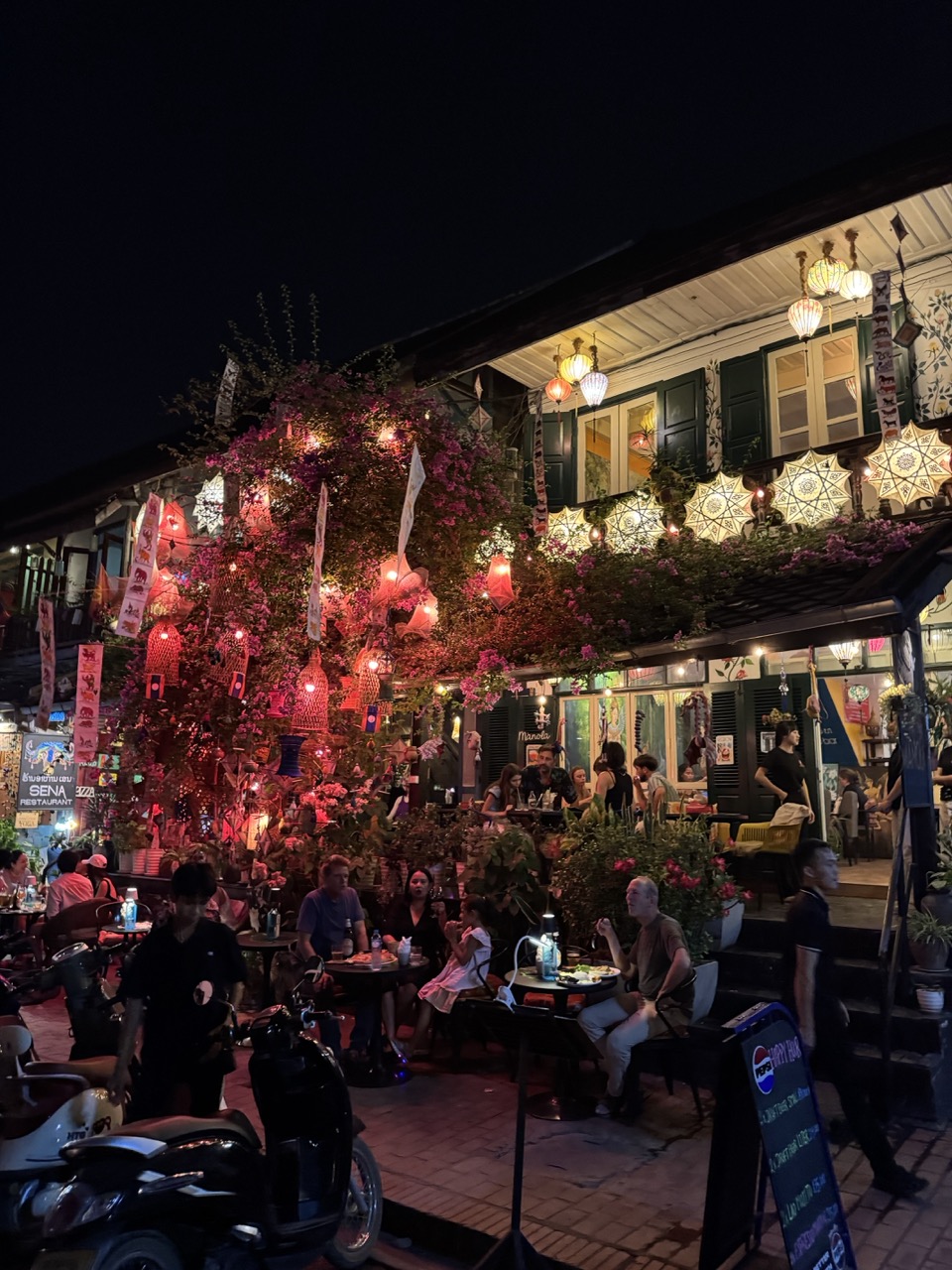
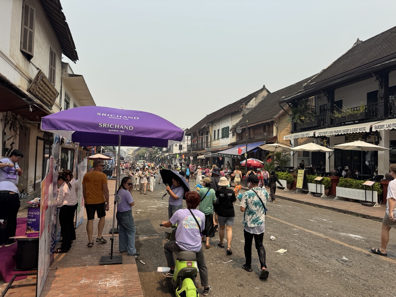
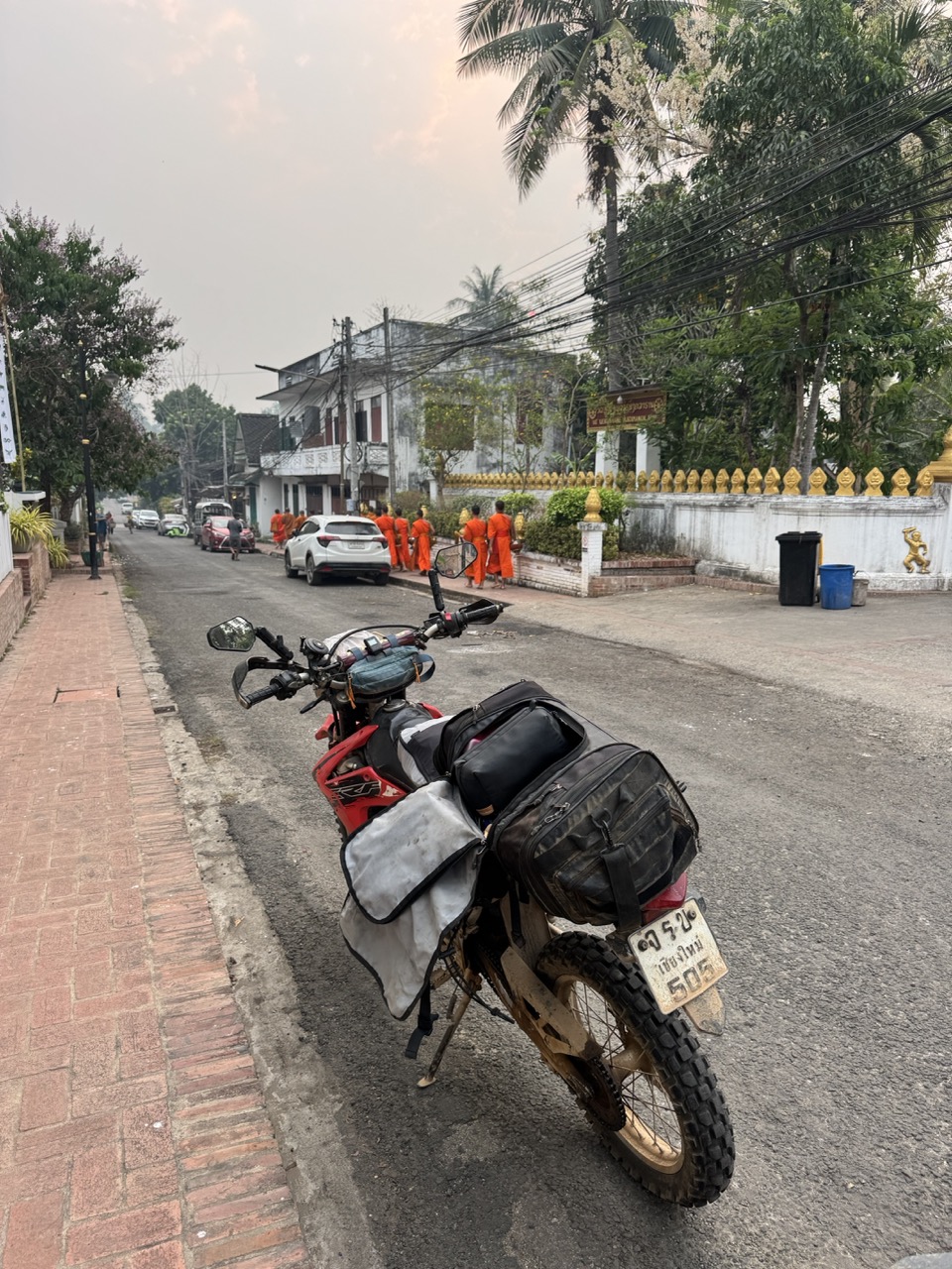
We pulled into Luang Prabang as the light went and Pi Mai was already in full swing. Streets were closed, every other person had a water gun or a bucket, and the lanterns were up in front of the wats. We got the bikes off the main streets, found Pha Nya Residence — a small heritage guesthouse on a quiet side street — and unloaded under the watchful eye of the night manager, who took one look at the bikes and asked if we'd been targeted by the water yet. Yes, several times.

Pha Nya Residence sign — small, wooden, easy to walk past.
Four-poster room at Pha Nya Residence. Old colonial bones, fresh sheets.
Lobby oil painting at Pha Nya. The whole place is full of these.
Night street lit by Pi Mai lanterns and bougainvillea. We walked into town for dinner and got soaked.
A gabled wat below Phou Si stupa, lit up at night.
Wat Sensoukharam, gold stupa.

Day 3 — Luang Prabang (forced rest day)

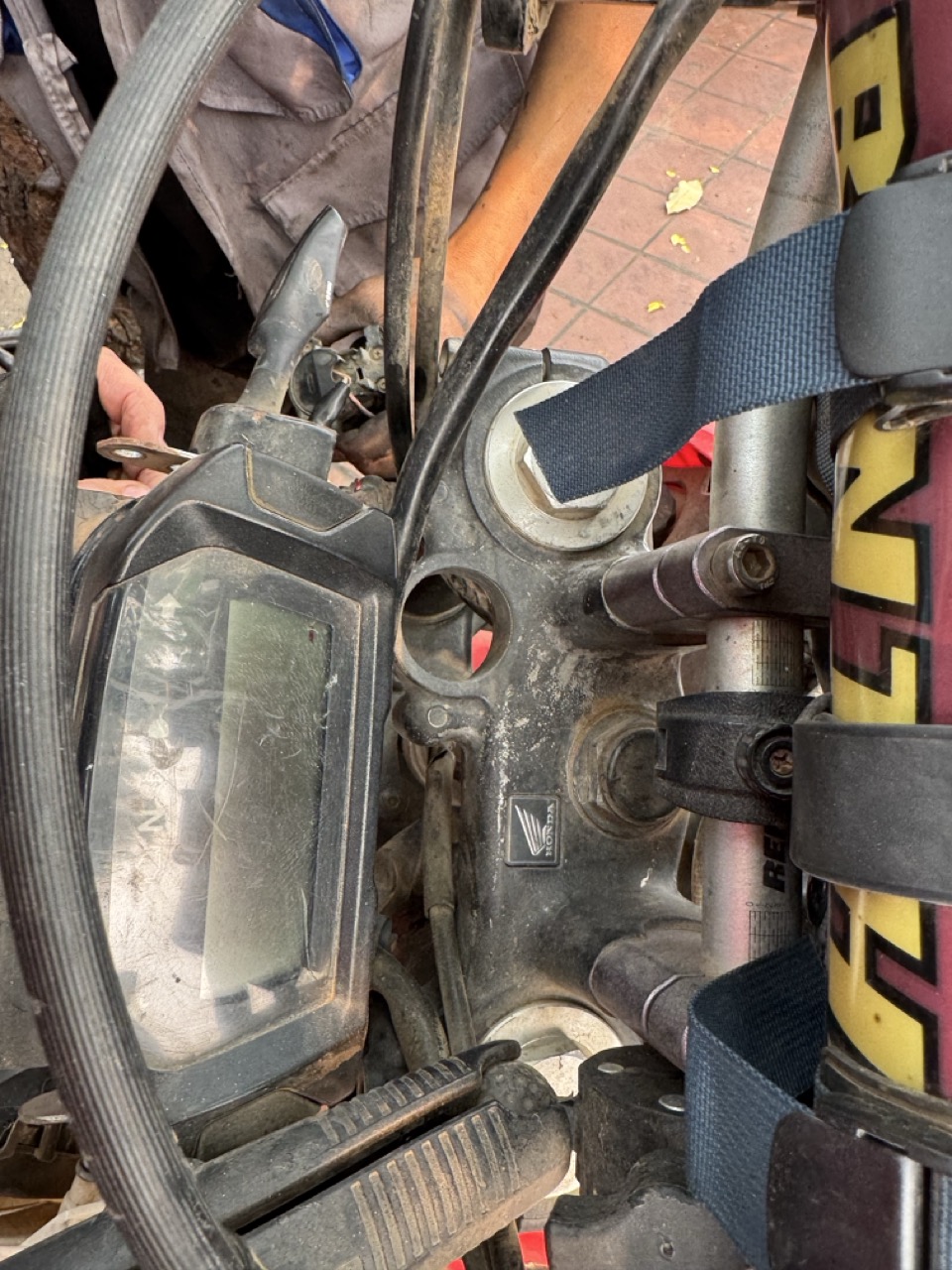
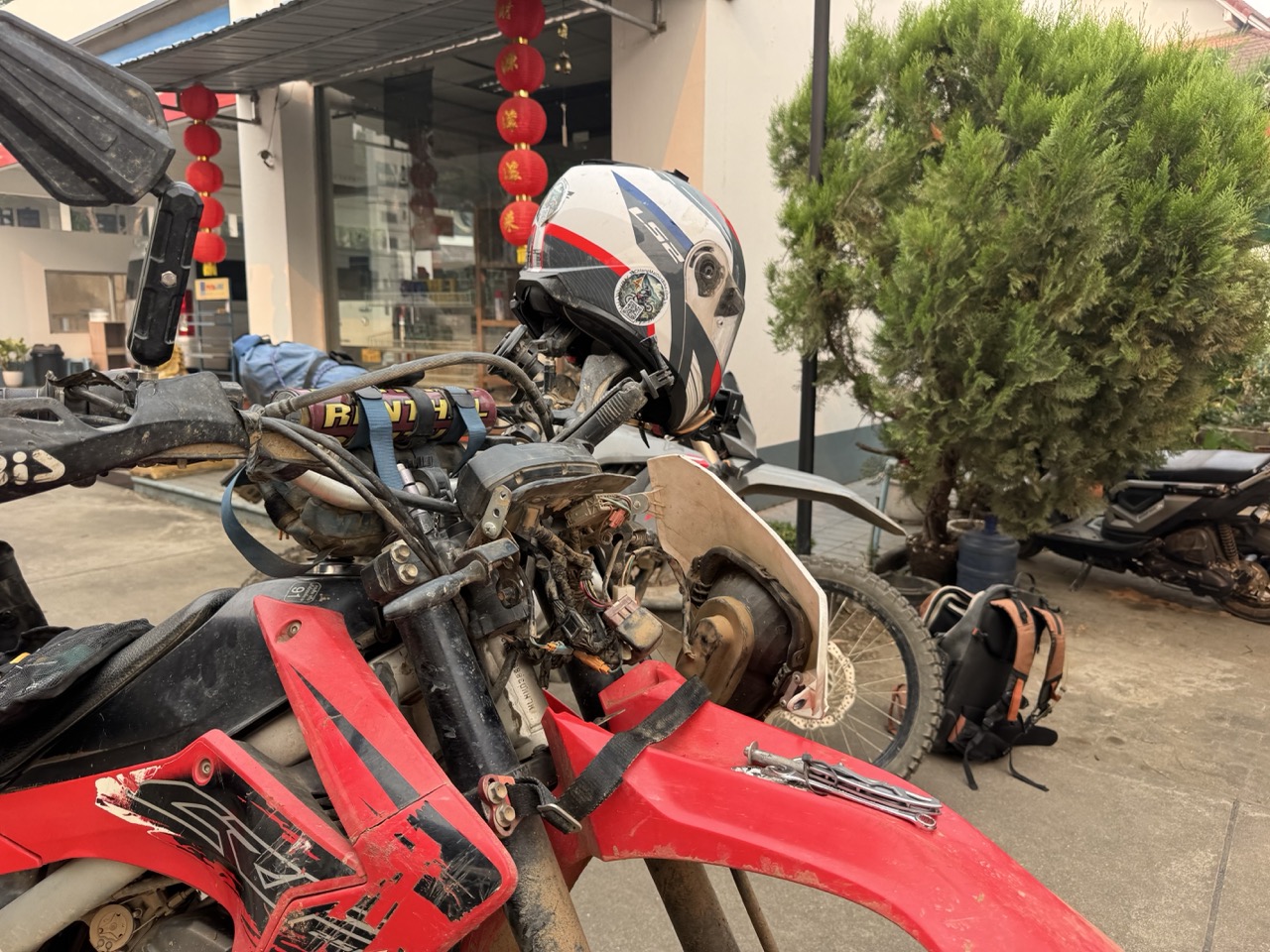
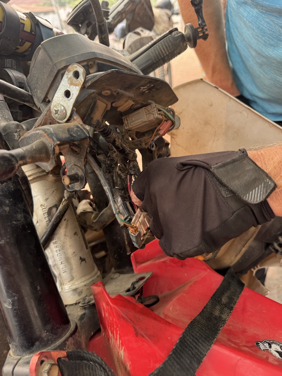
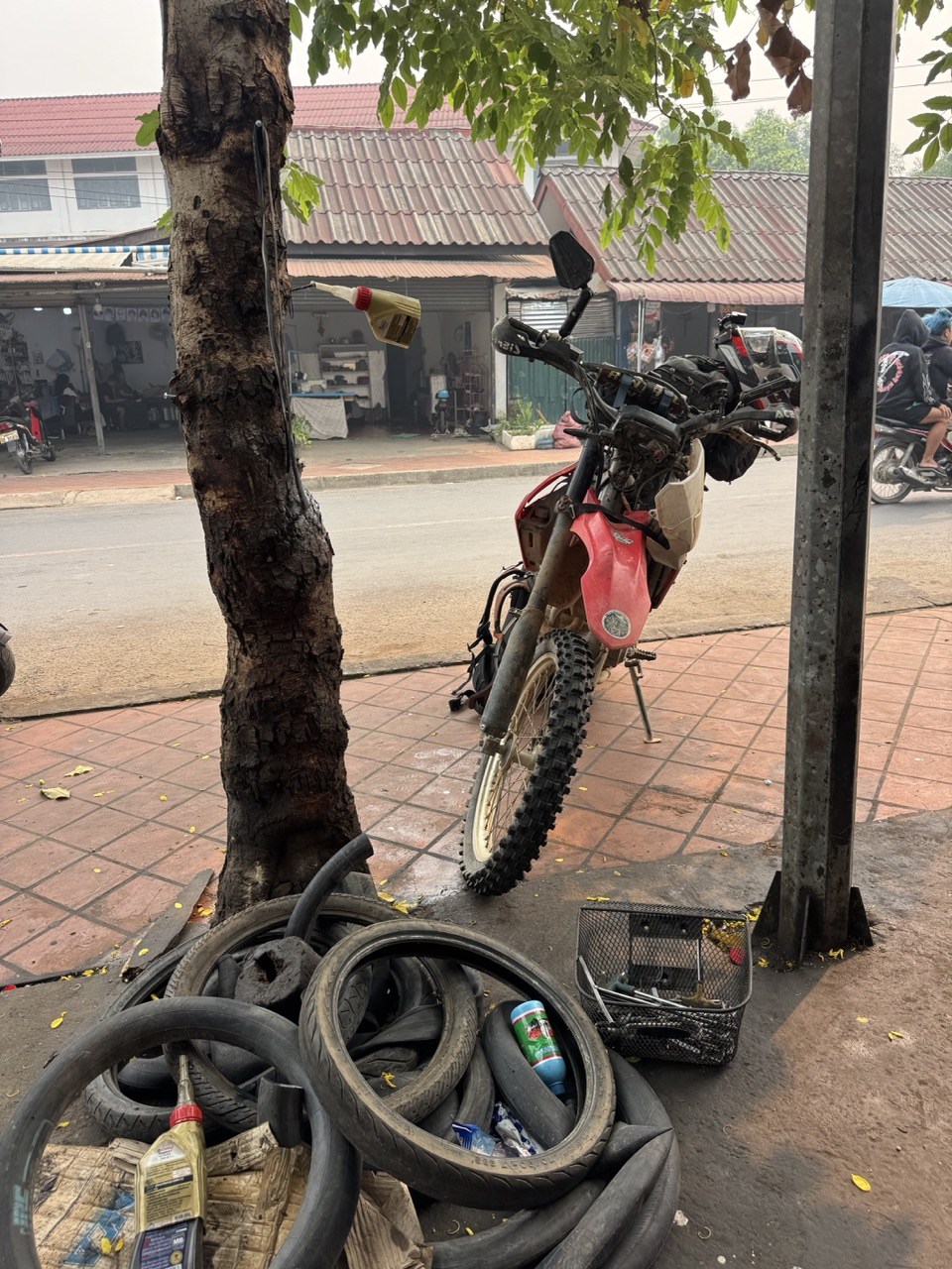
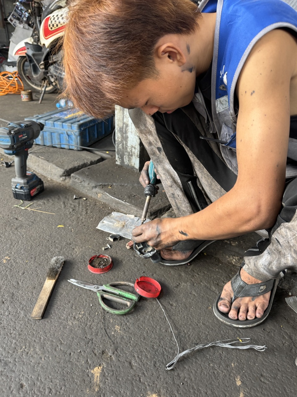
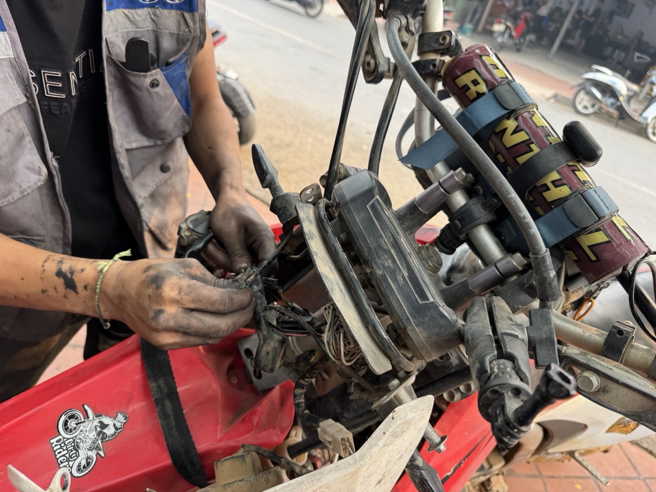
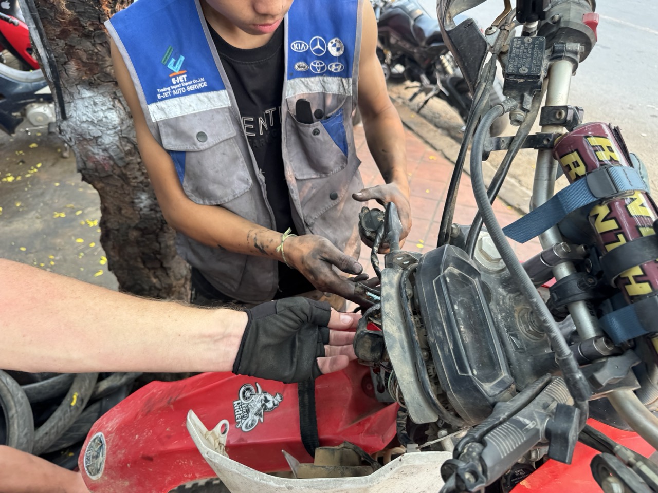
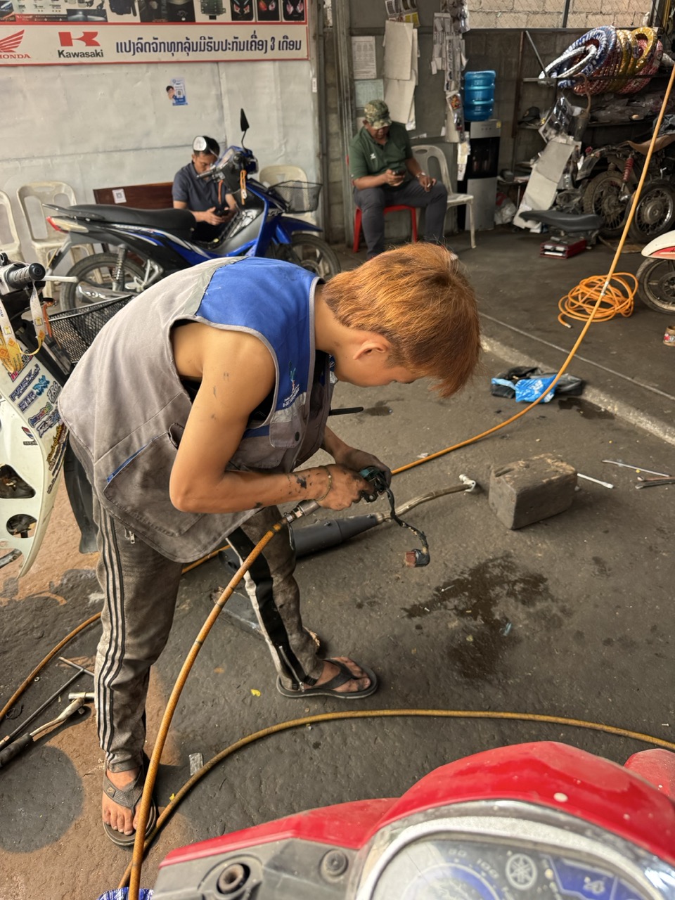
On the way into Luang Prabang the night before, one of the bikes had picked up some damage — a snapped headlight, cracked fairing, and a dashboard connector that had partly torn free. Cosmetic on the surface, but the dashboard issue meant the bike was throwing warning lights and we couldn't trust it on a long mountain day. The repair had to happen before we pushed east.

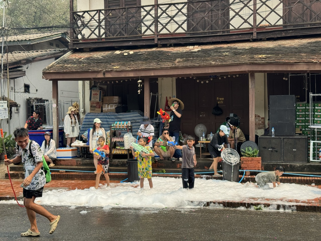
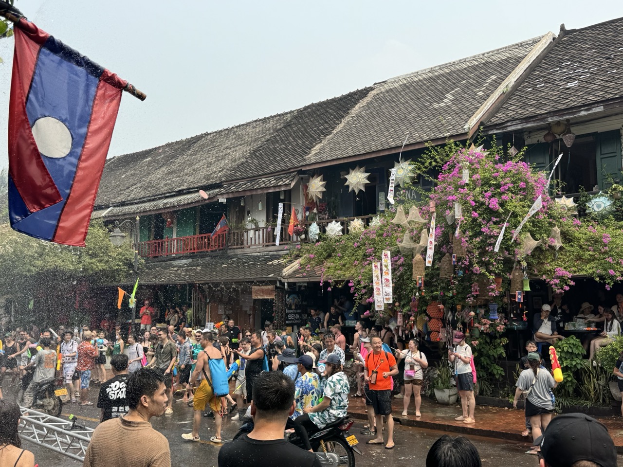
The timing turned out to be a gift. Pi Mai (Lao New Year) is a four-day festival that essentially shuts the city down anyway. Even if our bikes had been perfect, we wouldn't have wanted to ride through a Luang Prabang where every intersection had a foam party in the middle of it. So we found a mechanic, dropped the damaged bike off, and spent the day in Luang Prabang as participants rather than tourists.

The broken headlight, close up. Cosmetic.
Cracked front fairing at the mechanic shop.
The actual problem — torn dashboard connector. The thing that was throwing warning lights.
The CRF settled in at a Luang Prabang mechanic shop. Tire pile in the corner, dog asleep behind it.
Mechanic crouched over the parts on the ground. He found and fixed the connector inside ten minutes — the welding for the fairing took longer.
Hands re-pinning the dashboard connector.
Tracing the engine wiring back to make sure nothing else was loose.
Welding shop next door — the fairing got its final repair here.
In progress at the mechanic shop.
Finished. Total cost: a fraction of what the same job would have been at home.

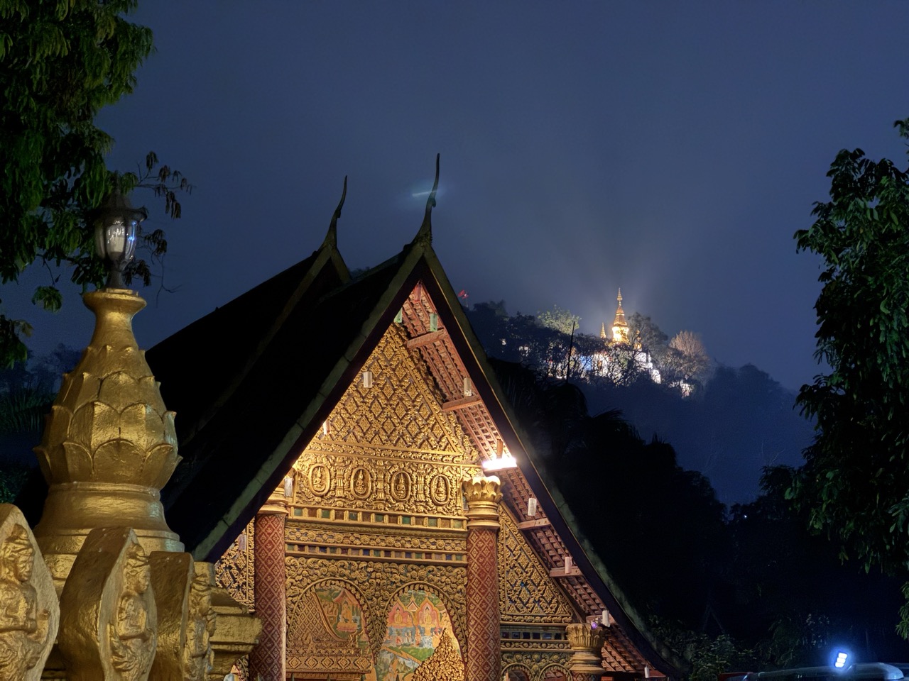
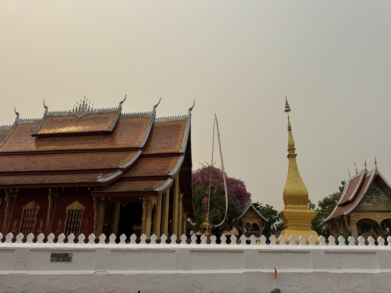
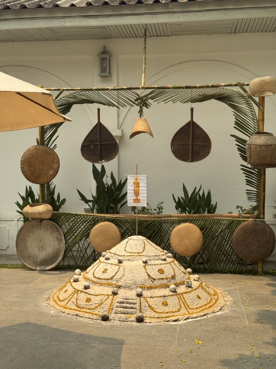
While the bike was in the shop, Luang Prabang was busy turning into a water fight. Pi Mai is the Lao version of Songkran — the entire city participates, three full days of street parties, foam, water guns, buckets and generally everyone soaking everyone else. The locals build small sand stupas in front of the wats with marigolds pressed into them, monks bless the new year, and by mid-afternoon every road in the centre is closed off. You walk through it because there is no through it.

A Pi Mai sand stupa with marigolds, in front of one of the wats.
Pi Mai on the main street. Wall-to-wall.
Foam party. Kids with water guns. There is no escape.
Lao flag flying over the crowd at one of the restaurants on the main street.
The water festival crowd in motion.
Pi Mai street celebration.
Climax of the celebration. We were soaked through within thirty seconds of leaving the hotel.

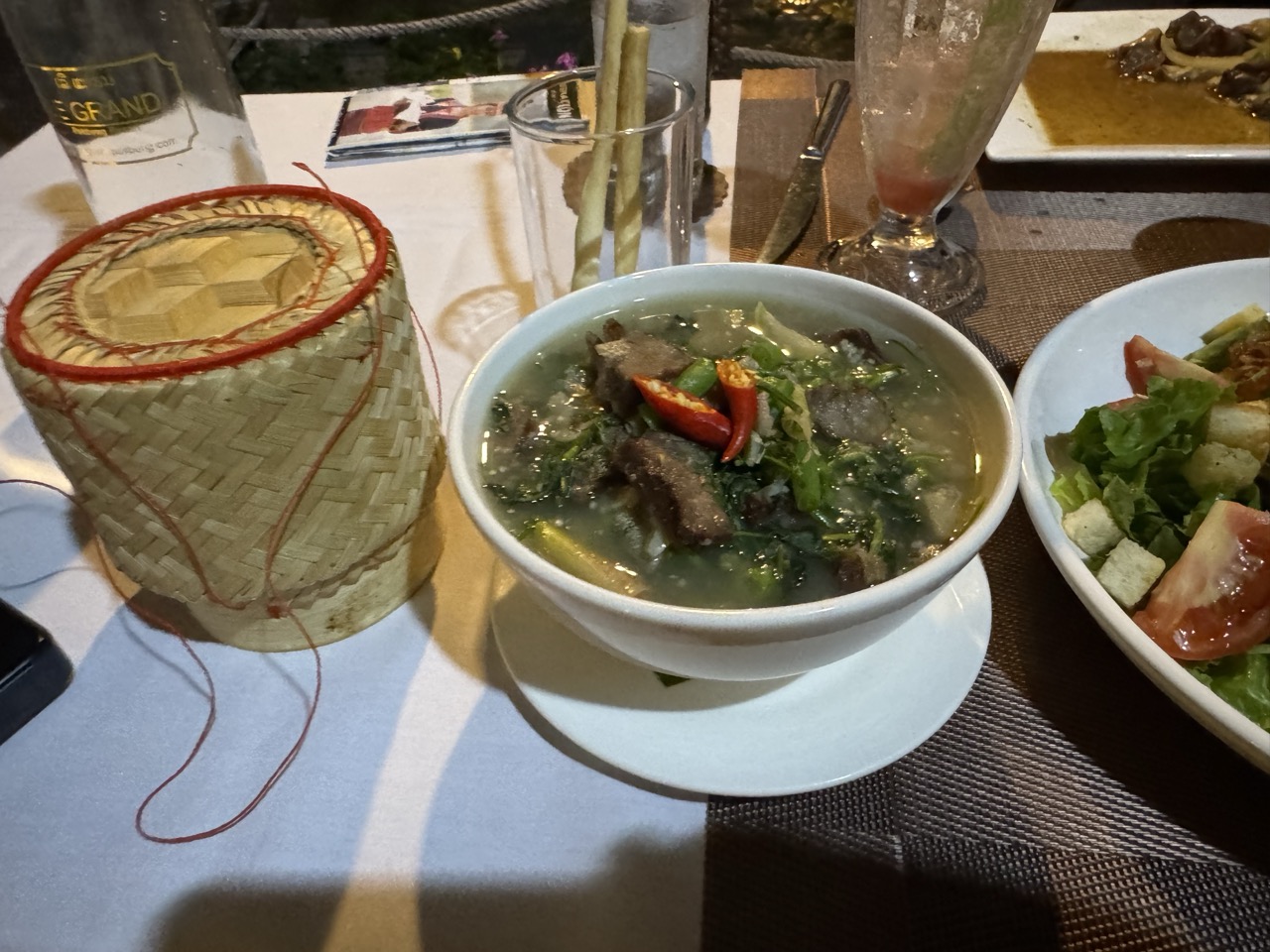
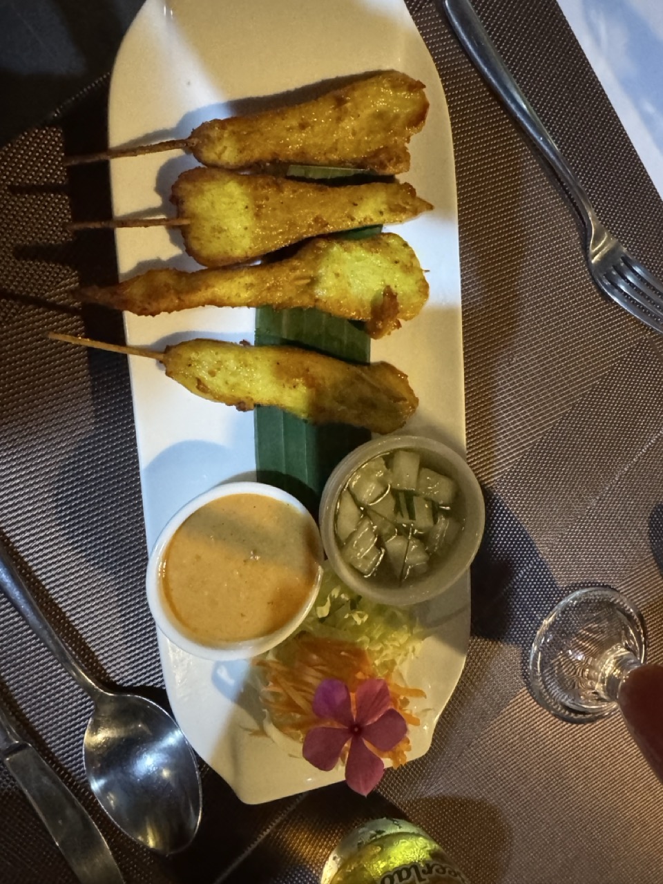
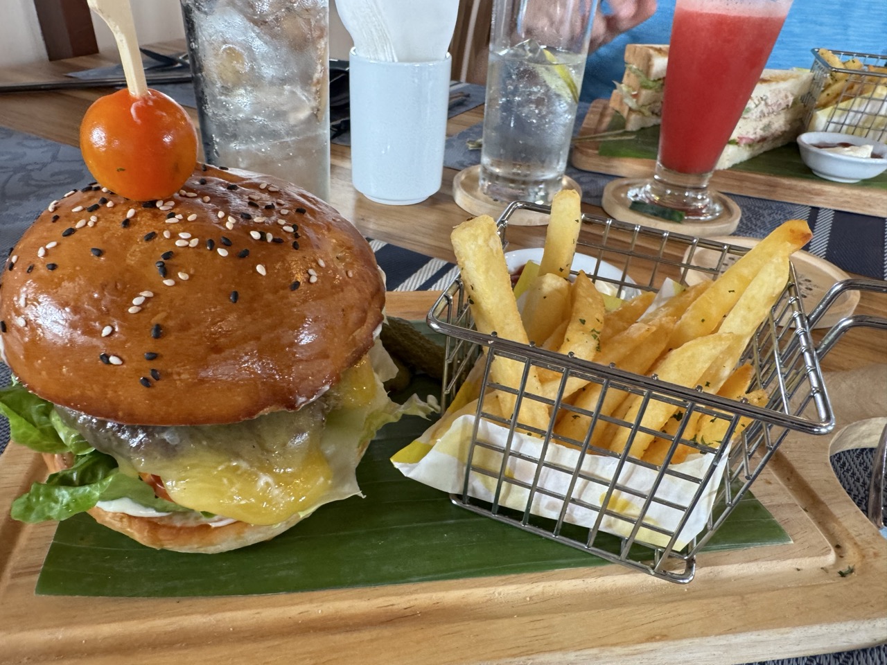
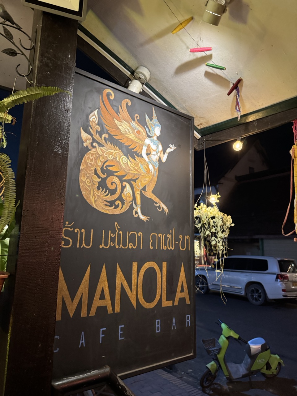
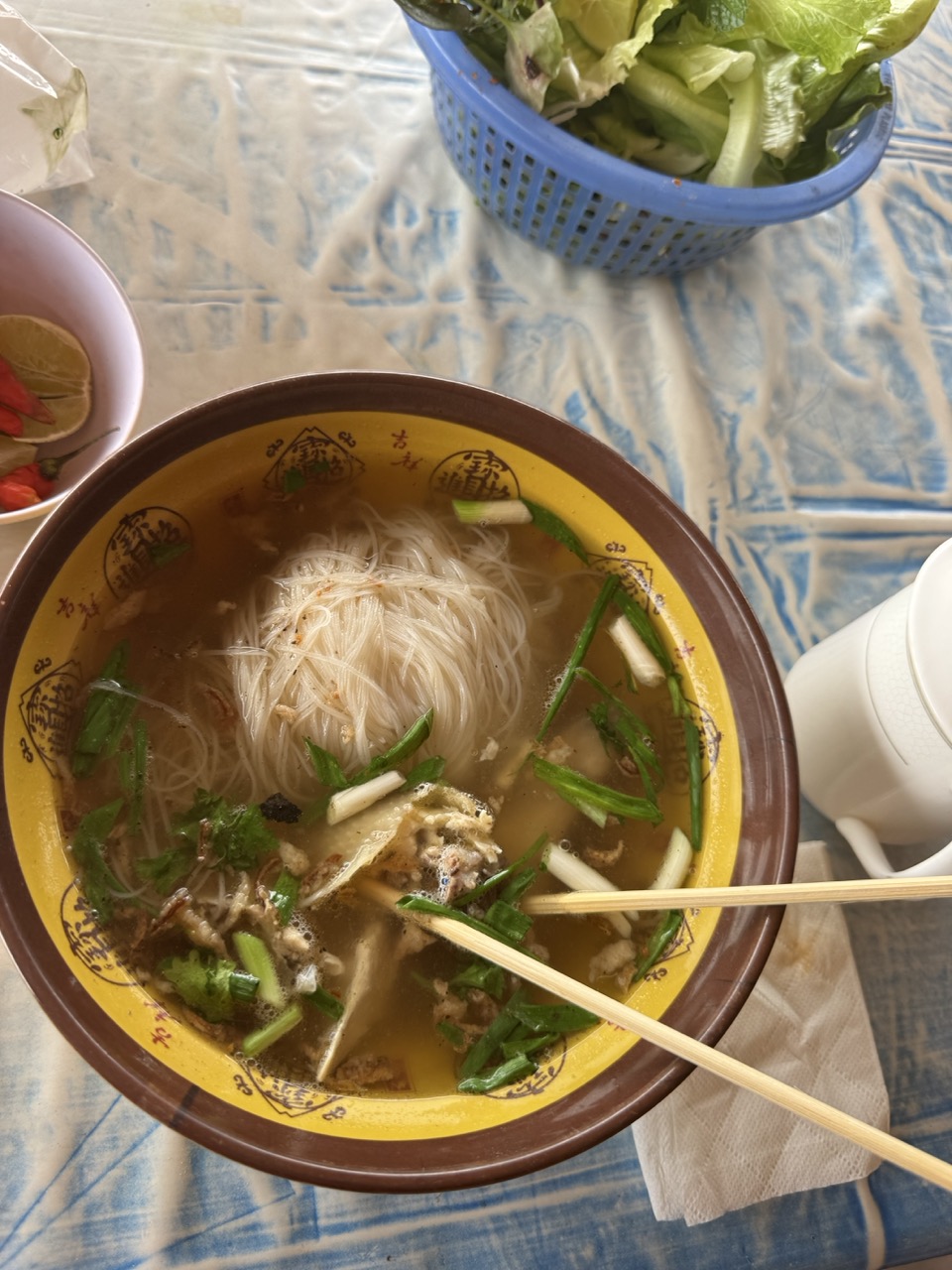
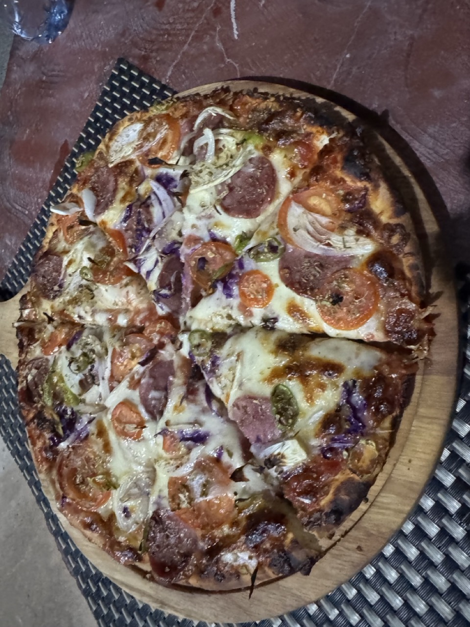
The food in Luang Prabang during Pi Mai was unexpectedly broad — most of the local Lao places were closed for the festival, so we ended up eating at the international spots that stayed open. Wood-fired Margherita pizza by the Mekong, burgers and fries, an exceptional little cafe-bar called Manola for an afternoon drink. Not authentic Lao day, but a great Luang Prabang day.

Margherita pizza with burrata. Yes, in Luang Prabang.
Burger and fries lunch by the Mekong. Day-3 calorie damage.
Manola Cafe Bar — a small spot off the main strip. Good iced coffee, friendly owner.
Chain-and-pulley setup at one of the Mekong ferry crossings.
Slow boat moored on the riverbank — the same boats that bring backpackers down from Huay Xai.
CRF parked at a wat gate in the late afternoon, before the festival crowd really got going.

Day 4 — Luang Prabang to Phonsavan (~259 km)

Day 4: Luang Prabang → Xieng Khouang province → Phonsavan. The mountain road across to the Plain of Jars.
Loaded up at dawn near the alms procession. Both bikes back together and ready.

The road from Luang Prabang to Phonsavan (Route 7) is genuinely one of the great mountain rides in Southeast Asia. It climbs out of the Mekong valley, runs along ridge after ridge for hours, and finally drops onto the high plateau around Xieng Khouang where the Plain of Jars sits. Almost all sealed, but the kind of sealed where the surface is rough enough that you're still concentrating, and the corners come fast.

Hazy mountain pass with a distant tower-and-village in the next valley.
Slash-and-burn hillside. April is when this is happening across the entire region — agricultural and that's what creates the haze.
Hazy mountains and a lone tree. The view would be extraordinary in December.
Dry roadside hut. Most of these are seasonal — used during planting and harvest.
Brand new sealed highway with grazing cattle taking the right-hand lane. Welcome to road priorities in rural Laos.
Lao cargo truck loading area at one of the bigger road junctions.
Lunch stop. Roadside restaurant overlooking a bridge.
Lao noodle soup in a yellow ceramic bowl. ~25,000 kip and you keep going.
Lao baguette sandwich. The French left, the bread stayed.
Dusty CRF parked outside the lunch stop.
Nam Ngum reservoir at low water — April is end of dry season.
Riverine village with a single coconut palm holding centre stage.
Stilt houses and longtail boats. The mountain rivers in this region are still working transport routes.
CRF stopped on a bridge over a still-green river. Clear water this far from the slash-and-burn slopes.
Oppo storefront on a dirt main street in a small Xieng Khouang town. The 21st century delivers itself to rural Laos one phone shop at a time.
Vintage diesel-and-regular pump, Lao script. We chose Regular.
Welcome to Xieng Khouang province. The province where the Plain of Jars sits.

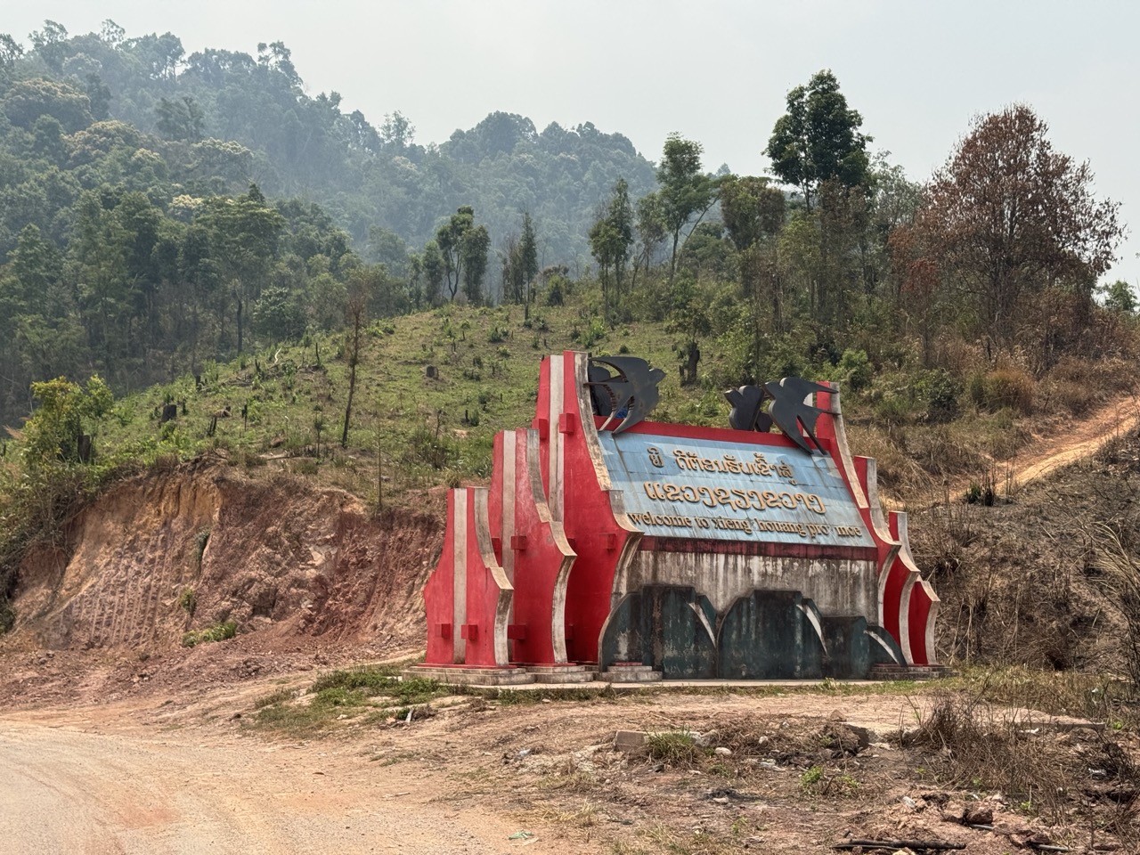
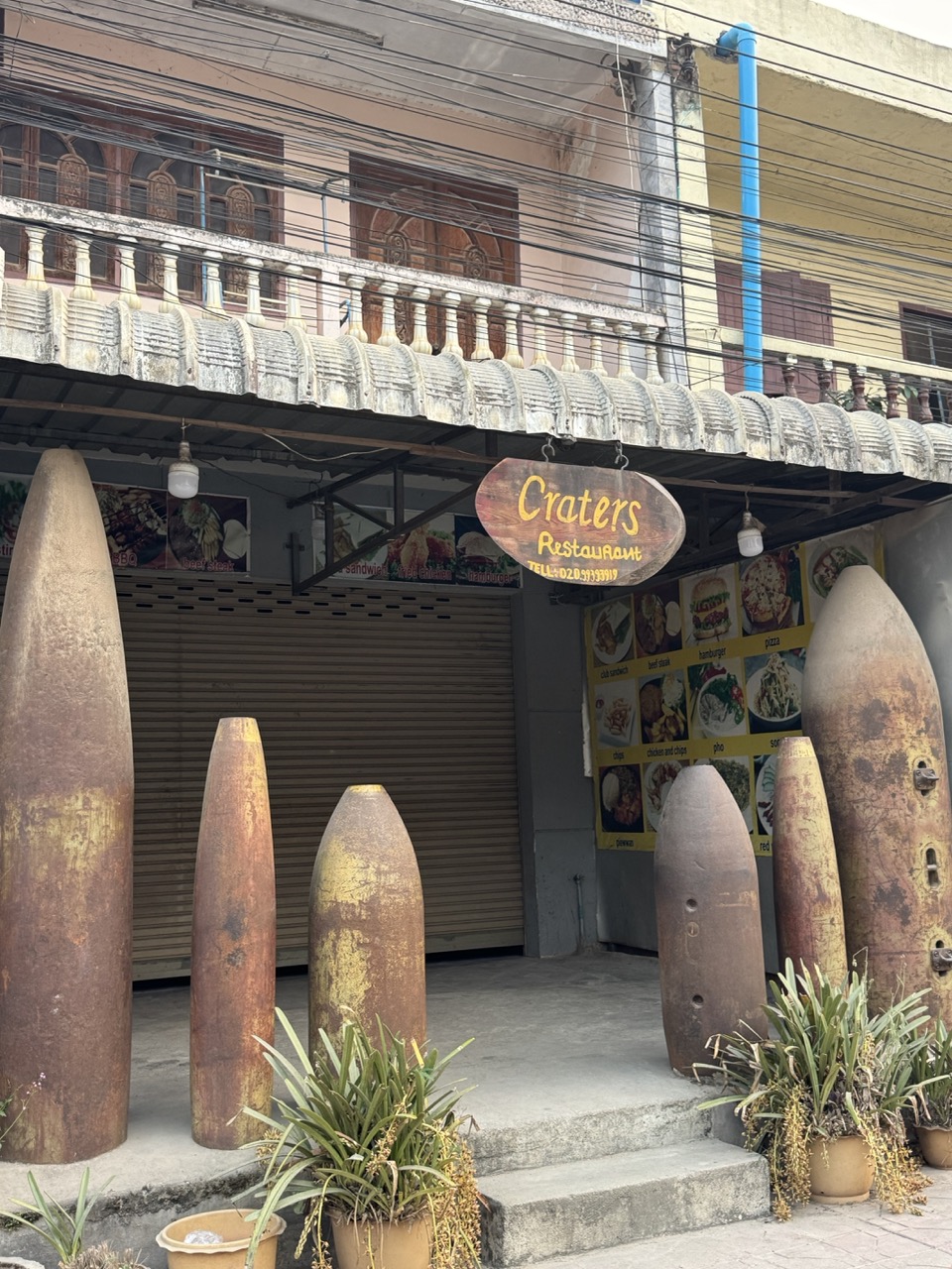
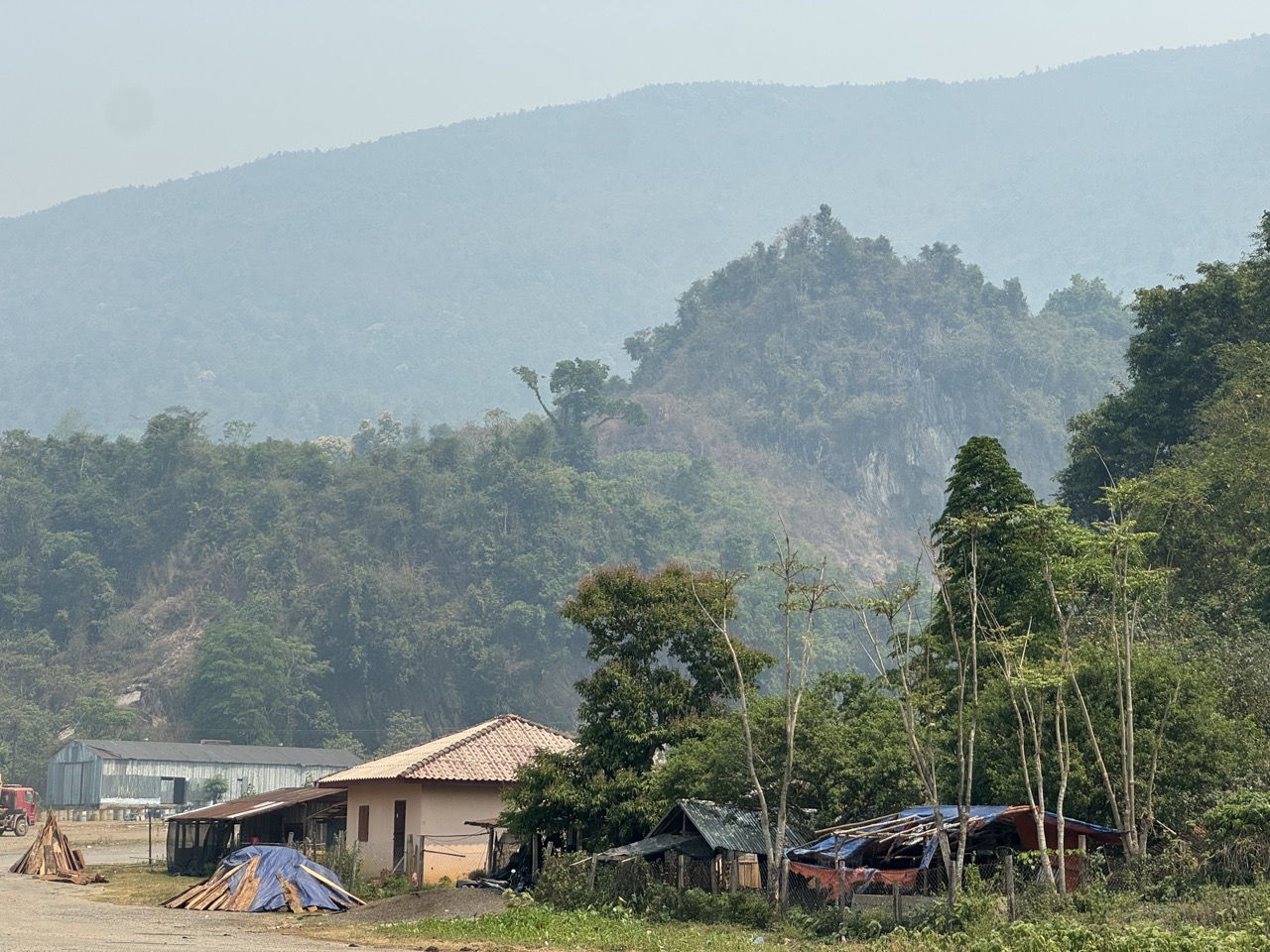
We rolled into Phonsavan in the late afternoon. Phonsavan is small — really a single main strip surrounded by suburban sprawl — and it exists today as the gateway to the Plain of Jars. Almost everything about the town's tourism revolves around the jars and the surrounding Vietnam War history. The most famous restaurant in town, Craters, has actual UXO bomb shells lined up outside as decor. The hotel we'd booked, Vansana Plain of Jars Hotel, was on the quieter side of town with a stone-fireplace lounge that got cold enough at night that we used it.

Government building, viewed from a cafe terrace in Phonsavan.
Vansana Plain of Jars hotel — stone-fireplace lounge that earns its keep on cool evenings.
Room at Vansana. Functional and quiet.
Hmong silver ceremonial necklace, displayed at a craft shop in town. Xieng Khouang province has a large Hmong population.
Craters Restaurant in Phonsavan — UXO bomb shells lined up outside as decor. Specifically themed around the Vietnam War / Secret War context that defines this region.
Pepperoni pizza dinner. After 250km of mountain road, you eat what you want.
Kirin beer and a raisin cookie. End of day.

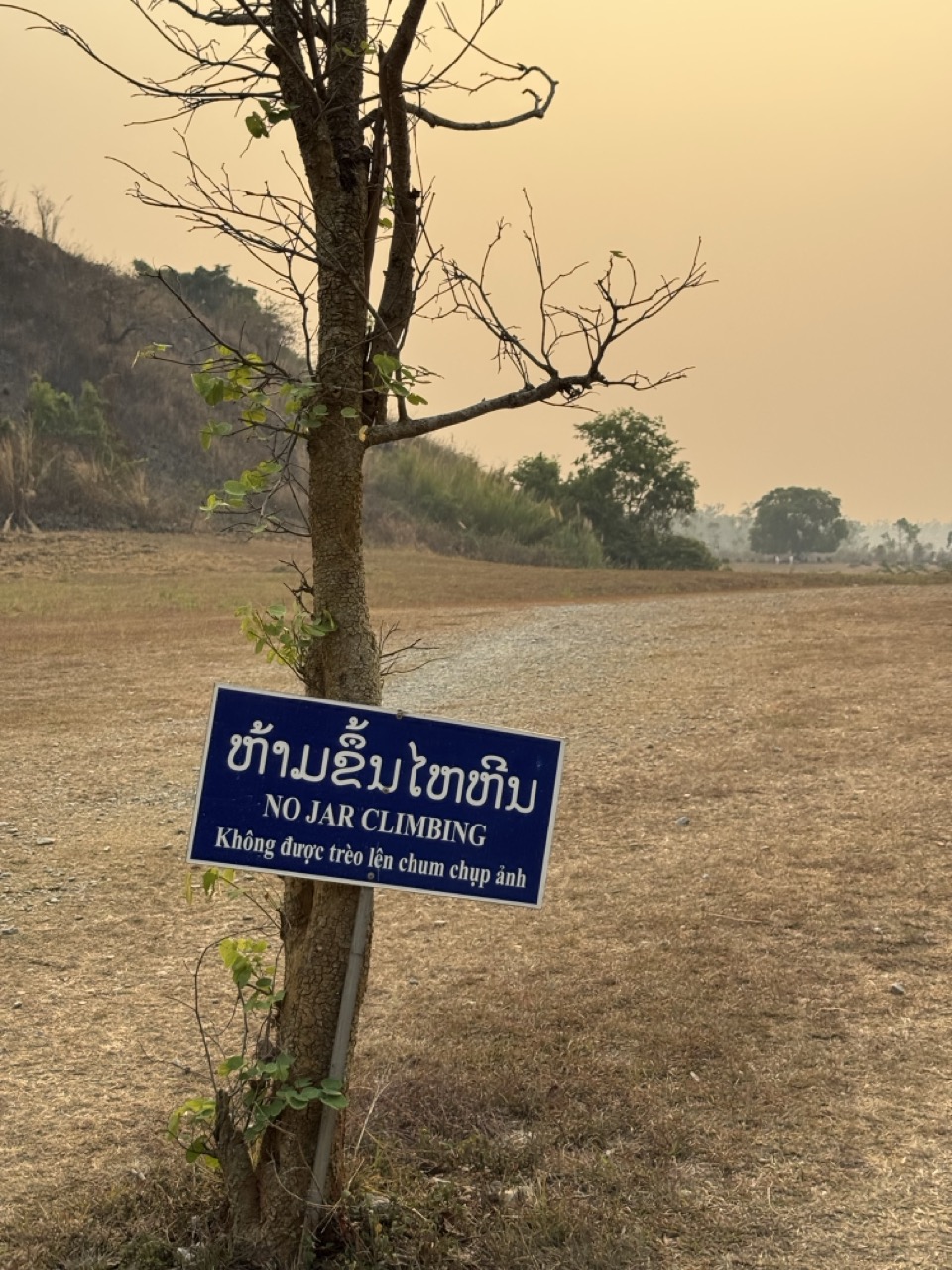
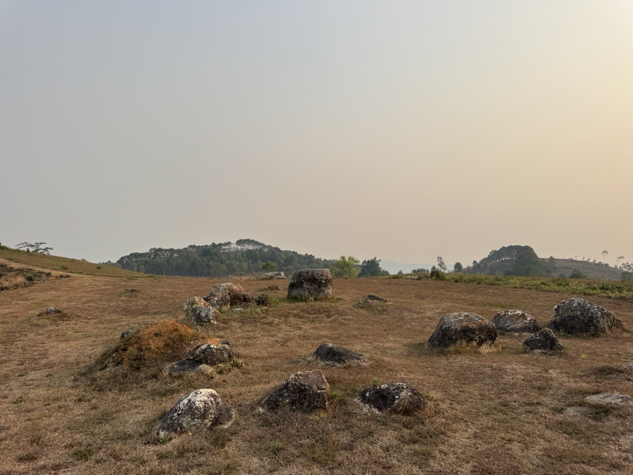
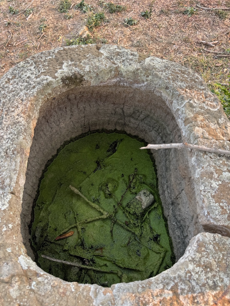
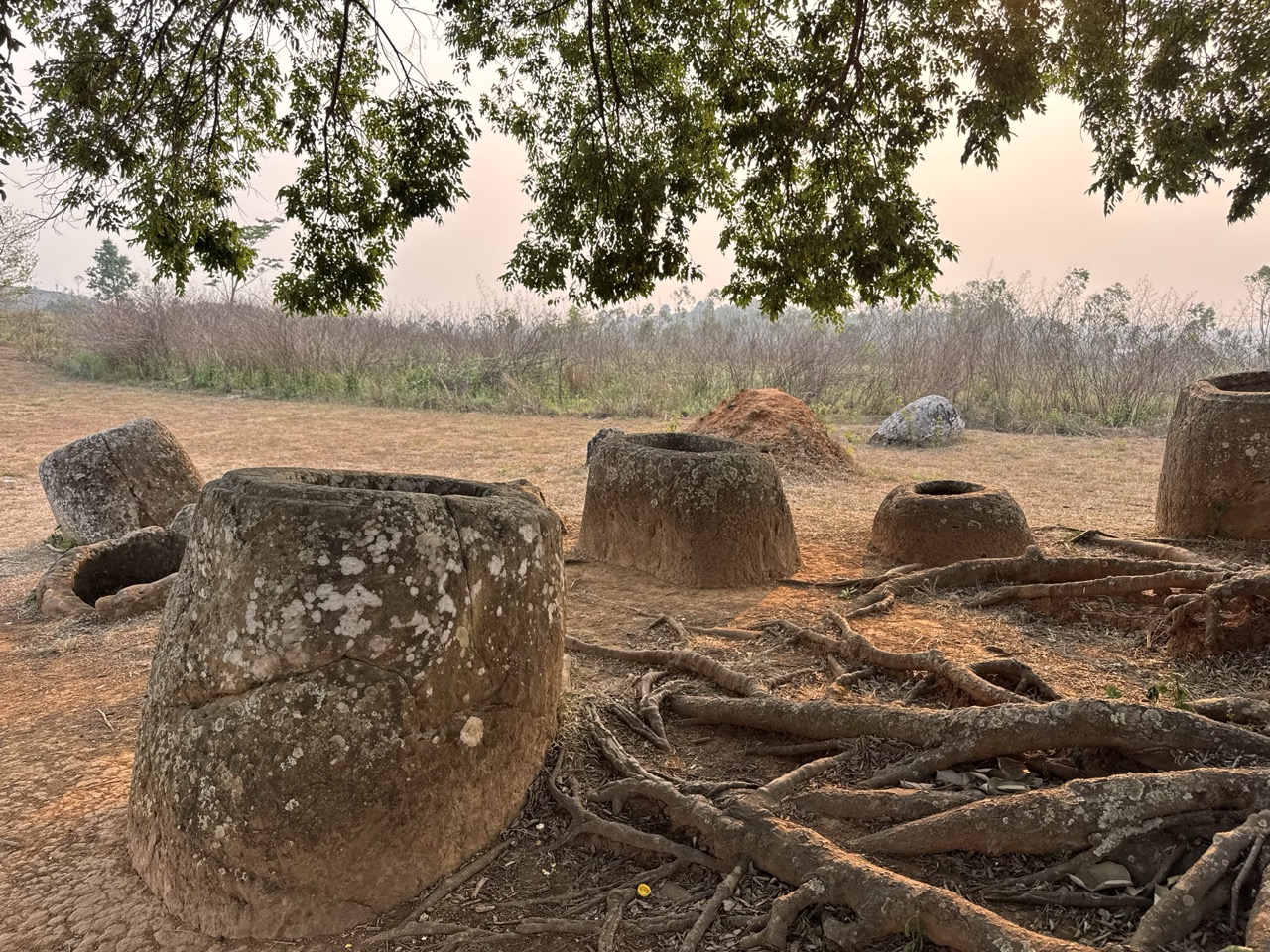
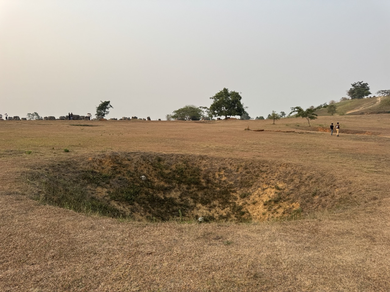
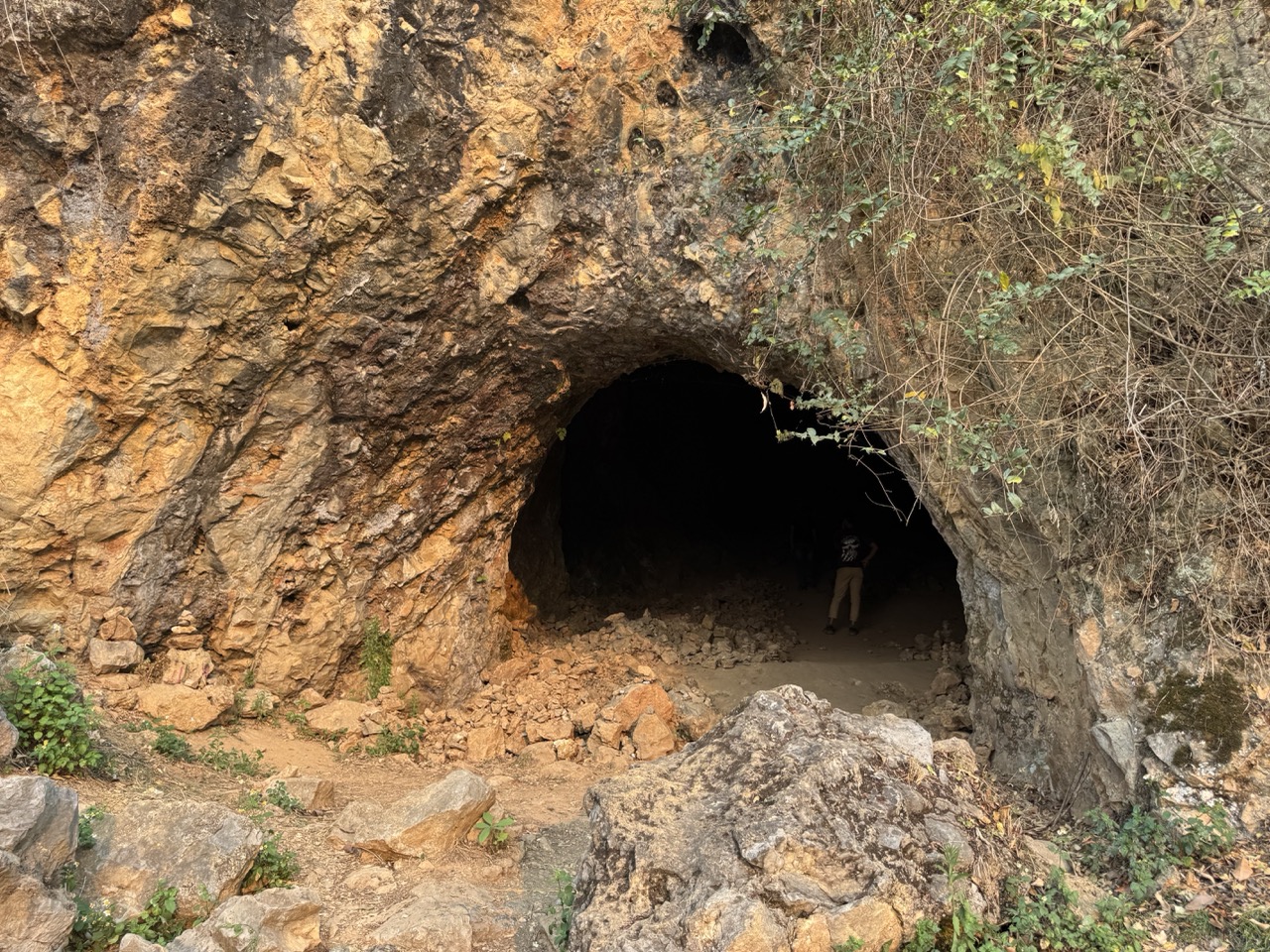
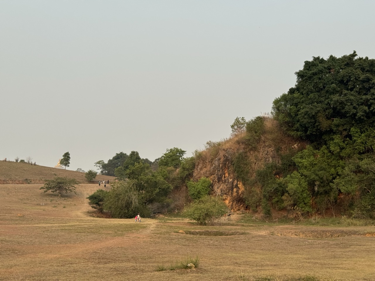
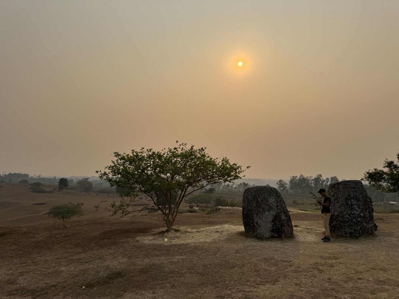
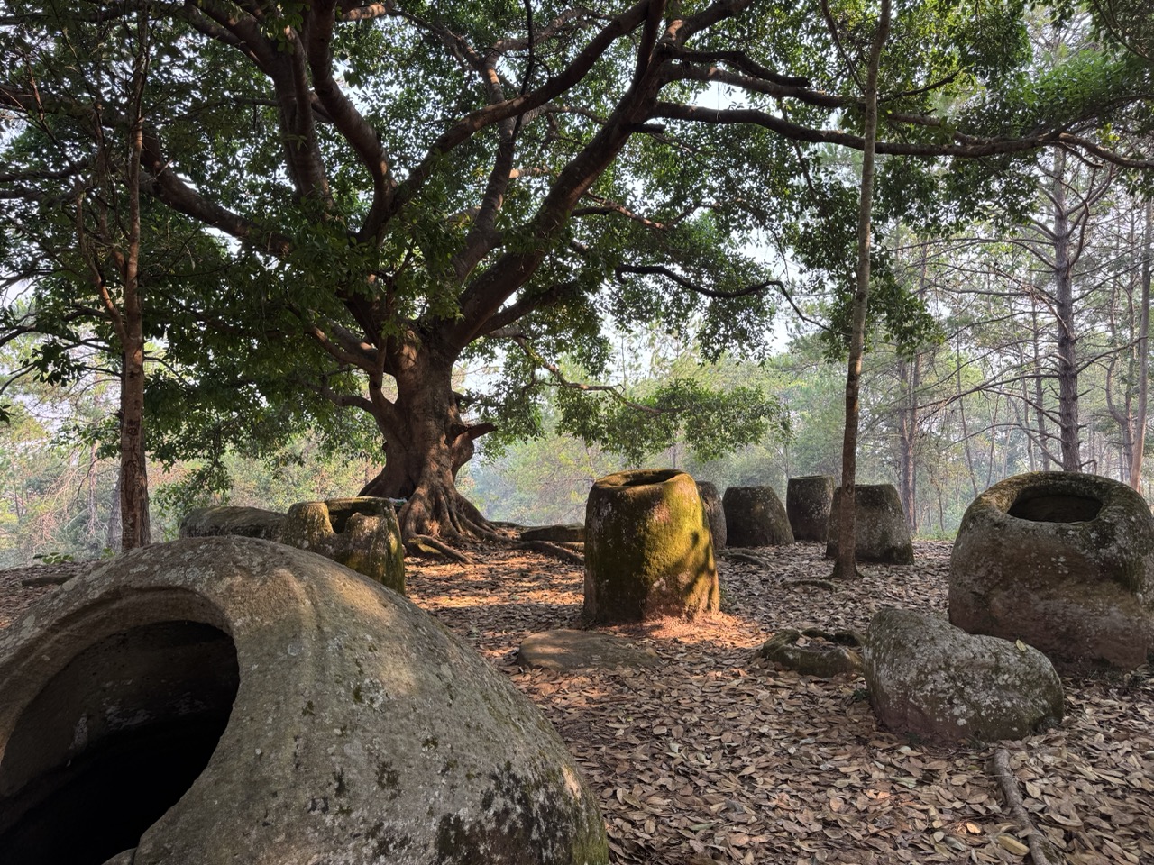
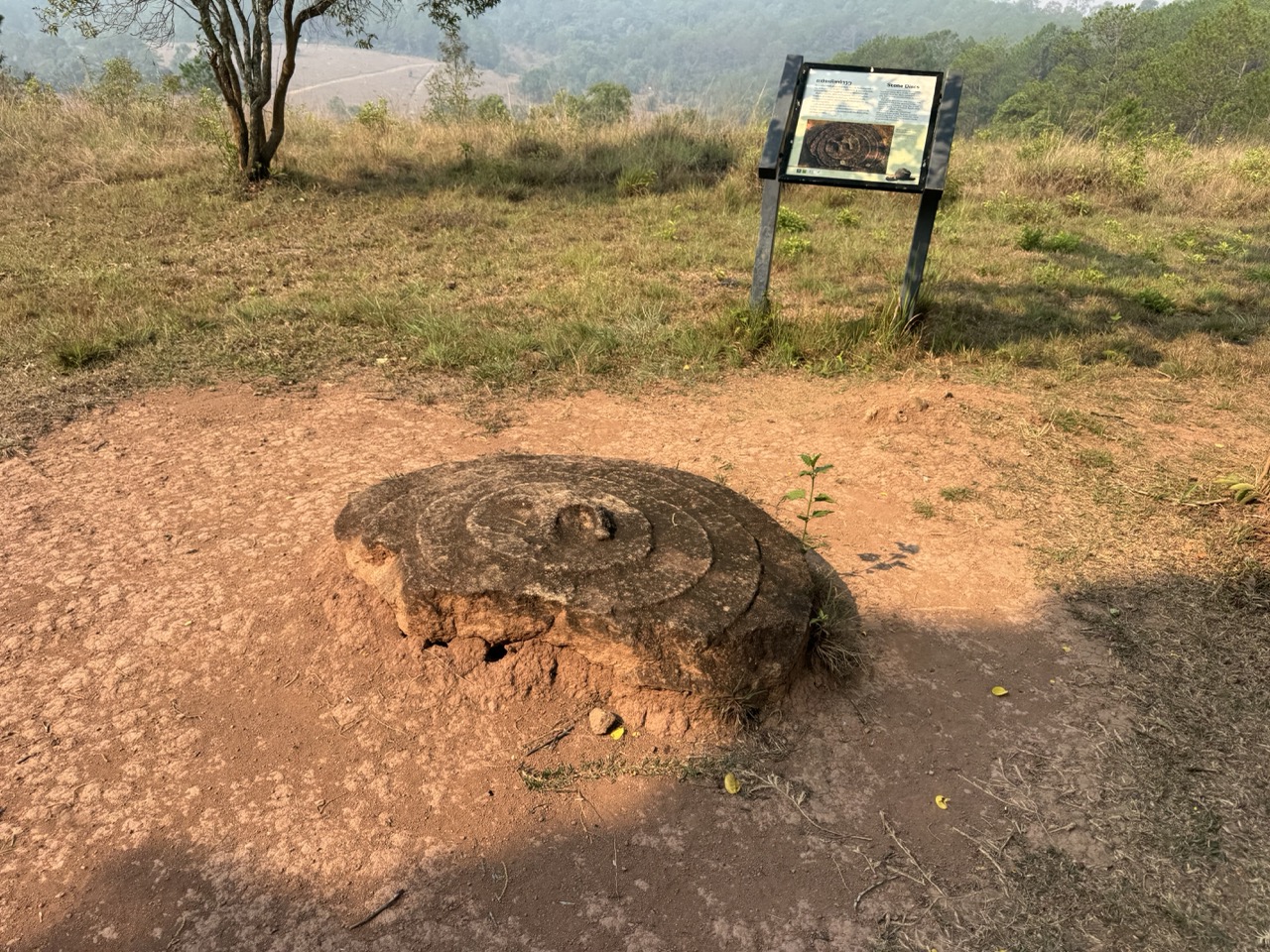
We squeezed in a sunset visit to Plain of Jars Site 1 before dark. Site 1 is the most accessible of the three main jar sites — about 10 minutes outside Phonsavan, hundreds of two-thousand-year-old stone jars scattered across an open hillside, with a Vietnam War cave at one end (used as a shelter during the bombing) and bomb craters cratered into the meadow in between. There's a sign at the entrance asking visitors not to climb the jars, which they need to keep printing for a reason.

Bikes parked at Site 1 entrance, late afternoon.
No climbing on the jars. Reasonable request.
Site 1 — wide view of the scattered jars across the field.
Cluster of jars under one of the trees on the hillside.
A single jar beneath a twisted tree.
A jar filled with green algae water — half full from the last rain.
Jars and gnarled tree roots. Some of these jars are so old the trees have grown around them.
A Vietnam War bomb crater, mid-field. The Site 1 ground was repeatedly bombed during the Secret War — the craters are now part of the landscape.
Vietnam War cave opening at the edge of the site — used as a shelter during the bombing.
A distant Buddha statue across the field, from one end of Site 1.
Sunset at Site 1. The haze added rather than detracted.
A walkthrough of Site 1 at sunset.

Day 5 — Phonsavan to Vang Vieng (~292 km)

Day 5: Phonsavan → Vang Vieng. The big dirt-bike day. Rendered as one polyline but we logged it as two GPX files (morning + lunch break).

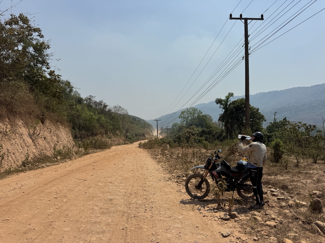
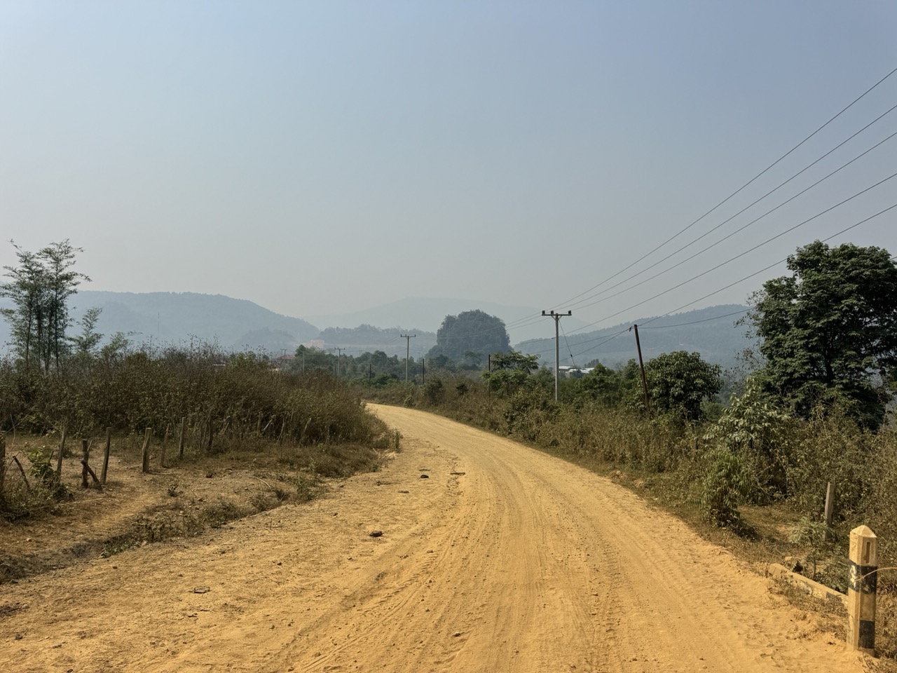
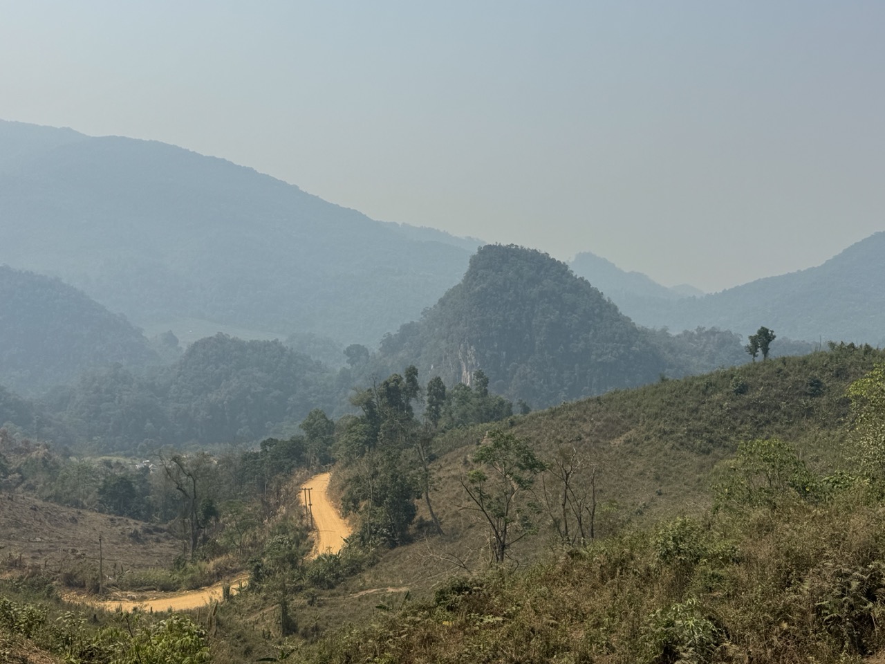
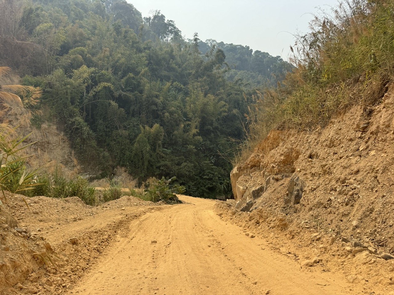
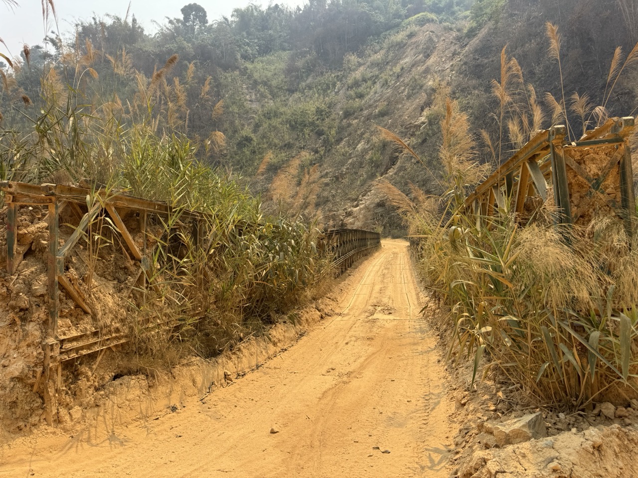
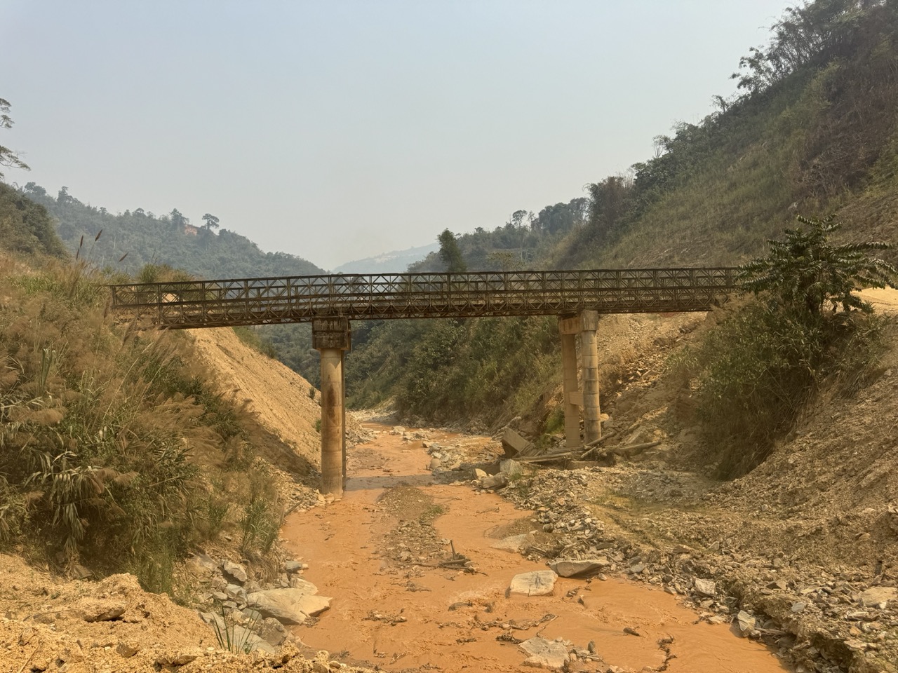
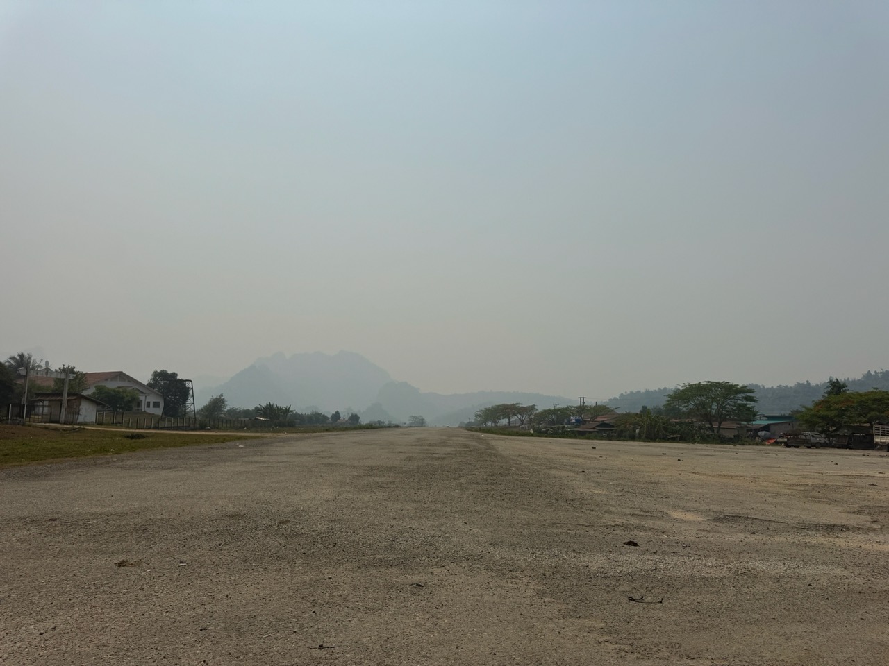
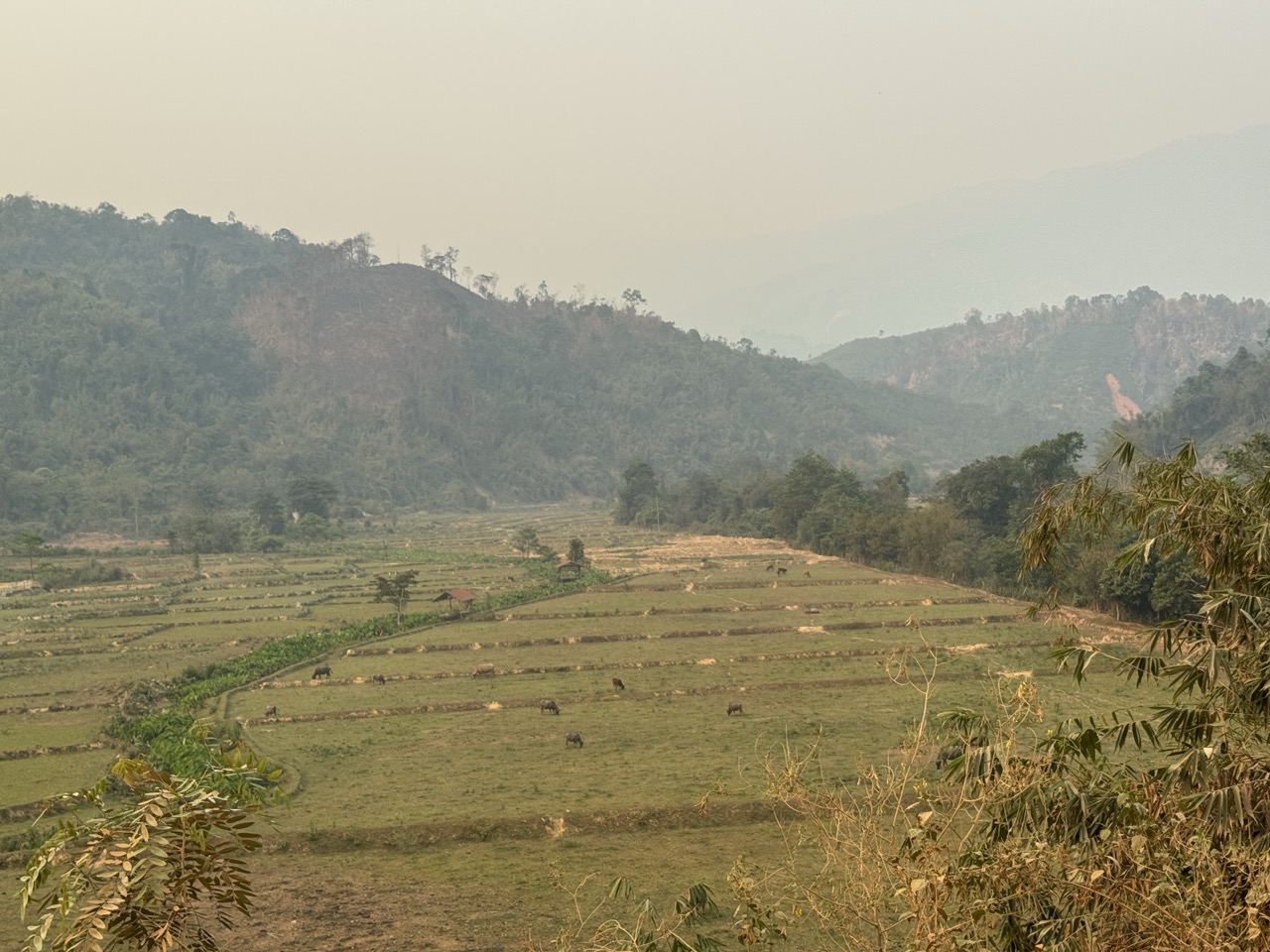
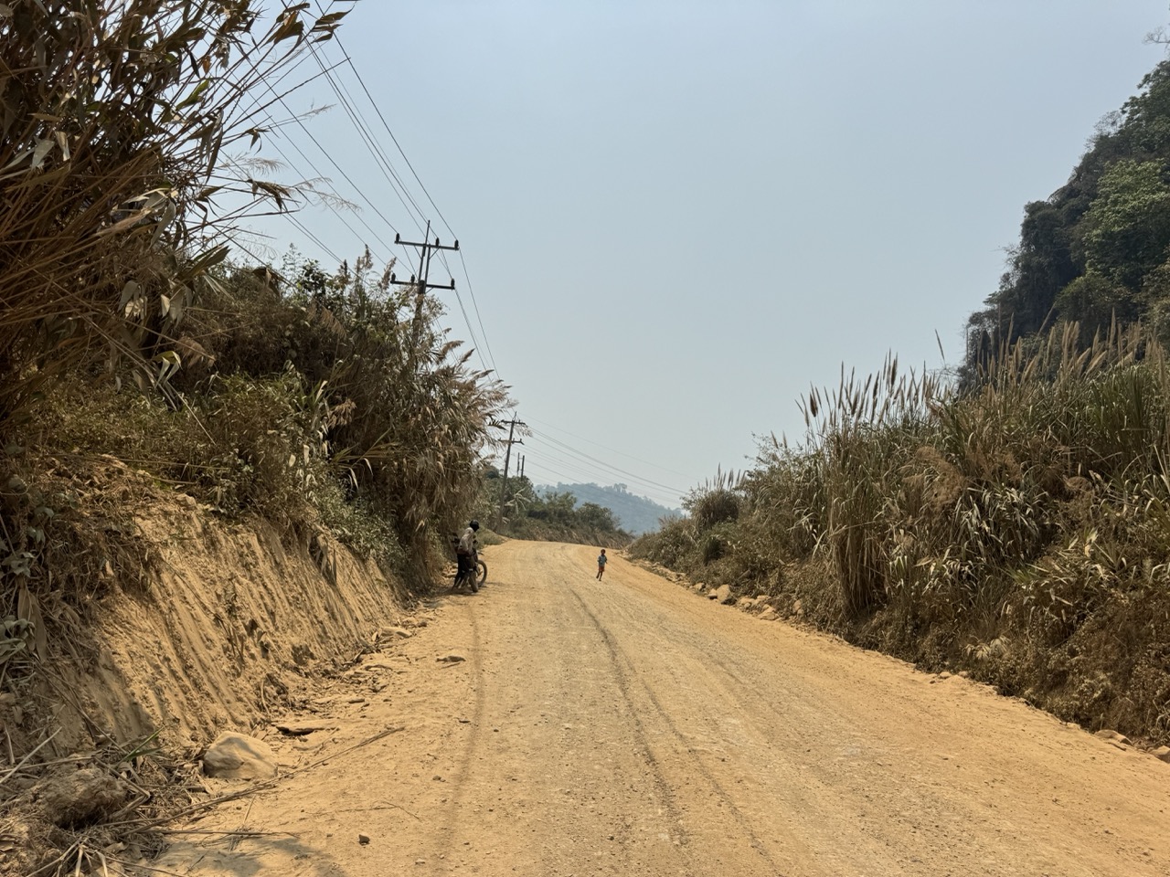
If we had to pick a single highlight day from this trip, this would be it. There's a paved option from Phonsavan down to Vang Vieng — the long way around via Route 13. We didn't take it. Instead we took the dirt-and-gravel mountain route that drops south through ex-Lima Sites and Hmong country — old CIA airstrips from the Secret War era, now just gravel expanses in the middle of nowhere — and climbs over a ridgeline before descending into the karst valleys north of Vang Vieng. ~290 km, almost all of it on dirt or rough sealed.

Dawn at the Vansana driveway. The day starts at 6am for a good reason.
Loaded CRF, ready to go.
Both bikes lined up at the driveway. We were the first guests out.
Phonsavan from the hill above town as we left.

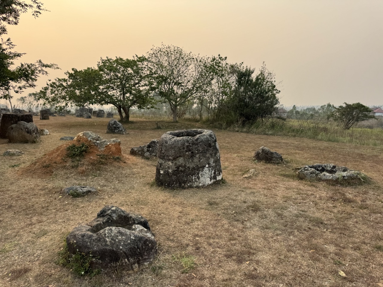
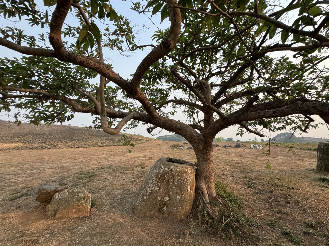
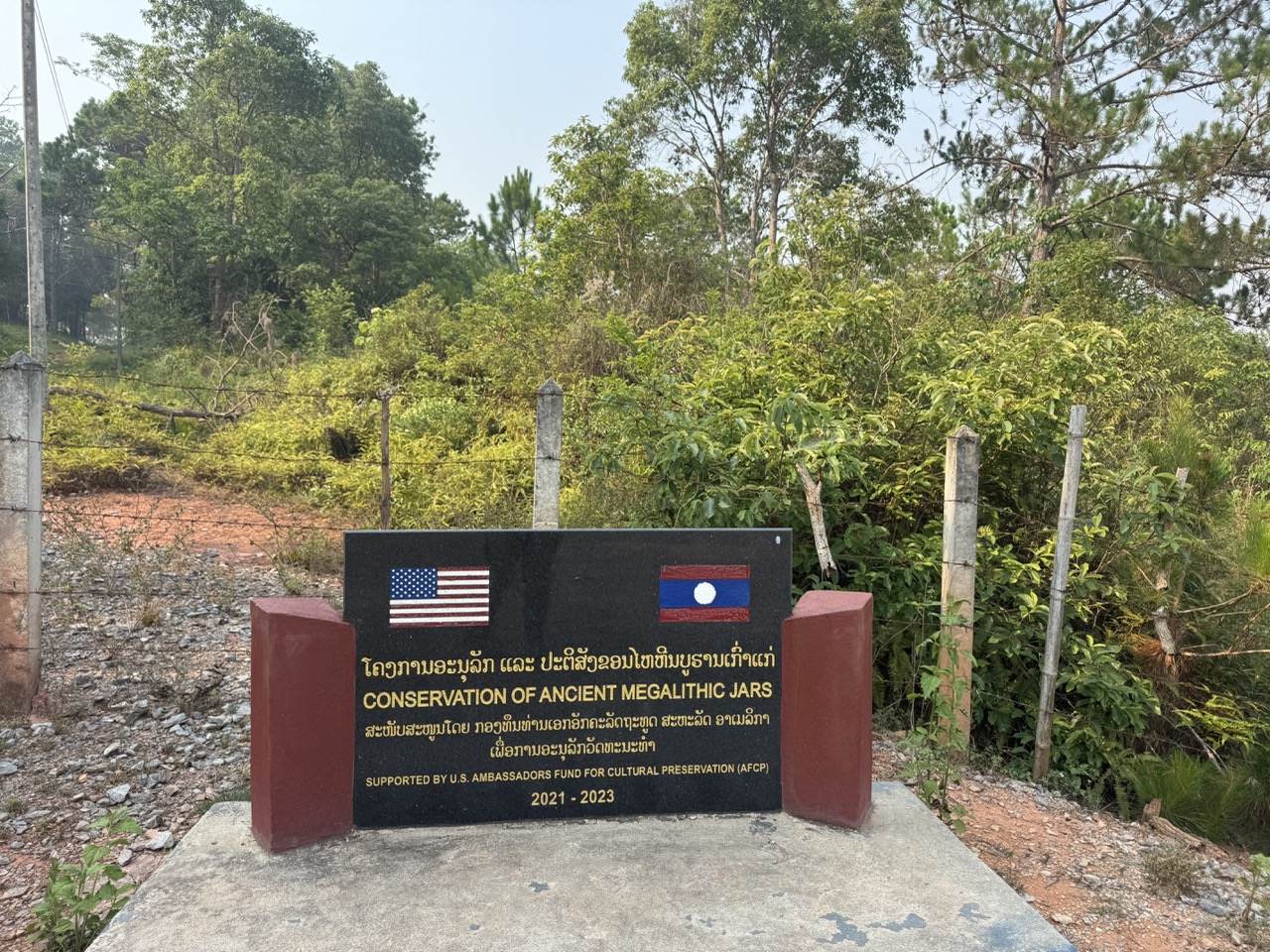
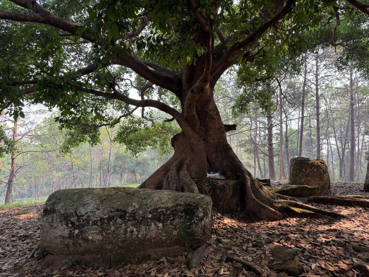
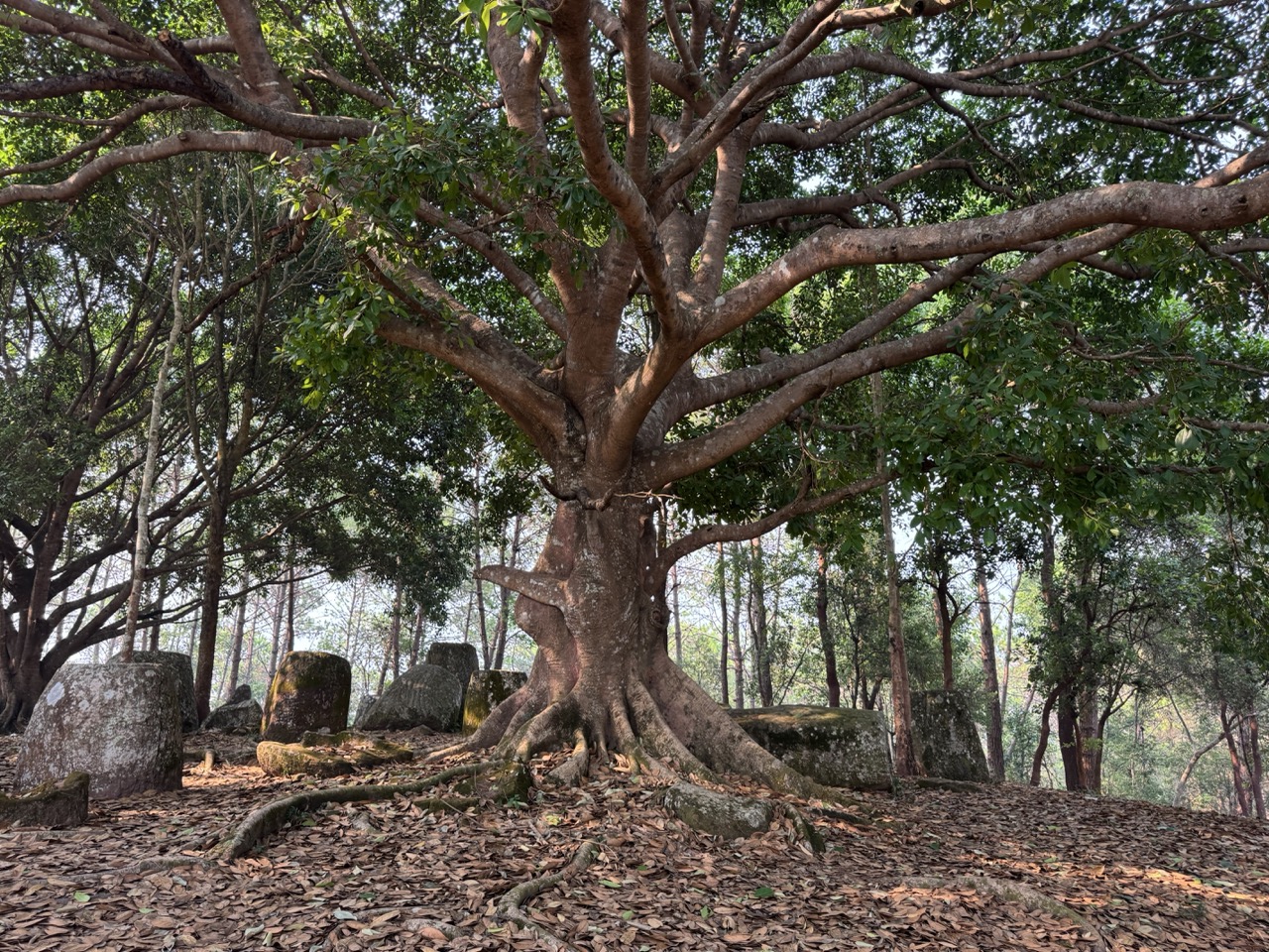
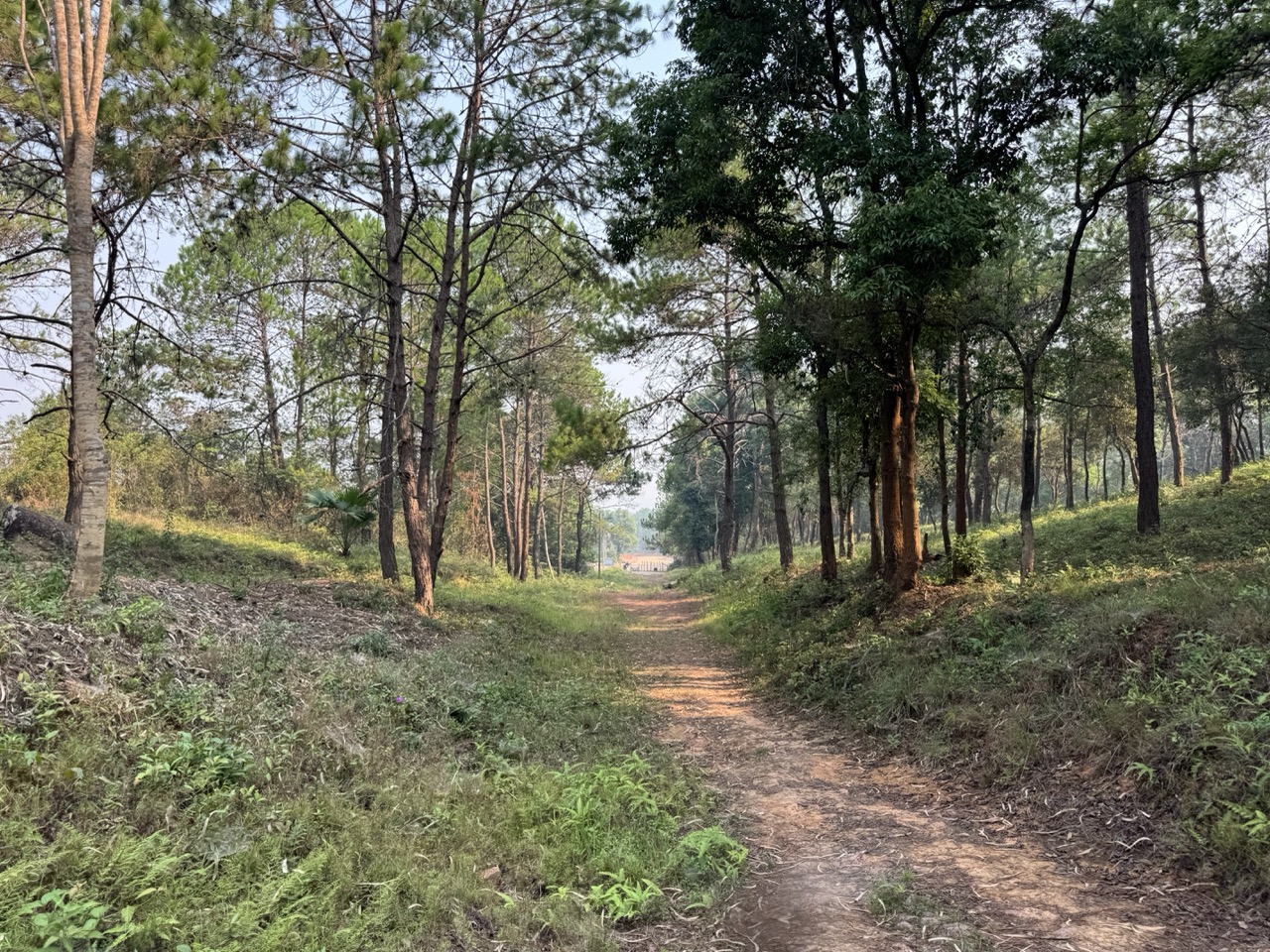
We swung past Plain of Jars Site 2 on the way out — smaller, quieter, more atmospheric than Site 1. Site 2 sits in a pine forest with a huge old banyan rooted right in among the jars. There's a conservation plaque from the time the US helped clear ordnance from the site for visitor access — small US flags stuck in the ground around it.

Bike on the gravel parking at Site 2.
Entry stile and path into the site.
Conservation plaque with small US flags. The clearance work is part of why visitors can walk Site 2 at all.
Banyan tree with jars and small offerings.
A huge banyan rooted right in among the jars. The defining image of Site 2.
Jars circling the banyan.
A disc jar lid with a spiral carving — uncommon. Most lids are gone.
Brick-and-stone staircase trail through the site.
Pine forest trail descending out of Site 2 back to the parking.

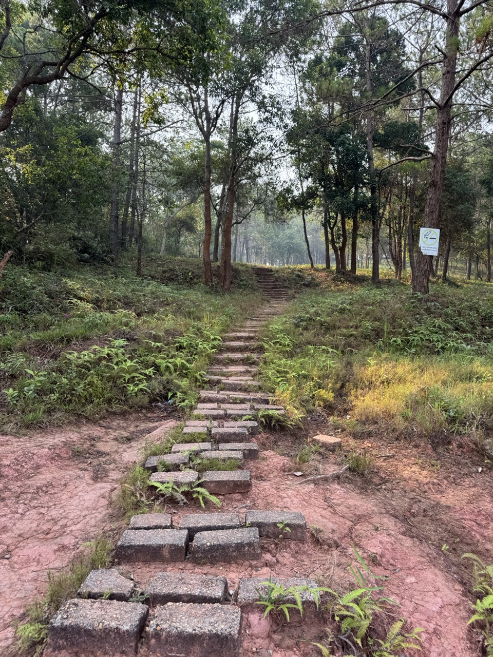
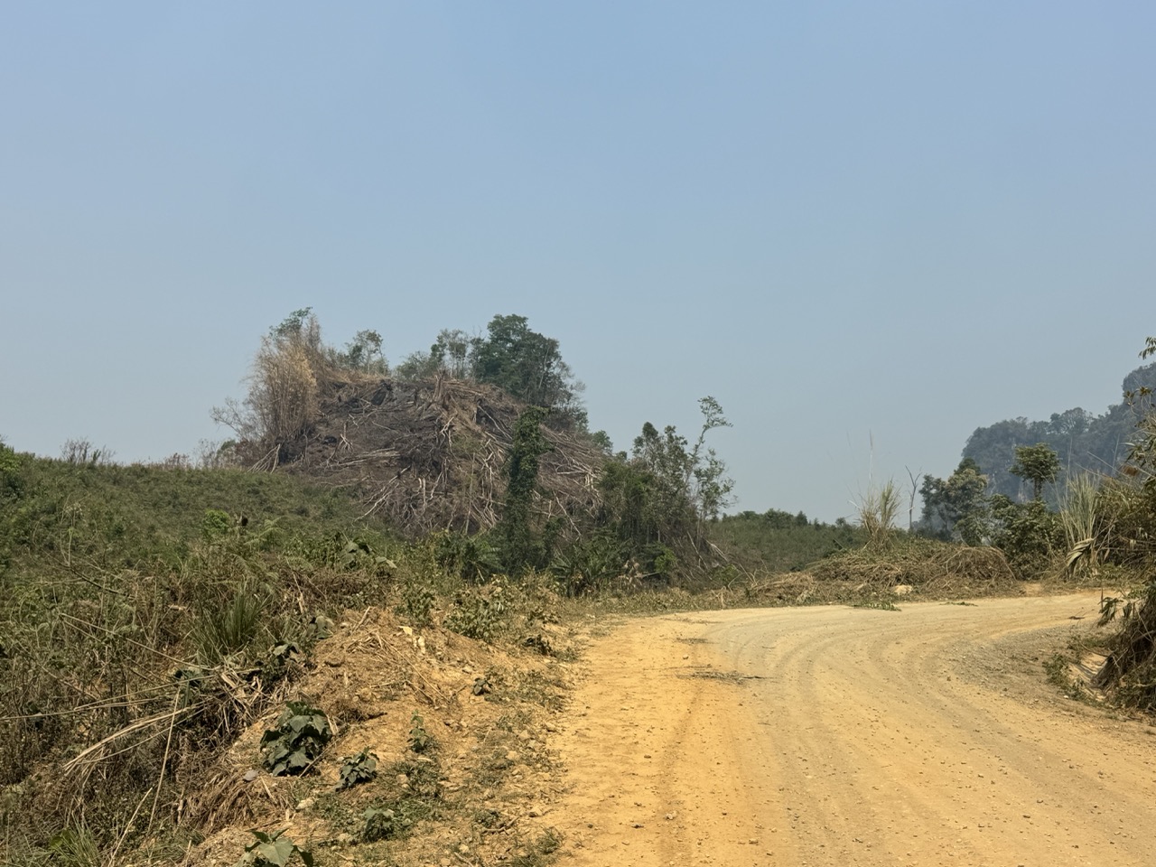
From Site 2 the route turns south onto the dirt. The transition is almost immediate — within fifteen kilometres of leaving the sealed road outside Phonsavan you're on red dirt mountain tracks, switchbacks down deforested hillsides, narrow cuts through ridgelines. This is the part of the trip you'd remember from a hundred metres.

Red dirt road, straight as it gets in this country.
Two bikes on the dirt. The kind of frame you compose specifically because you'll want to look at it later.
Riding partner on the same stretch from the other bike.
CRF on a switchback. The switchbacks all morning.
Curve along a deforested hillside. April again — the slopes you can see are the slopes that were burned this year.
Dusty descent into one of the valleys. Takes a couple of seconds for your dust trail to catch up.
A narrow cut through a hillside. You give every blind corner a horn tap.
Dusty Bailey bridge. Most of the river crossings on this stretch are old wartime infrastructure that's still in service.
Rusty Bailey bridge over a dry gulch.
Sandy concrete bridge over a stream. Some of these were getting upgraded.
A former Lima Site — one of the CIA's covert airstrips from the Secret War era. Now a gravel expanse in the middle of nowhere. There are dozens of these scattered across the Hmong highlands.
Roadside hand-pump fuel dispenser. We topped up here — there were no other obvious fuel options for hours after this.
Village overlook from a ridge.
Ridge road above a burned hillside.
Ridgeline view in a moment when the haze briefly thinned.
A village with a sawmill and the first proper karst peaks behind it. Vang Vieng is getting close.
Distant karst peaks. Definitely Vang Vieng country now.
Karst peak and a lone tree.
Karst peak above banana trees.
Rice paddies and buffalo in a hazy valley.
Buffalo herd crossing the road. Standard delay.
A Lao child on an empty dirt road. He stared us down all the way through the village.
Rocky mountain stream — clear water still, despite the season.
Orange-mineral stream bed in the next valley over. Different geology, different colour.
A taste of the dirt road riding mid-day.
Descending into the karst valleys.
Final approach into Vang Vieng.

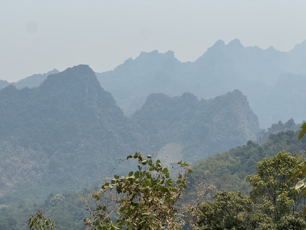
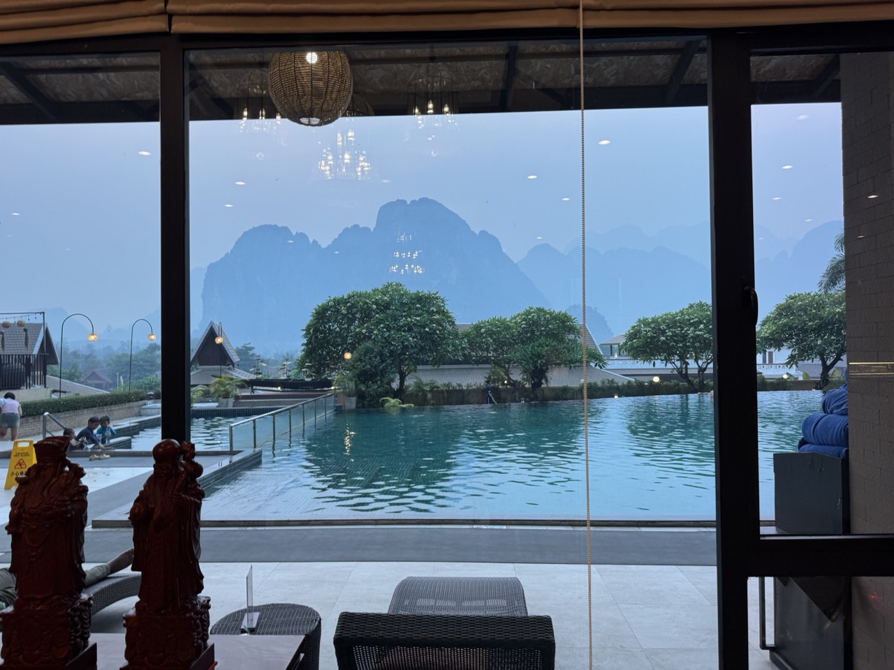
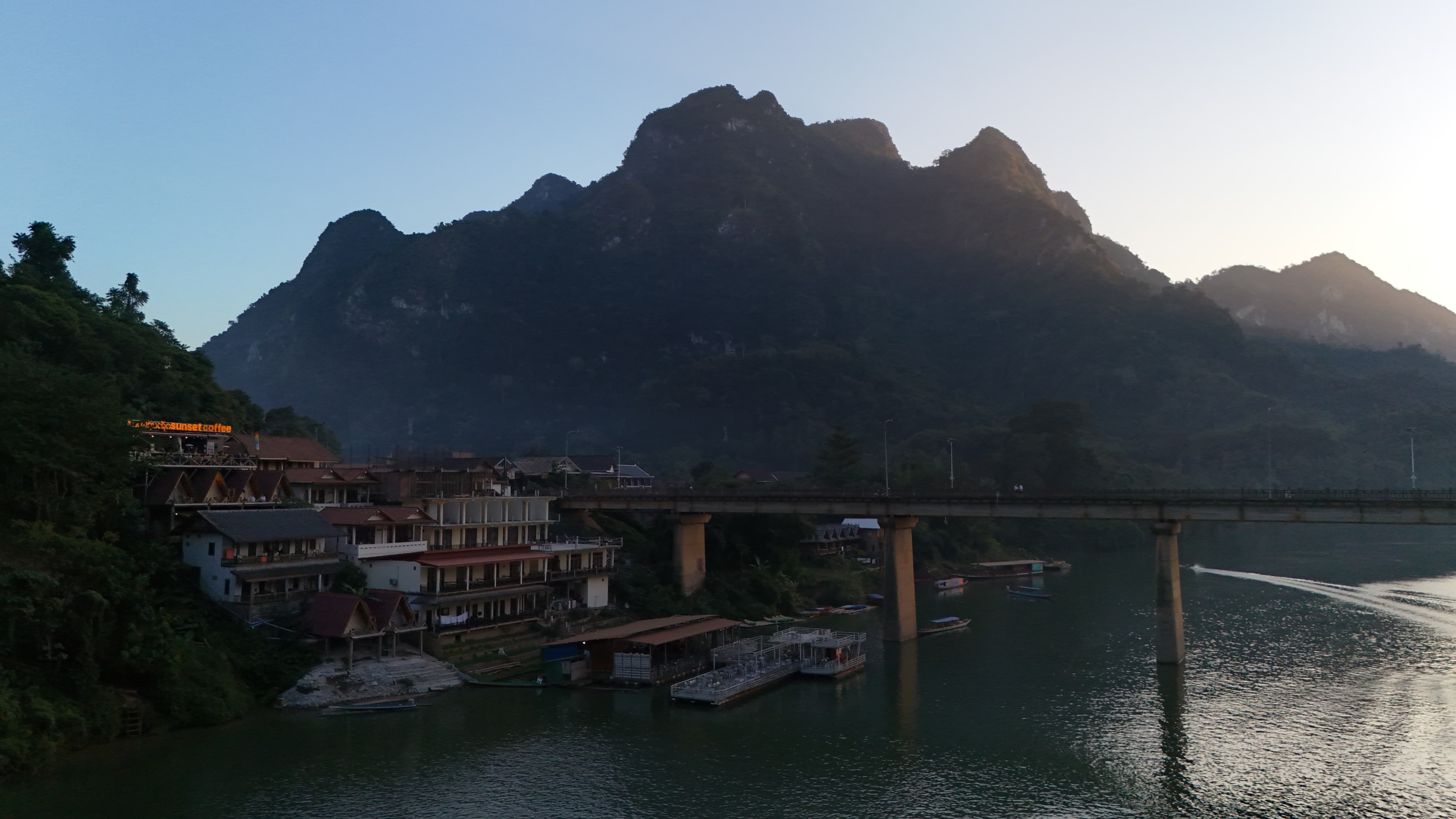
We rolled into Vang Vieng late afternoon, dust-coated, and checked into the Amari Vang Vieng on the riverside. The Amari is the kind of place you absolutely want at the end of a day like this — pool overlooking the Nam Song River, karst-peak sunsets out the lobby windows, hot showers and a burger menu. Vang Vieng itself has changed massively in the last few years — the wild tubing-and-bars era is largely gone — but the karst landscape and the river are still extraordinary.

Karst view from the Amari lobby window.
Chinese lantern shrine in the lobby.
Infinity pool — yes, two on this trip.
Karst sunset over the Nam Song. We sat with this for a long time.
Korean menus on every street food cart in town. The Vang Vieng tourist demographic has shifted.
Burger and fries dinner at the hotel restaurant. Earned.

Day 6 — Vang Vieng to Vientiane (~153 km)

Day 6: Vang Vieng → Vientiane. The shortest day of the trip — mostly Route 13 sealed all the way.

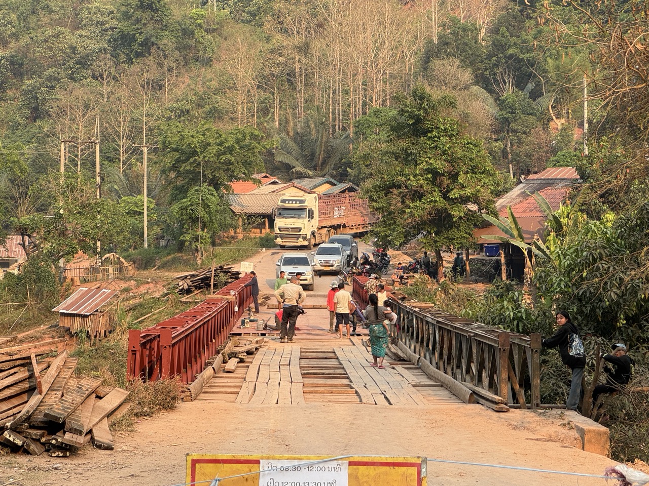
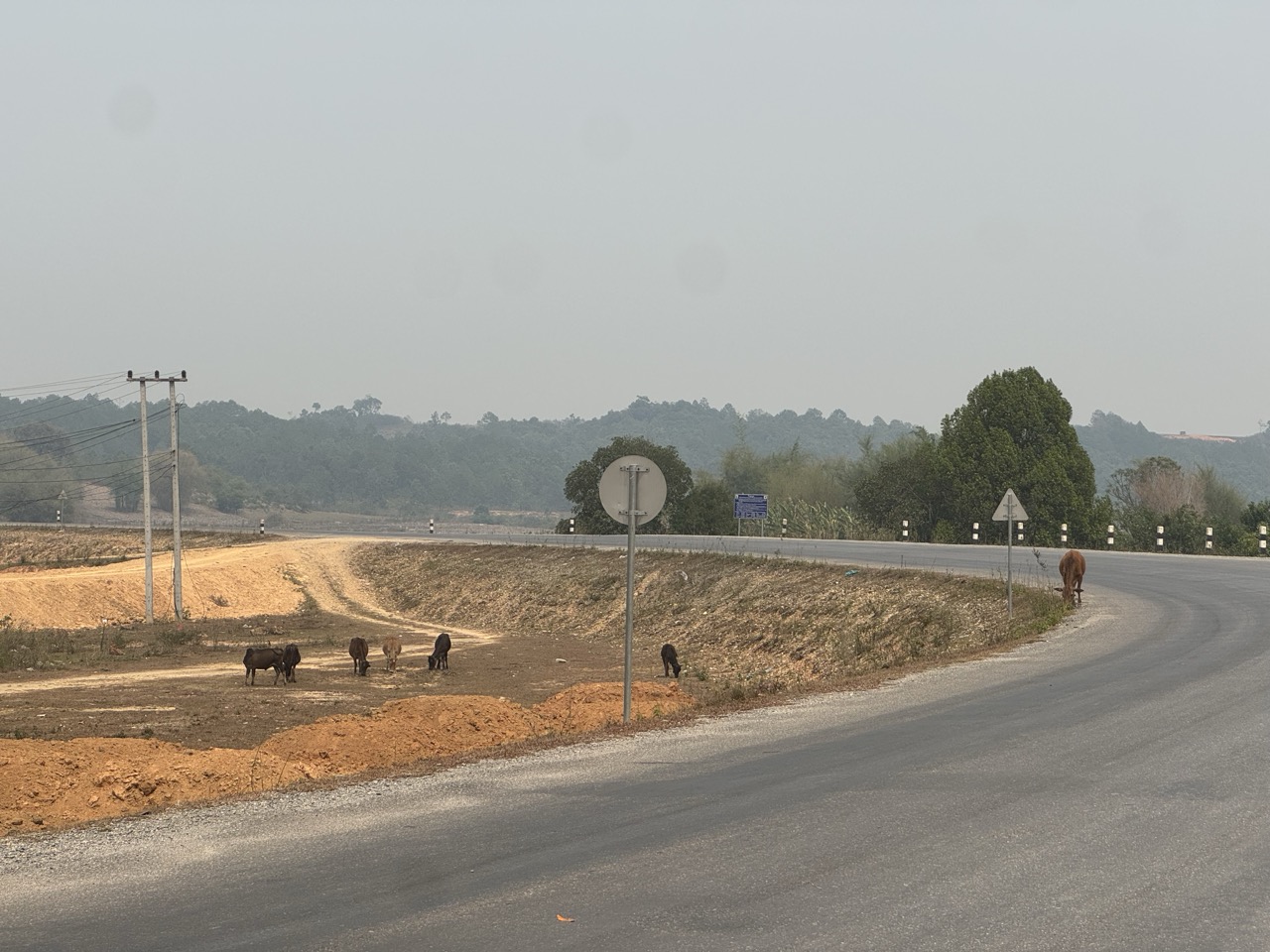
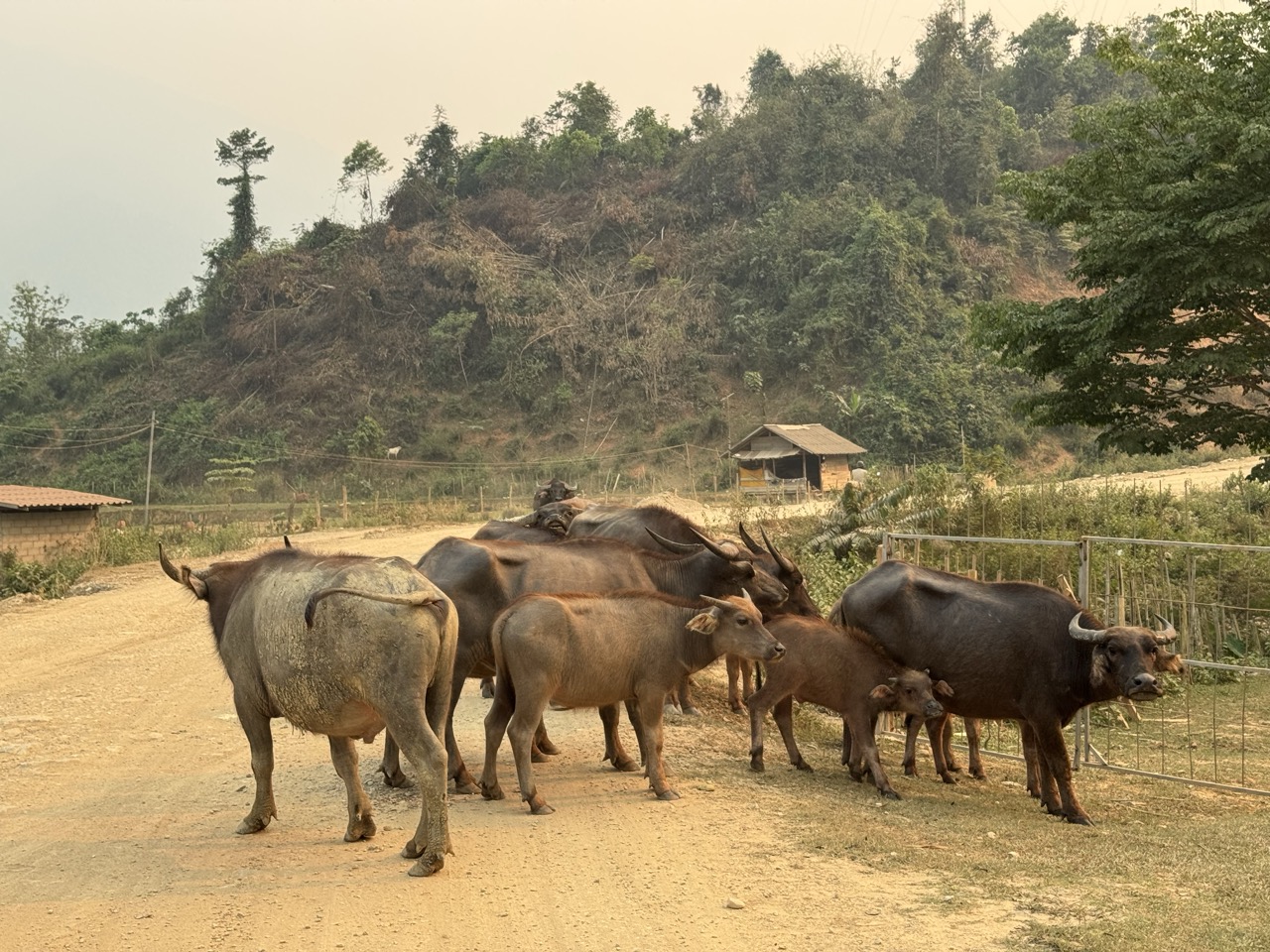
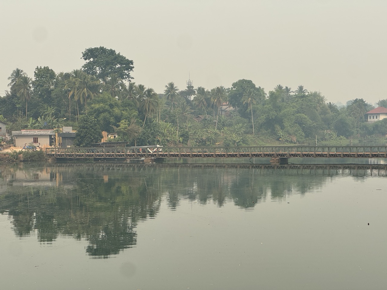
The shortest day of the trip and a deliberate breather. The road south to Vientiane on Route 13 is sealed, fast, and uneventful by Lao standards. We stopped at a few small villages, crossed a couple of Bailey bridges, and were in Vientiane by mid-afternoon.

Lobby in the morning at the Amari, before we left.
Hazy town road, flametree shade.
Taothan primary school gate. Most of the small towns south of Vang Vieng have one of these in the centre.
Bailey bridge over a Mekong tributary, reflecting in the still water below.
River view from another bridge, stupa on the far bank.
Securing luggage at a village stop. The straps loosen up when the road gets bumpy.

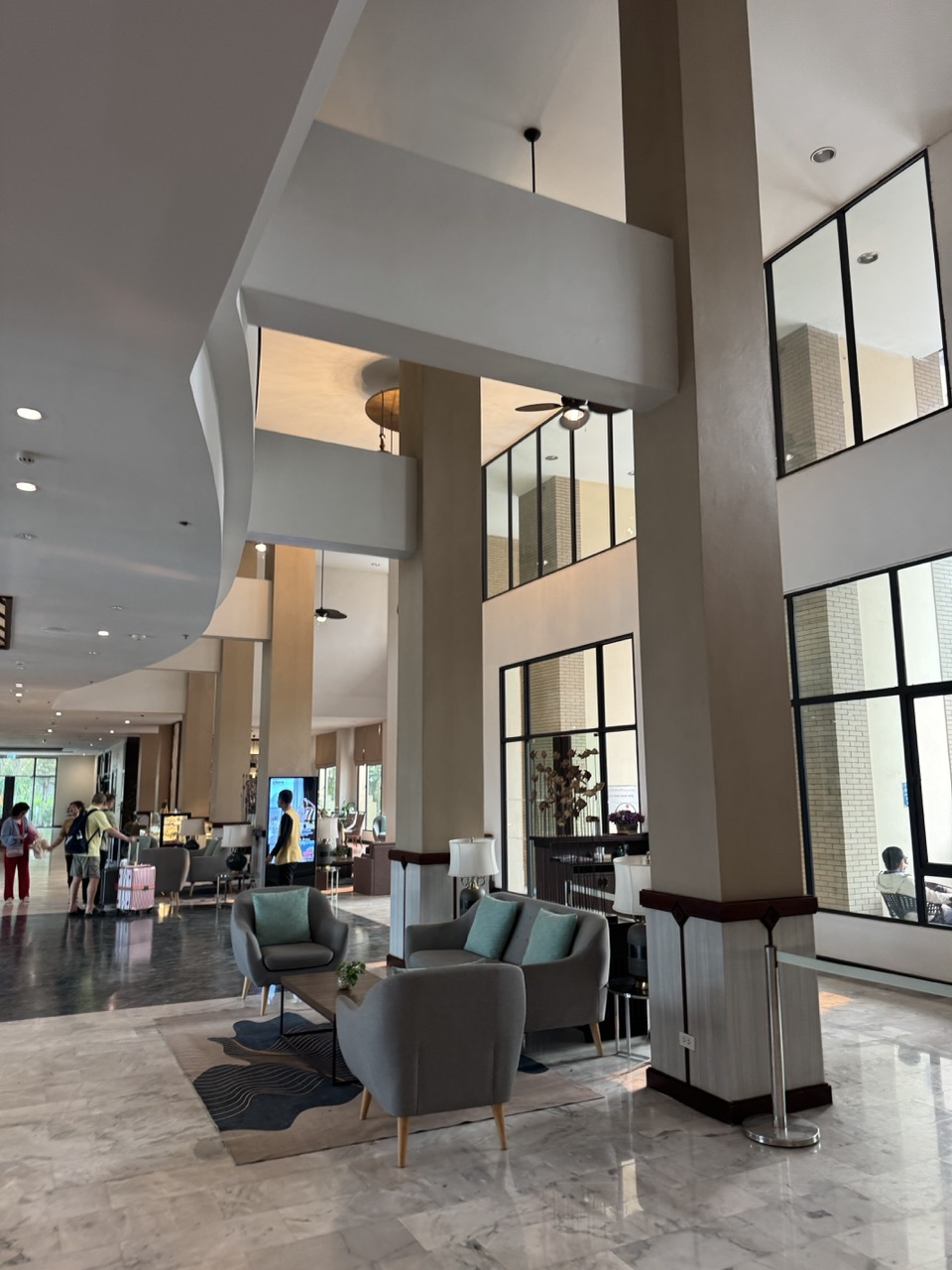
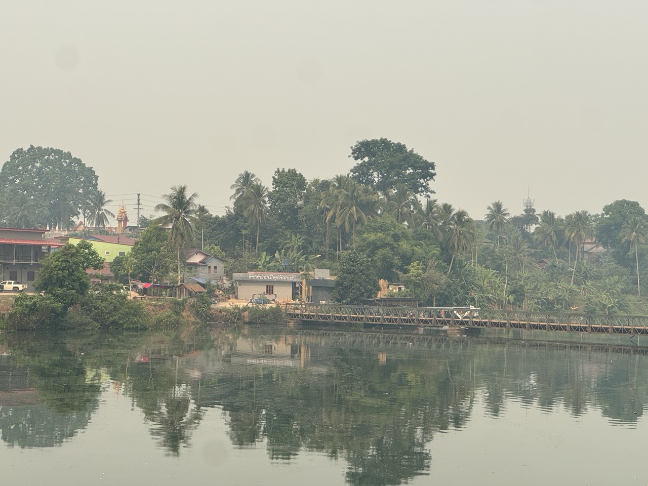
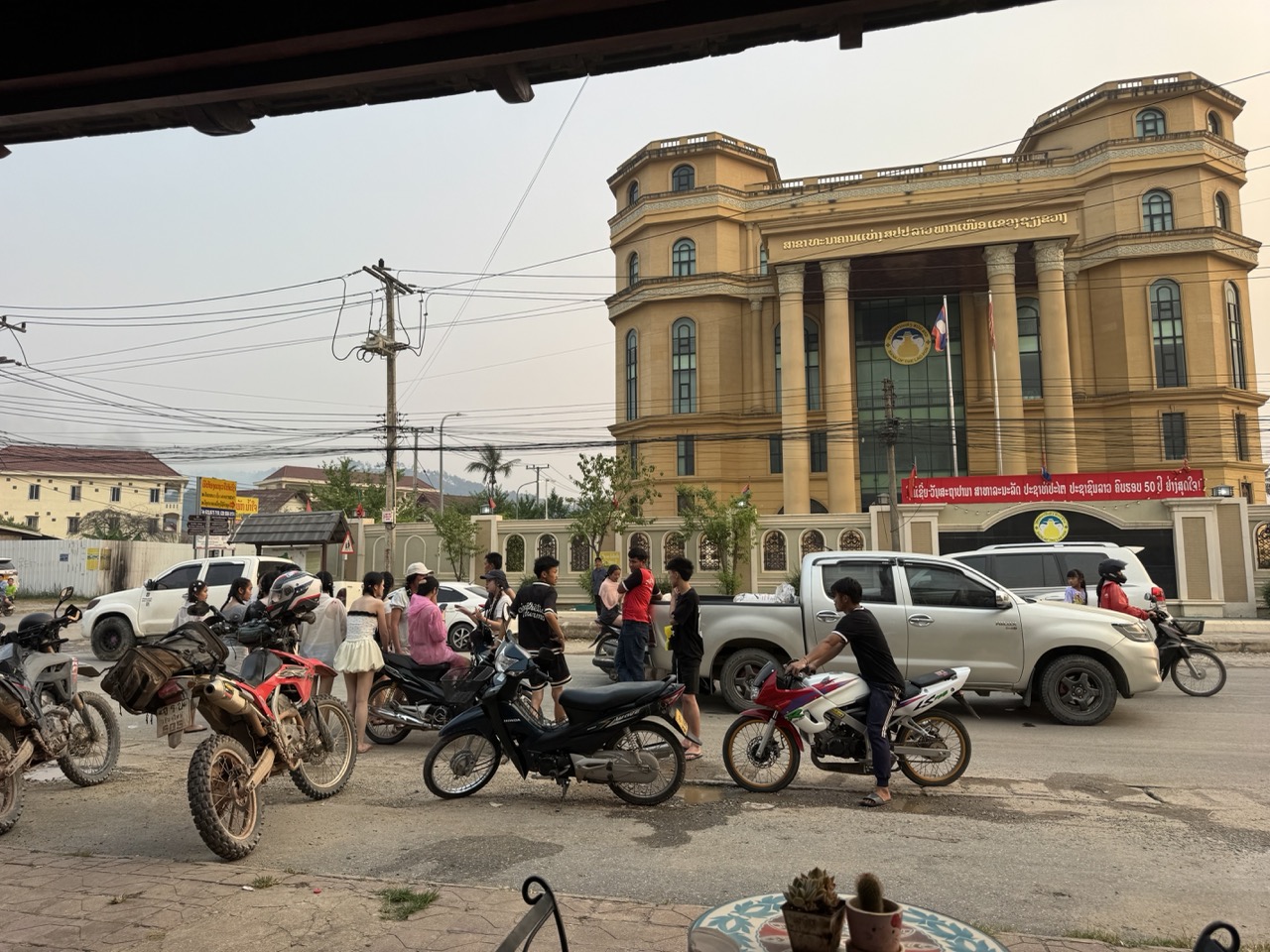
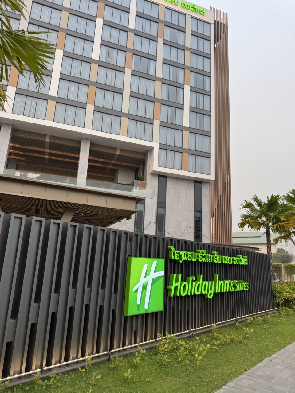
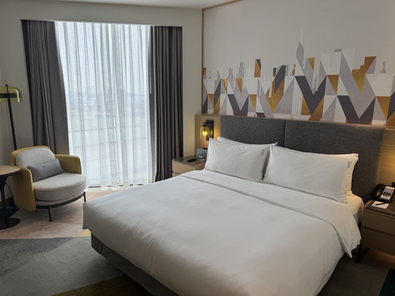
Vientiane is the calmest capital city we've been to in Southeast Asia — wide, low-rise, French colonial bones, the Mekong on its southern edge. We checked into the Holiday Inn for the night because we knew Day 7 was going to be a long, early day and we wanted secure parking, a working desk to plan the morning's border run, and a buffet breakfast to get us out the door fast.

Holiday Inn Vientiane, exterior. Functional and the right call for the night before a long border day.
Bike under the porte-cochere. Staff helpful with parking instructions.
Room. Clean, quiet, big bed. We slept hard.

Day 7 — Vientiane to Chiang Mai via Phu Doo (~577 km)

Day 7: Vientiane → Phu Doo border → Chiang Mai. The longest day of the trip on the GPS, but mostly fast tarmac.

The closing leg. ~577 km from Vientiane back to Chiang Mai including the Phu Doo border crossing — the largest single day of the trip on the GPS, but mostly fast sealed road and mostly familiar terrain on the Thai side. We started before dawn out of the Holiday Inn lobby with the buffet breakfast packed into our tank bags.

The Holiday Inn breakfast buffet. We hit it the moment it opened.

From Vientiane we headed northwest toward the Phu Doo crossing. This was the standout practical lesson of the trip: Phu Doo is far easier and faster than the obvious Friendship Bridge / Nong Khai option. Almost no traffic, friendly staff, the whole crossing took about thirty minutes total including the Lao exit and Thai entry. If you're planning this loop in either direction, design your route around finishing or starting at Phu Doo.

Lao-Thai commemorative marker at the Phu Doo crossing. The crossing itself sits in a quiet stretch of border country with almost no other traffic.
First petrol stop back in Thailand — Thai script on the pump, 91 octane, the small relief of being on familiar ground again. About six hours of riding from here to Chiang Mai.

By dinnertime we were back at the shop in Chiang Mai. ~1,715 km on the trip clocks, two new front fairings to remember, and the long mental afterimage of empty dirt roads through karst country in the morning light.

If You're Thinking About Doing This

A few things we'd actually want to know before doing it again:

  • Bike: a CRF250L or CRF300L is the right call. Anything bigger is too much on the Phonsavan → Vang Vieng dirt sections, anything smaller will leave you fatigued on the Day 7 transit.
  • Tyres: dual-sport tread minimum. We rode dry the whole way, which is normal for April. In the wet season the same dirt sections become a different proposition.
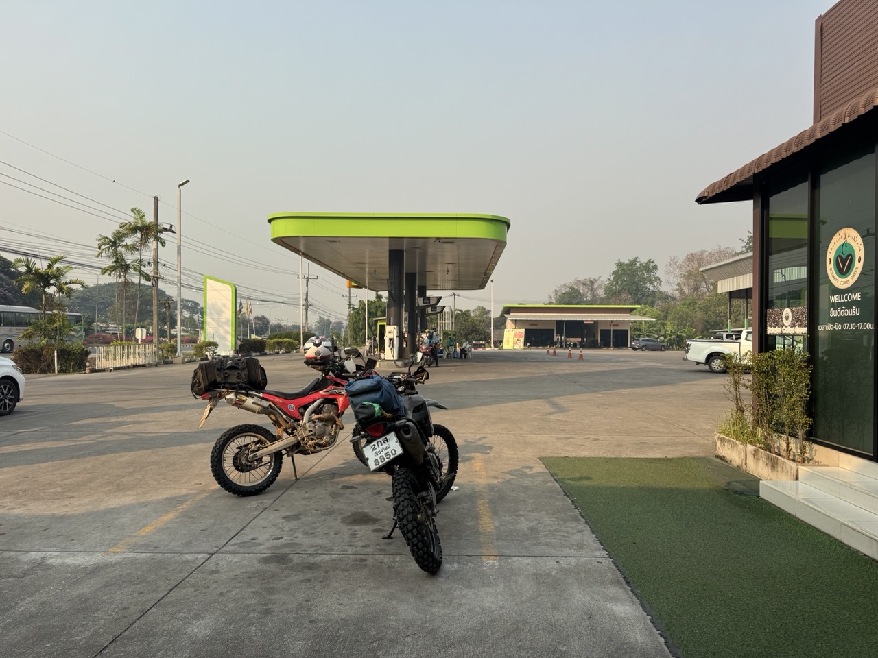
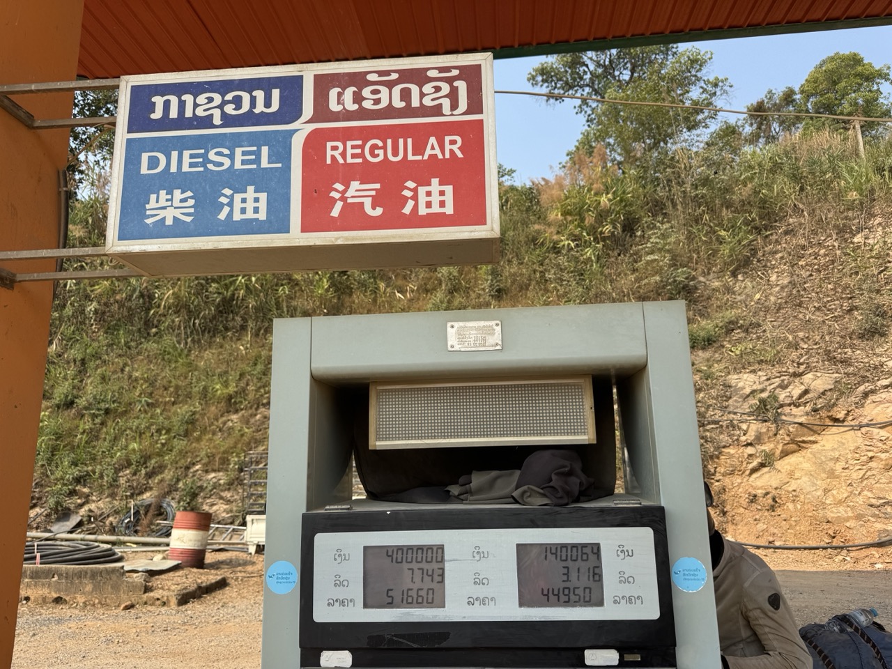
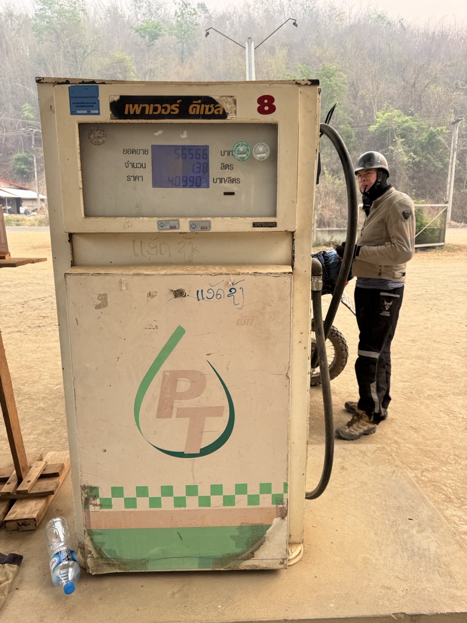
  • Fuel: top up at every Lan Feng / state fuel station you see in Laos. The gaps between stations on the smaller routes are real, especially the Phonsavan → Vang Vieng leg.
  • Cash: USD or Thai baht to exchange at the borders, plus enough Lao kip on hand for the smaller villages where cards aren't a concept yet. ATMs exist in Pak Beng, Luang Prabang, Phonsavan, Vang Vieng and Vientiane — basically nowhere in between.
  • Border paperwork: read the Riders Corner guide before you go. Do not show up at the Lao border without your bike's green book and a clear plan for the temporary import paperwork.
  • Borders we'd recommend: in at Chiang Khong, out at Phu Doo. Phu Doo in particular is worth optimising your last day around.
  • Pi Mai: if you're riding in mid-April, expect to lose a day in Luang Prabang to the festival even if your bike is fine. Plan for it as part of the trip rather than fighting it.
  • Maps: download offline Maps.me / Gaia for Laos in advance. Mobile coverage is spotty in Oudomxay, Xieng Khouang, and the Vang Vieng dirt section.
  • Pace: 7 days is realistic with a rest day. Without one — and without the forced repair stop — you'd be tight on the eastern half.
  • Season: November to February is the textbook window. We rode in April for scheduling reasons; the trade-off was haze and slash-and-burn smoke versus the trails being completely dry.

Northern Laos by dirt bike is the kind of trip that resets your sense of scale. You ride through villages where almost nothing has changed in fifty years, past airfields nobody talks about that still flatten out the landscape from sixty years ago, on roads where the only other vehicles are a sawmill truck and a buffalo herd. If you have the bike, the time, and the willingness to spend a day in a Luang Prabang mechanic shop when the universe insists, do it.

Border-crossing reference (read this first): Crossing Into Laos by Motorcycle — riderscorner.net/guides/crossing-into-laos-by-motorcycle. The full paperwork walkthrough we won't reproduce here. Enter at Chiang Khong; exit at Phu Doo.

northern laos
multi-day
luang prabang
phonsavan
vang vieng
vientiane
plain of jars
pi mai
border crossing
route report
crf

Explore Routes

Browse our curated collection of dirt bike routes throughout Northern Thailand.

Browse Routes

Browse Tour Operators

Find a licensed guided tour operator for your skill level and goals.

View Operators