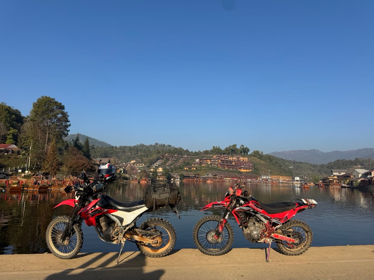
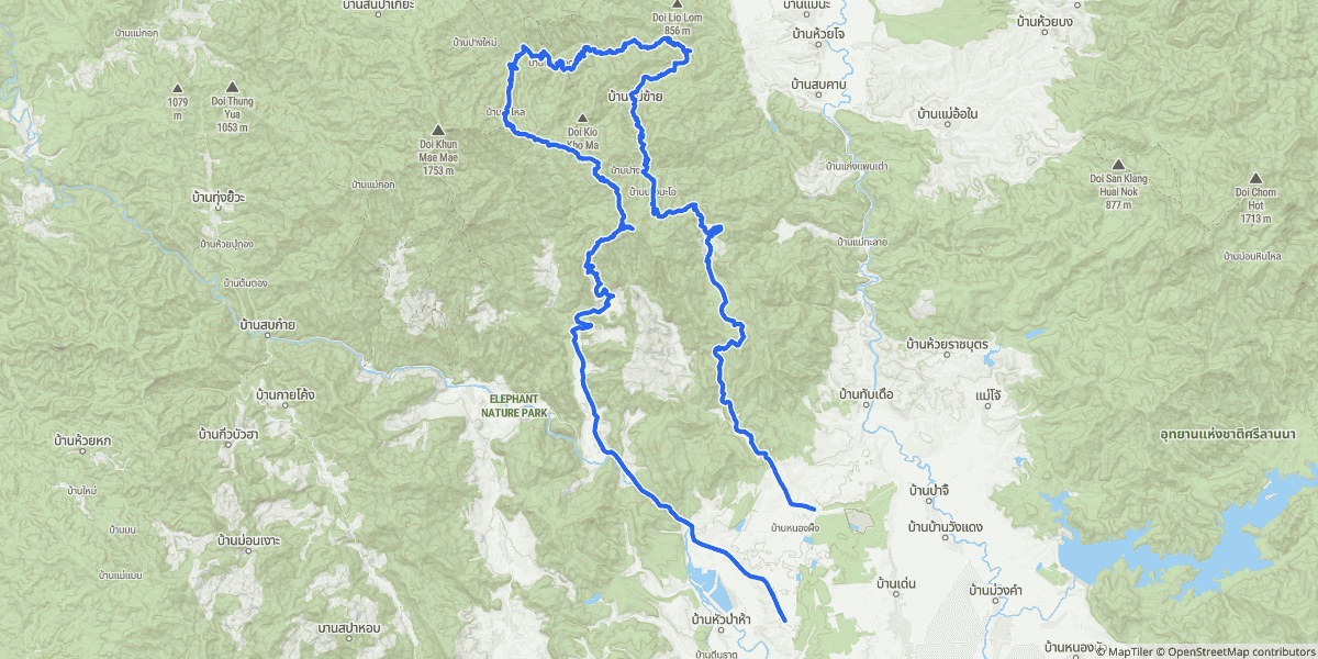
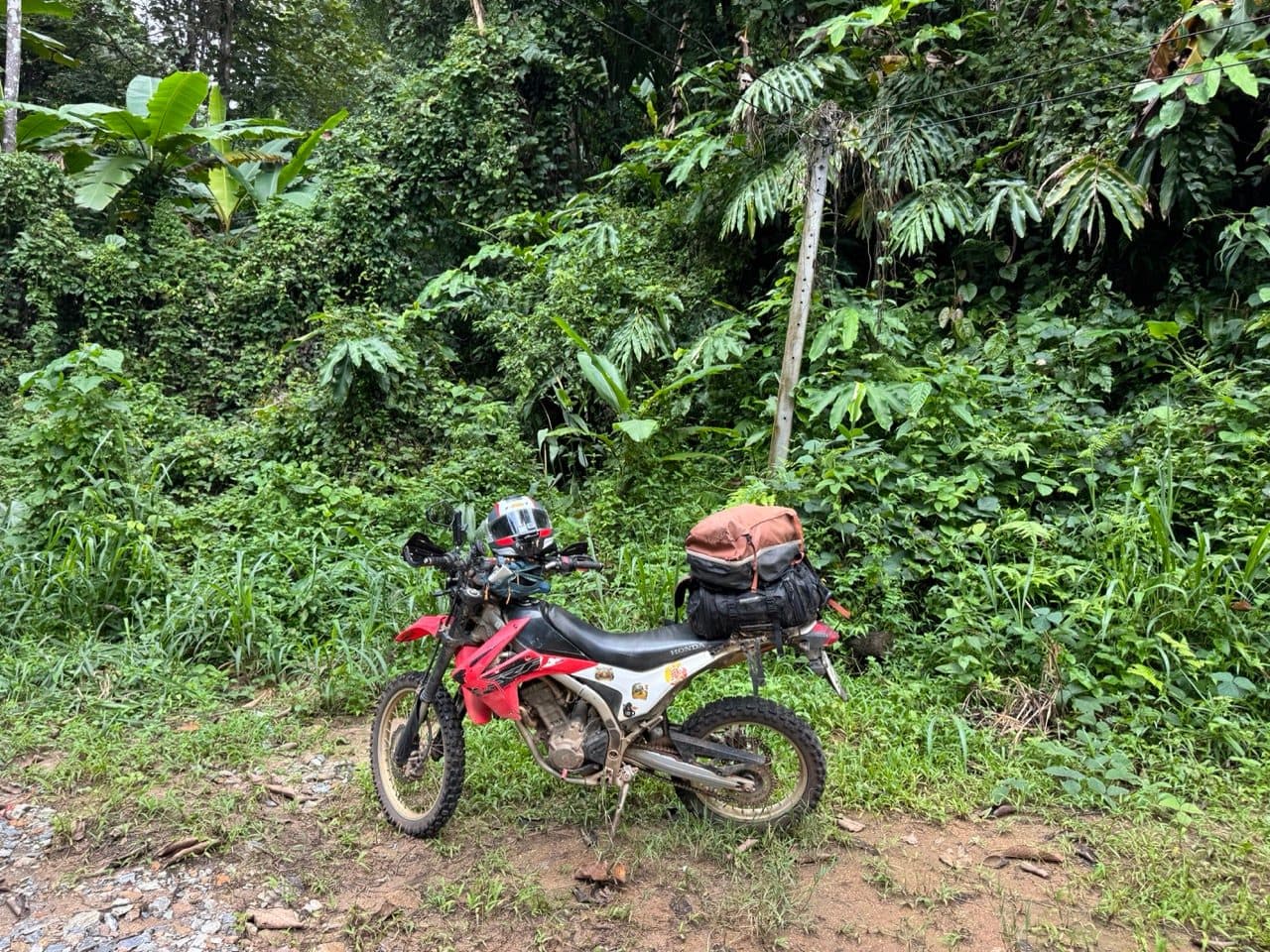
Two of us out of Mae Taeng on a Sunday morning in September — a CRF250L and a CRF300L, up the rocky ridge towards San Pak Kia and back down the other side. The tracker says 70.9 km, and you shouldn't entirely believe it: it stopped logging at 12:17 and didn't wake up again until 14:16. Everything in that gap was coffee and lunch.
| Quick Facts | |
|---|---|
| Date | Sunday 6 September 2026 |
| Distance | ~71 km recorded (tracker paused over lunch) |
| Time | 10:13 to 15:04 — about 2 h 50 m actually moving |
| High point | 1,460 m, from about 350 m in the valley |
| Climbing | ~2,250 m |
| Riders | 2 — a Honda CRF250L and a CRF300L |
| Season | Green season (September) |
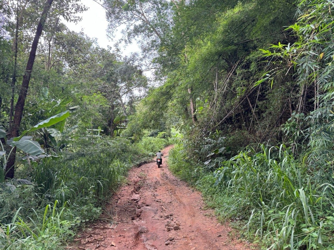
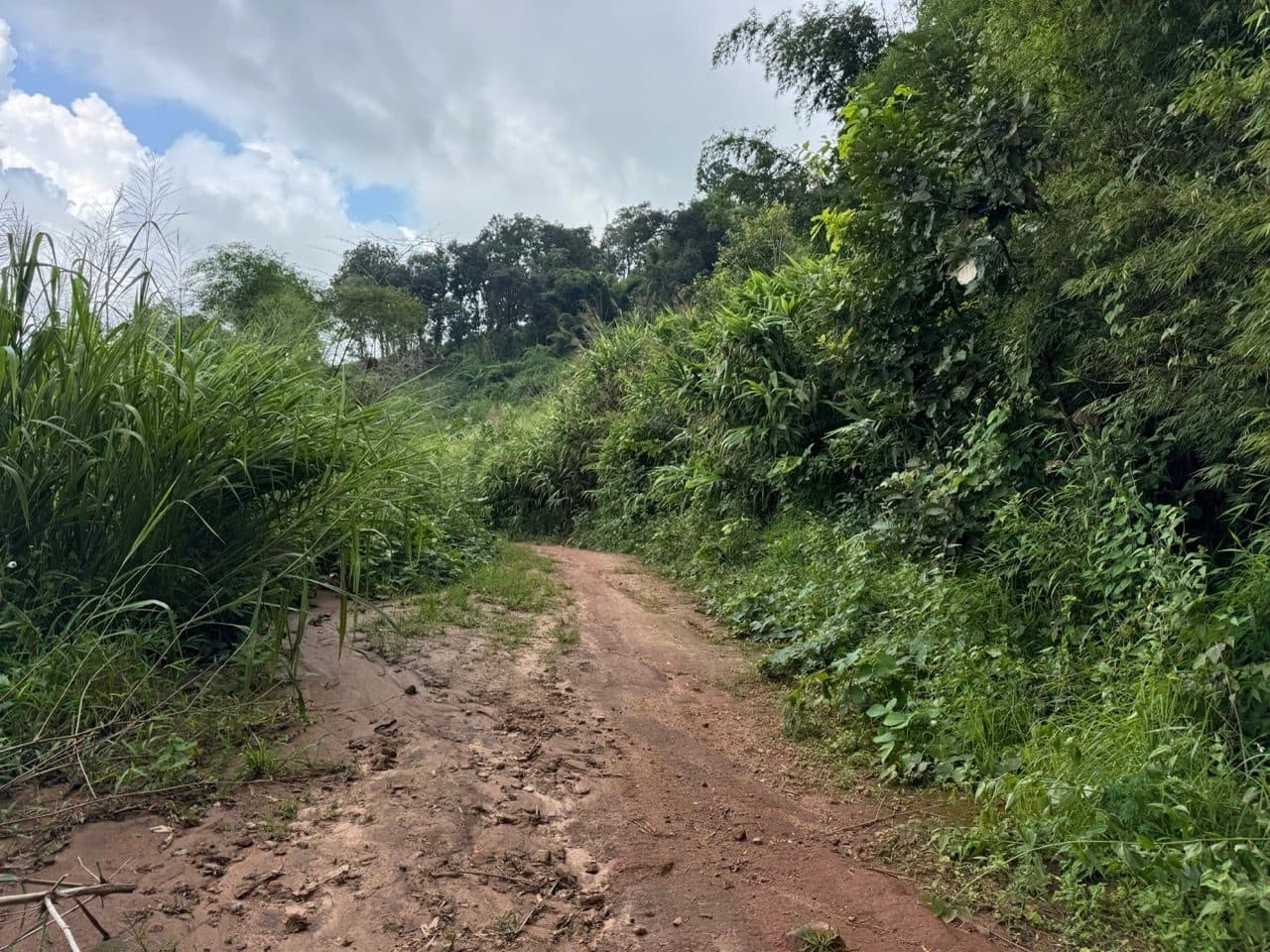
| Surface | Red clay two-track, forest road, some rock |
| Weather | Cloud over the top, about twenty minutes of rain |
| Notable | Ma Doo Doi cafe, under the Doi Luang Chiang Dao massif |
Up out of Mae Taeng
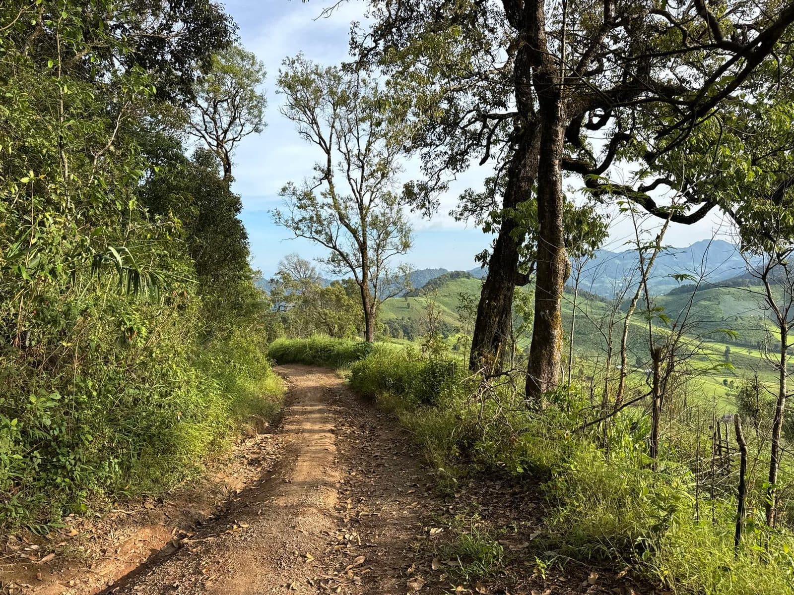
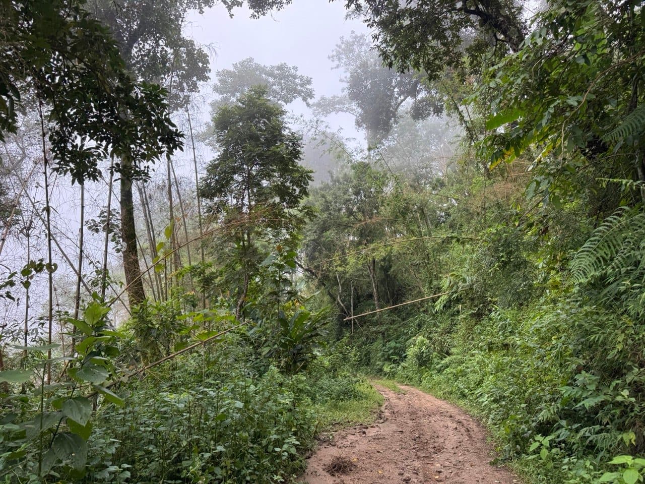
The climb starts more or less immediately. You leave the valley at about 400 m and the track goes up in red clay two-track — wet enough in September to be interesting, not so wet that it becomes a problem. Bamboo and banana close in on both sides, tight enough in places that you're riding a green corridor with a strip of orange down the middle.
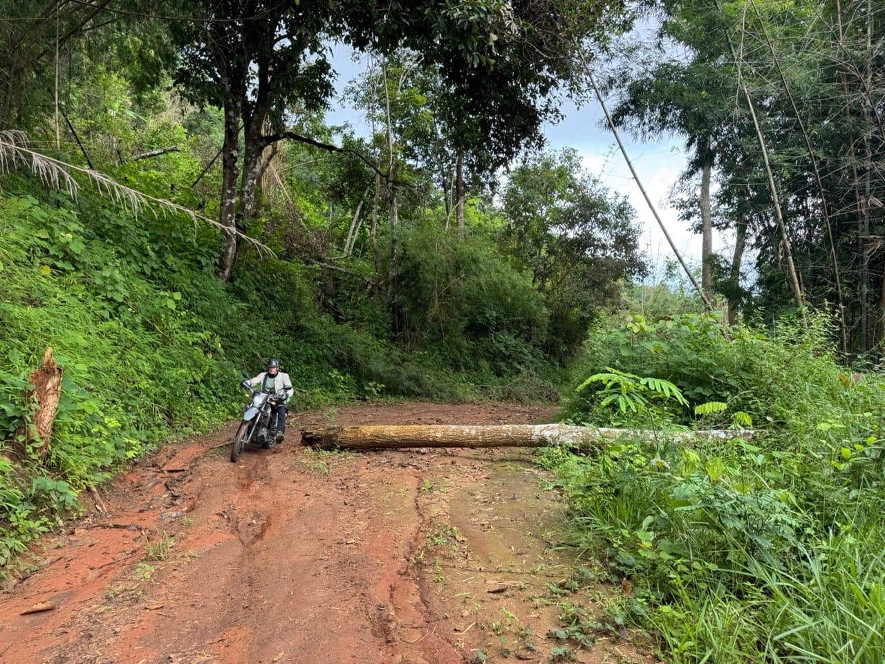
About forty minutes in, a tree straight across the track. Recently down — the stump on the bank was still pale. Green season does this, and it's the reason a folding saw is worth the weight on this ridge. We met one; there could easily be more.
Into the cloud
Somewhere around 1,300 m we rode into cloud and simply stayed in it. Visibility went from fine to maybe thirty metres, the bamboo turned grey, and it got cold enough to notice. The high point of the day is 1,460 m and we went over it through pine forest in mist, unable to see any of the view we'd spent ninety minutes climbing towards.
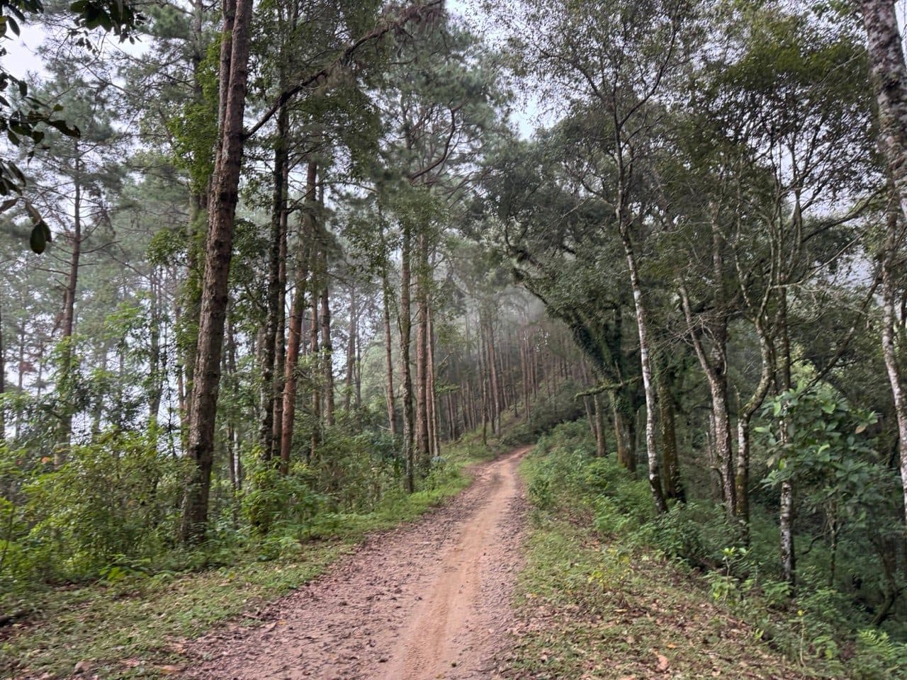
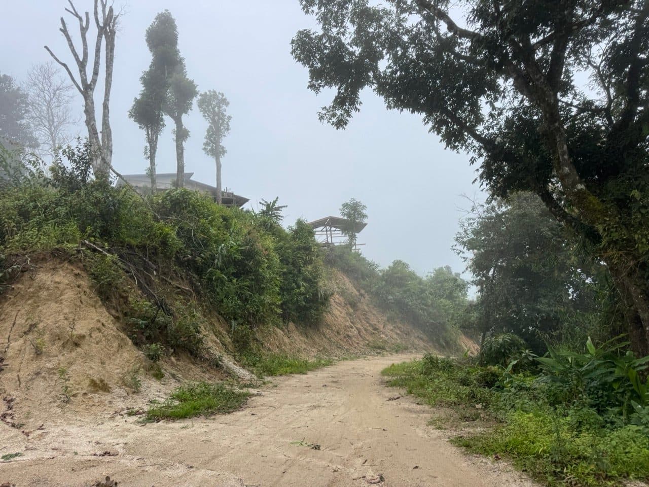
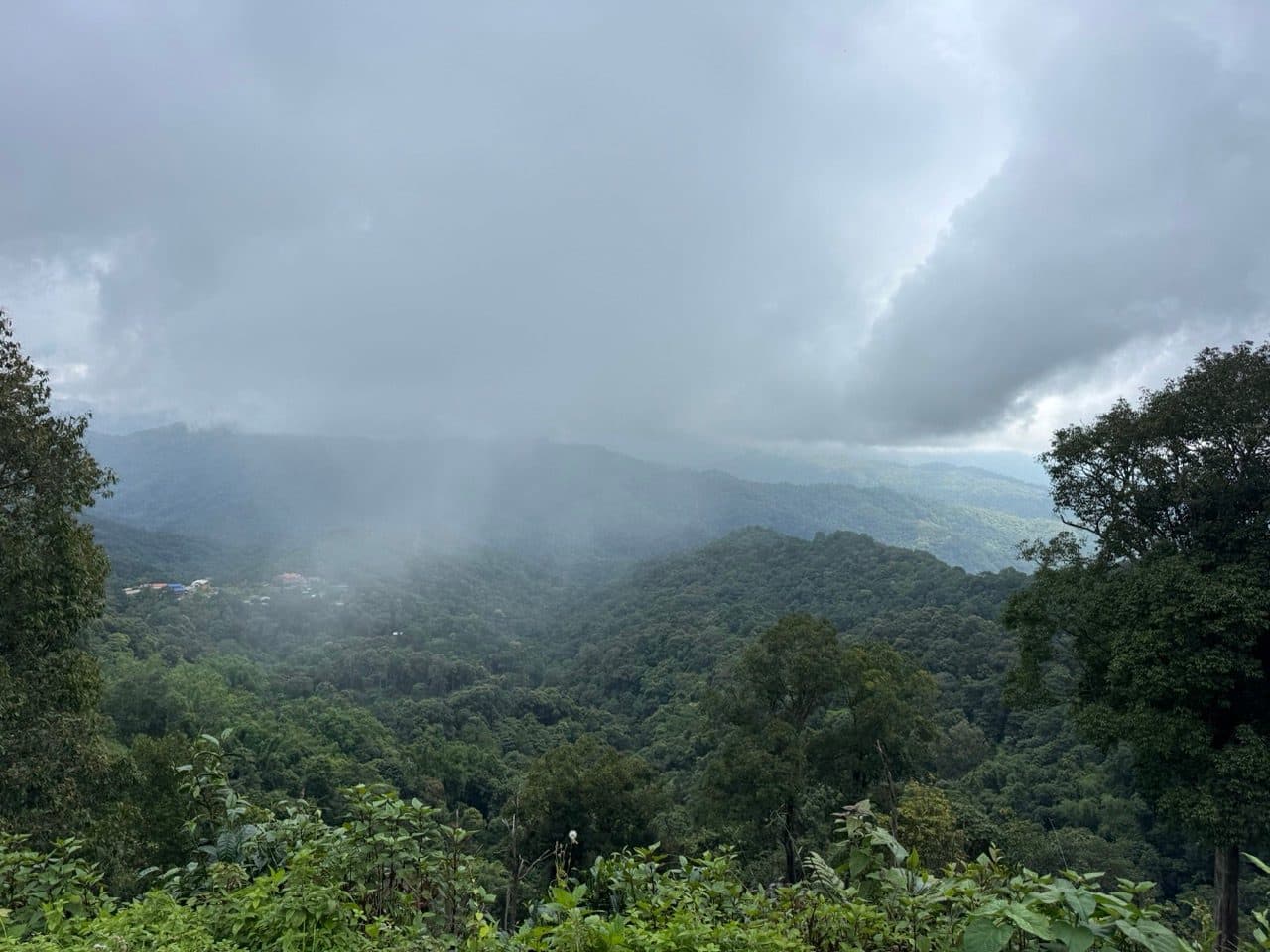
Then the rain — which we got to watch arrive, because it came across the valley below us before it got to us. Twenty minutes of proper wet and it was done. By the time we reached the viewpoint clearing on the ridge the cloud was already lifting off, and ten minutes after that it was breaking up completely. That's September. Expect to get rained on, and expect it to stop.
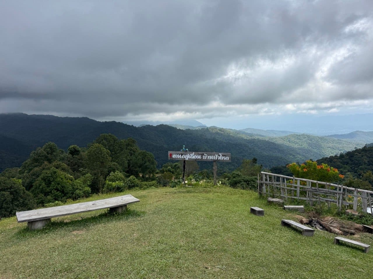
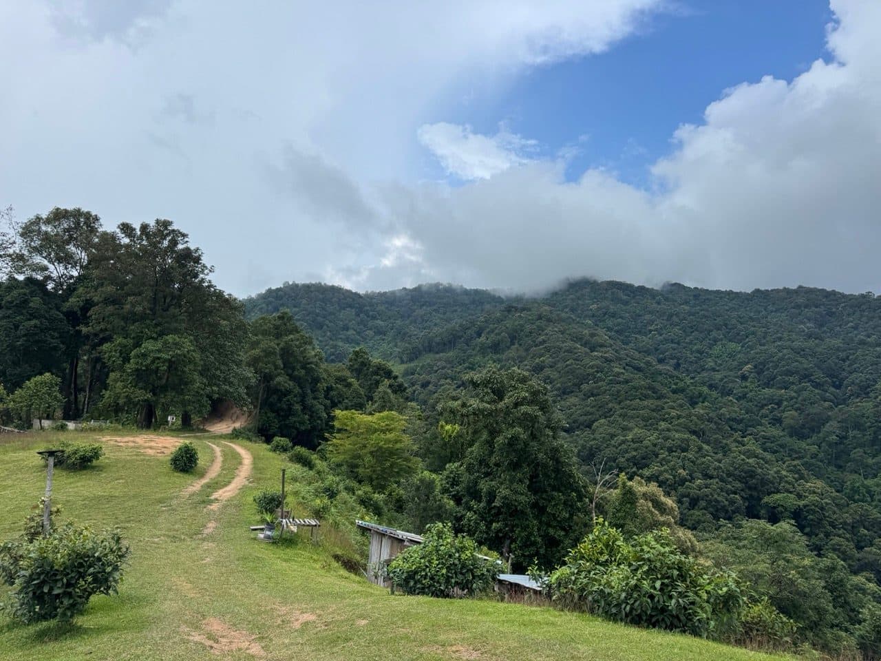
Ma Doo Doi, and a long lunch
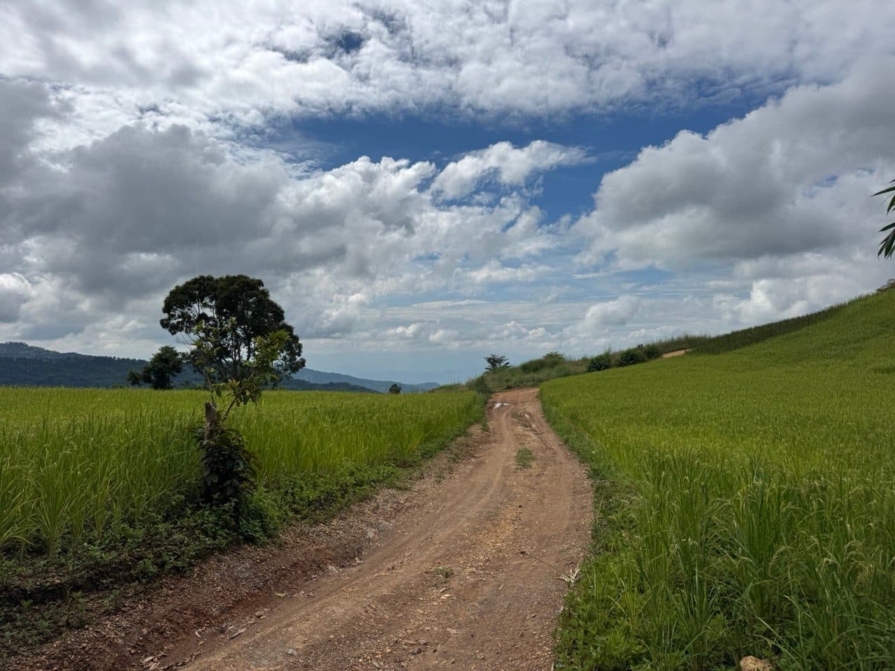
Down the far side the weather changed its mind entirely. Blue sky, cloud stacked up behind the limestone, and Doi Luang Chiang Dao sitting there filling most of the horizon. We stopped at Ma Doo Doi — a cafe built out on a deck with a walkway aimed straight at the mountain, turmeric terraces in flower on the slope underneath it.
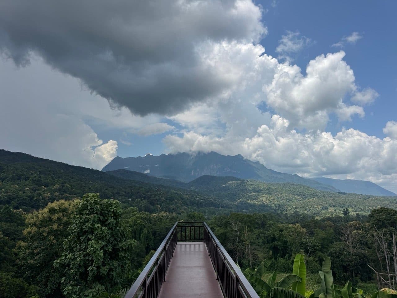
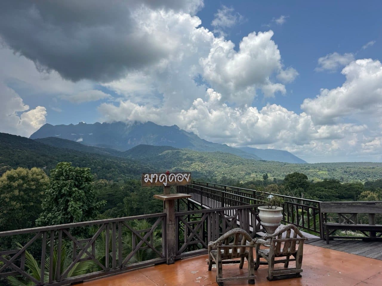
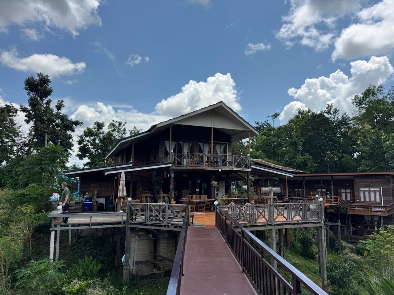
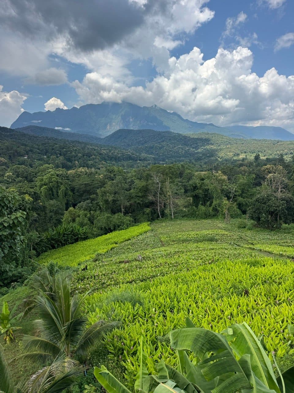
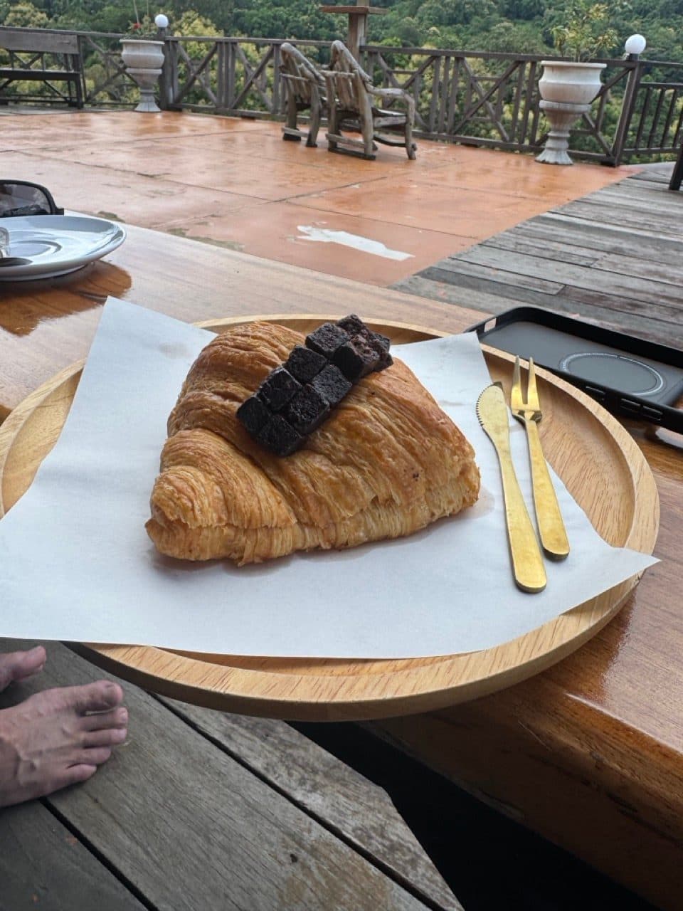
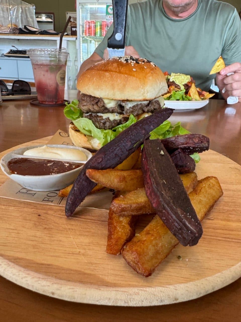
Then on to Jerns for lunch. Between the two stops the tracker sat idle for two hours, which tells you roughly how seriously we were treating the schedule.
Back over the ridge
The ride home exists on the tracker and nowhere else. We picked the bikes up again at 14:16, climbed back to about 1,035 m heading south, and dropped into the valley a little after three. Nobody got a camera out for any of it. By then it was just riding, which isn't a complaint.
Practical notes
- ·Bike — anything trail-capable does this. We had a CRF250L and a CRF300L and neither was working hard.
- ·Tyres — green season means clay. Bring something with actual knobs on it.
- ·Saw — a small folding saw earns its place on this ridge. We found one tree across the track and that is not unusual.
- ·Fuel — fill up in Mae Taeng or Chiang Dao. There is nothing on the ridge itself.
- ·Weather — cloud over the top is normal in September, and rain is a question of when rather than if. It passes.
- ·Skill level — the climb is long but not technical. Wet clay is the difficulty, not the gradient.
- ·Time — allow five hours if you are going to stop properly. Three if you are not.
FAQ
- How long is the Mae Taeng to Chiang Dao rocky ridge ride?
- About 71 km as recorded, with roughly two hours fifty of actual riding. We were out from 10:13 to 15:04, but two of those hours were coffee and lunch.
- What bike do you need for it?
- Nothing exotic. We rode a Honda CRF250L and a CRF300L and neither was stretched. The climb is sustained rather than technical.
- Can you ride it in the rainy season?
- Yes — this ride was September, in the middle of green season. The surface is red clay and grip is fine on decent knobbies. Expect the top to be in cloud and expect at least one shower.
- How high does it get?
- The high point is 1,460 m, starting from about 350 m in the valley, with roughly 2,250 m of climbing across the loop.
- Where do you stop for food?
- Ma Doo Doi for coffee — it looks straight at the Doi Luang Chiang Dao massif — and Jerns for lunch afterwards.
GPX Downloads
1 file · 563 KB
Want this as a standalone route? It is on the routes page with the GPX and the detail.