Exploring and Route Finding: How Adventures Evolve
159 km, five hours, four turn-arounds in the Mae Wang headwaters — a solo scouting day for a loop that doesn’t exist yet. How a 135-gram drone and one rule (eyes-on before wheels-on) turn “does it go?” into “come back with friends.”
*Four turn-arounds, one rule: come back with friends.*
The trail looked rideable
That was the problem.
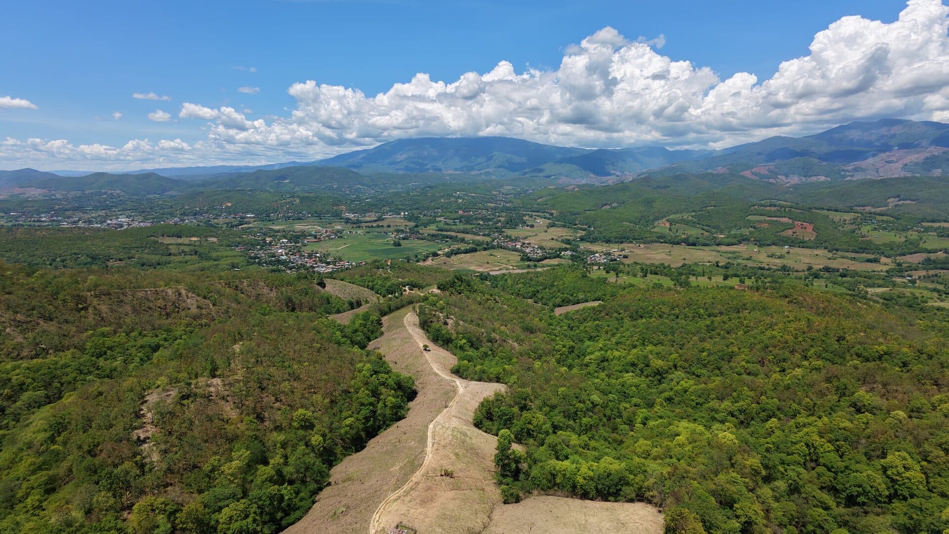
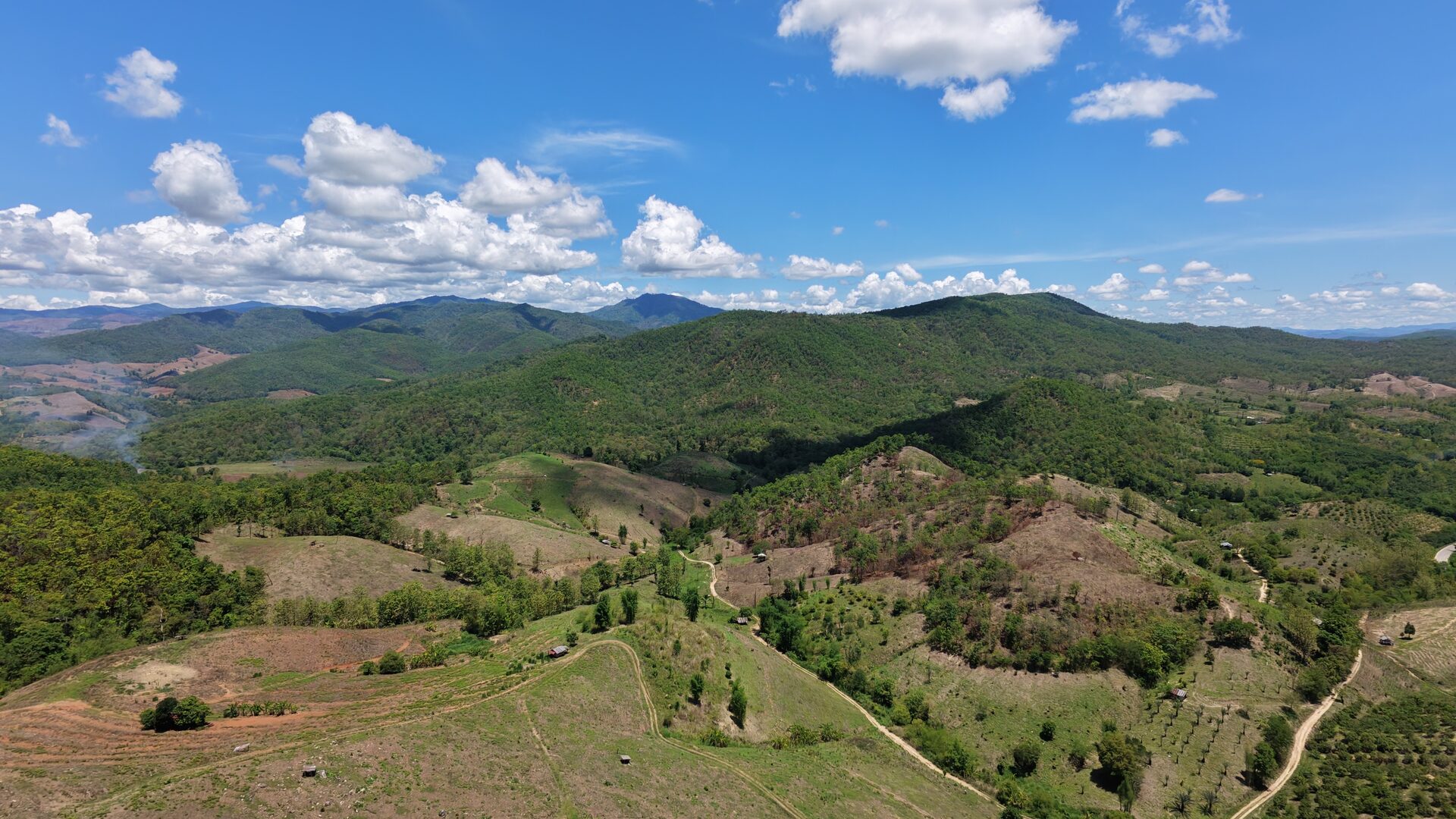
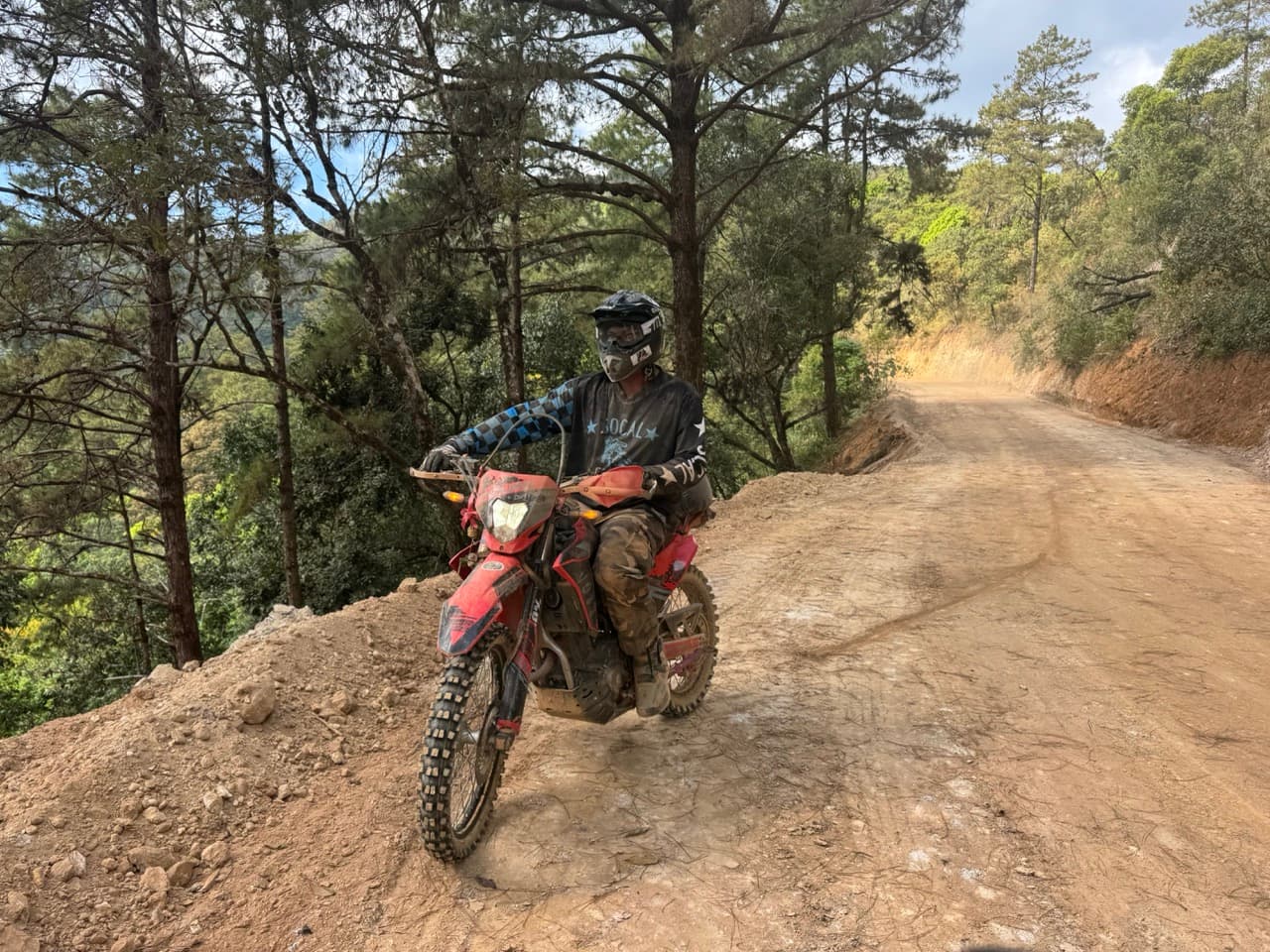
I was alone at 18.464°N, 98.354°E — the deepest west I’d been all day, 117 km in, 730 m above sea level on a singletrack carved out of teak forest dropping into the Mae Wang headwaters. The drone was up, eighty metres above me, looking down the line I hadn’t taken yet. On the screen the trail unspooled cleanly through a knife-edge ridge with Doi Inthanon’s bulk filling the horizon. No washouts. No gates. No surprises in the next half-kilometre.
I sat there eleven minutes. Then I turned around.
This is a story about why.

Why I was out there
I wasn’t trying to reach anywhere. I was trying to find a loop.
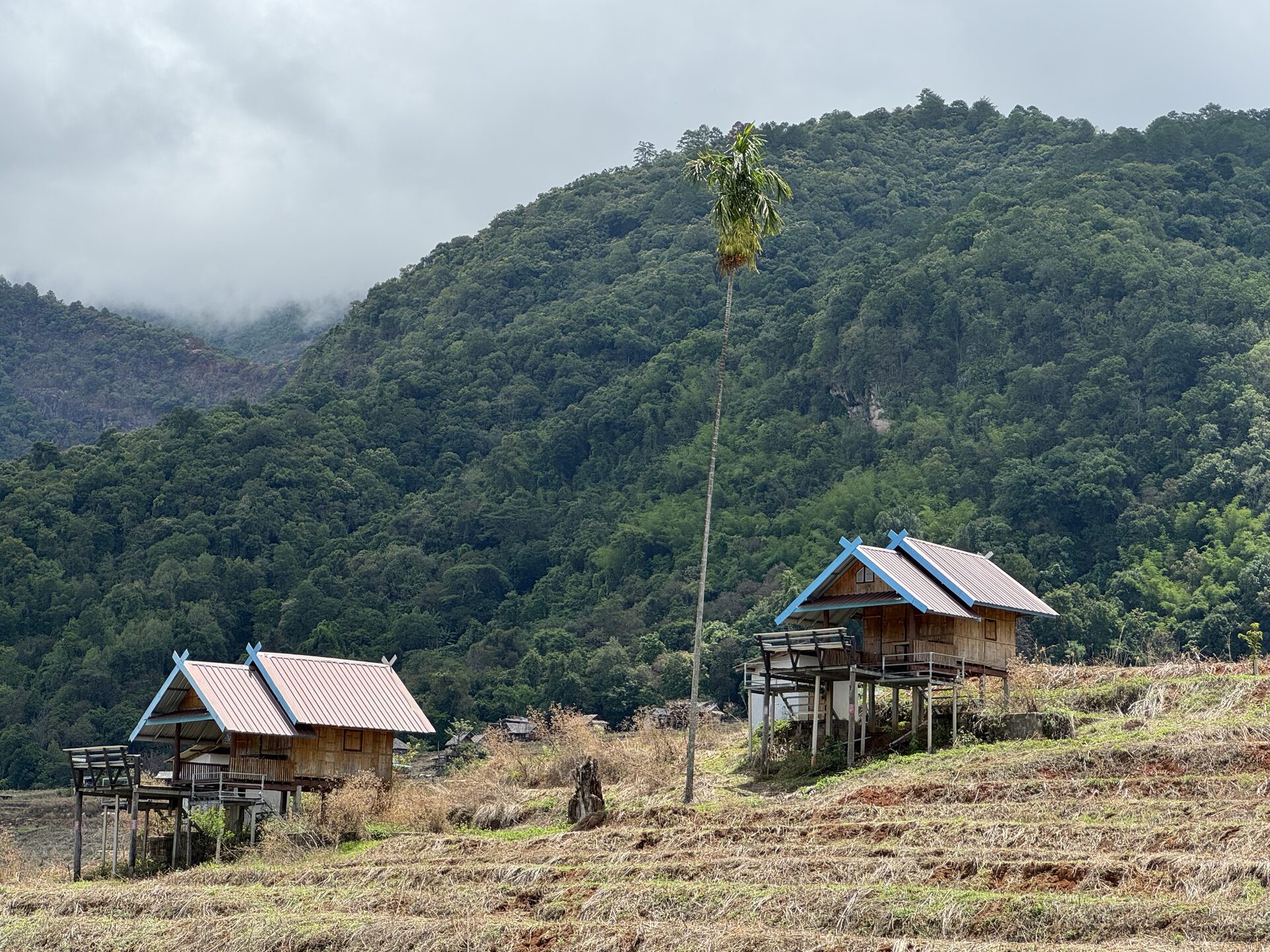
The country between Pa Pong Piang and Mae Chaem is full of trails on paper. Every Chiang Mai rider has been through the Pa Pong Piang rice terraces — the bell is rung, the photo exists. What I wanted was the connector dirt: the lines that get you from the terraces south through the Mae Wang headwaters and out to a Mae Chaem road without ever touching tarmac. Something I could ride again. Something I could ride with friends.
A good loop is a piece of infrastructure. The first time you ride it, you’re surveying. The second time you’re checking that what you wrote down matches what’s actually there. Only the third time is for fun. Today was a first-time-survey day — solo, deliberately conservative, with the drone in the panniers and the understanding up front that whatever I found, I’d be the only one finding it.
What route-finding actually looks like
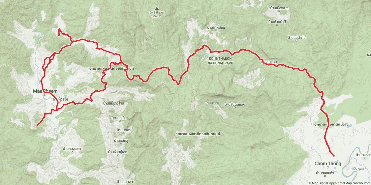
By the numbers, the day was 159 km, just over five hours of moving time, climbing from 284 m at the start to 1,721 m at the day’s high point. About 112 of those kilometres were roads and trails I’d ridden before — the spine I rely on. The remaining 47 km was the point of the day.
| By the Numbers | |
|---|---|
| Distance | 159 km |
| Moving time | ~5 hours |
| Low point | 284 m |
| High point | 1,721 m |
| Familiar ground | ~112 km |
| New territory probed | 47 km |
| Genuinely new dirt ridden | ~4 km |
| Probes / turn-arounds | 4 |
| Drone flights | 3 |
Out of those 47, maybe four kilometres were genuinely *new* — four short tendrils dangling off the GPX file’s east-west arc. Each one was a side road I rode out, then rode right back the way I came. The drone went up at two of them. The bike went a few hundred metres past where the trail looked promising at the other two. Every one of them ended in a U-turn.
Route-finding doesn’t look like a loop on a satellite. It looks like a comb. The trail you ride home on is the spine. The teeth are the probes. Some teeth turn into trail. Most don’t. Today none of them did.
Eyes-on before wheels-on
The rule I rode by today is short enough to put on a sticker: **eyes-on before wheels-on**.
The tool that makes the rule cheap to follow is a DJI Neo 2 — 135 grams, palm-launch, eighteen minutes of battery if the wind behaves, and a transmission range the spec sheet measures in kilometres and the real world measures in *how many trees are between you and the drone right now*. In a forested valley in Mae Wang that’s usually 300–500 metres, sometimes less. It’s the wrong drone for surveying a county. It’s exactly the right drone for answering one question:
Does the next 500 metres of trail go through, or does it die in someone’s chicken yard?
What the drone tells you:
- •The trail is continuous, or it isn’t.
- •The switchback at the bottom is wide enough to turn a 240-pound dual-sport around, or it isn’t.
- •The surface ahead is the same as the surface under you, or it’s changed.
- •There’s a gate, a fence, a construction crew, a stream you didn’t expect.
What the drone won’t tell you:
- •Whether the red clay is dust or grease.
- •How deep the ruts are.
- •How tired you’ll be at the top of the climb back up.
- •Whether the locals at the farmhouse you can just see in the corner of the frame want a stranger on a loud bike rolling through.
The drone is a probability shifter, not an oracle. It pushes a 50/50 decision to a 70/30. And on a solo day, 70/30 is the difference between *go look* and *come back with friends*.
I used it four times. Three times the answer arrived in under two minutes. Once it didn’t matter what the answer was.
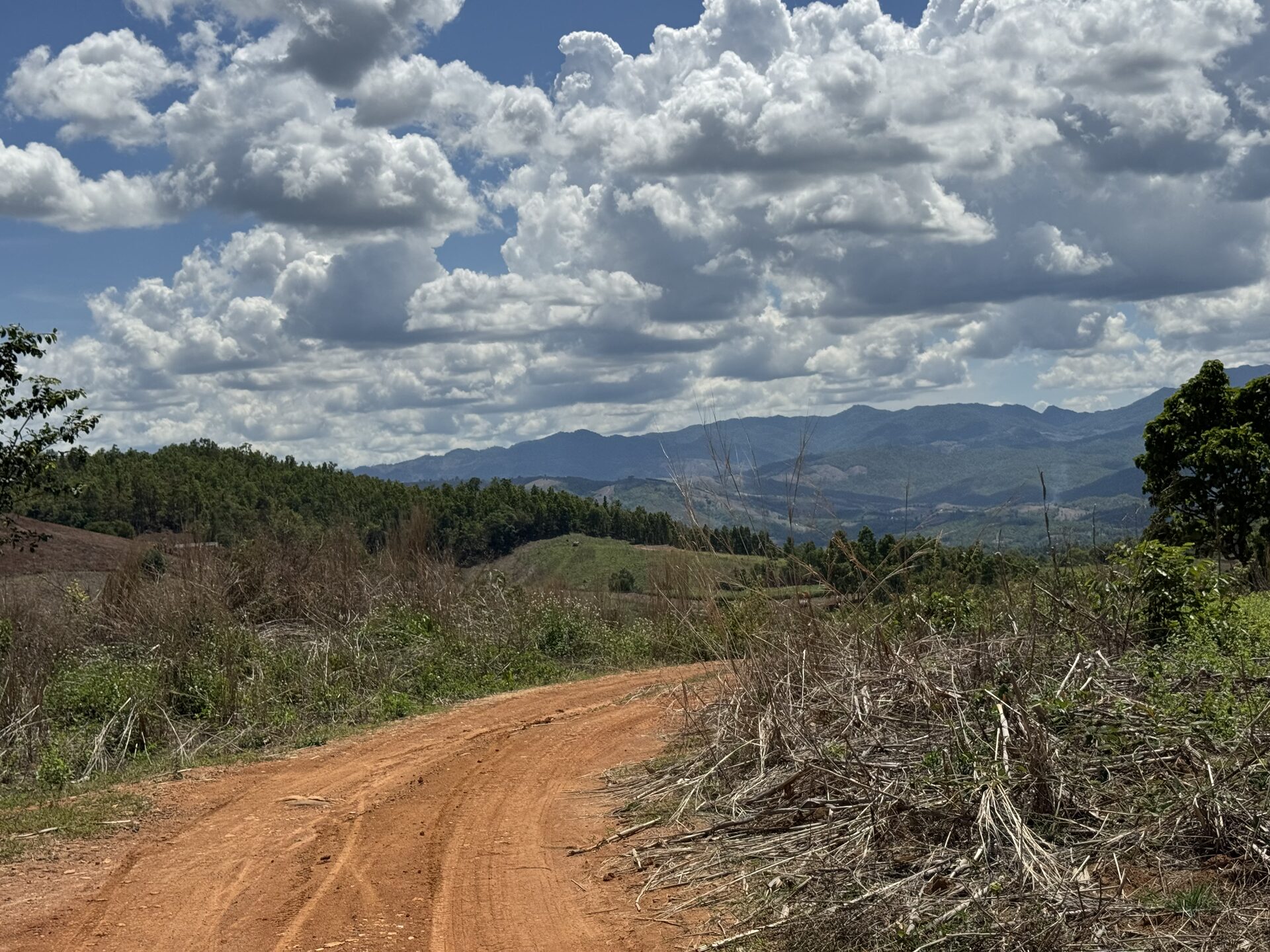
The cheap probes
**Spur 1 — 10:51, below Pa Pong Piang.** A side road off the terrace climb. I rode 800 m down it, watched the surface change from gravel to a worn dirt path that ran straight at a fence, and turned around without unclipping. Thirteen minutes door-to-door. No drone. The wheels told me what they needed to tell me.
**Spur 2 — 11:24, west of the headwaters.** Twenty-six minutes here. From the saddle the side track looked like it might be a through-route — the kind of line that connects to something bigger if you follow it long enough. I stopped, took a vista photo, and put the drone up instead of riding further. What looked like a road from the saddle resolved into a tractor track between two orchards. The drone showed me regular rows of lychee or longan, then the same rows on the other side of the rise, then a farmhouse, then nothing. The orchards photo *is* the entire answer.
**Spur 3 — 12:04, deeper south.** Eight minutes. A faint two-track in the teak, leaf litter winning. I rode 900 m before the trail was less a trail than a memory of one. No drone — wheels-on told me everything in under five minutes of slow riding. I turned around the moment I realized I was the only thing keeping the path open.
Three cheap probes, about forty-five minutes total. None of them produced a loop. All of them produced information. That’s the trade.
After spur 3 I stopped for half an hour at the edge of a slash-burned hillside, ate, watched the smoke come off the cleared slope below me, and looked at the GPX track on my phone. There was one more line worth checking. It was further west than I’d been all day.

The real test
By 13:25 I’d been moving for almost four hours. The fourth probe was different.
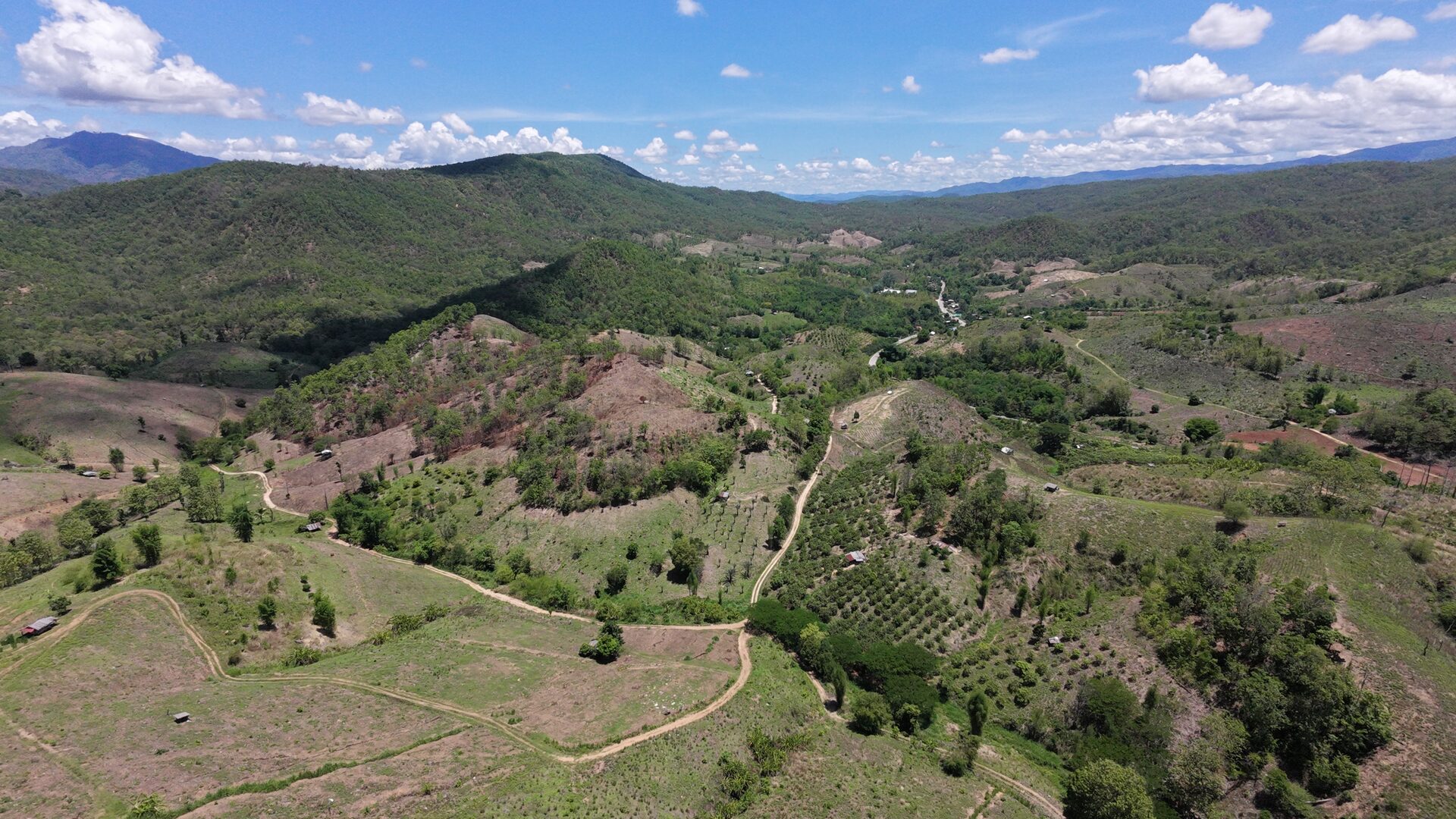
The singletrack I was looking down dropped sharply out of the cleared ridge I’d been riding, fell maybe 150 m of elevation through teak in roughly half a kilometre, and bent right out of sight behind a spur. The vista was the best of the day. I’d been climbing for the better part of an hour to get here. Every instinct said: go.
I put the drone up instead.
Six clips and a still in five minutes. The trail going through, no washouts, switchbacks tight but rideable, the route opening up onto what looked like a forestry road on the far side. The drone was telling me what the rest of me already wanted to hear: *it goes.*
That’s where the rule earns its keep.
The drone can tell me if a trail goes. It can’t tell me if I should ride it solo.
Solo on a descending singletrack into a remote valley with the sun past its peak, no cell signal on Gaia’s status bar, and no one I’d told *specifically* about this leg of the day — the question was never whether the trail was rideable. The question was whether I could ride it *back up* if I had to. If I laid the bike down on the descent, if the forestry road on the other side wasn’t actually a forestry road, if the chain dropped, if the kickstart went, if any of the small things that happen on long days happened on this trail today, the climb out alone was going to be ugly. Manageable. But ugly. And ugly alone is how small mistakes turn into rescue calls.
I closed the drone. I took one more photo of the ridge so I’d recognize the spot when I came back with two friends and a backup bike. I turned around.
The eleven minutes I spent at the turn-around weren’t hesitation. They were the work. Most riders I know would have ridden it. A year ago I would have ridden it. The version of me that turned around at 13:42 was the version that had been collecting reasons to come back with friends all morning, and now had three. That was enough.
The reward
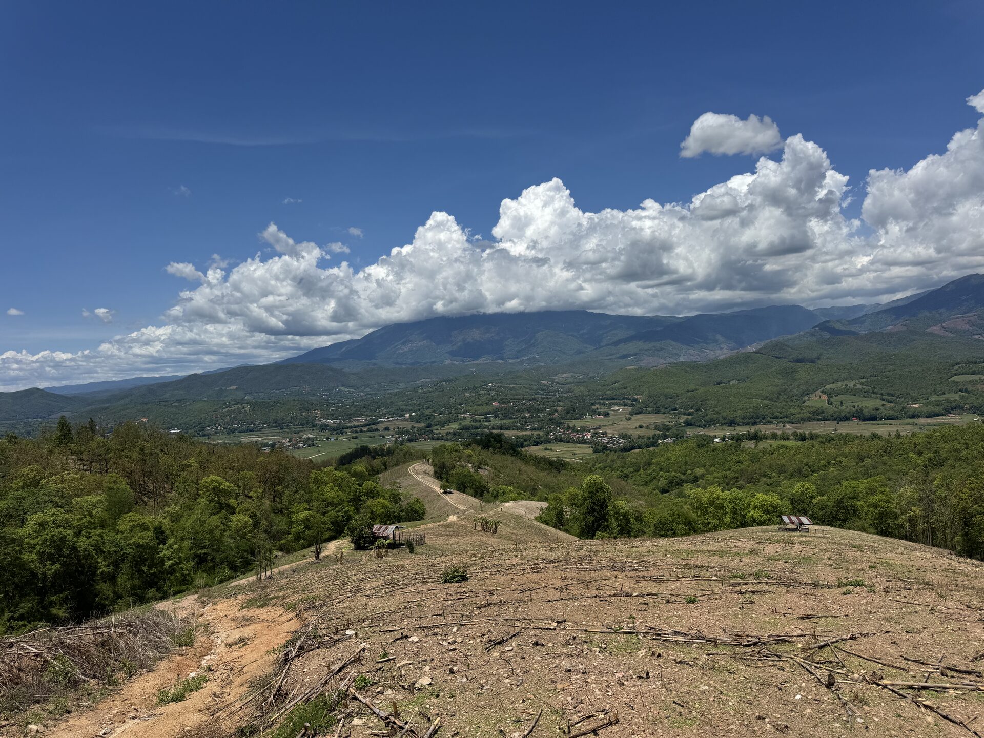
Past 14:00 I was back on a road I knew. The east face of Doi Inthanon, the same climb I’ve done a dozen times, on tarmac that earns you 1,700 m of elevation if you’ve got the patience for it. I hit the day’s high point — 1,721 m at 15:05 — without any decisions left to make.
Some days the right call leaves you somewhere familiar. That’s not the day failing. That’s the day deciding what kind of day it actually was. The morning was for new country. The afternoon was for confirming that the new country was still there, still waiting, and that I still wanted to come back to it.
What’s saved for next time
I came home with three trails I hadn’t ridden and a fourth I’d ridden enough of to recognize the start of. Spur 2’s tractor-track isn’t coming back — the orchards already answered. Spur 3 deserves a slow walk on foot with a friend trailing the bike, because the wheels told me the trail had stopped existing and the drone wasn’t going to argue. Spur 1 was a courteous turn-around at someone’s drive, and that’s where it ends.
Spur 4 — the big one — gets a full trip. Two riders, two bikes, drone in the air, a satellite messenger between us, enough daylight on the return leg to absorb a mistake. That ride is already on the calendar in my head. The footage I brought back from today is the receipt. I’ll watch the spine-ridge clip again the night before. I’ll know what I’m riding into.
The day I planned isn’t the day I rode. The day I rode is what writes the next one. That’s how adventures evolve — not by sticking to the route, but by being honest about the route in front of you and walking away from the right ones for the right reasons.
Conservative isn’t the opposite of adventurous. Out here it’s the price.
If You’re Thinking About Doing This
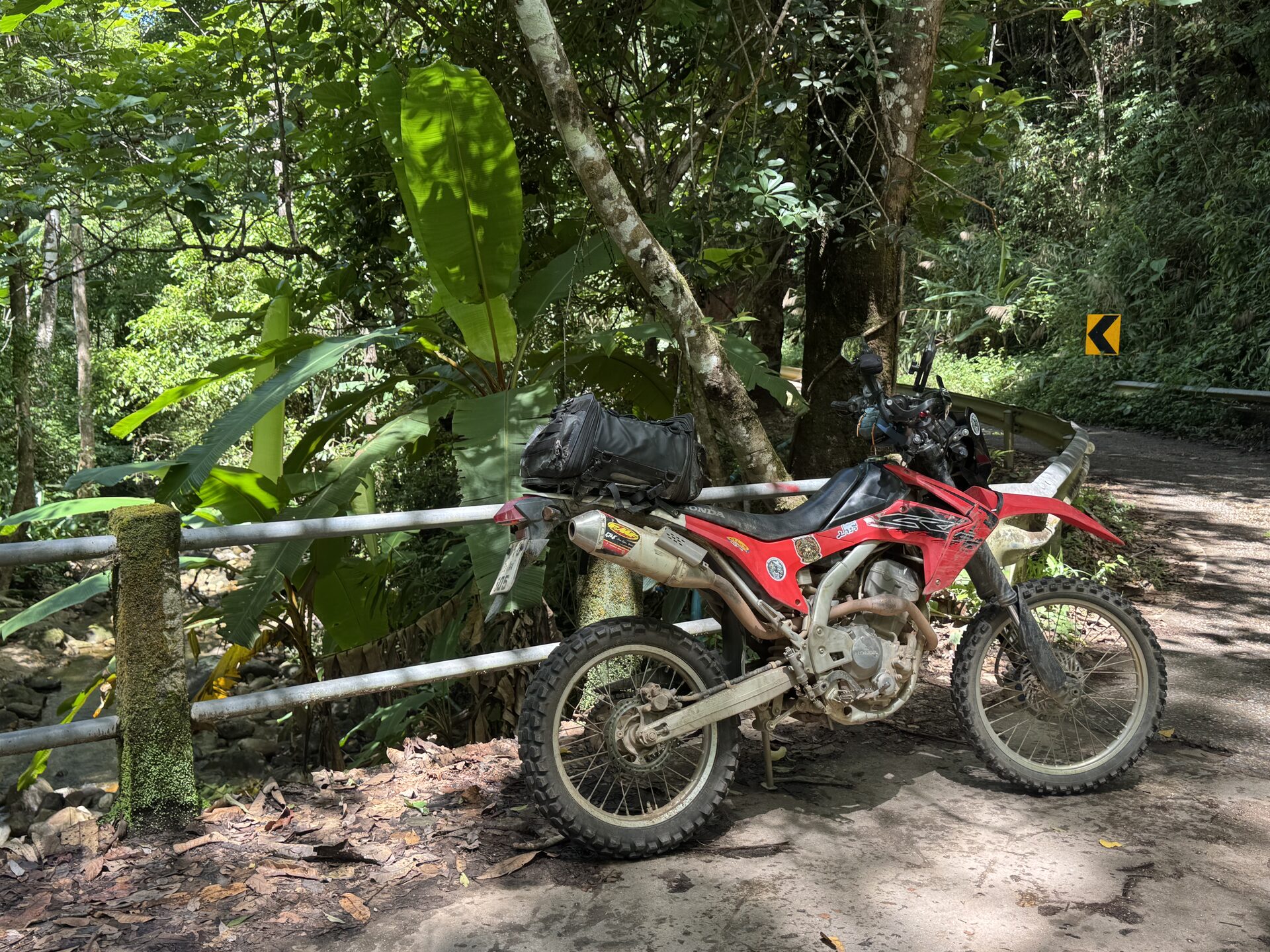
- •Bike: any 250+ enduro. The probes are short enough that a heavier dual-sport works too.
- •Drone: small, light, palm-launch. The DJI Neo 2 (135 g, ~18 min battery) is the sweet spot — small enough to live in a pannier, smart enough to fly itself back when the trees eat the signal.
- •Comms: satellite messenger if you’re going solo into the Mae Wang headwaters. Cell coverage drops fast off the GPX spine.
- •Maps: download offline tiles in Gaia or equivalent. The signal that gets you home is the one you cached this morning.
- •Rule of thumb: eyes-on before wheels-on. If you can put a camera over the next 500 m for under two minutes, do it.
- •Solo discipline: every probe is a there-and-back. The trail you take is the trail you have to ride out.
- •Season: cool & dry (Nov–Feb) is the easy mode for scouting. Wet red clay turns probe decisions into commitment decisions.
If you want the loop this day was scouting *for*, the closest existing line is the Chiang Mai to Mae Chaem dirt bike day ride — same general country, finished route, less drone work.
FAQ
- What is the “eyes-on before wheels-on” rule?
- It’s the rule for scouting unfamiliar trail: before you commit the bike to a section you can’t easily turn around on, put eyes on the next stretch by other means — a small drone, a walk forward on foot, a vista that lets you see the line. The goal isn’t certainty, it’s shifting a 50/50 decision to 70/30. On a solo day that margin is the difference between “go look” and “come back with friends.”
- What drone do you use for route-finding on a dirt bike?
- A DJI Neo 2 — 135 grams, palm-launch, about eighteen minutes of battery, fits in a pannier. It’s the wrong drone for surveying a county, but it’s exactly the right drone for answering one question: does the next 500 metres of trail go through, or doesn’t it? In a forested Mae Wang valley you’ll usually get 300–500 m of usable transmission range.
- Is it safe to ride solo in the Mae Wang headwaters?
- It can be, with discipline. Tell someone specifically which leg of the day you’re on. Carry a satellite messenger. Cache offline maps. Make every probe a there-and-back, not a commit. The trail you take is the trail you have to ride out — alone, possibly hurt, possibly with the bike in worse shape than when you started. If you can’t confidently ride the line both directions, don’t ride it solo.
- Why does a route-finding day sometimes end with no new trail ridden?
- Because route-finding is information work, not distance work. A day where you turned around four times can still be the day that unlocks the next ride — you came home knowing which lines are dead ends, which need a partner, and which deserve a full trip. The footage and the GPX track are the receipt. The next ride writes itself off the back of this one.
- When is the best season for scouting new dirt around Chiang Mai?
- November through February — the cool, dry season. Trails are firm, visibility is good for drone work, and a probe that ends in a turn-around doesn’t cost you anything beyond time. Burning season (March–April) is hot and smoky. Rainy season (June–October) turns red-clay probes into commitment moves you didn’t mean to make.
Want the finished version of the country this day was scouting? The Chiang Mai → Mae Chaem dirt bike day ride is the closest existing loop, written up with a map and GPX.
Read the Chiang Mai → Mae Chaem day ride

Explore Routes
Browse our curated collection of dirt bike routes throughout Northern Thailand.
Browse Routes